For historical information only, do not use for navigation or aviation purposes!
| Coordinates | N500358 E0122441 (WGS84) Google Maps |
| Elevation | 1575 ft |
| Location indicator | LKCB |
The history of the Cold War airfields: Cheb
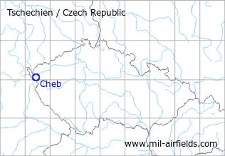
Location of airfield
Southeast of Cheb.
During World War II
Usage until 1945
Eger-Oberschön airfield.
During the Cold War
Situation
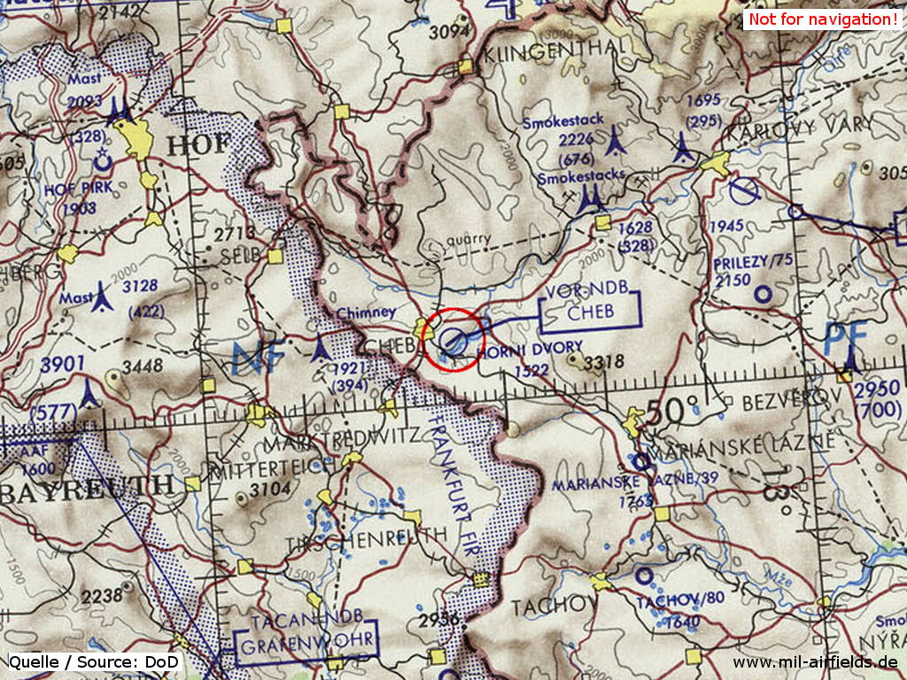
Cheb Airfield on a map of the US Department of Defense from 1973
Source: ONC E-3 (1973), Perry-Castañeda Library Map Collection, University of Texas at Austin
Runways
- 05/23: ca. 1000 m
Links
- Fronta.cz - Pictures from may 1945 - Aerial pictures with destroyed installations and airplanes
Bibliography
- Ries, Karl; Dierich, Wolfgang: "Fliegerhorste und Einsatzhäfen der Luftwaffe" Motorbuch Verlag Stuttgart, 1993 - Map from 194x
Airfields in the vicinity
- 145°/37km Tachov: Airfield (Letiště Tachov)
- 067°/39km Karlovy Vary: Airport (Letiště Karlovy Vary)
- 086°/39km Přílezy: Airfield (Letiště Přílezy, Toužim)
 Follow mil-airfields on Facebook