For historical information only, do not use for navigation or aviation purposes!
| Coordinates | N501410 E0145520 (WGS84) Google Maps |
| Elevation | 656 ft |
The history of the Cold War airfields: Milovice
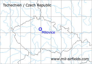
Location of airfield
East of Milovice.
During World War II
Use
Milowitz airfield.
During the Cold War
Use
Soviet air base.
Situation
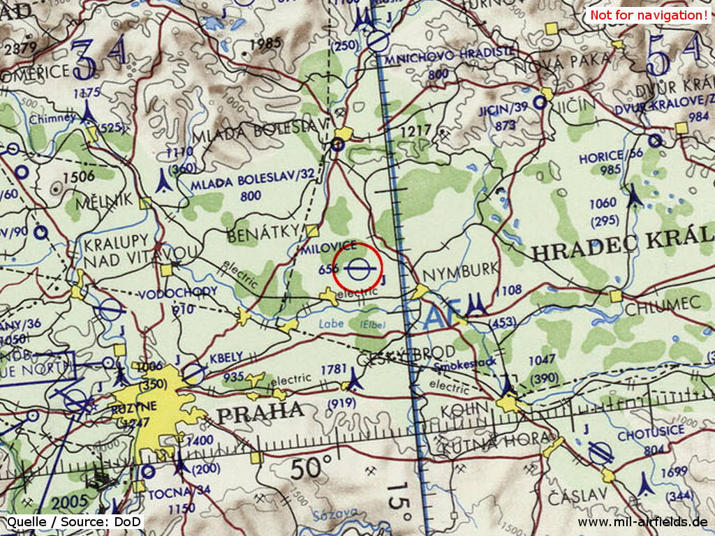
Milovice Air Base on a map of the US Department of Defense from 1973
Source: ONC E-3 (1973), Perry-Castañeda Library Map Collection, University of Texas at Austin
Runways
Data for the year 1990:
- 10/28
Radio beacons
Data for the year 1990:
- LOM: 514.5 "DZ"
- LMM: 250 "D"
Radio communication
Call sign "DIKOBRAZ" (ДИКОБРАЗ) (198x).
According to western signals intelligence (SIGINT), the airfield was also called "Navigacni Punkt 400" by the Czechoslovak Air Force.
Units
IAP MiG-23 (1990)
Today
Use
Closed.
Links
- http://www.milovice.cz/fotogalerie/vvp.php - "VVP a letiště"
- http://www.milovice.cz/fotogalerie/cztv.php - Russian troops leaving
 Follow mil-airfields on Facebook