Nur zur geschichtlichen Information, nicht zur Navigation oder zum Fliegen verwenden!
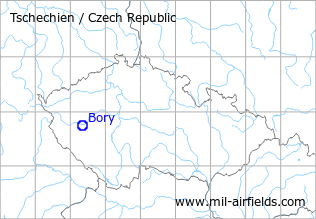
| Koordinaten | N494353 E0132008 (WGS84) Google Maps |
| Location indicator | LKPB |
Die Geschichte der Flugplätze im Kalten Krieg: Plzeň
Im Zweiten Weltkrieg
Nutzung
Verkehrsflughafen von Plzen, später Flugplatz der Luftwaffe.
Situation
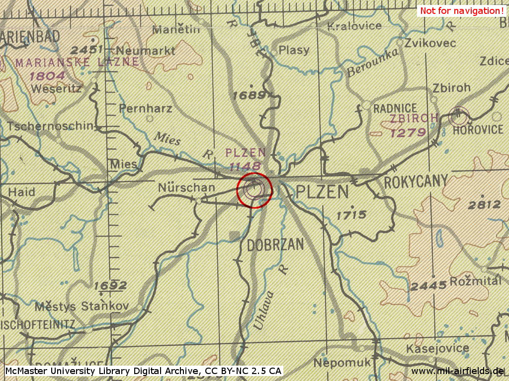
Der Flugplatz Pilsen im Zweiten Weltkrieg auf einer US-Karte aus dem Jahr 1944
Quelle: McMaster University Library Digital Archive, Lizenz: Creative Commons Attribution-NonCommercial 2.5 CC BY-NC 2.5 CA
Im Kalten Krieg
Nutzung
Hubschrauberbasis der rschechoslowakischen Volksarmee.
1950er Jahre
Übersicht
Luftbilder aus dem Jahr 1956
Quelle: kontaminace.cenia.cz Bezogen entsprechend den Lizenzbedingungen für nichtkommerzielle Nutzung.
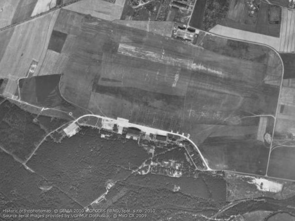
Der ungefähr in Bildmitte sichtbare Bunker steht noch heute - siehe Bilder unten
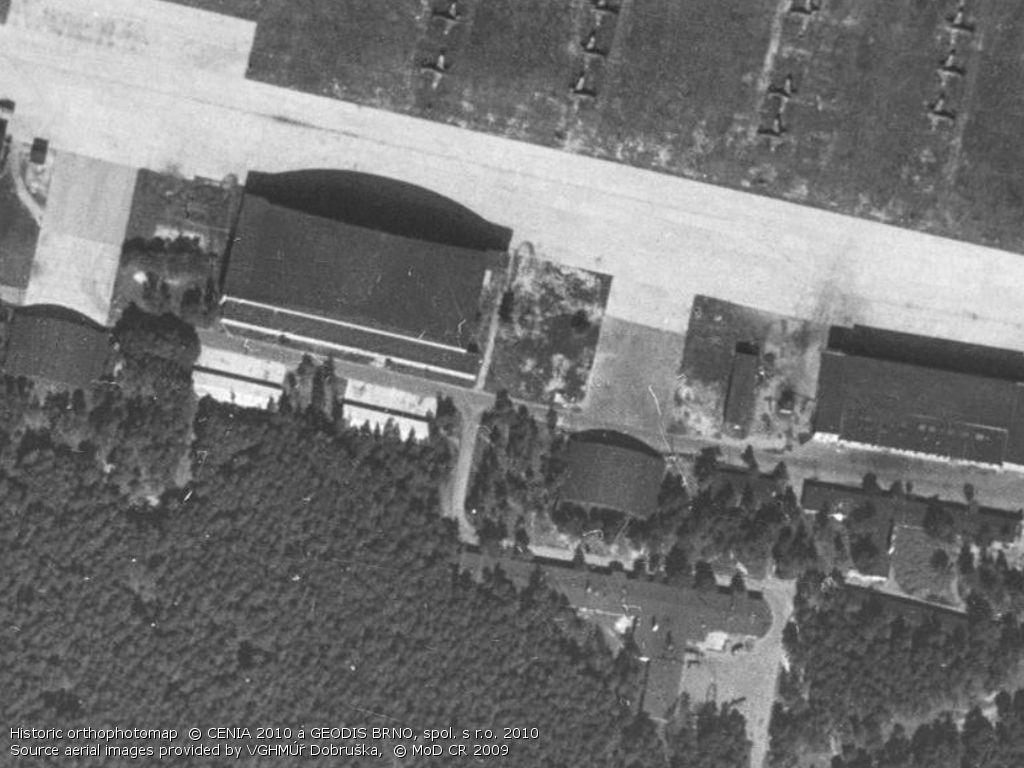
Hangars
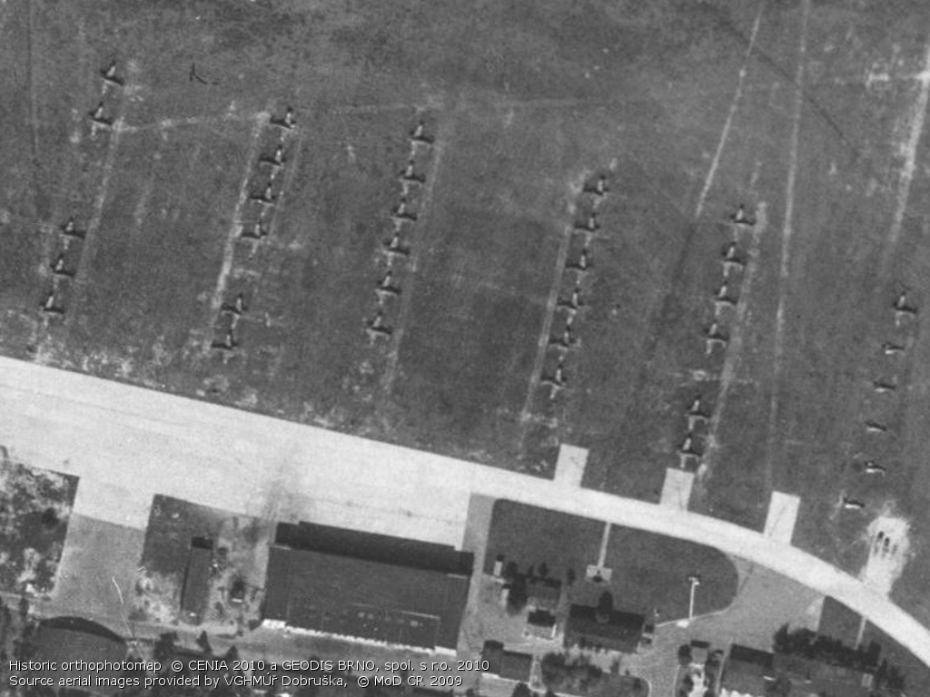
Flugzeuge auf dem Vorfeld
Südöstlicher Teil
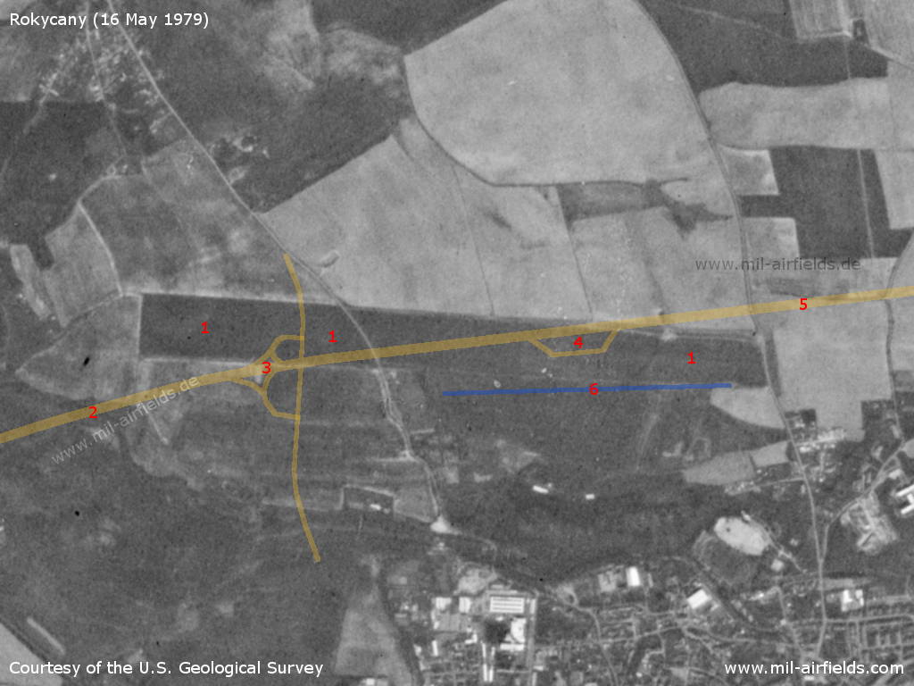
1970er Jahre
Übersicht
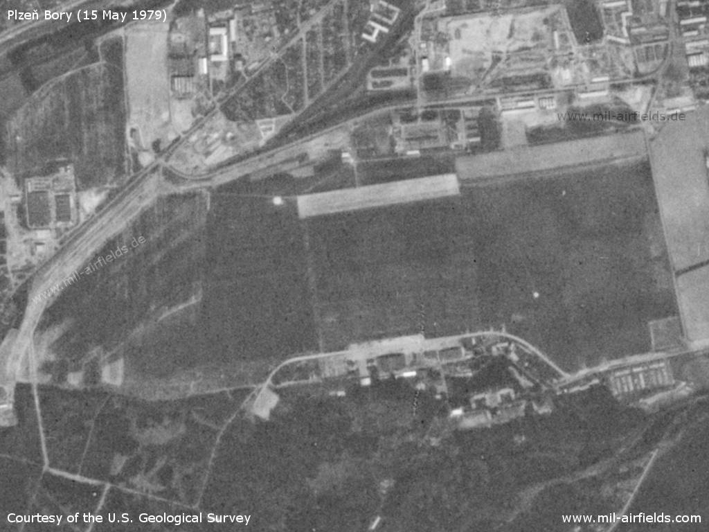
Der Hubschrauberflugplatz Pilsen-Bory auf einem US-Satellitenbild vom 16.05.1979
Quelle: U.S. Geological Survey
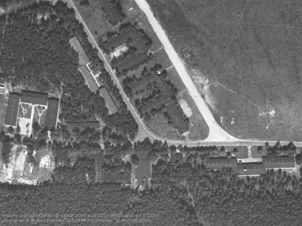
1980er und frühe 1990er Jahre
Flugfunk
Nach westlicher Funkaufklärung wurde der Platz in den CSSR-Luftstreitkräften auch als "Navigacni Punkt 540" bezeichnet (davor "Navigacni Punkt 552").
Das Rufzeichen des Flugplatzes war LOTOS (1990).
Einheiten
11. VRP Mi-24D, V, Mi-17 (1990). Im Jahr 1992 verlegten die Hubschrauber nach Dobrany.
Einrichtungen
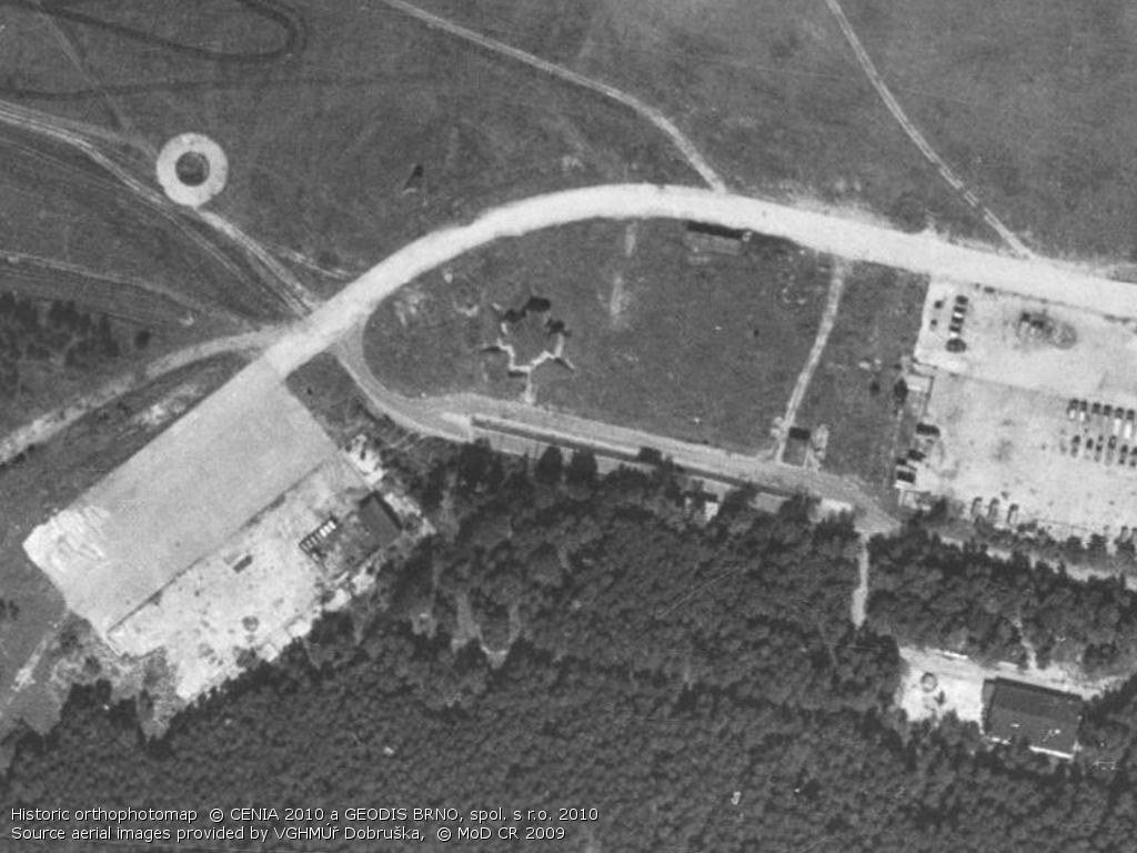
Im Süden befanden sich Hangars, die evtl. noch aus der Zeit von vor 1945 stammen könnten.
Heute
Nutzung
Der Flugplatz ist geschlossen und wurde zu einem Industriegebiet umfunktionioniert.
Bilder
Bilder aus dem Jahr 2016
Das Gelände ist vollständig in ein Gewerbegebiet umgewandelt. Es finden sich nur noch vereinzelte Relikte des ehemaligen Flugplatzes.
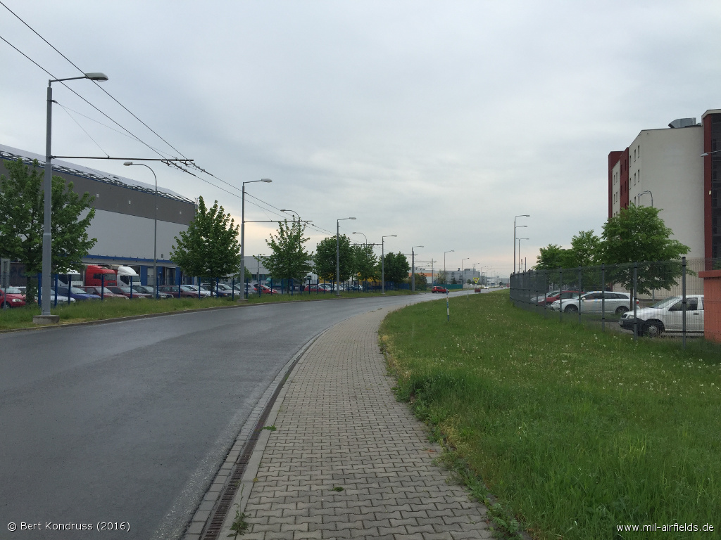
Straße Univerzitni - Der Verlauf dieser Straße entspricht genau dem ehemaligen Rollweg
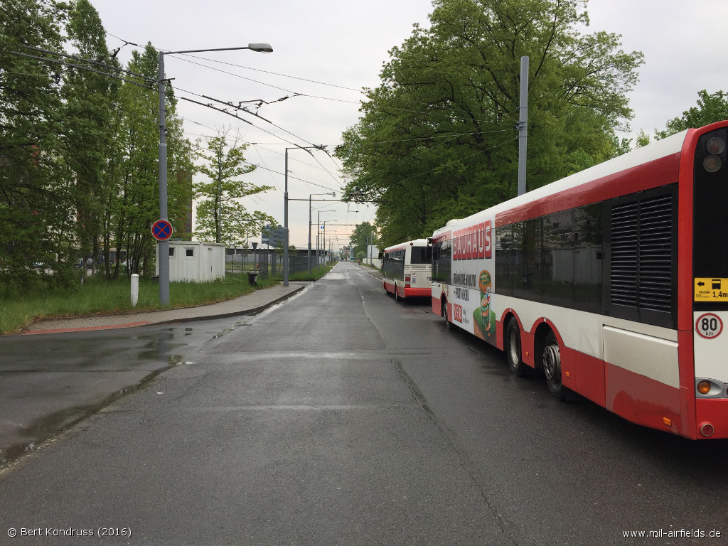
Straße Teslova - Diese Straße führte auf dem Flugplatz an der Rückseite der großen Hangars vorbei.
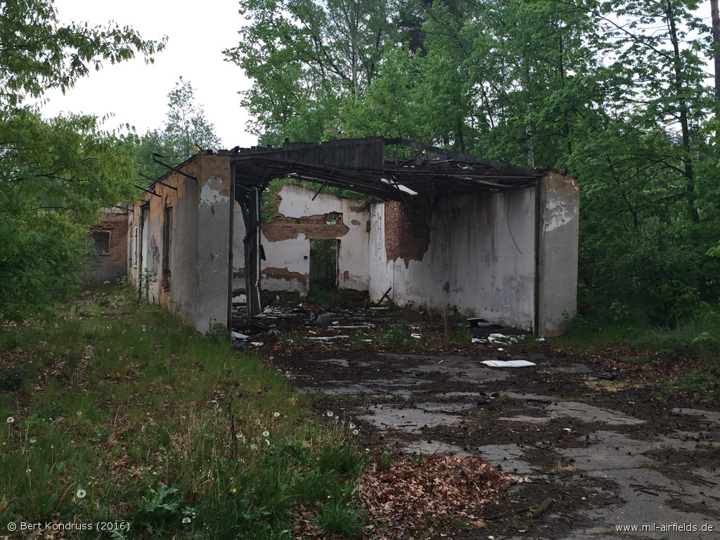
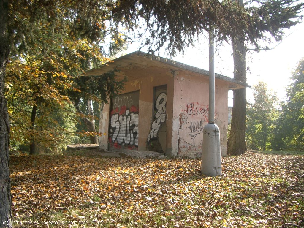
Historisches Gebäude? - Diese Ruine steht an der Südseite der Straße "Teslova"
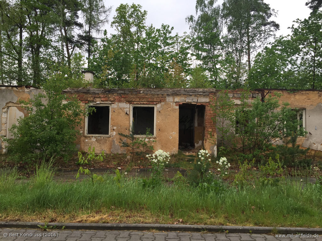
Historisches Gebäude? - Das Gebäude muss sich an der Rückseite des größten Hangars befunden haben
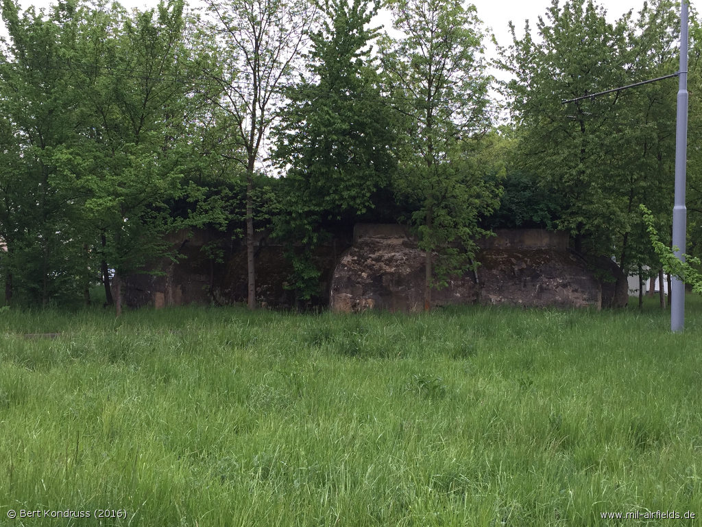
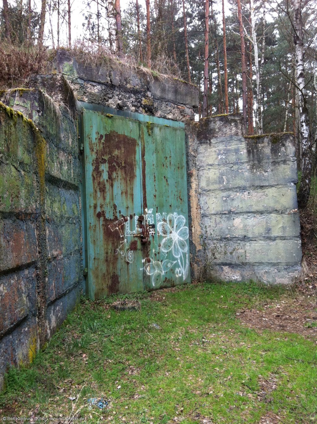
Bunker - Am Westende der Univerzitni
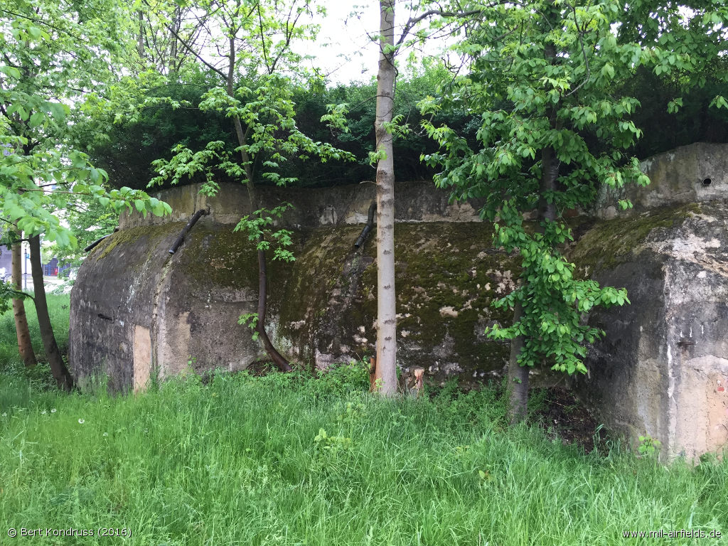
Bunker
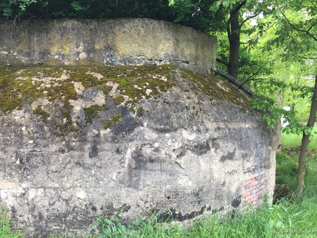
Bunker
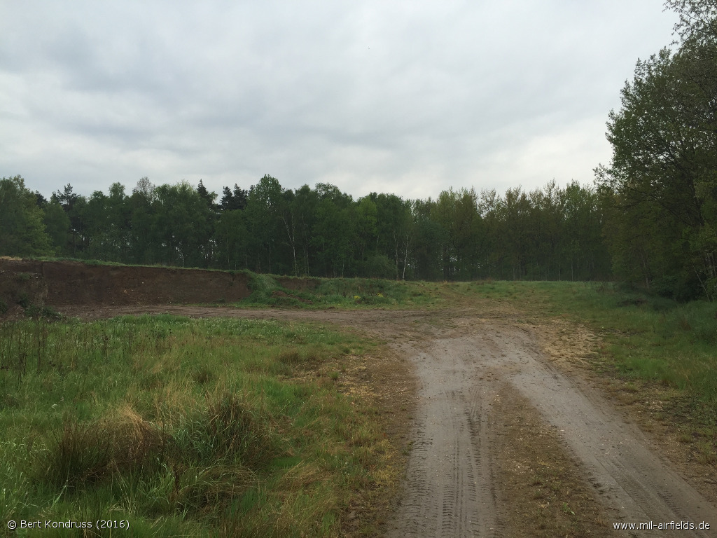
Fläche am Westende der Univerzitni
Quellen
- https://www.usgs.gov/ - USGS: U.S. Geological Survey
Links
- http://www.vrtulnik.cz/ww2/protektorat-plzen2.htm - Letiště Bory
Flugplätze in der Umgebung
- 216°/8km Líně: Flugplatz (Dobřany Líně, Plzeň)
- 223°/15km Stod: Flugplatz
- 082°/18km Rokycany: Flugplatz
- 290°/23km Erpužice: Flugplatz (Stříbro)
- 026°/31km Kralovice: Flugplatz (Kožlany)
Kategorien
Militärflugplätze TschechienEmpfohlen
Bildquellen sind auf der jeweiligen Zielseite angegeben, klicke auf die Vorschau um sie zu öffnen.
 Folge mil-airfields auf Facebook