For historical information only, do not use for navigation or aviation purposes!
| Coordinates | N495053 E0135337 (WGS84) Google Maps |
| Elevation | 1214 ft |
| Location indicator | LKHV |
The history of the Cold War airfields: Hořovice
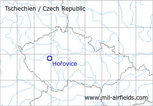
Location of airfield
North of Horovice.
During the Cold War
Use
Reserve airfield.
Situation
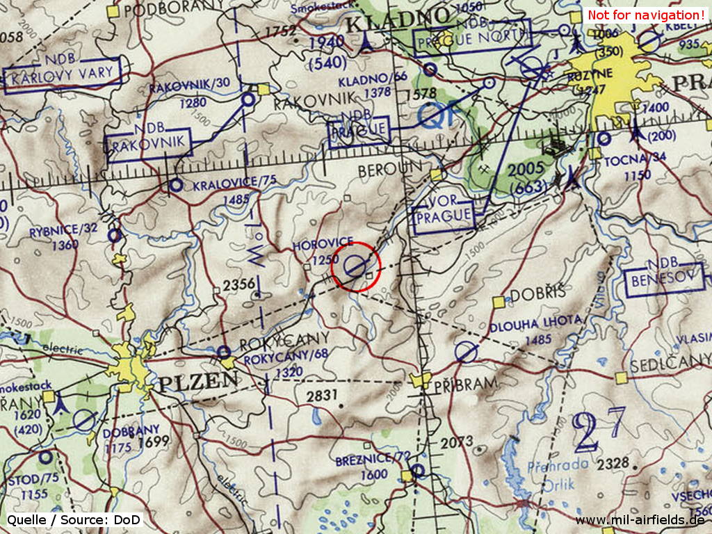
Overview
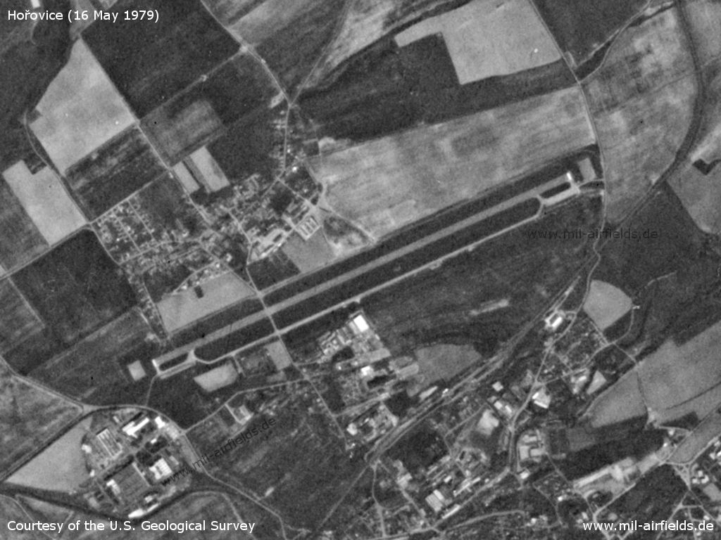
Hořovice Airfield on a US satellite image from 16 May 1979
Source: U.S. Geological Survey
Runways
Data for the year 1990:
- 07/25: 2200 m Asphalt
Radio communication
Call sign: "POHYB" (1990)
According to western signals intelligence (SIGINT), the airfield was also called "Navigacni Punkt 570" by the Czechoslovak Air Force (earlier: "Navigacni Punkt 556").
Installations
Simple layout with runway and parallel taxiway.
Today
Use
General aviation.
Airfields in the vicinity
- 134°/21km Přibram: Airfield: Dlouhá Lhota (Letiště Přibram, Pribram)
- 245°/25km Rokycany: Airfield (Letiště Rokycany)
- 300°/30km Kralovice: Airfield (Letiště Kralovice, Kožlany)
- 168°/32km Březnice: Airfield (Letiště Březnice)
- 025°/33km Kladno: Airfield (Letiště Kladno)
- 043°/38km Praha: Ruzyně Airport (Letiště Praha Ruzyně, Prague Ruzyně)
 Follow mil-airfields on Facebook