For historical information only, do not use for navigation or aviation purposes!
| Coordinates | N501822 E0135603 (WGS84) Google Maps |
| Elevation | 1213 ft |
| Location indicator | LKPC |
The history of the Cold War airfields: Panenský Týnec
During the Cold War
Use
Reserve airfield.
Situation
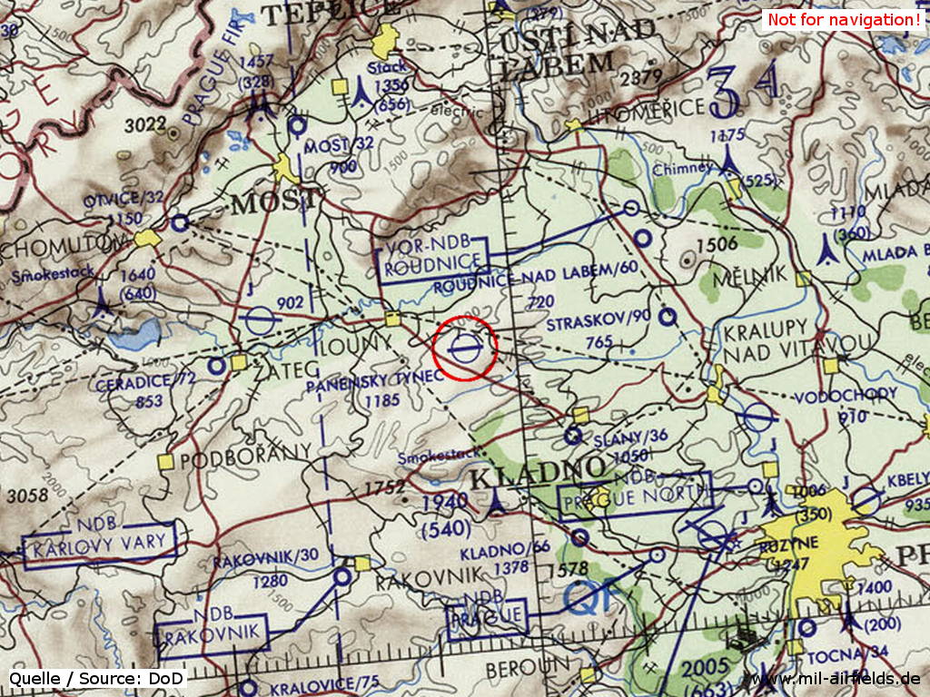
Panenský Týnec Airfield on a map of the US Department of Defense from 1973
Source: ONC E-3 (1973), Perry-Castañeda Library Map Collection, University of Texas at Austin
Overview
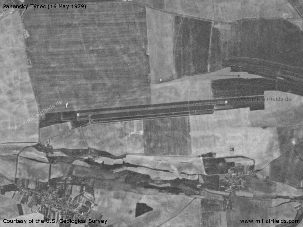
Panenský Týnec Airfield on a US satellite image from 16 May 1979
Source: U.S. Geological Survey
Runways
- 09/27: 2500 m x 30 m
Radio communication
The call sign of the airfield was KRAWATA (1990)
According to western signals intelligence (SIGINT), the airfield was also called "Navigacni Punkt 470" by the Czechoslovak Air Force (previously: "Navigacni Punkt 497").
Installations
Simple layout with runway, parallel taxiway and 2 ramps at each end.
Today
Use
General aviation.
 Follow mil-airfields on Facebook