For historical information only, do not use for navigation or aviation purposes!
| Coordinates | N494025 E0131615 (WGS84) Google Maps |
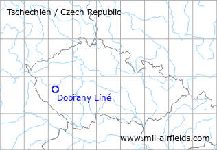
The history of the Cold War airfields: Líně
During World War II
Usage until 1945
Dobrzan airfield.
During the Cold War
Use
Czechoslovak Air Force base.
Installations
A special feature of this air base was a remote dispersal area with shelters and own runway. This dispersal area was located about 2 km northeast of the actual airfield. It was connected by a taxiway, leading on a bridge over the highway.
In the 1970s
Situation
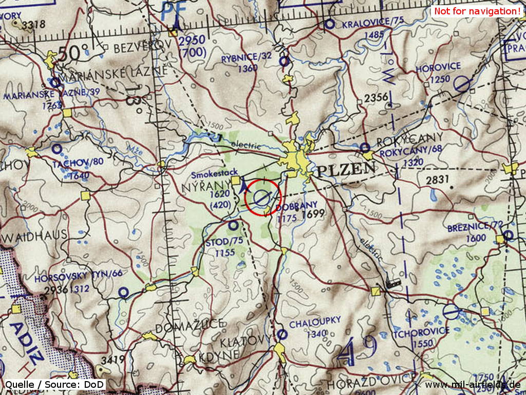
Dobřany Líně Air Base on a map of the US Department of Defense from 1972
Source: ONC E-2 (1972), Perry-Castañeda Library Map Collection, University of Texas at Austin
Overview
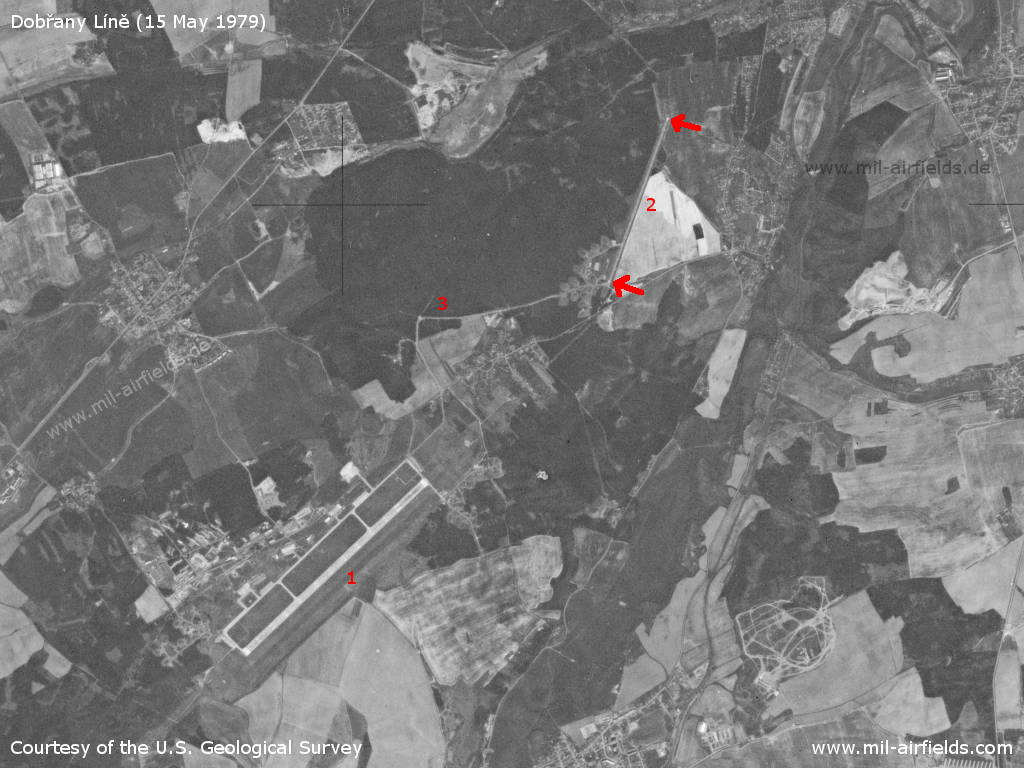
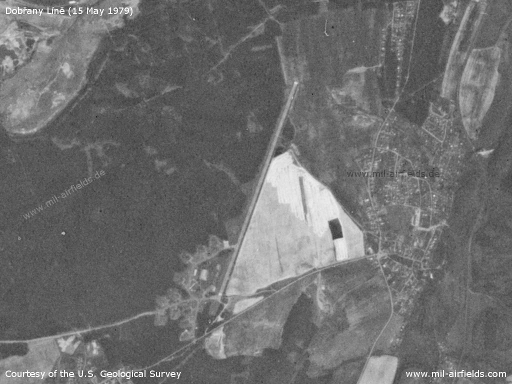
Dobřany Líně Air Base on a US satellite image from 16 May 1979 - 1=airfield, 2=remote dispersal area with runway, 3=taxiway. At that time there was no motorway.
Source: U.S. Geological Survey
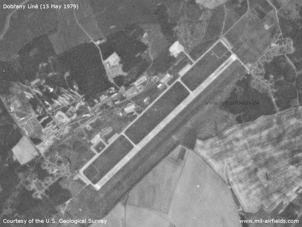
Airfield
Source: U.S. Geological Survey
Remote dispersal area and emergency runway
Source: U.S. Geological Survey
In the 1980s and early 1990s
Runways
- 06/24: 2300 m x 60 m
- 03/21: 1400 m x 20 m Emergency take-off runway, about 2 km northeast of the airfield.
Radio beacons
Data for the 1980s:
- LOM: 822 "DR"
- LMM: 398 "D"
Radio communication
The call sign of the airfield was DETEKTOR.
According to western signals intelligence (SIGINT), the airfield was also called "Navigacni Punkt 550" by the Czechoslovak Air Force.
Units
5 SLP with MiG-21, L-29, L-39; VZLU with MiG-21 (1990).
Today
Images
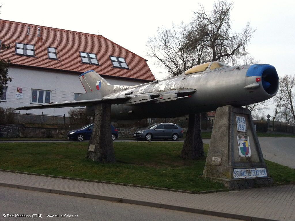
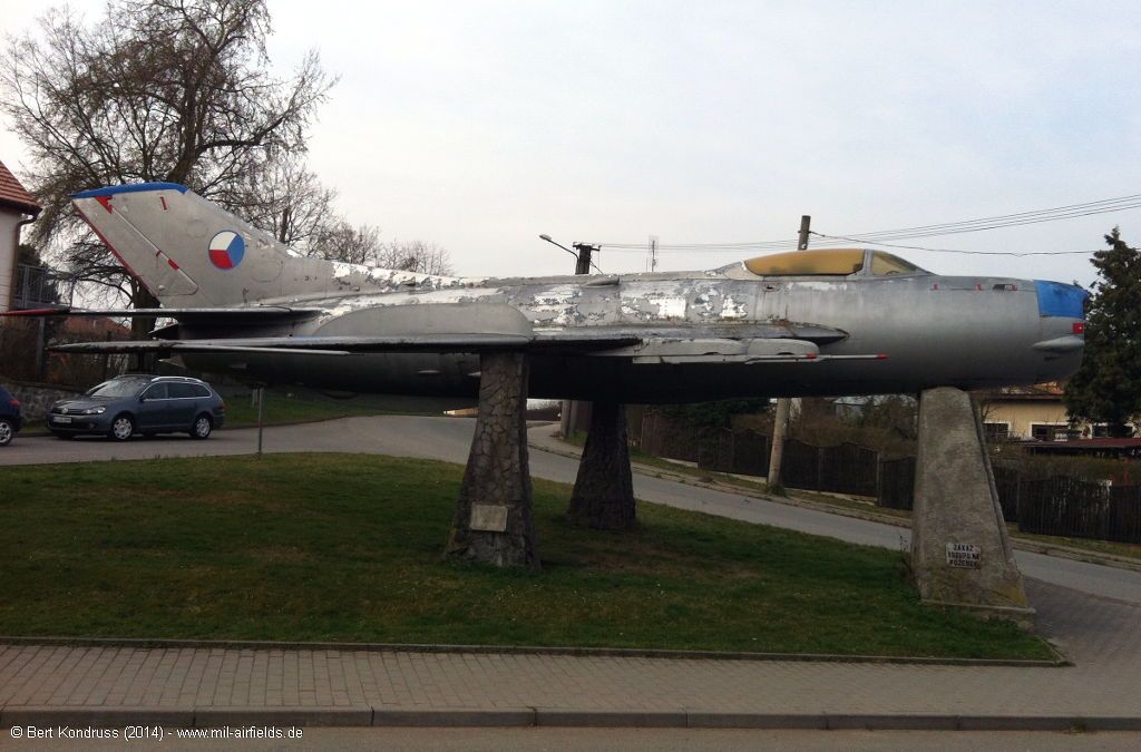
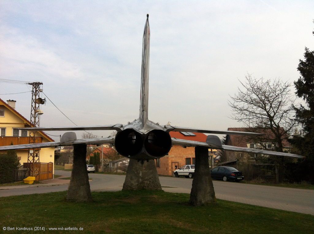
Memorial in Líně: Památník vojenských letců (2014)
his MiG-19 is located in the vilage of Líně north of the air base.
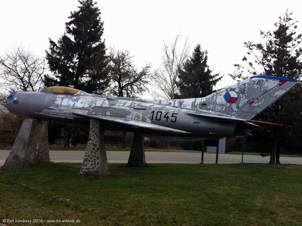
MiG-19 "1045" of the Czechoslovak Air Force in Líně
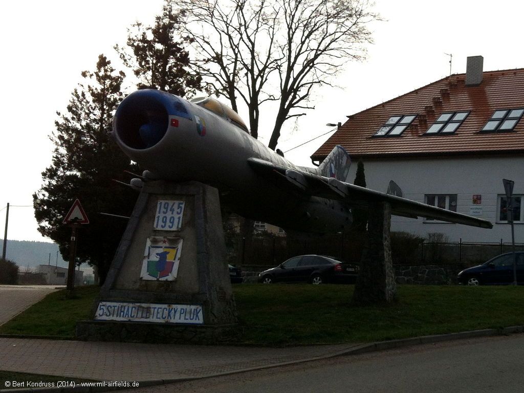
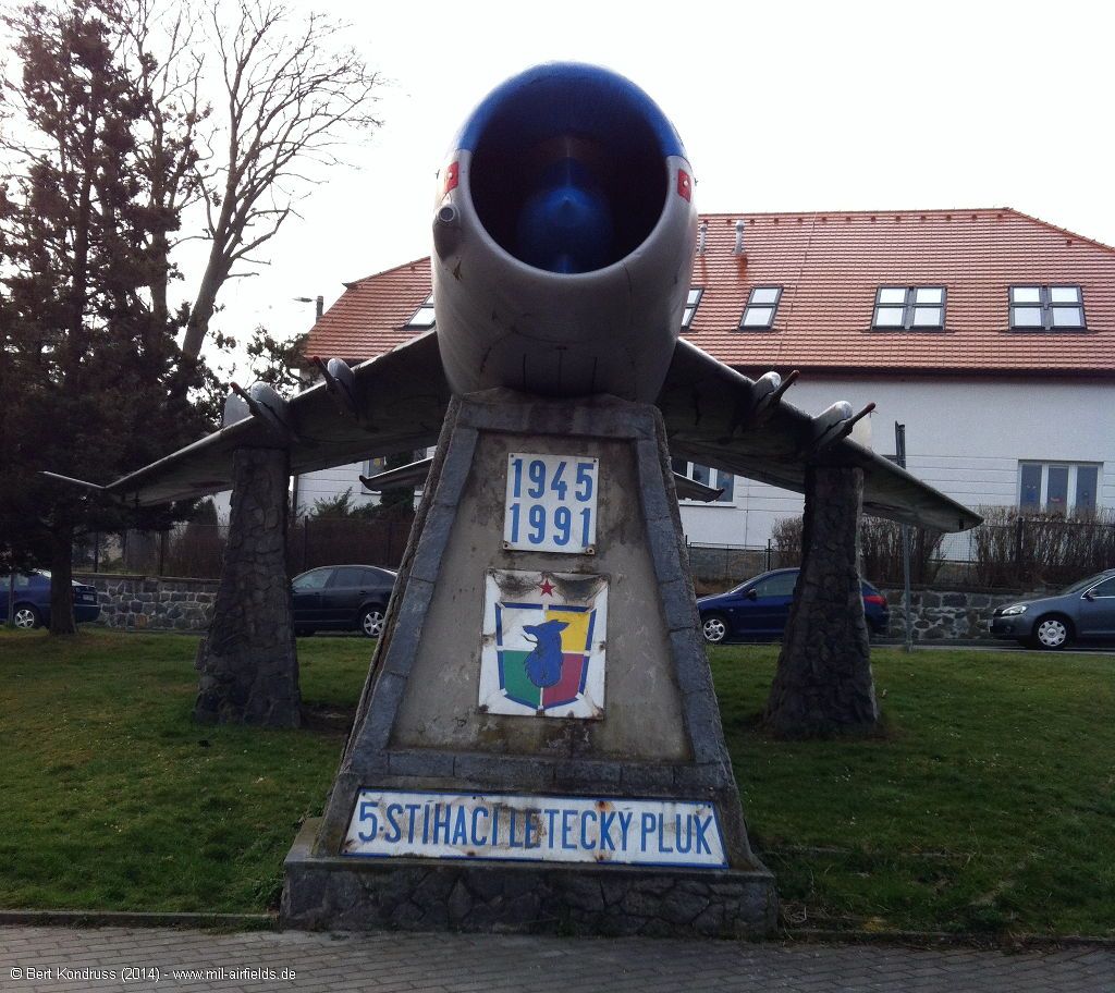
5.stíhací letecký pluk (5th Fighter Regiment)
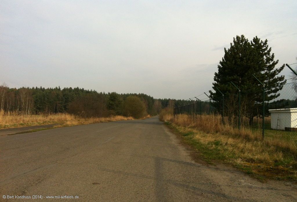
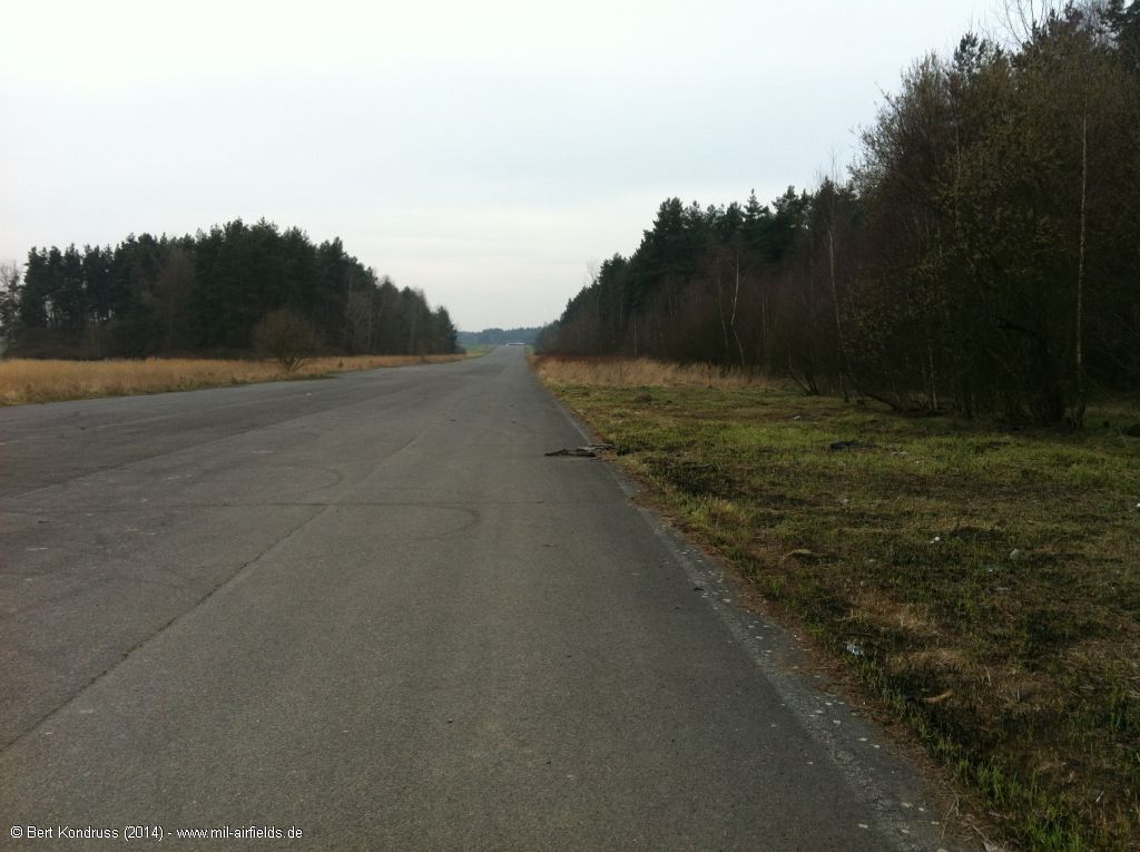
Taxiway from the air base to the dispersal area (2014)
A 1.5 km long taxiway leads from the air base to the dispersal area on the east side of the motorway.
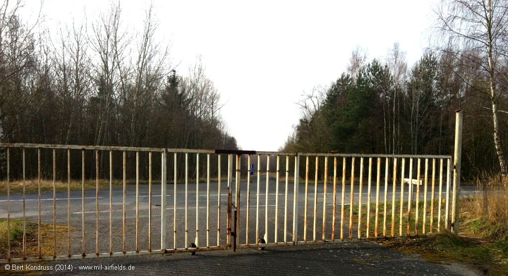
Gate for the taxiway in the northeastern corner of the air base
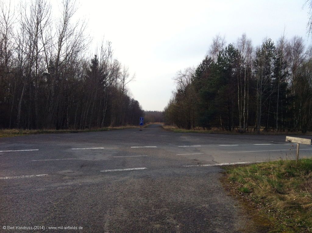
Taxiway at the airfield
First, the taxiway runs in direction north-northwest
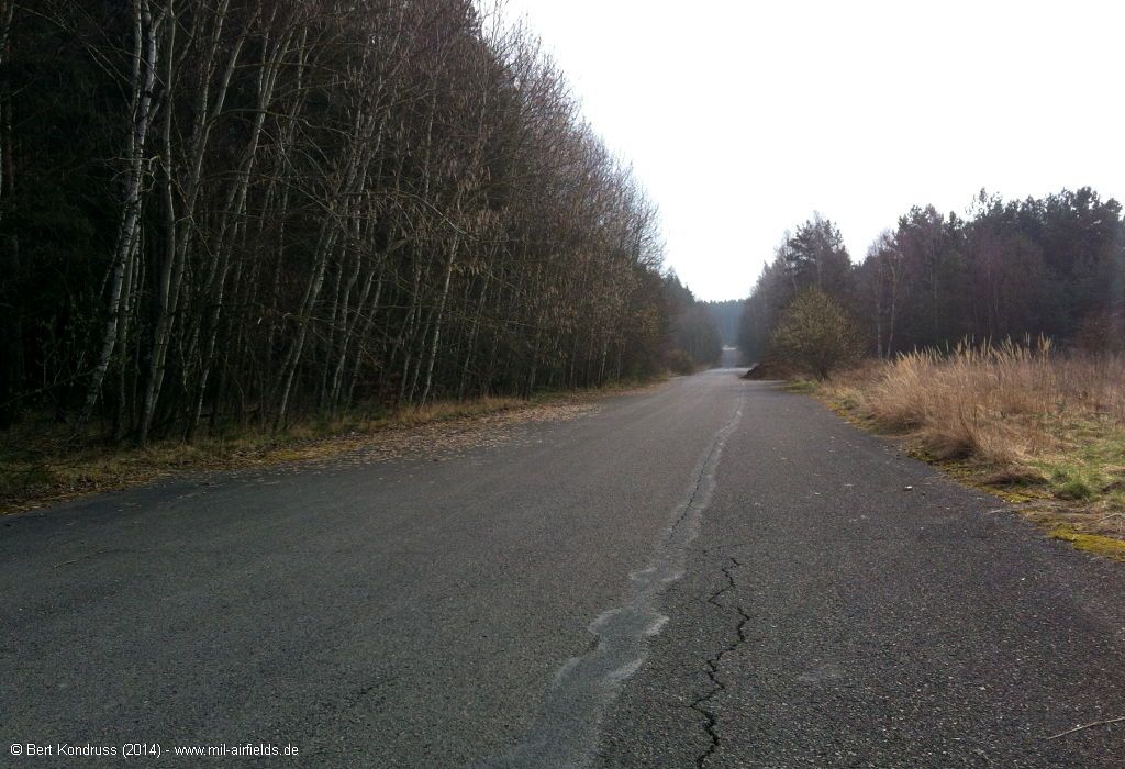
Continue in an easterly direction to the motorway
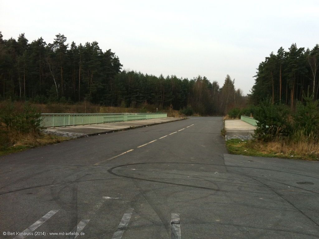
Motorway bridge
Closed ramp down to the highway
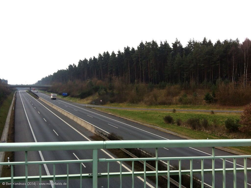
Highway D5 direction Praha
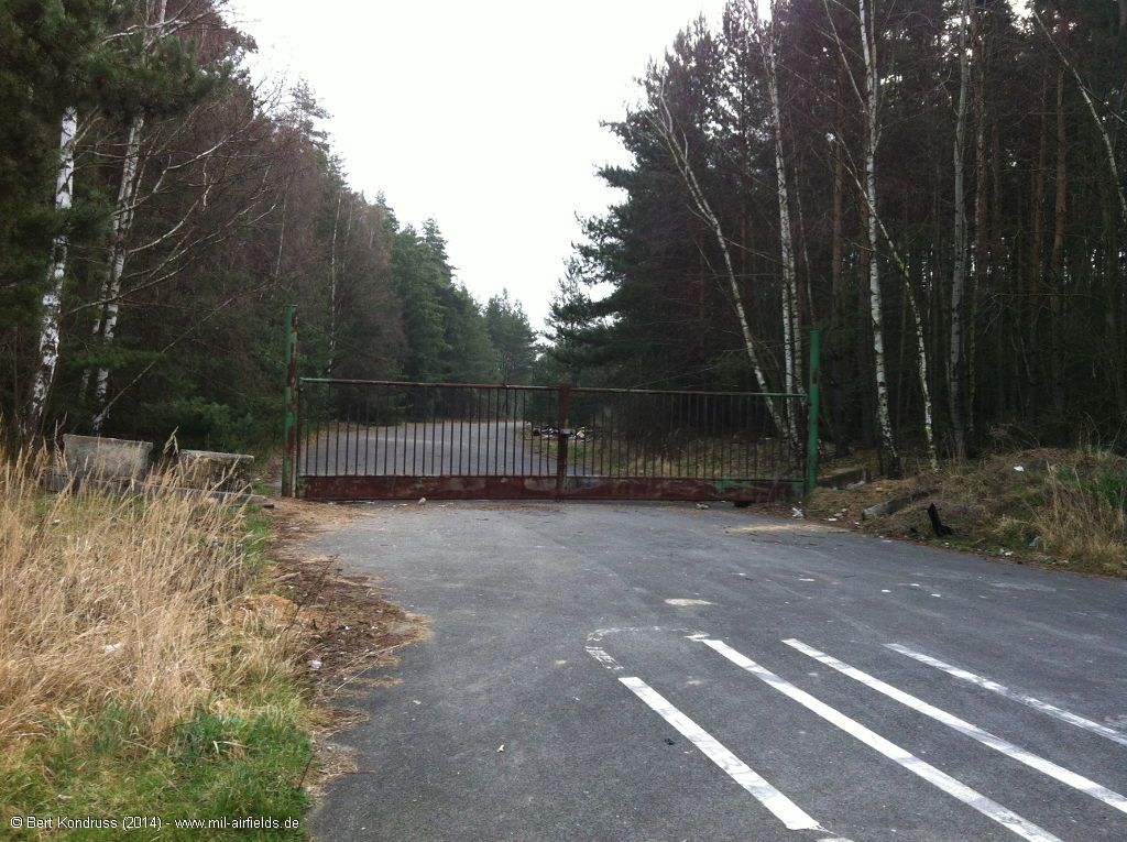
Gate to the decentralisation area on the other side of the motorway
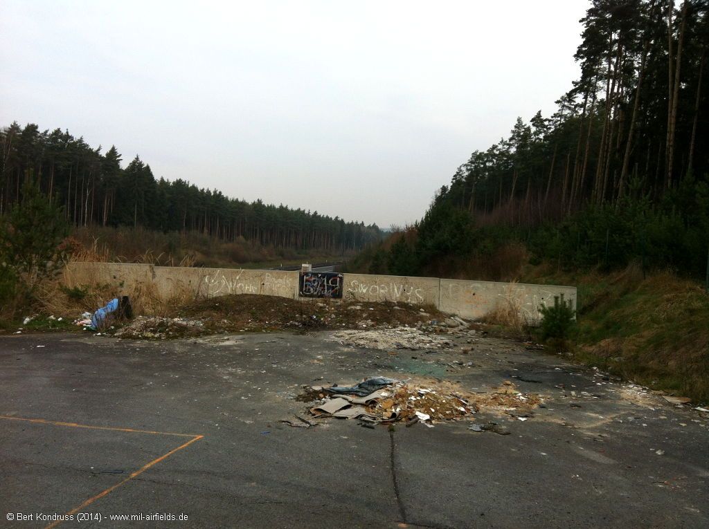
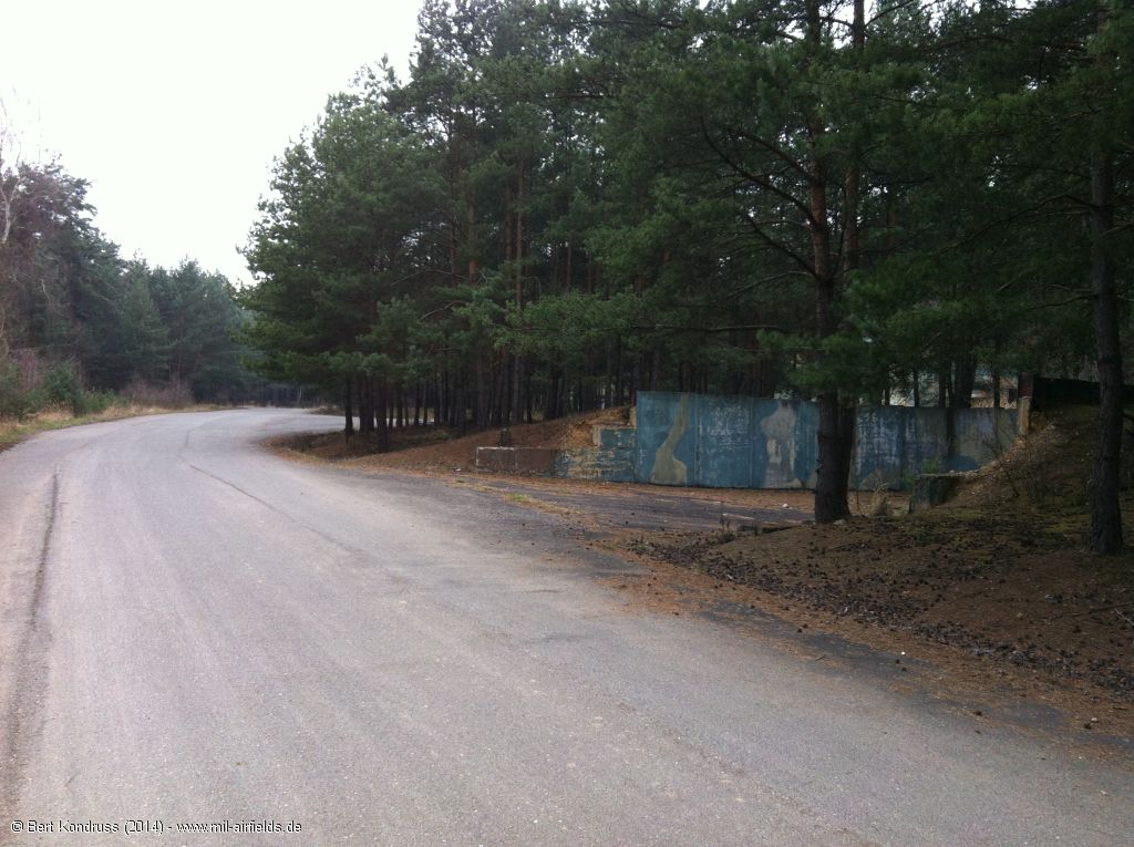
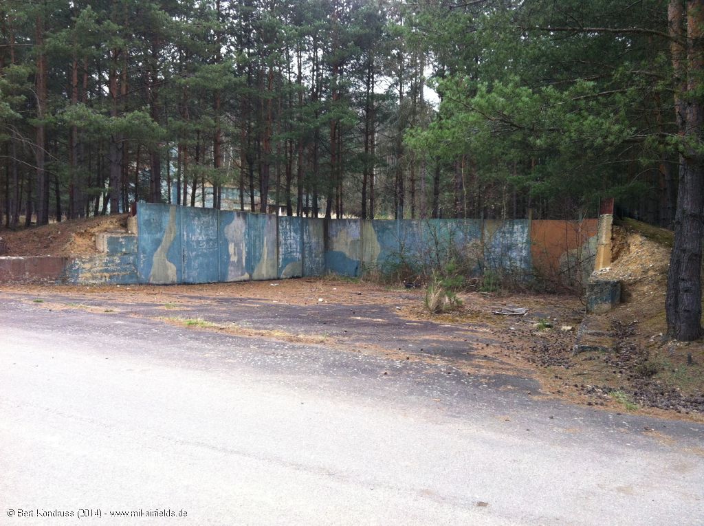
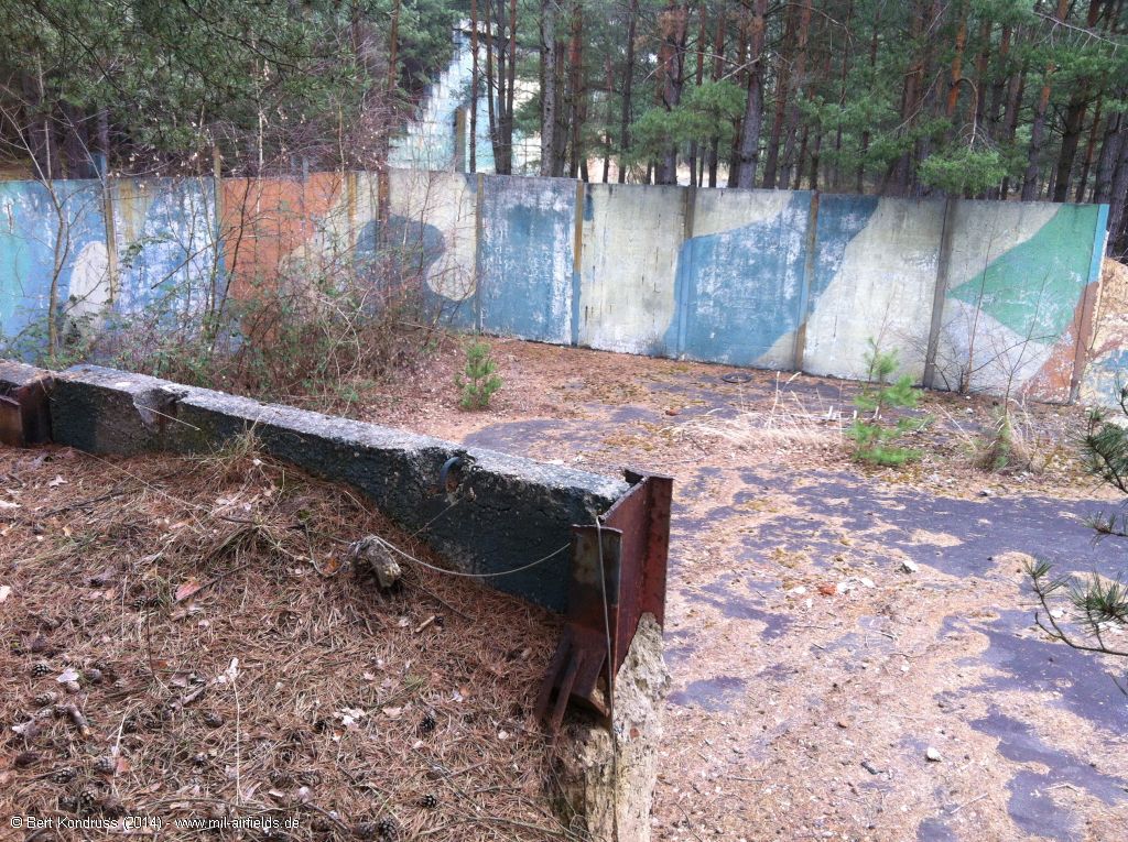
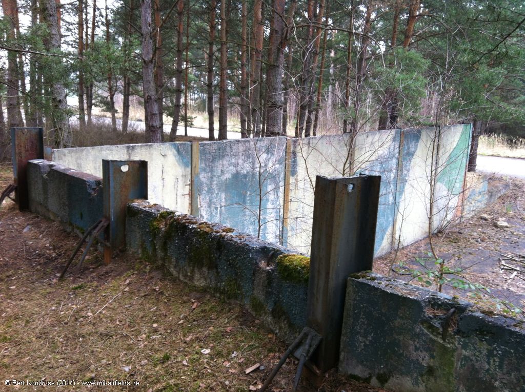
Dispersal area east of highway D5 (2014)
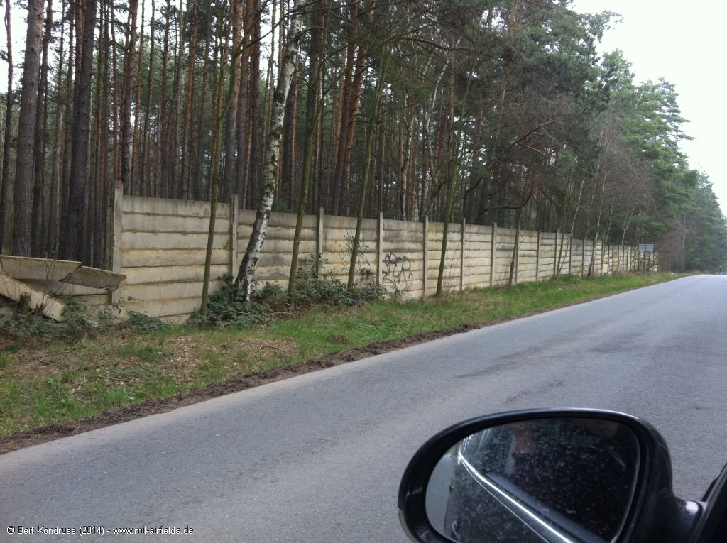
Wall along the road between Nová Ves u Plzně and Plzeň 10-Lhota
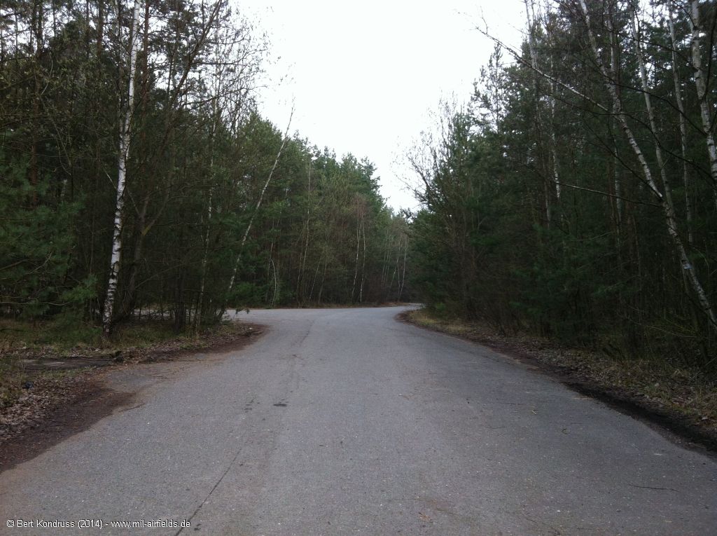
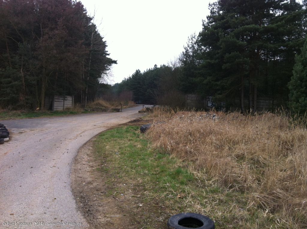
Taxiways
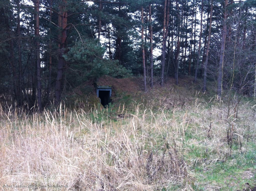
Small bunker
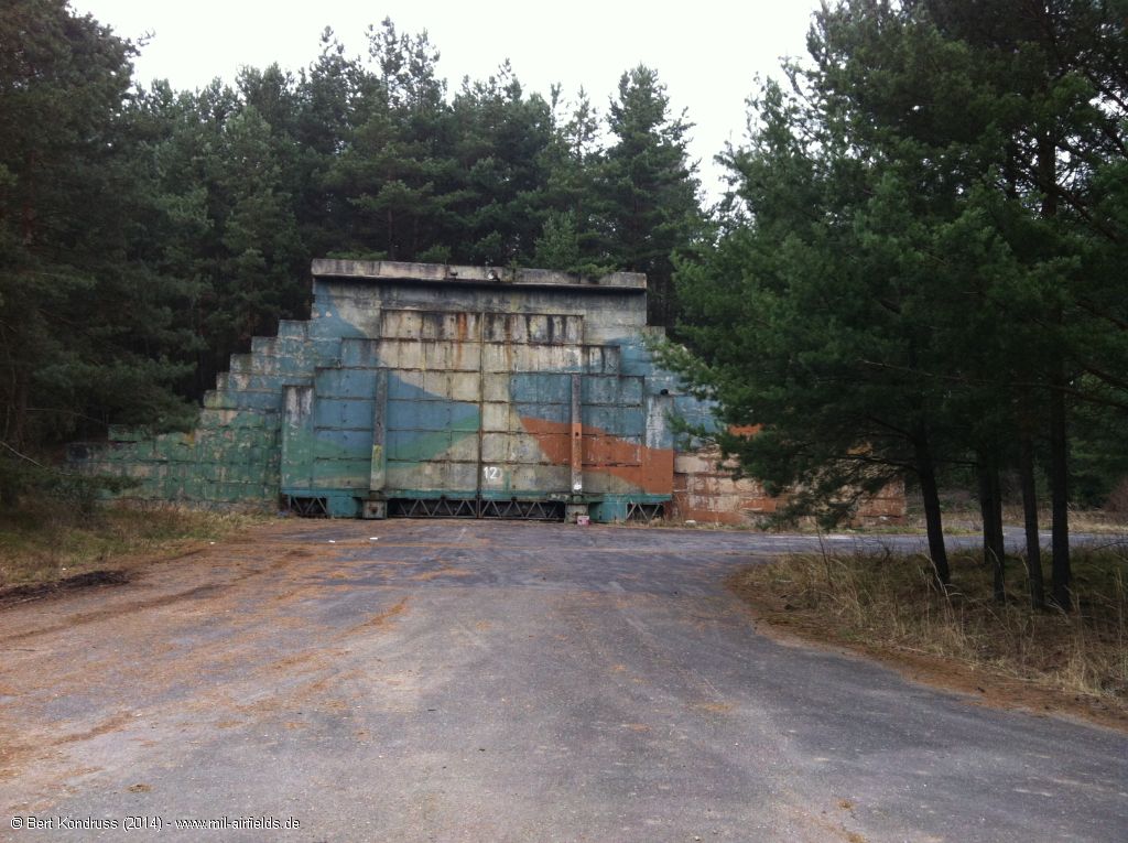
Hardened aircraft shelter
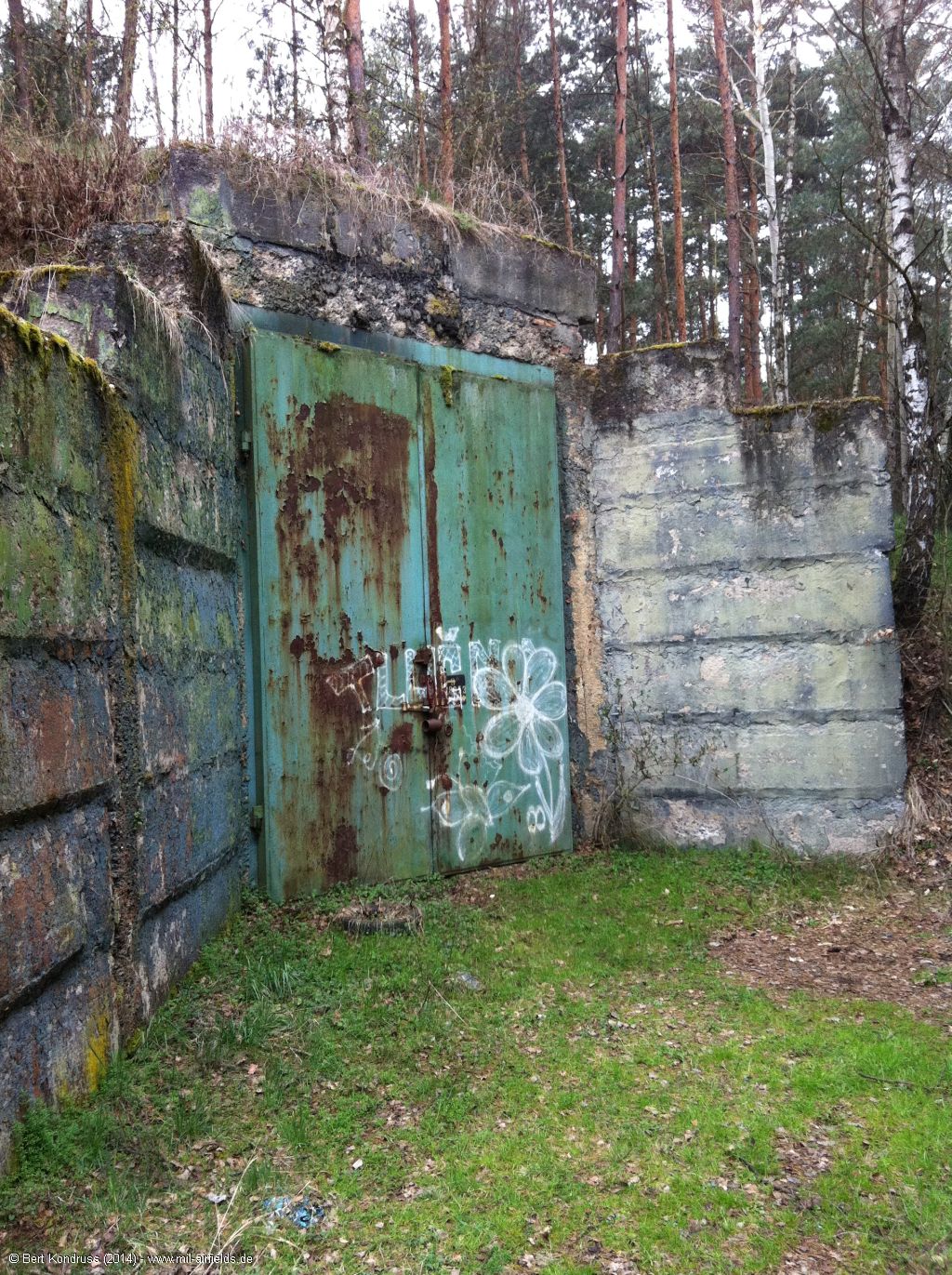
Door
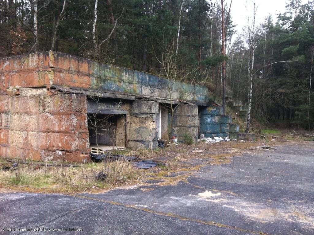
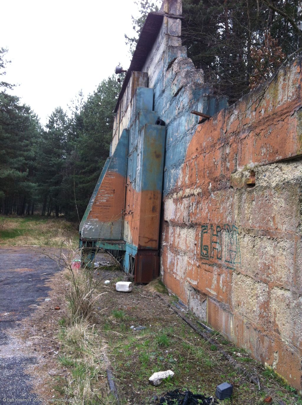
Side of the shelter
Back
Taxiways
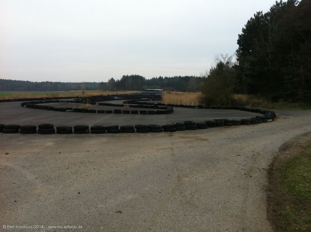
Aircraft revetment
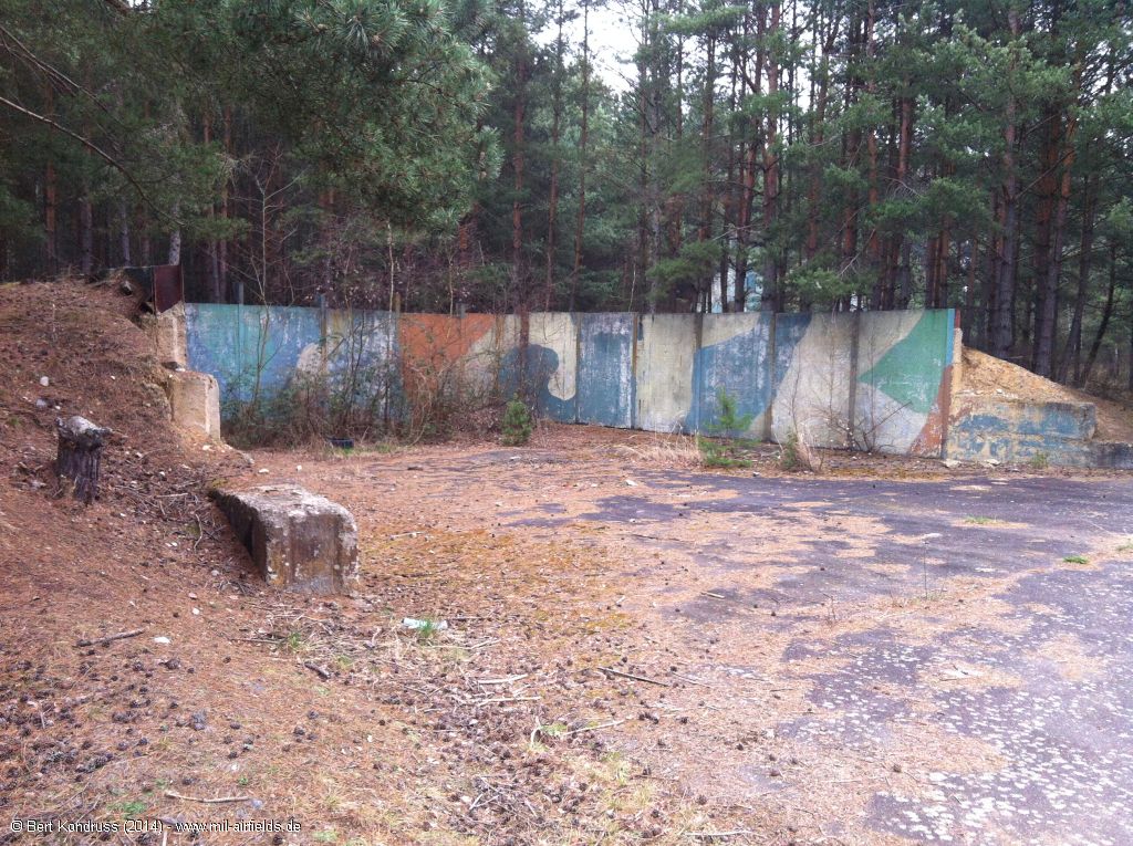
Flight line with blast fence
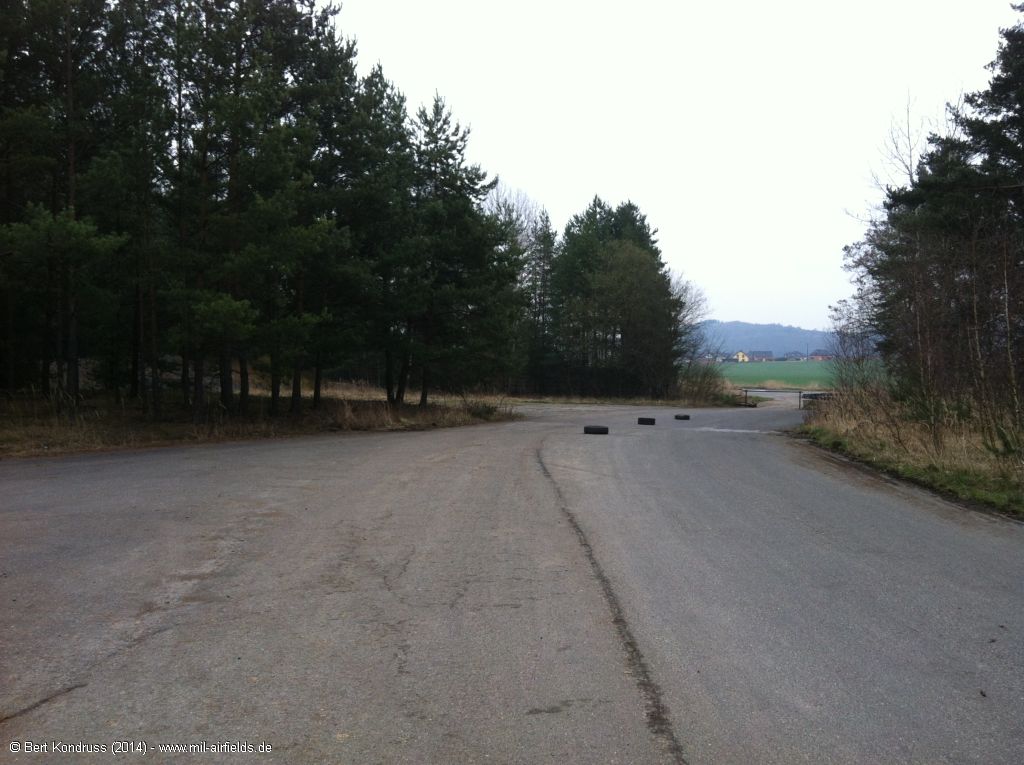
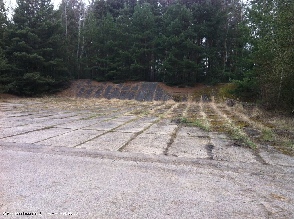
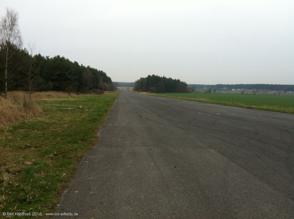
Taxiway to the emergency runway
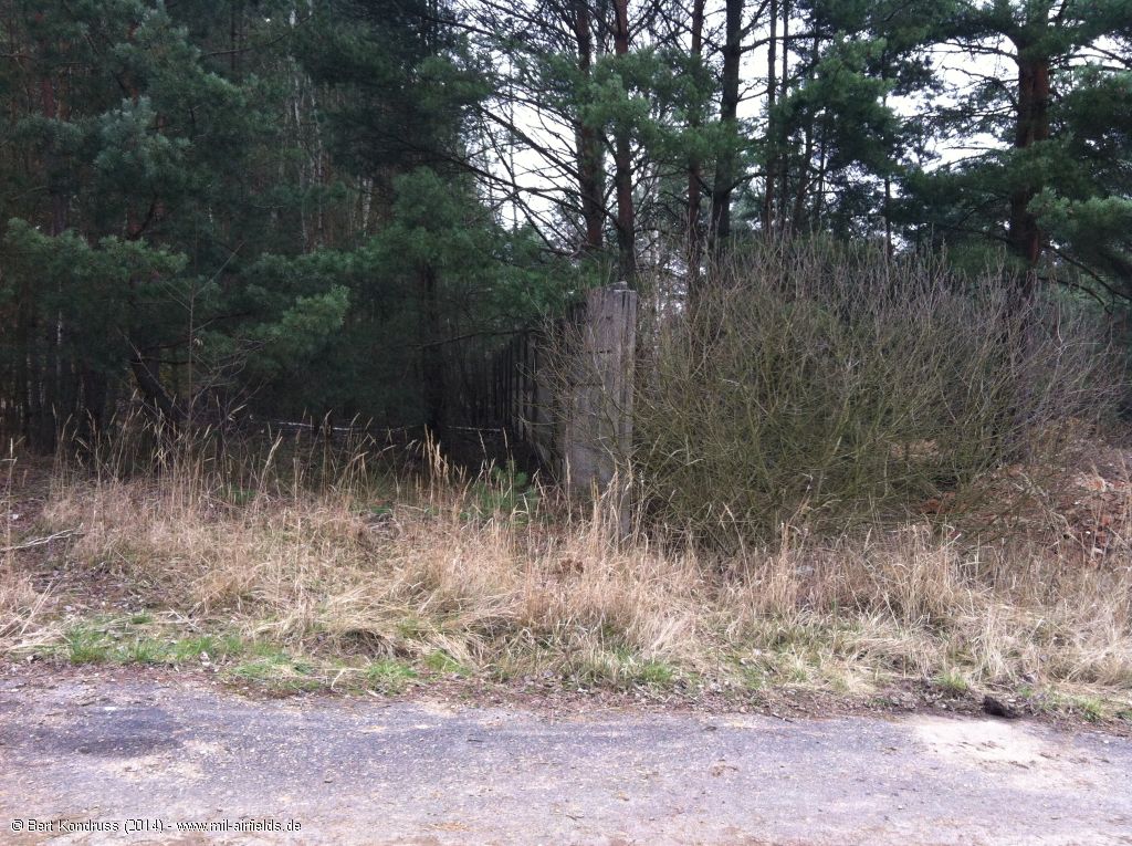
Wall
View back from the emergency runway to the shelter area
View in southwest direction to the remaining part of the runway
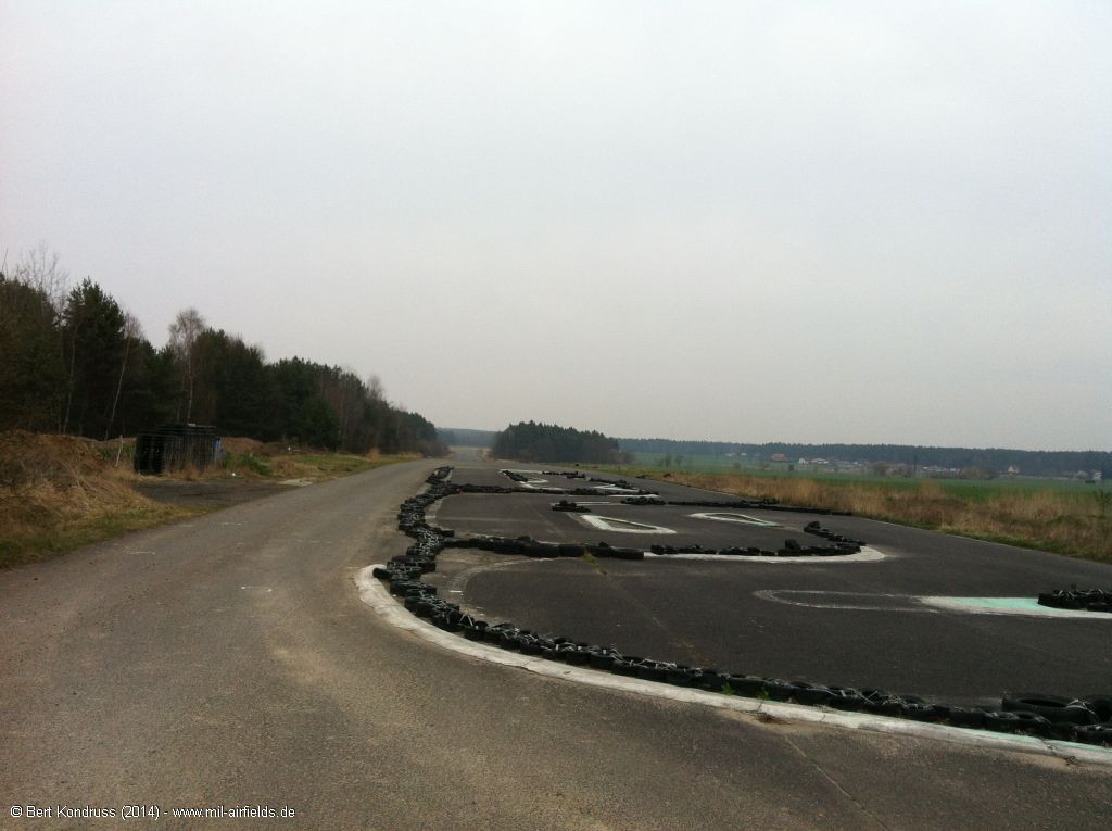
Viewing northeast to the emergency runway
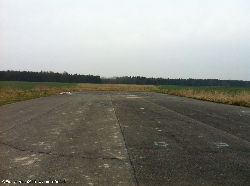
Northeastern end
View back to the southwest
Further examples for air bases with a remote dispersal area:
Cerklje (Slovenia)
Brand (Germany)
Welzow (Germany)
Templin (Germany)
Žatec (Czechia)
Kuçova (Albania)
Cerklje (Slovenia)
Brand (Germany)
Welzow (Germany)
Templin (Germany)
Žatec (Czechia)
Kuçova (Albania)
Sources
- https://www.usgs.gov/ - USGS U.S. Geological Survey
- https://legacy.lib.utexas.edu/maps/ - Perry-Castañeda Library Map Collection
Airfields in the vicinity
- 232°/7km Stod: Airfield (Letiště Stod)
- 036°/8km Plzeň: Bory Airfield (Letiště Plzeň, Pilsen)
- 310°/23km Erpužice: Airfield (Letiště Erpužice, Stříbro)
- 068°/24km Rokycany: Airfield (Letiště Rokycany)
- 238°/33km Horšovský Týn: Airfield (Letiště Horšovský Týn)
- 028°/39km Kralovice: Airfield (Letiště Kralovice, Kožlany)
Categories
Air Bases CzechiaRecommended
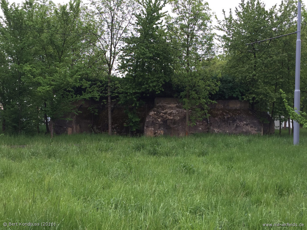
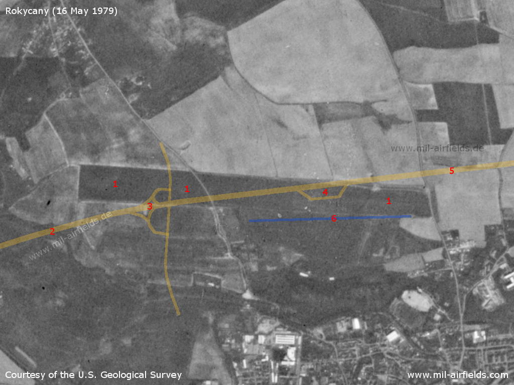
Image credits are shown on the respective target page, click on the preview to open it.
 Follow mil-airfields on Facebook