For historical information only, do not use for navigation or aviation purposes!
| Coordinates | N492619 E0143716 (WGS84) Google Maps |
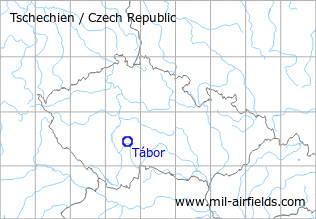
The history of the Cold War airfields: Tábor
During the Cold War
Use
Reserve airfield.
Situation
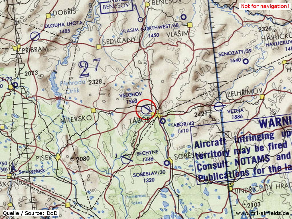
Tábor Airfield on a map of the US Department of Defense from 1973
Source: ONC E-3 (1973), Perry-Castañeda Library Map Collection, University of Texas at Austin
Runways
- 13/31: 2000 m x 30 m
Radio communication
The call sign of the airfield was STOJAN (1990).
According to western signals intelligence (SIGINT), the airfield was also called "Navigacni Punkt 810" by the Czechoslovak Air Force.
Installations
Simple layout with runway and parallel taxiway.
Today
Use
Airfield.
Airfields in the vicinity
- 205°/20km Bechyně: Air Base (Letiště Bechyně)
- 095°/27km Věžná: Airfield (Letiště Věžná)
 Follow mil-airfields on Facebook