For historical information only, do not use for navigation or aviation purposes!
| Coordinates | N502216 E0133520 (WGS84) Google Maps |
| Elevation | 273 m |
| Location indicator | LKZC |
The history of the Cold War airfields: Žatec
During the Cold War
Use
Czechoslovak Air Force base.
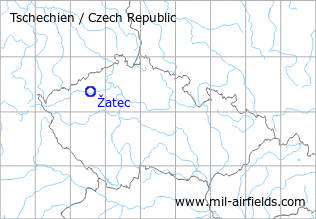
Situation
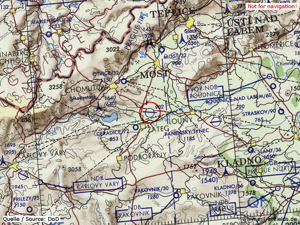
Žatec Air Base on a map of the US Department of Defense from 1973
Source: ONC E-3 (1973), Perry-Castañeda Library Map Collection, University of Texas at Austin
Overview
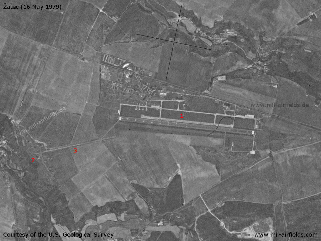
Žatec Air Base on a US satellite image from 16 May 1979 - 1: Airfield with runway, 2: remote dispersal area, 3: emergency runway
Source: U.S. Geological Survey
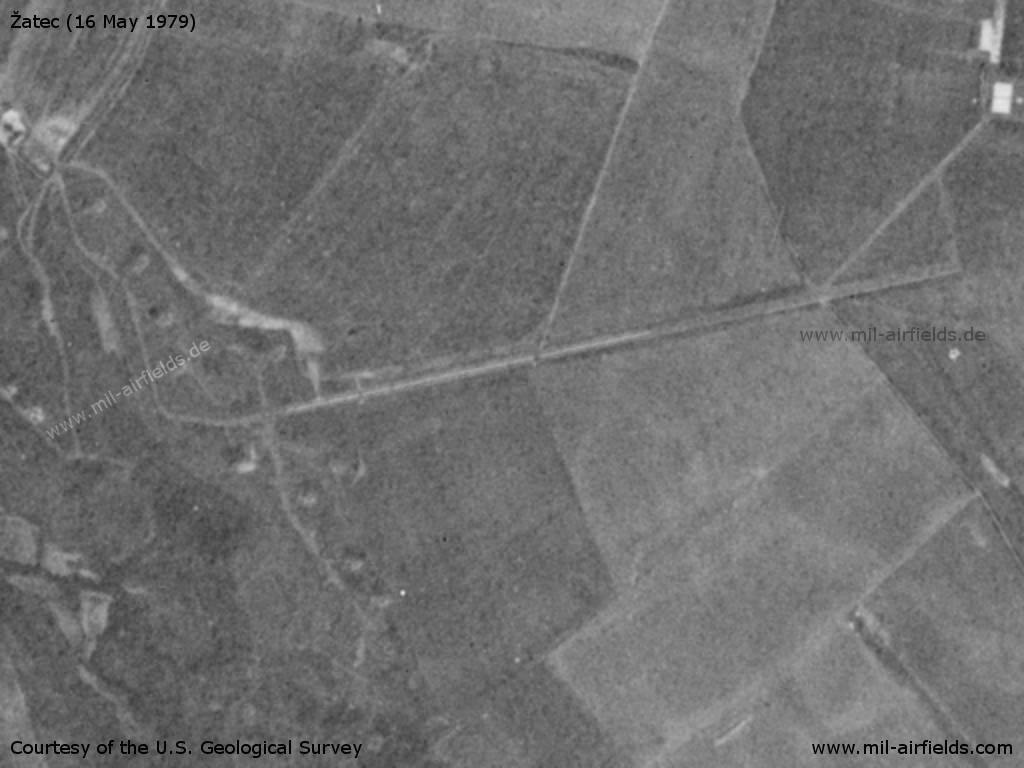
Remote dispersal area with shelter in the southwest
Source: U.S. Geological Survey
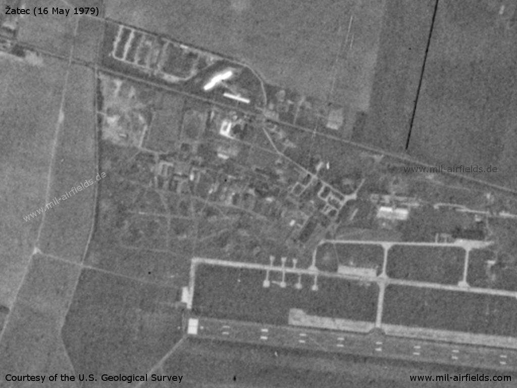
Northwestern part with barracks
Source: U.S. Geological Survey
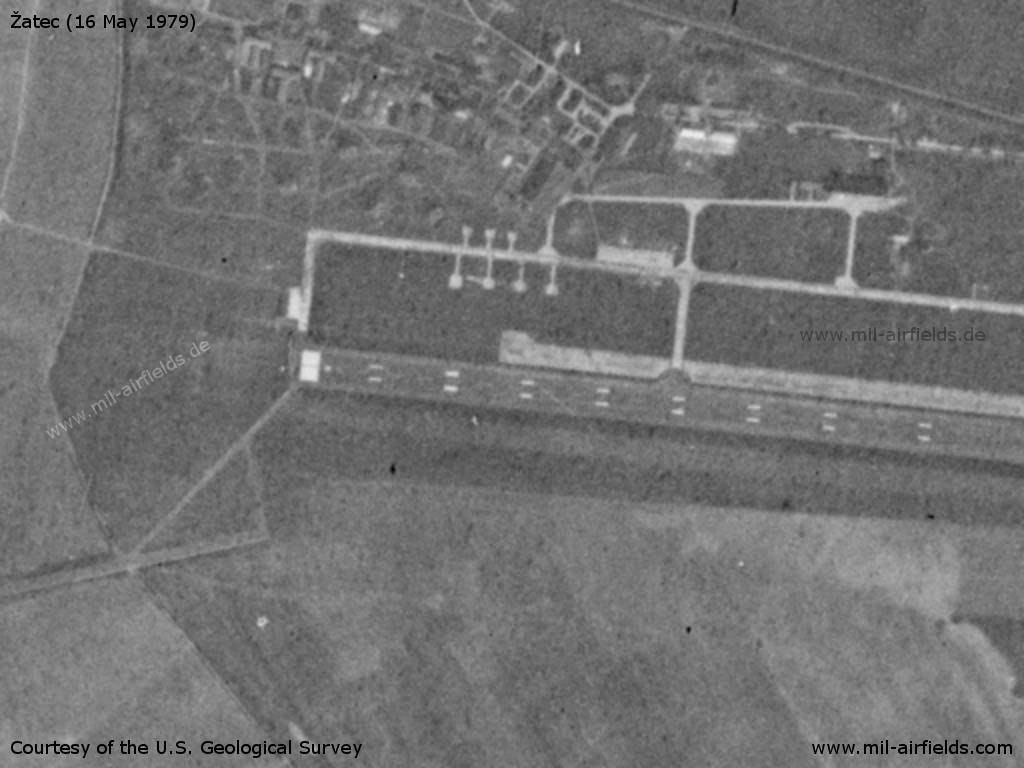
Western part of the runway
Source: U.S. Geological Survey
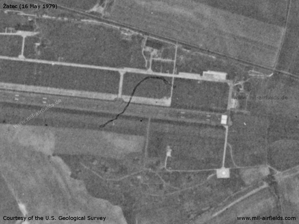
Eastern part
Source: U.S. Geological Survey
Runways
Data for the 1980s:
- 10/28: 2500 m x 80 m Concrete
- 08/26: 2050 m x 30 m Emergency runway
Radio beacons
Data for the 1980s:
- FFF 28: 290.5 "MR"
- NFF 28: 599 "M"
- RSBN: Channel 26 "MR", N502206 E0133503 (S42/83?)
- PRMG: Channel 28
Radio communication
The call sign of the airfield was MERKUR (1980s).
According to western signals intelligence (SIGINT), the airfield was also called "Navigacni Punkt 490" by the Czechoslovak Air Force.
Units
11 SLP "Invazni": L-39ZA, MiG-21MF, UM, MiG-29A, UB (1990)
Additional information
US satellite interpretation from March 1973: Status operational. Hangarette construction is complete. A 4.631 x 66 foot runway/taxiway has been constructed leading to the southwest hangarette group. Three prefabricated concrete structures were under construction, one with each group of hangarettes.
Air order of battle, 01 May 1973: 5 MiG-21 FISHBED; 1 Il-14 CRATE, 5 Mi-4 HOUND
Source: CIA
Today
Use
Closed.
 Follow mil-airfields on Facebook