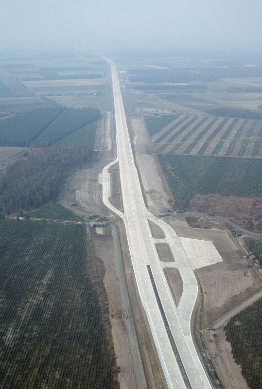
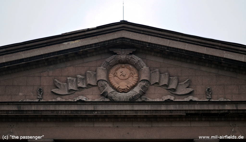
Czech Republic: Air Bases and Military Airfields
Vojenské letiště v České republice
Until 1992, the territory of today's Czech Republic was part of Czechoslovakia (Československo).
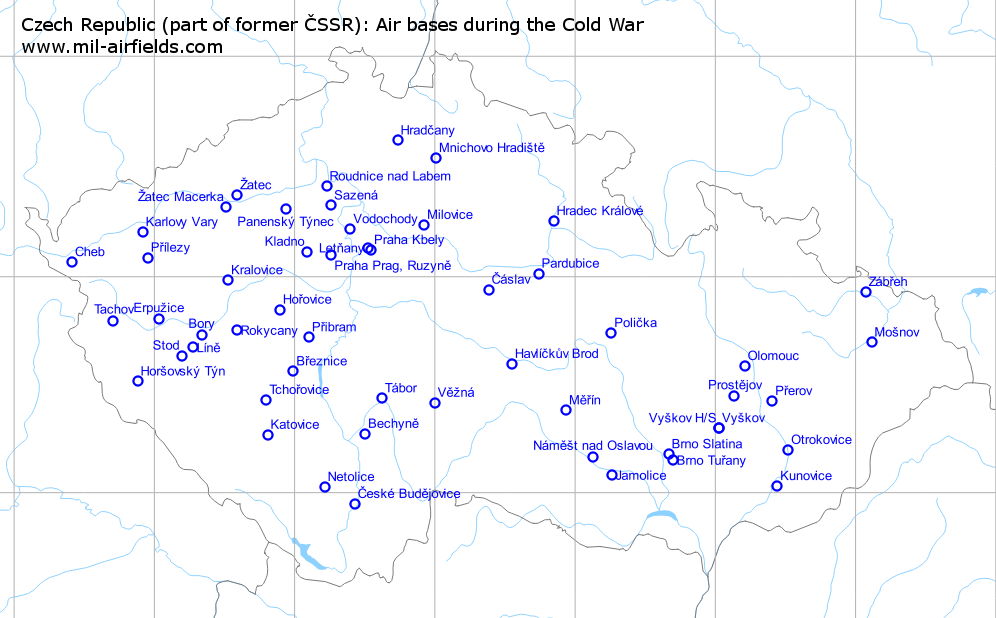
For airfields which are very close together, the label might be shown on the wrong side.
Firing ranges
Cban: Bombing Range Manetin
Call sign "UHLIK".
Dobra Voda: Bombing Range Hartmanice
Call sign "HERNA".
Doupov: Air-to-ground firing range
The radio call sign was "ODKAPNIK".
According to western signals intelligence (SIGINT), the range was also called "Navigacni Punkt 501" by the Czechoslovak Air Force.
Doupov: Air-to-ground firing range for 11 SLP from Žatec.
The call sign was "TEMPERA".
According to western signals intelligence (SIGINT), the range was also called "Navigacni Punkt 501" by the Czechoslovak Air Force.
Jince: Bombing Range
The radio call sign was "TAXATOR".
Trebechovice por Orebem: Bombing Range
The radio call sign was "JILEC".
Additional Information
Detailed information about military objects in the Czech Republic, including airfields.
http://forum.valka.cz/category/view/504758/Vojenske-objekty
Historic aerial pictures for the Czech Republic from the 1950s
http://kontaminace.cenia.cz/
Extensive information about helicopters in the Czech Republic, including airfield information
http://www.vrtulnik.cz/