For historical information only, do not use for navigation or aviation purposes!
| Coordinates | N513645 E0123733 (WGS84) Google Maps |
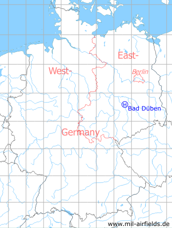
Germany during the Cold War Map
The history of the Cold War airfields: Bad Düben
Location of airfield
3.5 km northeast of Bad Düben.
Usage during the Cold War
Helipad 3061 for Technical School of former East German Air Force (MTS LSK/LV).
Use today
Closed.
Runways, taxiways, aprons
Dimensions: 400 m x 70 m,
main takeoff and landing direction: 300°,
surface: grass
usable without crop damage,
capacity: day 6 helicopters, night 2 helicopters.
main takeoff and landing direction: 300°,
surface: grass
usable without crop damage,
capacity: day 6 helicopters, night 2 helicopters.
Telephone
Stabsnetz S1 335-88
Airspace and procedures
Usable at day and night during good weather conditions.
Alert time: 60 minutes.
Alert time: 60 minutes.
Obstacles
Forest: direction 240°, distance 400 m, height 18 m,
smokestack: distance 300 m, height 15 m,
garage: direction 90°, height 3 m.
smokestack: distance 300 m, height 15 m,
garage: direction 90°, height 3 m.
 Follow mil-airfields on Facebook