For historical information only, do not use for navigation or aviation purposes!
| Coordinates | N474555 E0113543 (WGS84) Google Maps |
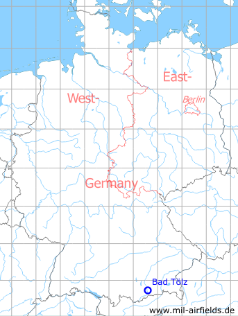
| Federal state | Bayern (Bavaria) |
| Location indicator | EDOV |
Germany during the Cold War
The history of the Cold War airfields: Bad Tölz
During the Cold War
Use
US Army airfield.
In the 1970s
Runways
- 03/21: 1091m x 23m PSP
- 08/26: 549m x 12m PSP
In the 1980s
Situation
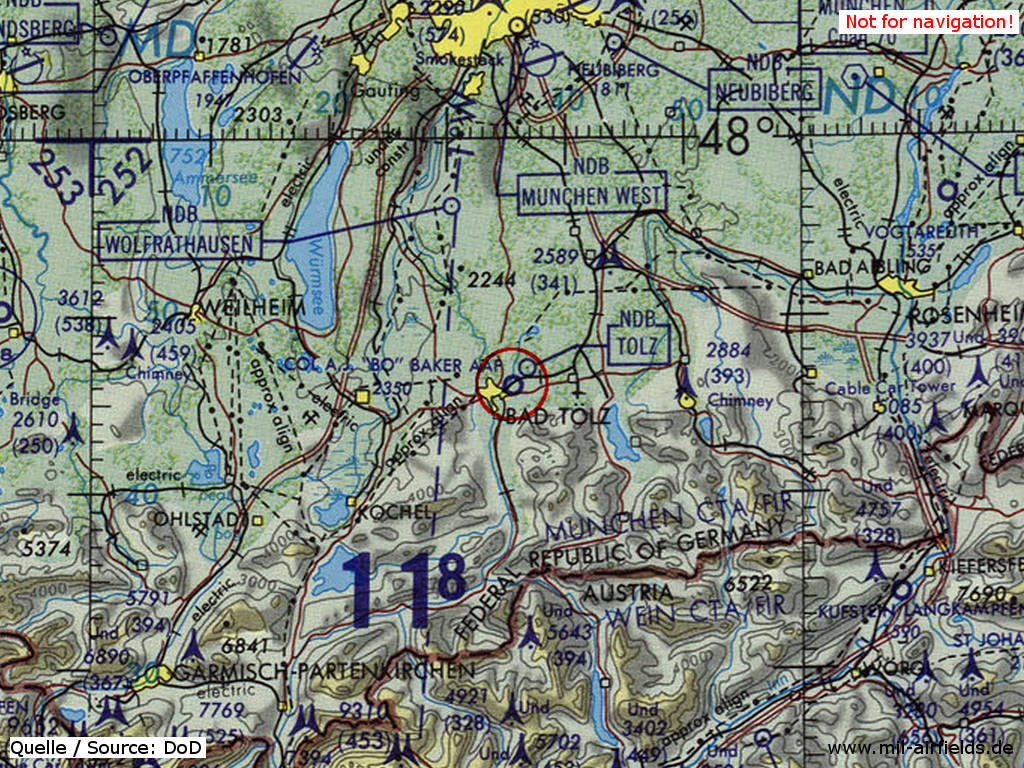
Bad Tölz Baker Army Airfield (AAF) on a map of the US Department of Defense from 1981
Source: ONC F-2 (1981), Perry-Castañeda Library Map Collection, University of Texas at Austin
Overview
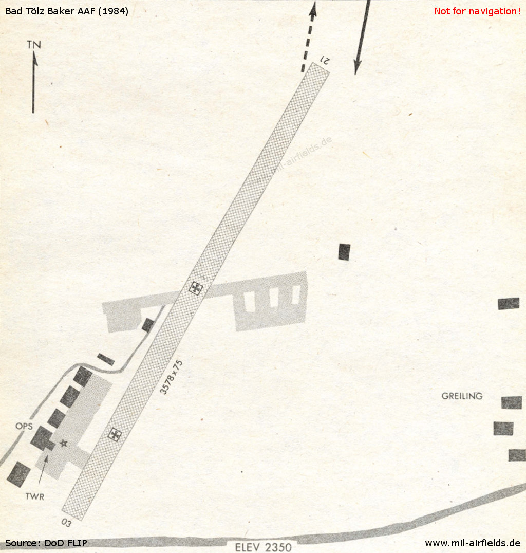
Bad Tölz AAF in 1984
Source: US DoD
Today
Use
General aviation.
Overview
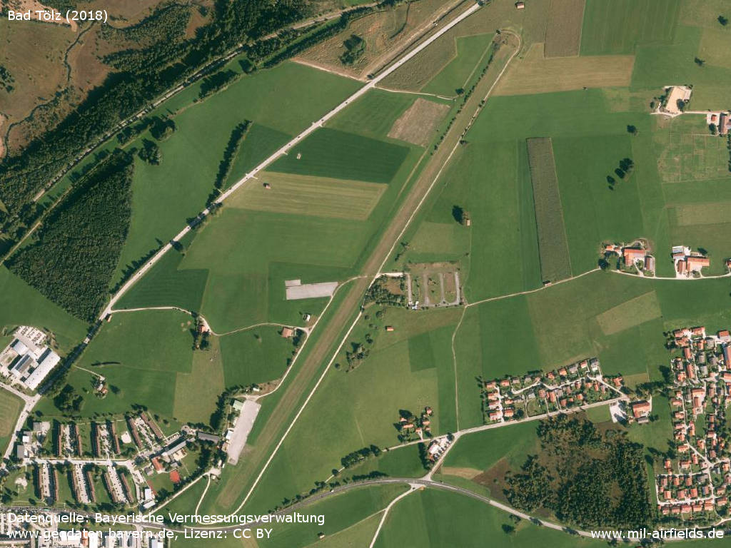
Aerial image (2018)
Source: Datenquelle: Bayerische Vermessungsverwaltung www.geodaten.bayern.de, License: Creative Commons Namensnennung 3.0 Deutschland (CC BY 3.0 DE)
Sources
- https://geoportal.bayern.de/ - Geoportal Bayern
Links
- https://www.lsv-greiling.de/ - Luftsportvereinigung Greiling e. V.
Airfields in the vicinity
- 005°/34km Neubiberg: Airfield (Neubiberg Air Base)
- 011°/42km Munich: Riem Airport (München, Munich Old Airport)
- 327°/42km Oberpfaffenhofen: Airfield
- 356°/46km Munich: Oberwiesenfeld Airfield (München)
- 171°/48km Schwaz: Helipad
Categories
Military Airfields GermanyMilitary Airfields in former West GermanyUS Army Airfields and Heliports in GermanyRecommended
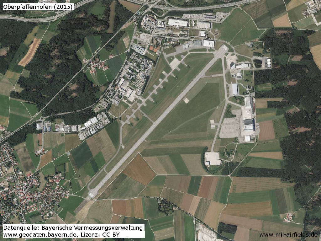
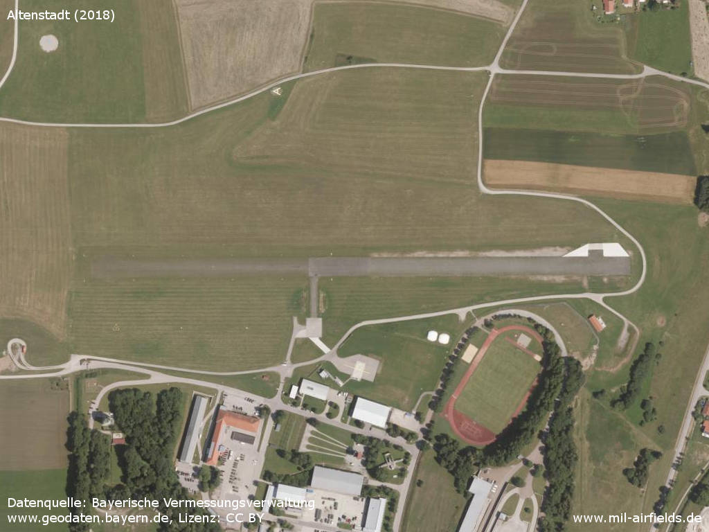
Image credits are shown on the respective target page, click on the preview to open it.
 Follow mil-airfields on Facebook