Burg Stargard: Agricultural Airfield, Helipad 3336
HSLP / HLP 3336, Lindenhof
For historical information only, do not use for navigation or aviation purposes!
| Coordinates | N533048 E0131924 (WGS84) Google Maps |
| Former East Germany (GDR) | District of Neubrandenburg |
| Federal state | Mecklenburg-Vorpommern (Mecklenburg-Western Pomerania) |
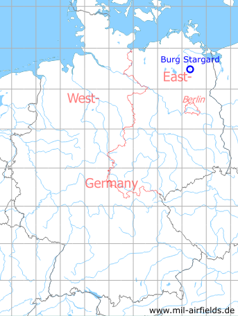
Germany during the Cold War Map
The history of the Cold War airfields: Burg Stargard
Location of airfield
2,3 km north of Burg Stargard.
Usage during the Cold War
Agricultural airfield (Grundflugplatz = base airfield) and helipad 3336 for Anti-Aircraft Missile Unit 233 (FRA-233) of former East German Air Force (NVA LSK/LV).
Use today
Closed.
Runways, taxiways, aprons
Dimensions: 800 m x 70 m,
Main takeoff and landing direction: 45°,
Surface: Grass,
Capacity: 8 helicopters.
Main takeoff and landing direction: 45°,
Surface: Grass,
Capacity: 8 helicopters.
Telephone
Stabsnetz S1 4324
Airspace and procedures
Usable at day during good weather conditions.
Alert time: 90 minutes.
Alert time: 90 minutes.
Obstacles
None.
Airfields in the vicinity
- 058°/6km Pragsdorf: Helipad 3350 (HSLP / HLP 3350)
- 093°/7km Cölpin: Helipad 3301 (HSLP / HLP 3301)
- 246°/8km Klein Nemerow: Helipad 3006 (HSLP / HLP 3006)
- 074°/10km Katzenhagen: Helipad 3302 (HSLP / HLP 3302)
- 354°/10km Neubrandenburg: Air Base (Trollenhagen)
- 082°/16km Ulrichshof: Helipad 3014 (HSLP / HLP 3014)
- 145°/17km Wendorf: Helipad 3027 (HSLP / HLP 3027)
 Follow mil-airfields on Facebook