For historical information only, do not use for navigation or aviation purposes!
| Coordinates | N513641 E0143657 (WGS84) Google Maps |
| Former East Germany (GDR) | District of Cottbus |
| Federal state | Brandenburg |
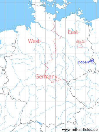
Germany during the Cold War Map
The history of the Cold War airfields: Döbern
Location of airfield
1,5 km southeast Döbern.
Usage during the Cold War
Helipad 3160 for HQ Radar battalion 31 (FuTB-31) of former East German Air Force (NVA LSK/LV).
Use today
Closed.
Runways, taxiways, aprons
Dimensions: 100 m x 80 m,
main takeoff and landing direction: 45°,
surface: gravel
usable without crop damage,
capacity: 1 helicopter
main takeoff and landing direction: 45°,
surface: gravel
usable without crop damage,
capacity: 1 helicopter
Telephone
Stabsnetz S1 9460-11
Airspace and procedures
Usable at day during good weather conditions.
Alert time: 60 minutes
Alert time: 60 minutes
Obstacles
Smokestack: direction 135°, distance 200 m.
 Follow mil-airfields on Facebook