For historical information only, do not use for navigation or aviation purposes!
| Coordinates | N514358 E0143926 ca. (WGS84) Google Maps |
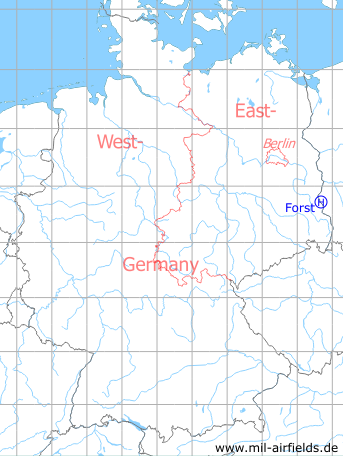
Germany during the Cold War Map
The history of the Cold War airfields: Forst
Location of airfield
1.5 km east-southeast of Forst train station
Usage during the Cold War
Helipad 1010 for Funkelektronische Kontrollzentrale 2 (FeKoZ-2) of former East German Ministry of National Defense.
Use today
Closed.
Runways, taxiways, aprons
Dimensions: 88 m x 75 m,
Main takeoff and landing direction: 0°,
Surface: Grass,
Capacity: 2 helicopters.
Main takeoff and landing direction: 0°,
Surface: Grass,
Capacity: 2 helicopters.
Airspace and procedures
Usable at day during good weather conditions.
Alert time: Day 15 minutes, Night 30 minutes.
Alert time: Day 15 minutes, Night 30 minutes.
Obstacles
Trees: direction 0°, height 20 m,
Lights: direction 180°, height 10 m,
Smokestacks: direction 305°, distance 800 m, height 80 m, 96 m.
Lights: direction 180°, height 10 m,
Smokestacks: direction 305°, distance 800 m, height 80 m, 96 m.
Additional information
See german version for more information