For historical information only, do not use for navigation or aviation purposes!
| Coordinates | N511132 E0125937 (WGS84) Google Maps |
The history of the Cold War airfields: Leisnig
Location
Former East Germany: Bezirk (District) Leipzig;
Today: Federal State (Freestate) of Saxony.
Today: Federal State (Freestate) of Saxony.
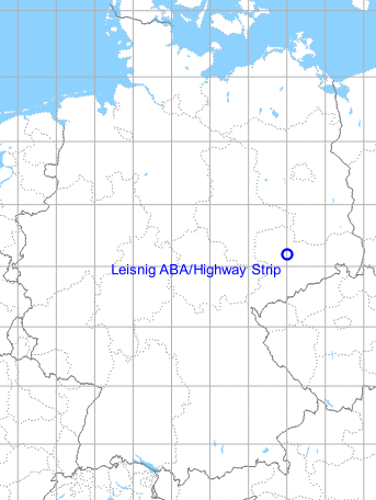
Location of airfield
Autobahn A14 (former east german autobahn A10), between intersections Leisnig and Doebeln-Nord
Usage during the Cold War
Highway Strip, prepared for aircraft operations.
Use today
Closed.
Runways
- 10/28: 1600 m
Real property
Object 13/107 for radio beacon with 4,8 ha near Bockelwitz/autobahn intersection Leisnig
Additional information
Der Autobahnabschnitt wird im Protokoll des Nationalen Verteidungsrates vom 11.11.1985 genannt: der Ausbau soll im Rahmen der Fahrbahnrekonstruktion erfolgen. Die Fertigstellung ist für 1985 geplant, das Objekt befindet sich noch in Bau (Quelle: Bundesarchiv)