For historical information only, do not use for navigation or aviation purposes!
| Coordinates | N542259 E0125445 (WGS84) Google Maps |
| Former East Germany (GDR) | District of Rostock |
| Federal state | Mecklenburg-Vorpommern (Mecklenburg-Western Pomerania) |
| Region | Baltic Sea |
Germany during the Cold War Map
The history of the Cold War airfields: Gross Mohrdorf
General
Groß Mohrdorf was a reserve airfield of the former National People's Army (NVA) of the GDR and was assigned to the Fighter Wing 9, which was stationed in Peenemünde. Until the 1980s, the field had a grass runway with paved starting platforms. At the end of the 1980s an expansion began, in order to create a continuous paved runway. However, the construction work was not completed because of the politcal change. The field has no shelters and no railway siding. Today the airfield is closed.
During the Cold War
Use
Reserve airfield for East German Airforce (NVA LSK/LV) Fighter Wing 9 (Jagdfliegergeschwader 9, JG-9), based in Peenemünde
In the 1970s
Overview
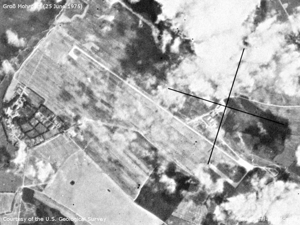
Gross Mohrdorf Airfield on a US satellite image from 25 June 1975
Source: U.S. Geological Survey
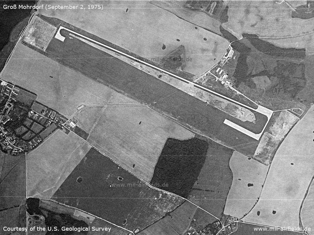
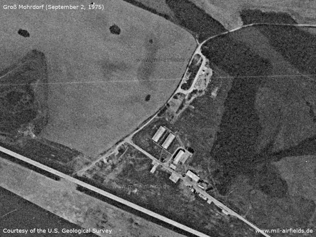
Satellite image from September 2, 1975
Source: U.S. Geological Survey
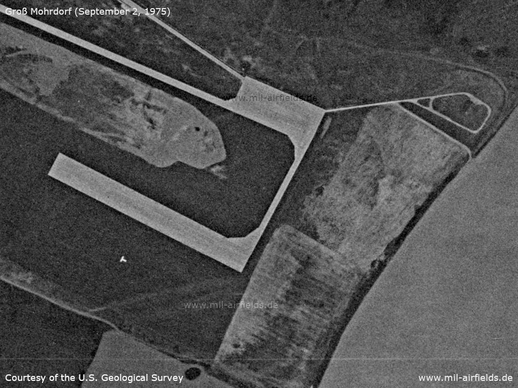
Enlargement: Flightline, runway head, Landing-T
Source: U.S. Geological Survey
Enlargement: Buildings
Source: U.S. Geological Survey
In the 1980s and early 1990s
Runways
- 13/31: 2300 m x 40 m Concrete/Grass/Concrete
A reconstruction of the runway to a complete concrete runway in 1988/1989 was not completed anymore.
Radio communication
The radio call sign for air traffic control was GREIF. Like at some other reserve airfields, the first and the last letters were identical to those of the village.
Units
Feldflugplatzkommando 19 (FFlpK-19)
Real property
The airfield had the East German National People's Army installation Id 01/914.
History
- 1988
Observation by the US Military Liaison Mission: "At Gross Mohrdorf, new concrete landing pads and a taxiway are being poured. In this case, a sample of the concrete was obtained ... These oibservations suggest the Soviets and East Germans have not abandoned the use of auxiliary airfields, but in fact are making improvements at these strips for safer operations." (Source: USMLM 1988)
Today
Use
Closed.
Overview
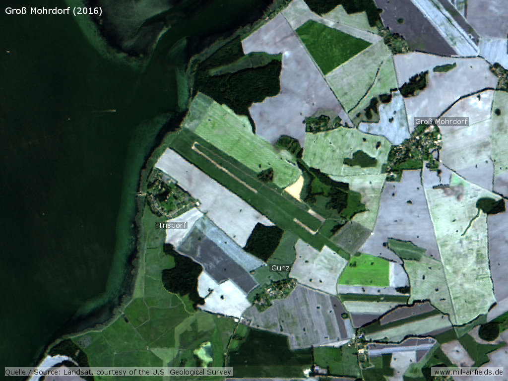
Landsat image from 2016 - Open object in Google Maps
Images
The following pictures are courtesy of Martin p. Thanks a lot for these great impressions!!
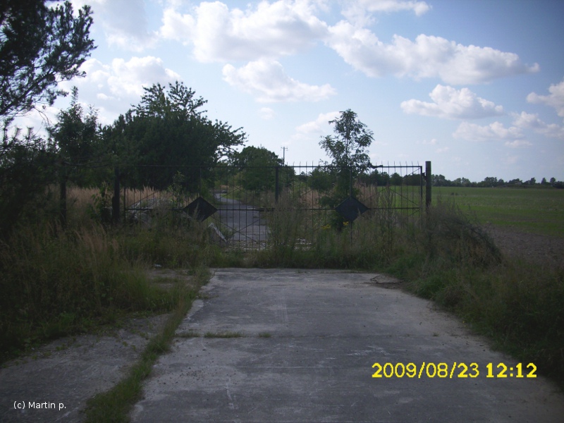
Gate
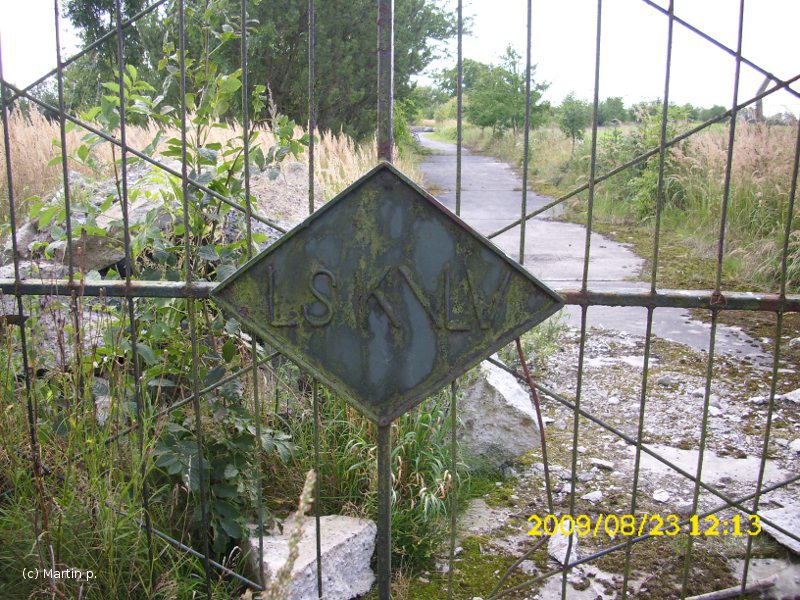
Gate detail: LSK/LV = Luftstreitkräfte und /Luftverteidigung = Air Force and Air Defense. Usually written with a normal slash, but here with a backslash.
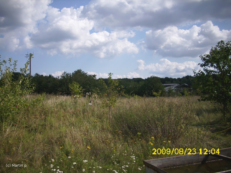
Area
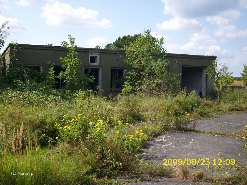
Buildings
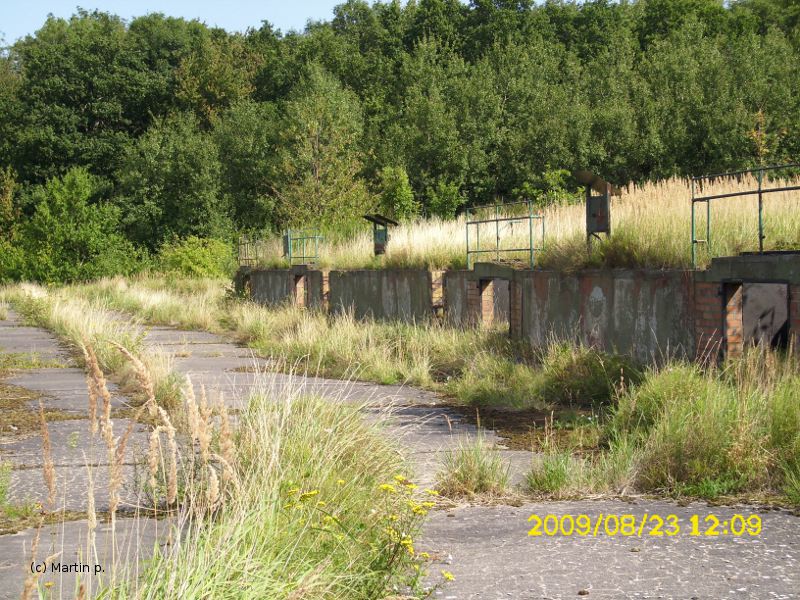
Installations

Gate
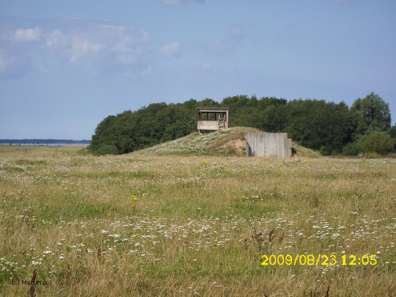
Tower
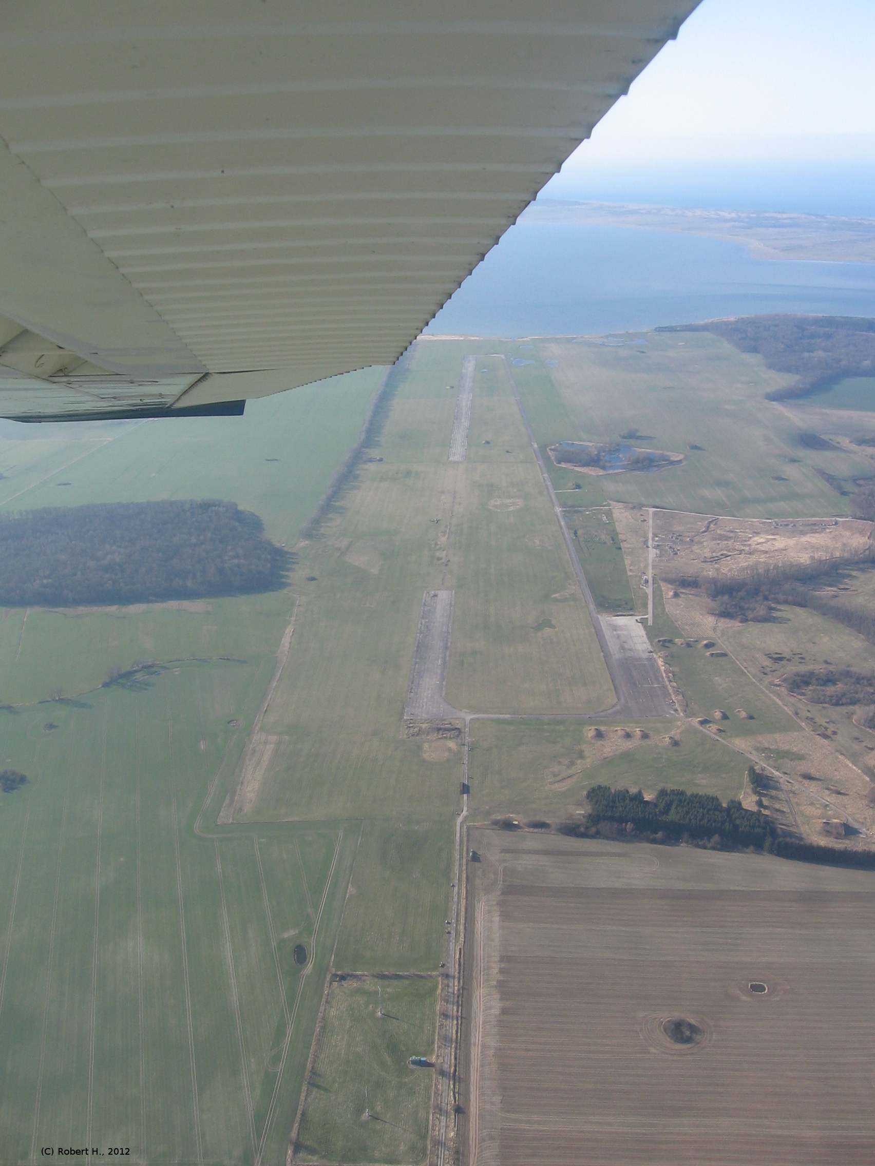
The following aerial picture was taken on the 22 March 2012 by Robert H. Many thanks!!!
Bibliography
- /USMLM 1988/:
United States Military Liaison Mission: "Unit History 1988"
Airfields in the vicinity
- 051°/9km Barhöft: Anti-aircraft Missile Unit 4331 (FRA-4331) (Helipad 3318)
- 098°/11km Parow: Airfield
- 249°/14km Barth: Airport (Stralsund-Barth Airport)
Categories
Military Airfields GermanyMilitary Airfields in former East GermanyAir bases of former National People's ArmyRecommended


Image credits are shown on the respective target page, click on the preview to open it.
 Follow mil-airfields on Facebook