For historical information only, do not use for navigation or aviation purposes!
| Coordinates | N510215 E0111957 (WGS84) Google Maps |
| Former East Germany (GDR) | District of Erfurt |
| Federal state | Thüringen (Thuringia) |
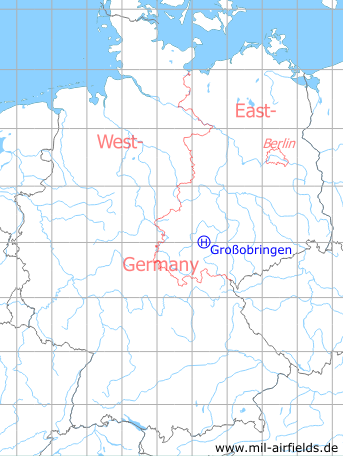
Germany during the Cold War Map
The history of the Cold War airfields: Großobringen
Location of airfield
400 m northwest of Großobringen.
Usage during the Cold War
Helipad 3012 for Radio Transmission Station 2 (FuSA-2) of former East German Air Force (NVA LSK/LV).
Use today
Closed.
Runways, taxiways, aprons
Dimensions: 12 m x 48 m,
main takeoff and landing direction: 90°,
surface: concrete,
capacity: 1 helicopter.
main takeoff and landing direction: 90°,
surface: concrete,
capacity: 1 helicopter.
Telephone
Stabsnetz S1 73306-11
Airspace and procedures
Usable at day during good weather conditions.
Alert time: 60 minutes.
Alert time: 60 minutes.
Obstacles
Antennas: direction 270°, distance 250 m, height 20 m;
Object fence: direction 270°, distance 50 m.
Object fence: direction 270°, distance 50 m.
Airfields in the vicinity
- 221°/9km Nohra: Airfield (Weimar-Nohra)
- 308°/12km Sprötau: Helipad 3140 (HSLP / HLP 3140)
- 097°/20km Wormstedt: Airfield (Zimmern)
 Follow mil-airfields on Facebook