For historical information only, do not use for navigation or aviation purposes!
| Coordinates | N511959 E0101515 (WGS84) Google Maps |
| Airfield Id | 3117 |
Germany during the Cold War Map
The history of the Cold War airfields: Kreuzebra
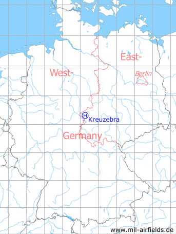
Location of airfield
South-southwest Kreuzebra.
Usage during the Cold War
Helipad 3177 for Radar company 514 (FuTK-514) of former East German Air Force (NVA LSK/LV).
Use today
Closed.
Runways, taxiways, aprons
Dimensions: 19 m x 19 m, 2 parking pads,
main takeoff and landing direction: 30°,
surface: concrete,
capacity: 1 helicopter.
main takeoff and landing direction: 30°,
surface: concrete,
capacity: 1 helicopter.
Communication
Stabsnetz S1 73391-84
Airspace and procedures
Usable at day during good weather conditions.
Alert time: 60 minutes.
Alert time: 60 minutes.
Obstacles
Waterworks: direction 10°, distance 100 m, height 6 m.
 Follow mil-airfields on Facebook