For historical information only, do not use for navigation or aviation purposes!
| Coordinates | N482624 E0101410 (WGS84) Google Maps |
| Elevation | 1566 ft |
| Federal state | Bayern (Bavaria) |
| Location indicator | DBLM, EDSD |
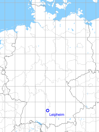
Germany during the Cold War Map
The history of the Cold War airfields: Leipheim
During World War II
Situation
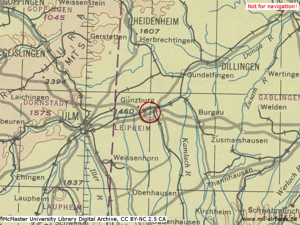
Leipheim Air Base in World War II on a US map from 1944
Source: McMaster University Library Digital Archive, Lizenz: Creative Commons Attribution-NonCommercial 2.5 CC BY-NC 2.5 CA
During the Cold War
Use
German Air Force airfield.
1960s
Situation
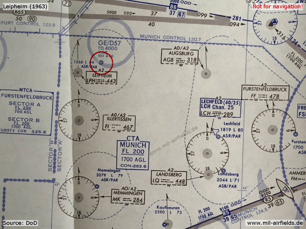
Leipheim airfield on a map from 1963
Radio beacons
- NDB: 443 "LPH", 070° / 5.4 NM zum Platz
- TACAN: CH 53 "LPH", at field
Radio communication
- Leipheim GCA 284.6, 301.4, 344.0, 385.4, 321.7, 123.3, 122.1
- Leipheim Tower 257.8, 246.1, 122.1, 129.85
- Homer 267.5, 385.4, 344.0, 321.7, 301.4, 284.6, 257.8, 246.1
In the 1970s
Situation
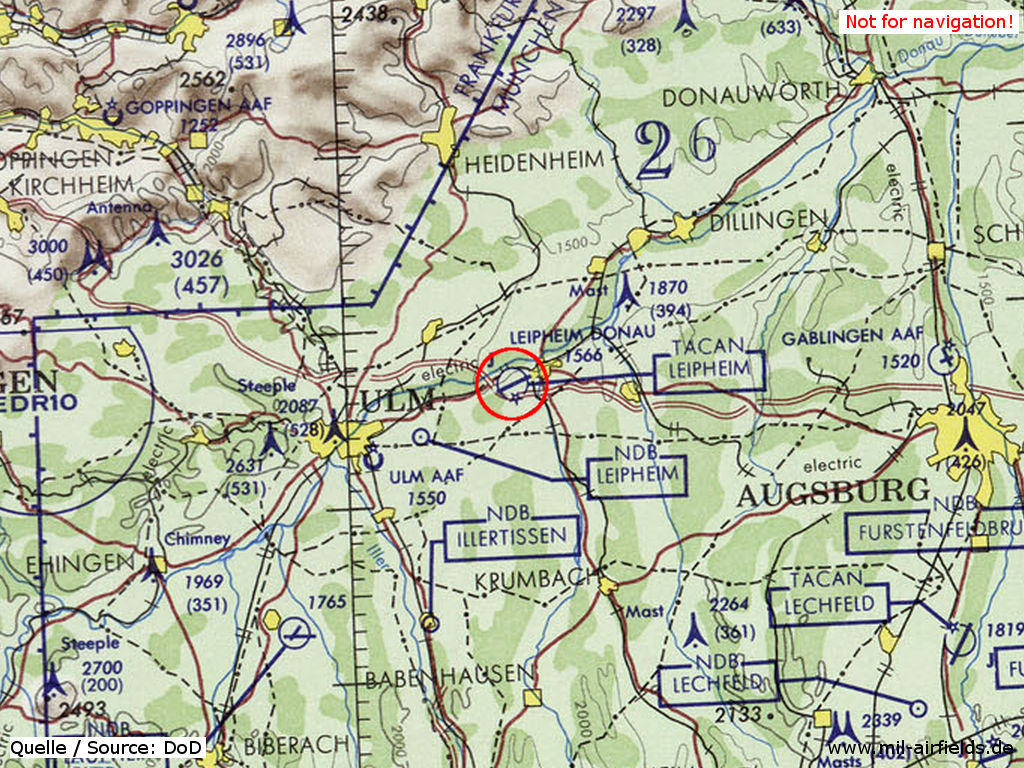
Leipheim air base on a map of the US Department of Defense from 1972
Overview
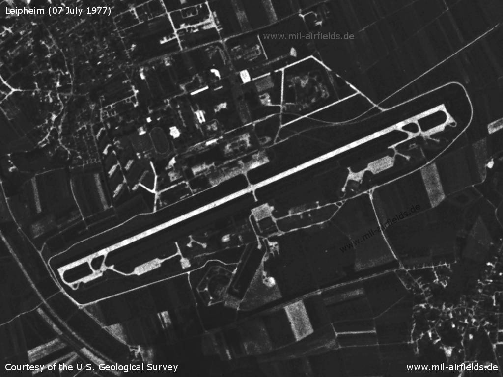
Leipheim Air Base on a US satellite image from 07 July 1977
Source: U.S. Geological Survey
1980s
Overview
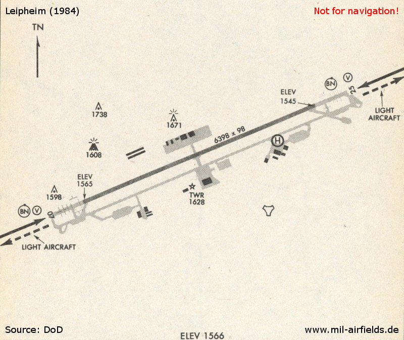
Leipheim Air Base 1984
Runways
- 07/25: 2000 m x 45 m Concrete
Radio beacons
- TACAN: CH 53 "LPH", 069° / 5.9 NM to field
Radar
ASR, PAR
Radio communication
- Leipheim GCA 236.8, 344.0, 123.3, 381.1, 292.6, 385.4
- Leipheim Tower 291.0, 257.8, 122.1
- Homer 239.5
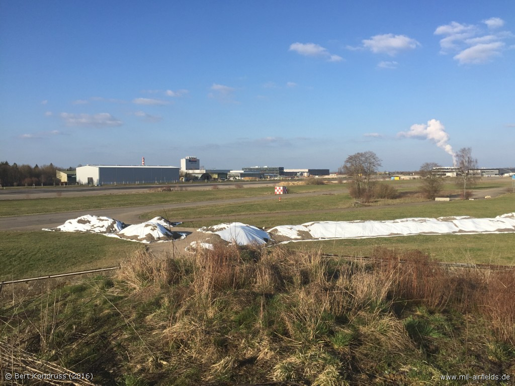
Today: Business park "Areal Pro"
Use
The airfield is closed. The site was converted into a commercial area by the adjacent municipalities of Günzburg, Leipheim and Bubesheim.
Overview
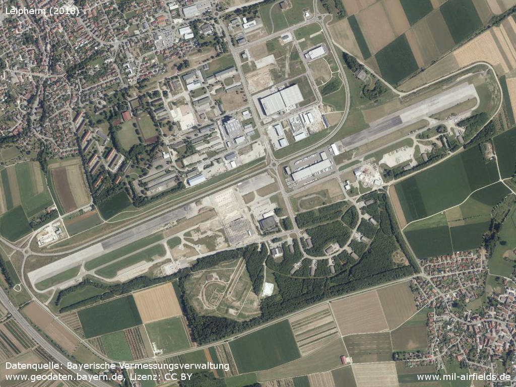
Aerial image
Source: Datenquelle: Bayerische Vermessungsverwaltung www.geodaten.bayern.de, License: Creative Commons Namensnennung 3.0 Deutschland (CC BY 3.0 DE)
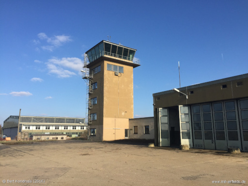
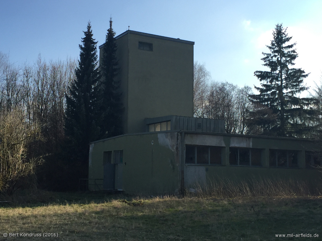
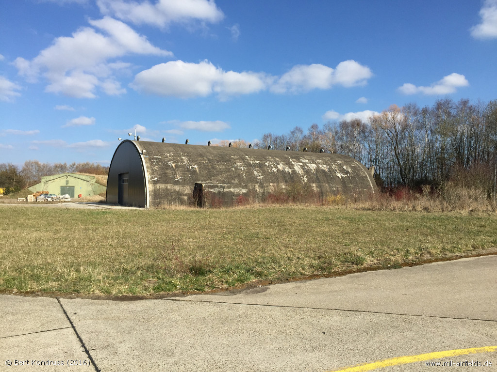
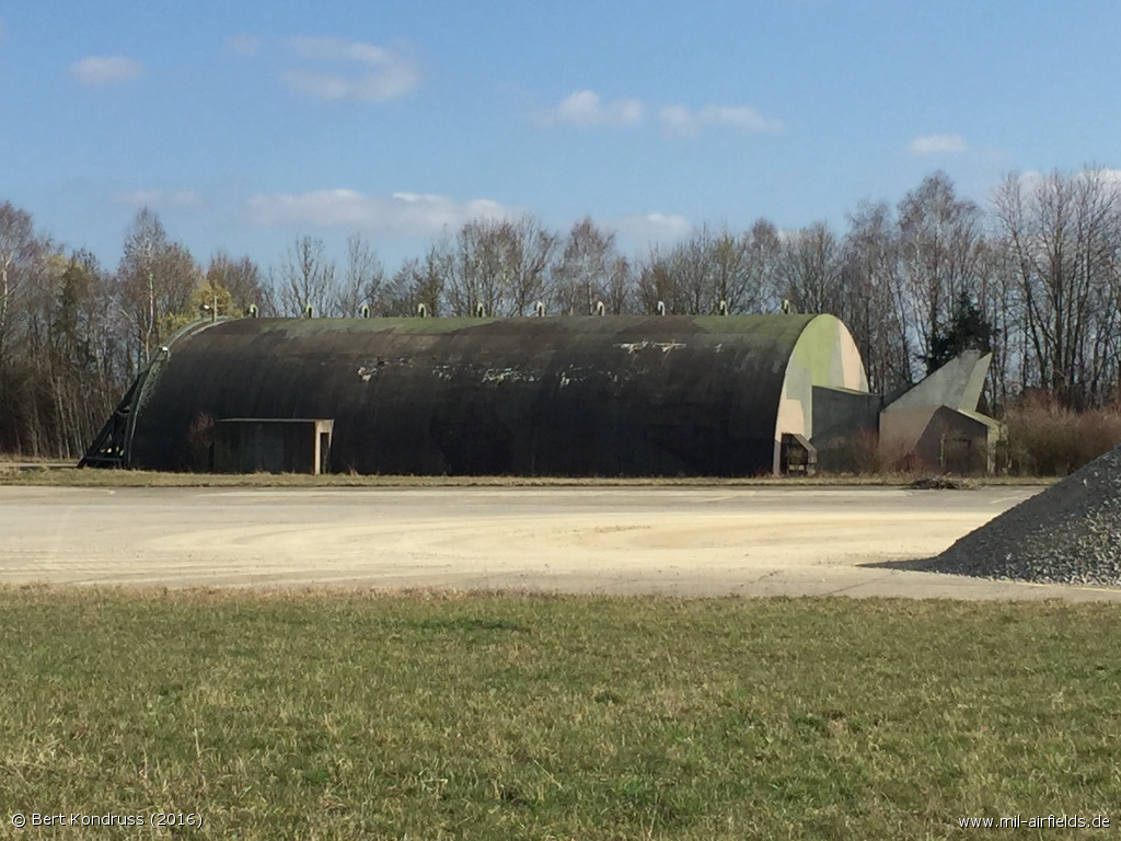
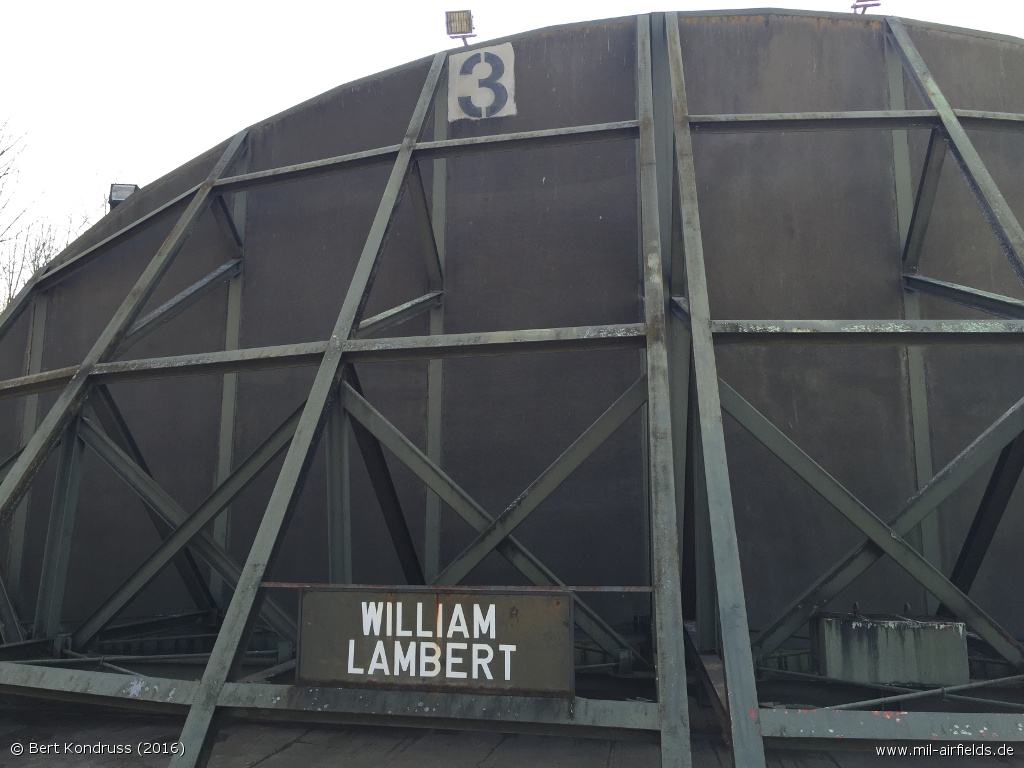
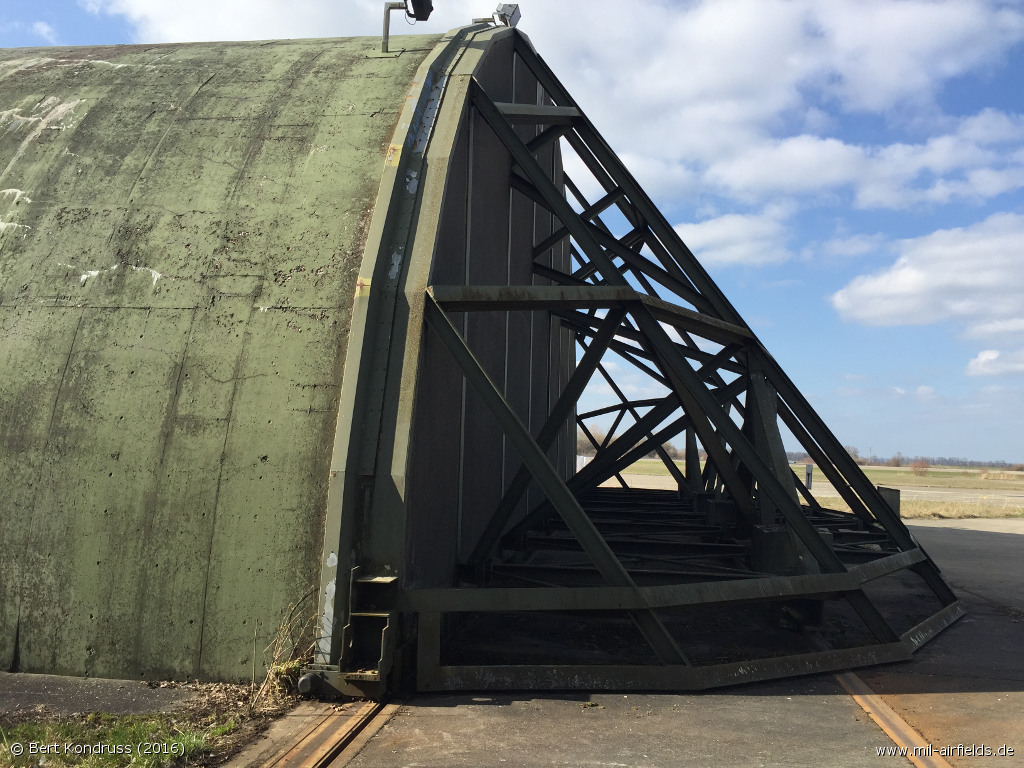
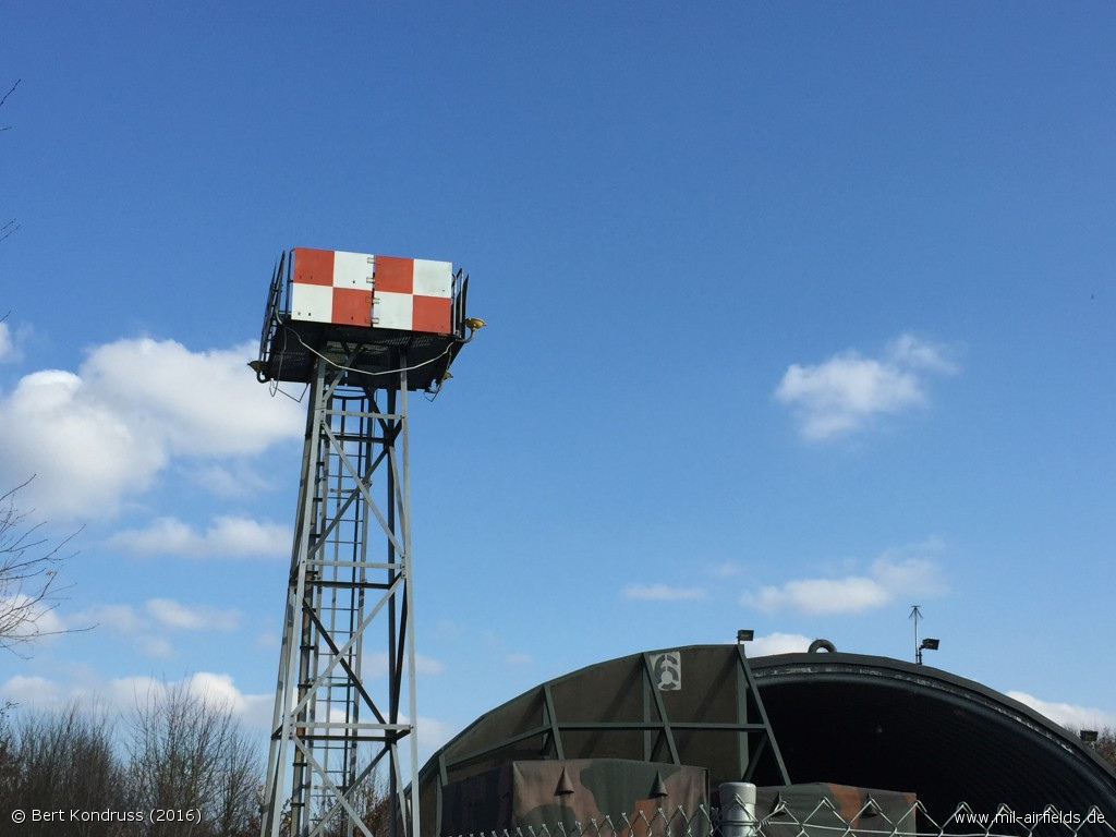
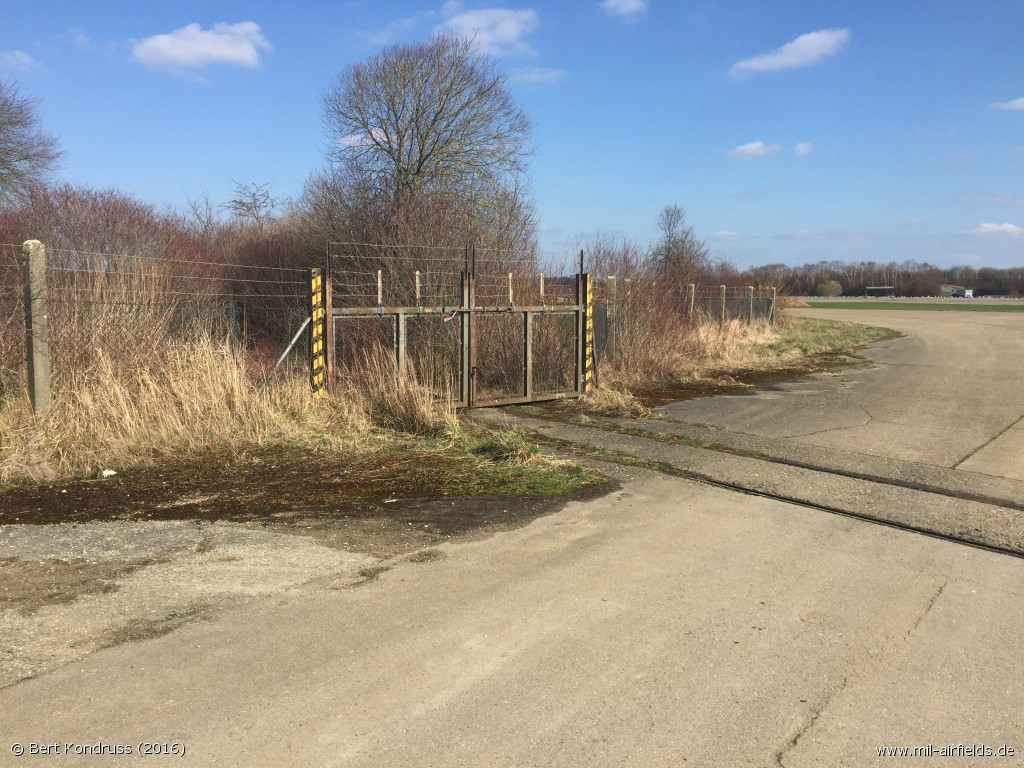
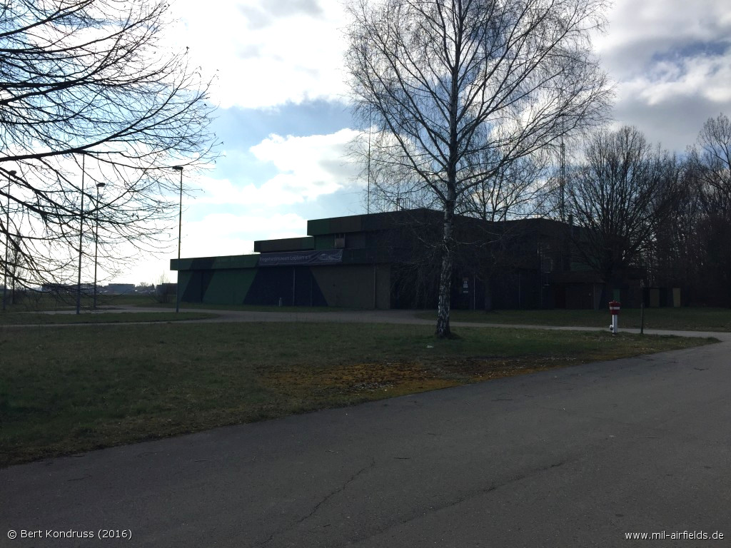
Pictures from Leipheim Air Base from 2016
The control tower was demolished in autumn 2016.
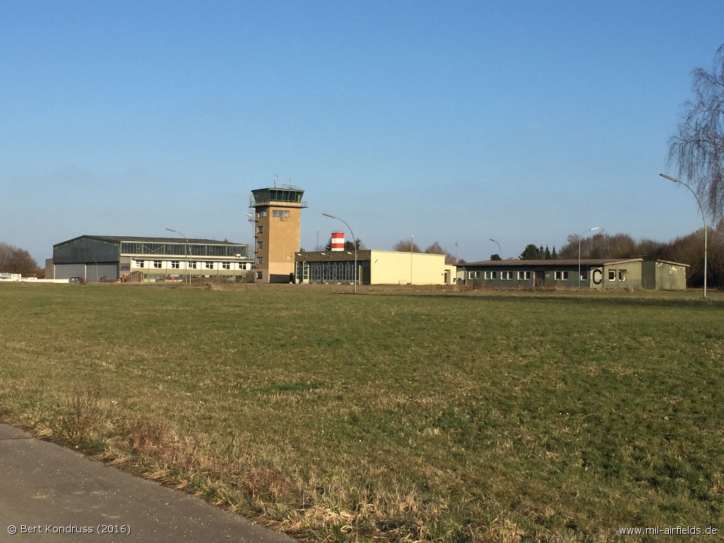
Control Tower
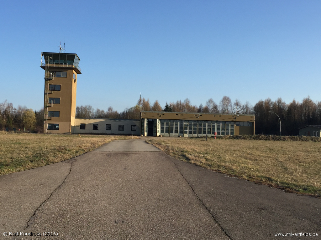
Former tower and fire station

Leipheim Control Tower
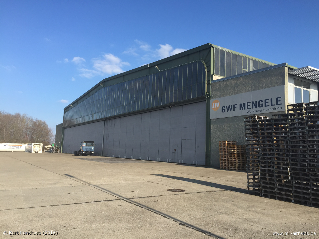
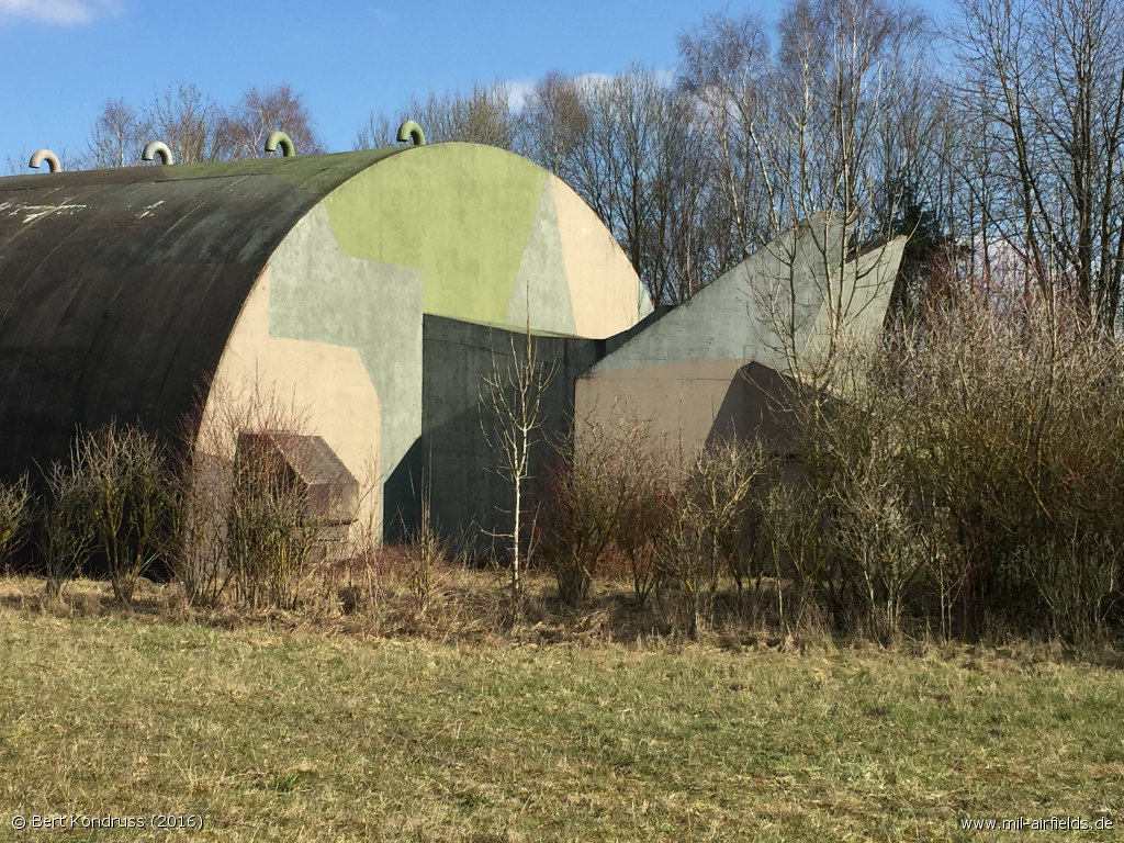
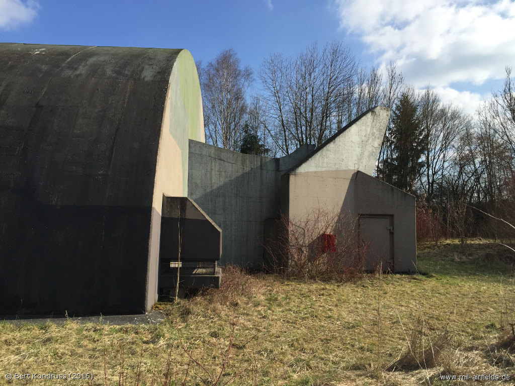
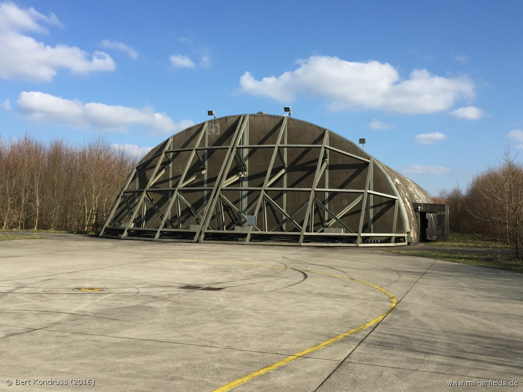
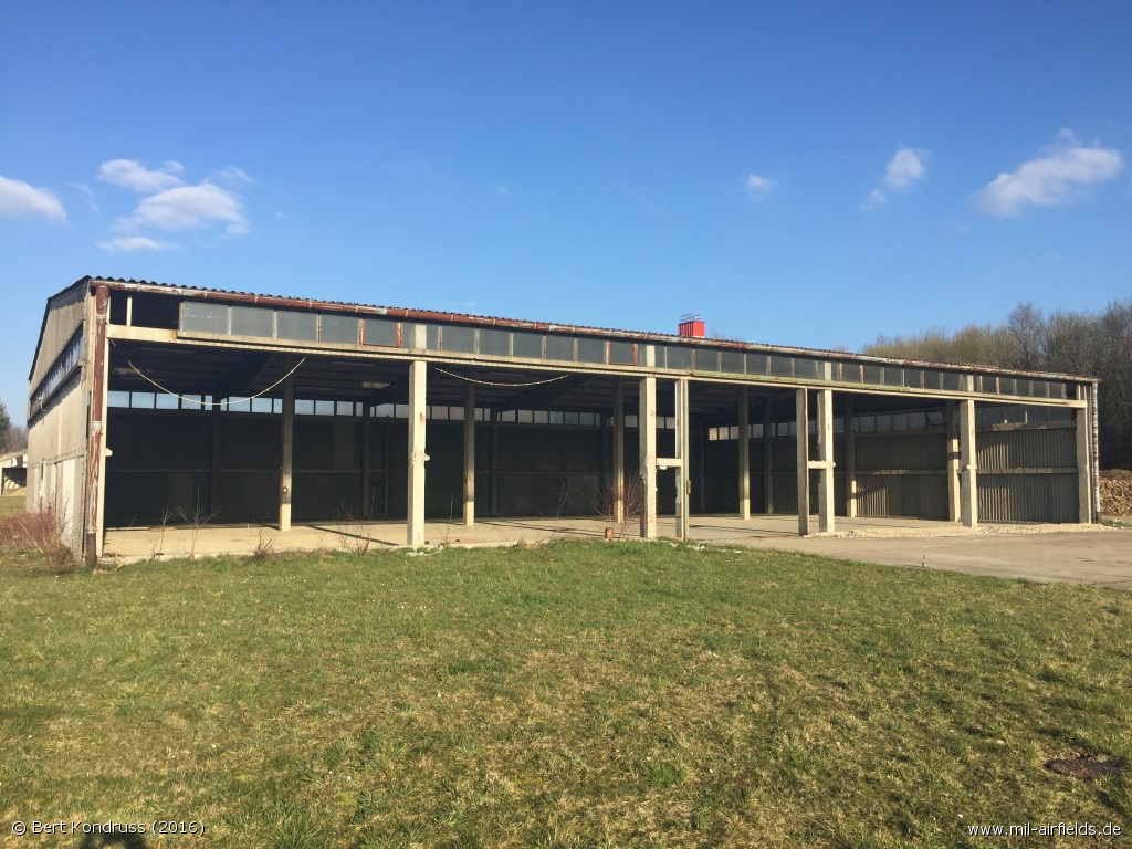
Hangar at the center of the field, south of the runway
At the back side of the hangar
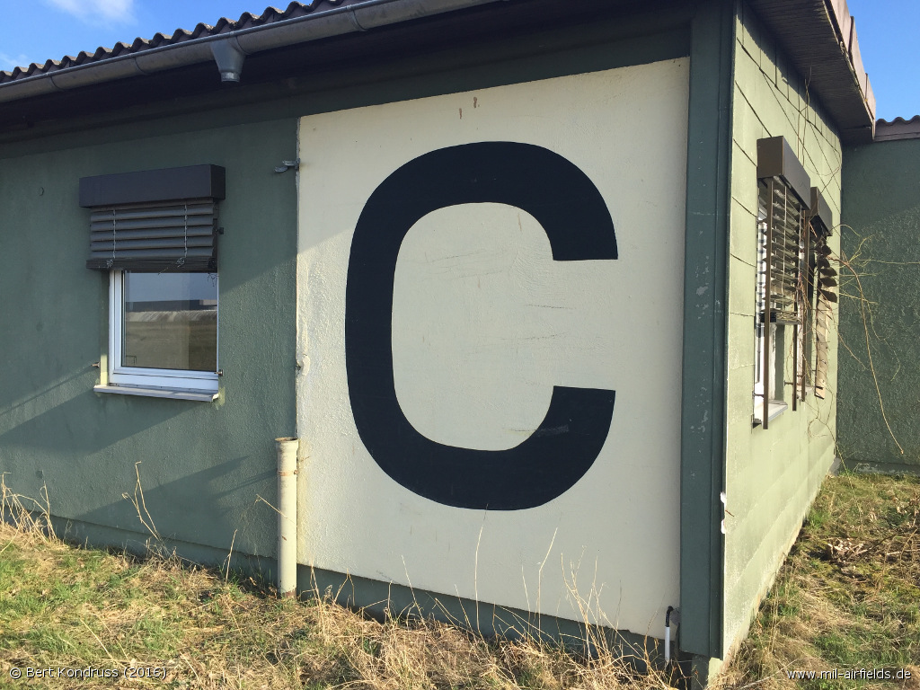
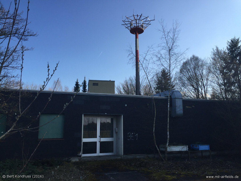
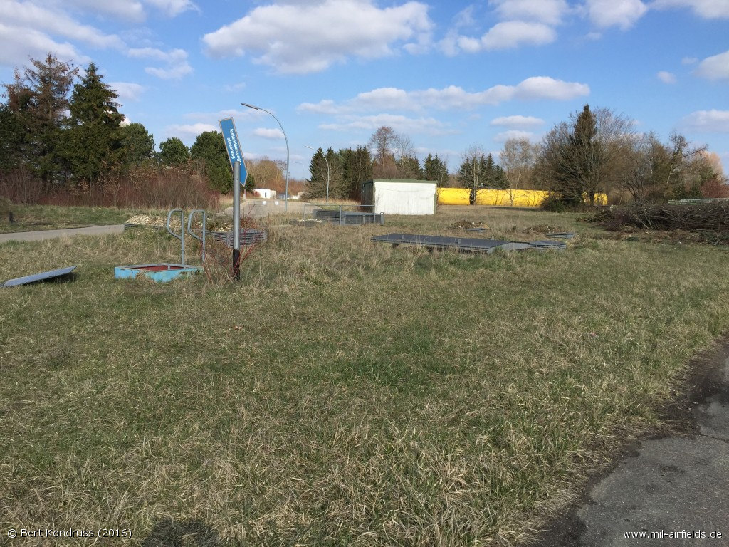
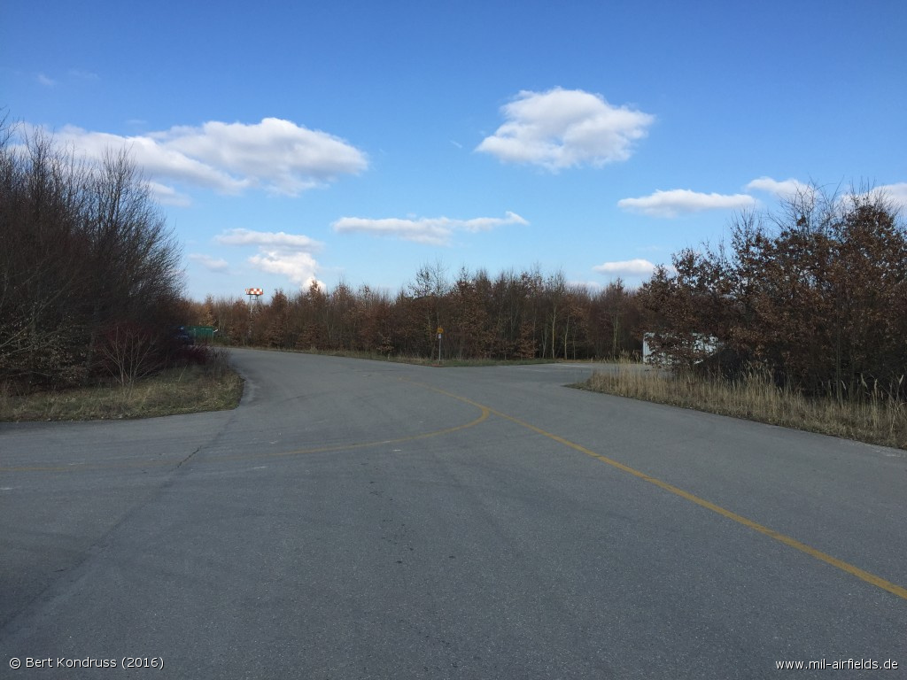
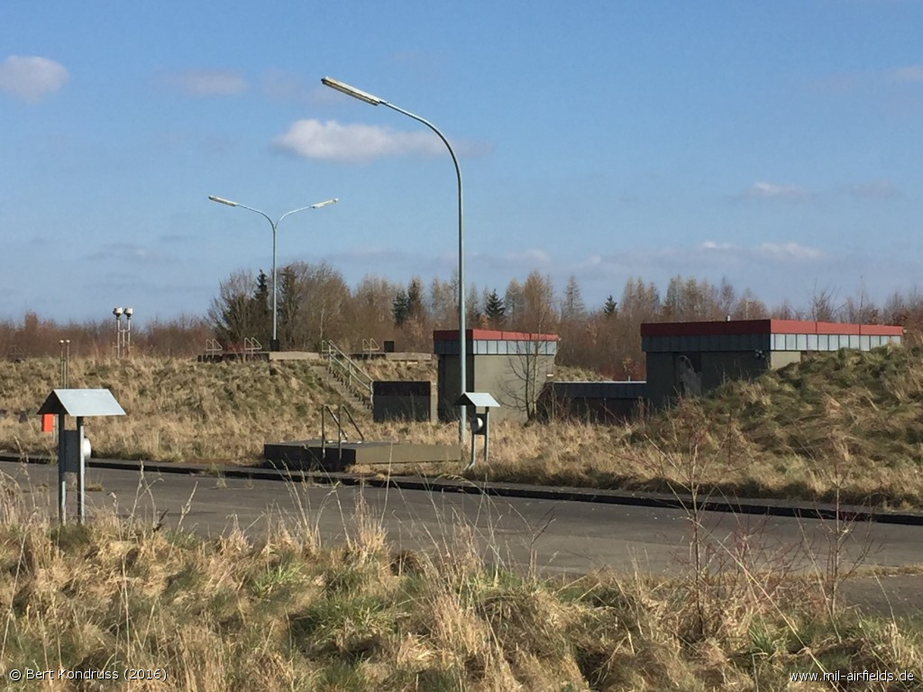
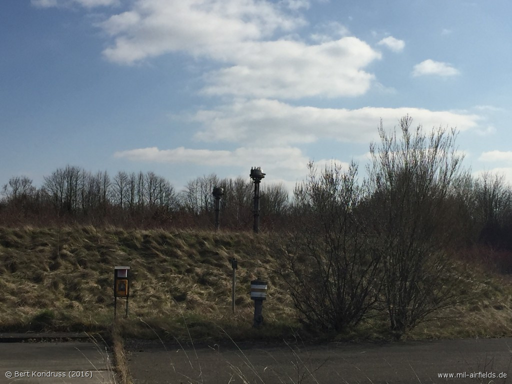
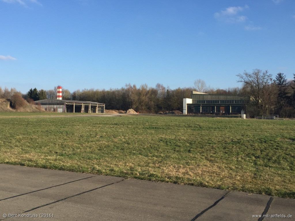
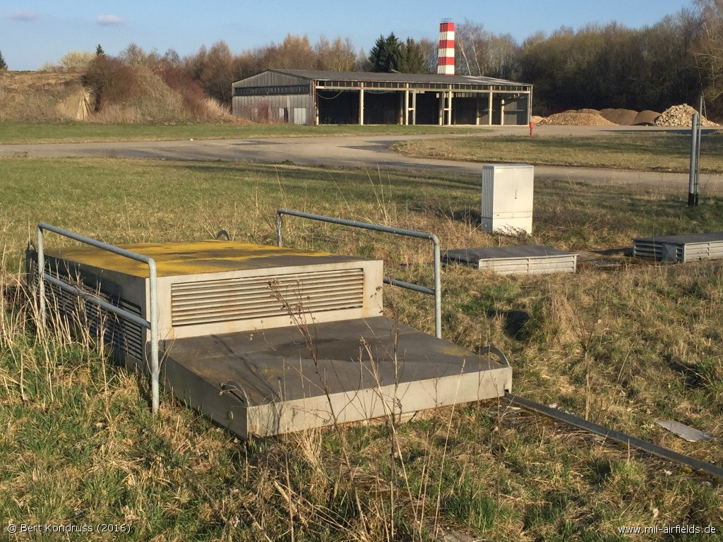
Northeastern Part
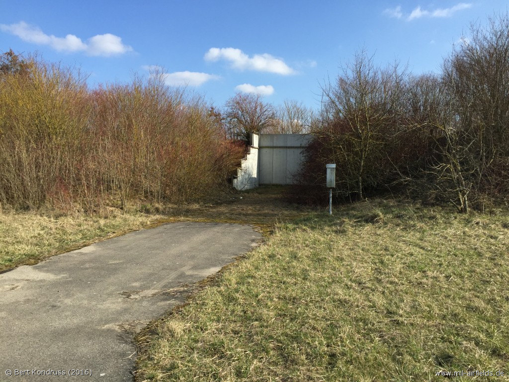
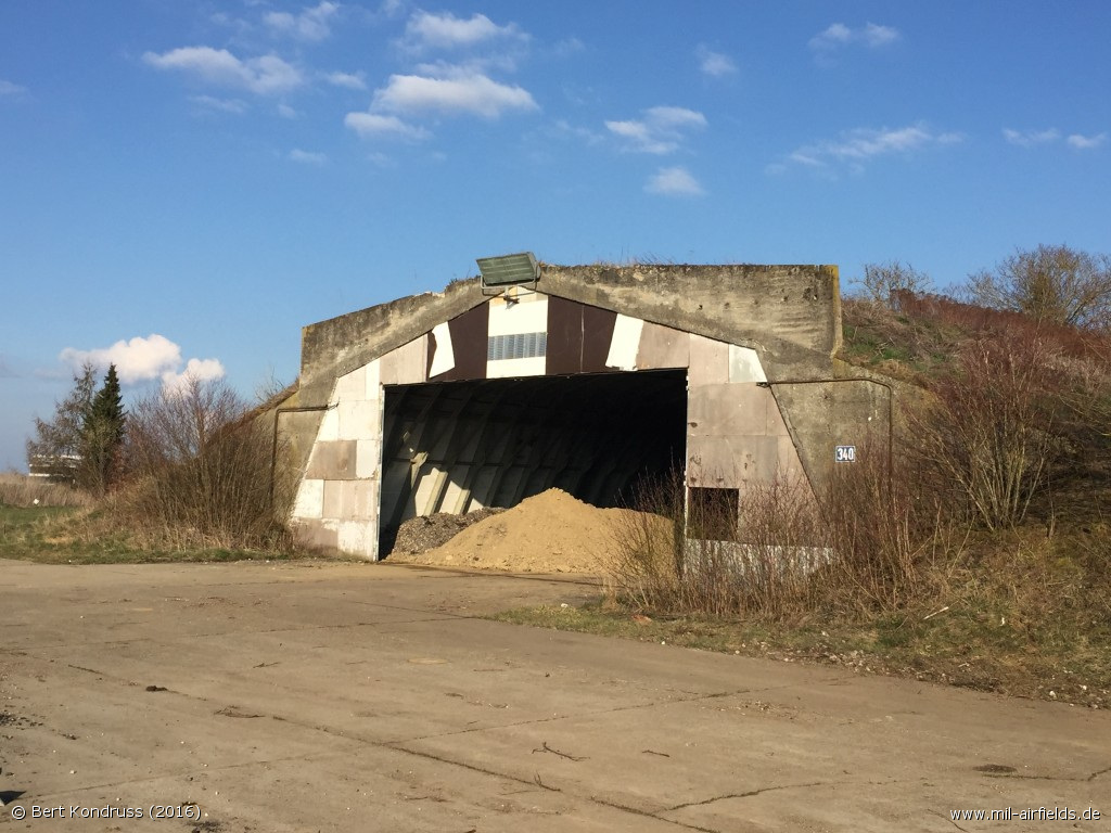
Shelter loop in the south
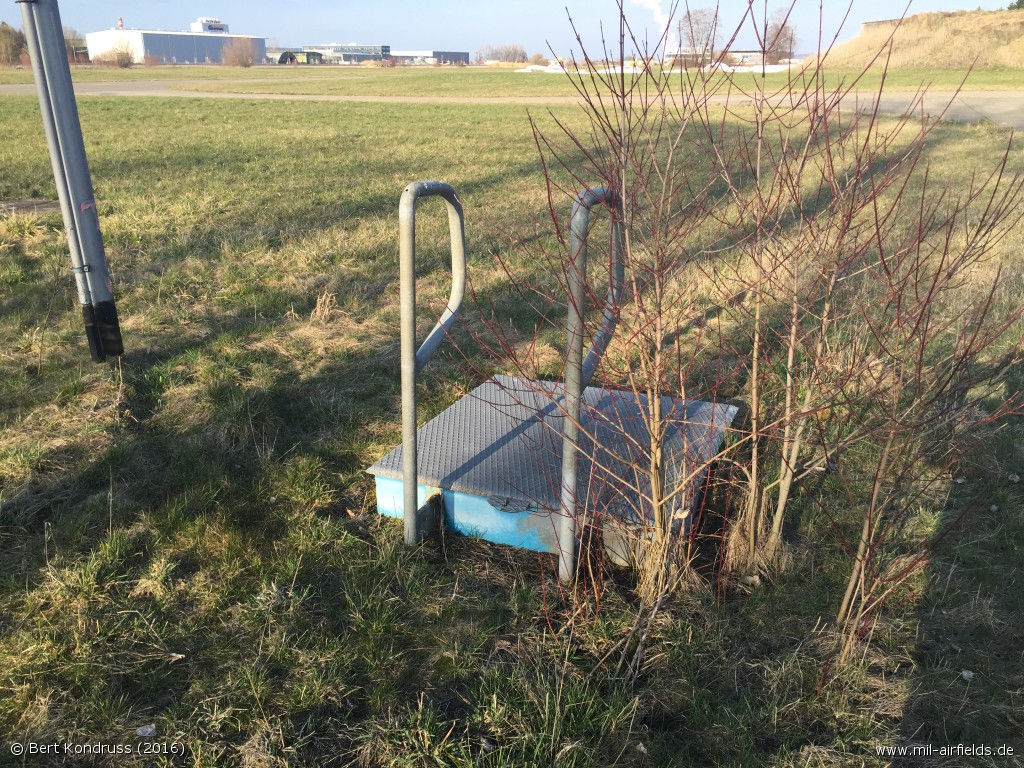
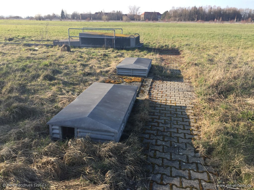
Installations - Fuel site
- Fuel site

Fuel site
Garage
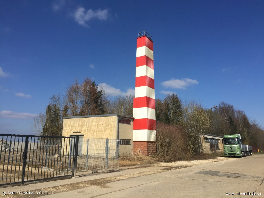
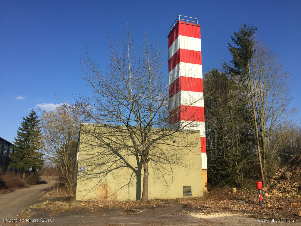
Smokestack
Railway spur
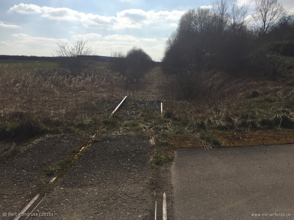
Tracks
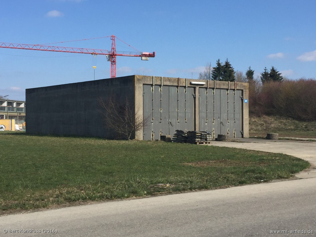
Bunker
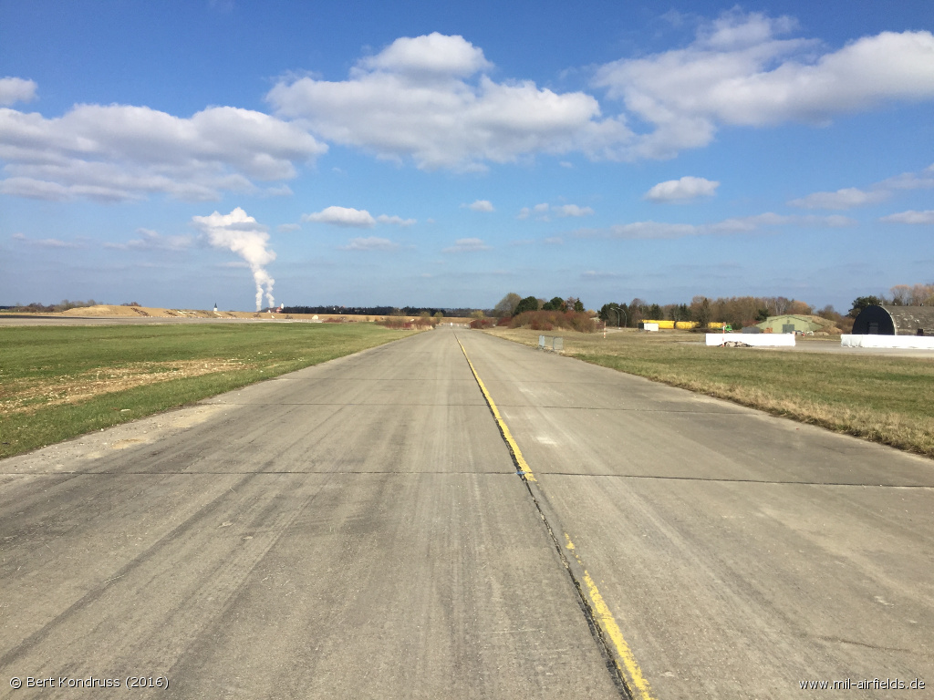
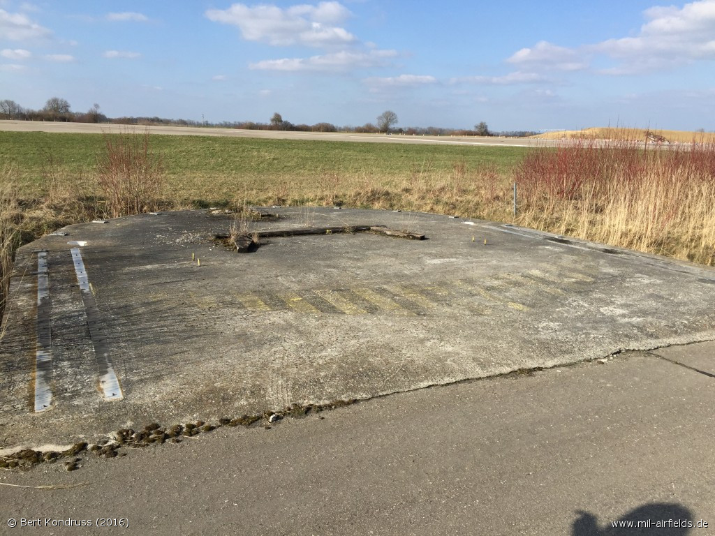
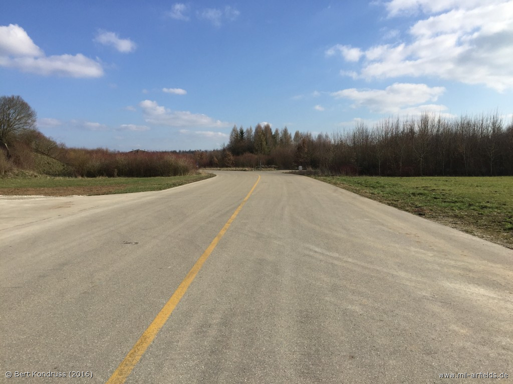
Southwestern Part
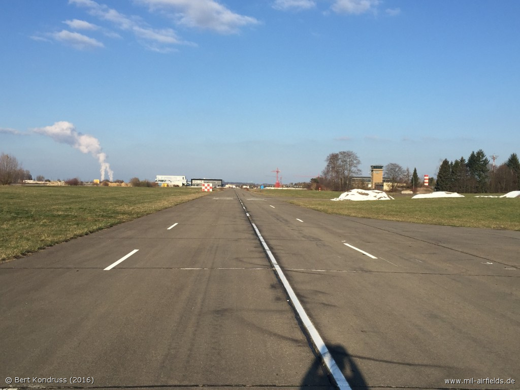
Taxiway looking northeast
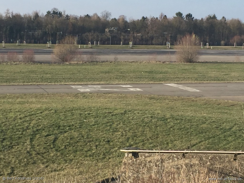
"Small" runway on the taxiway. In the background the former runway.
Videos
- https://youtu.be/JT2AY_ynY1c - Operations at Leipheim Air Base
Sources
- https://geoportal.bayern.de/ - Geoportal Bayern
Links
- https://fliegerhorstmuseum-leipheim.de/ - Leipheim Air Base Museum
- http://www.fursty.org/sammlung/index.html - LeKG 44 Leipheim
Airfields in the vicinity
- 248°/16km Neu-Ulm: Ulm Army Airfield (Neu-Ulm, Schwaighofen)
- 225°/34km Laupheim: Air Base (Walpartshofen)
Categories
Military Airfields GermanyMilitary Airfields in former West GermanyGerman Air Force Air BasesAir Bases of the United States Air Force (USAF) in GermanyRecommended

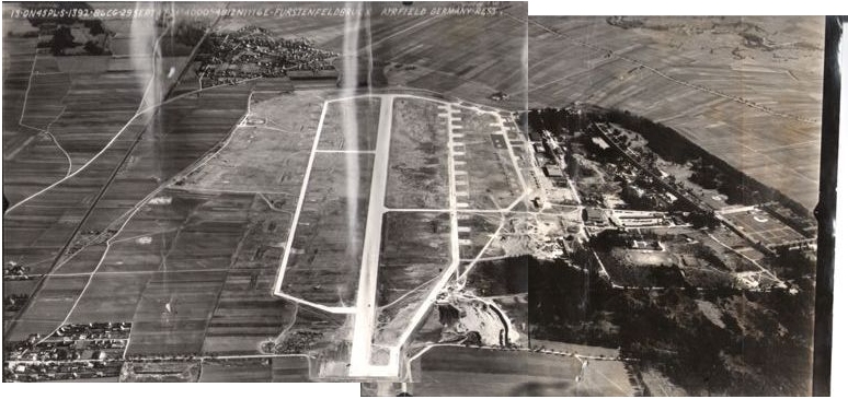
Image credits are shown on the respective target page, click on the preview to open it.
 Follow mil-airfields on Facebook