For historical information only, do not use for navigation or aviation purposes!
| Coordinates | N521701 E0131357 (WGS84) Google Maps |
| Former East Germany (GDR) | District of Potsdam |
| Federal state | Brandenburg |
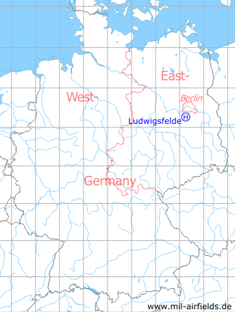
Germany during the Cold War Map
The history of the Cold War airfields: Ludwigsfelde Helipad
Location of airfield
2.5 km southwest of Ludwigsfelde.
Usage during the Cold War
Helipad 1012 for Directional Radio Regiment 2 (Richtfunkregiment 2, RFuR-2) of fromer East German Forces (NVA).
Use today
Closed.
Runways, taxiways, aprons
Dimensions: 50 m x 100 m,
Main takeoff and landing direction: 90°,
Surface: Grass,
Capacity: 1 helicopter.
Main takeoff and landing direction: 90°,
Surface: Grass,
Capacity: 1 helicopter.
Airspace and procedures
Usable at day and night during good weather conditions.
Alert time: 60 minutes.
Alert time: 60 minutes.
Obstacles
Trees: direction 0°-360°, distance 50 m, height 15 m.
Airfields in the vicinity
- 287°/9km Saarmund: Airfield (Eichberg, Wilhelmshorst)
- 092°/13km Rangsdorf: Airfield (Аэродром Рангсдорф)
- 329°/14km Berlin: Steinstücken Helipad
- 013°/15km Berlin: Berlin Command Airstrip
- 163°/17km Sperenberg: Air Base (Kummersdorf, Аэродром Шперенберг)
 Follow mil-airfields on Facebook