For historical information only, do not use for navigation or aviation purposes!
| Coordinates | N502158 E0071855 (WGS84) Google Maps |
| Location indicator | EDPN (-1995), ETHM (1995-2007), EDRE |
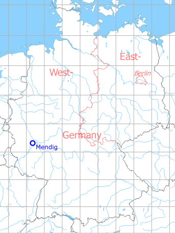
Germany during the Cold War Map
The history of the Cold War airfields: Mendig
During World War II
Use
Luftwaffe airfield.
Situation
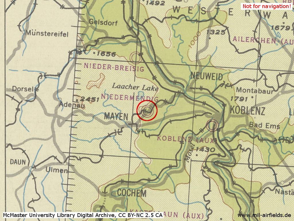
Mendig Air Base in World War II on a US map from 1944
Source: McMaster University Library Digital Archive, Lizenz: Creative Commons Attribution-NonCommercial 2.5 CC BY-NC 2.5 CA
During the Cold War
Use
German Army Aviation airfield.
In the 1970s
Situation
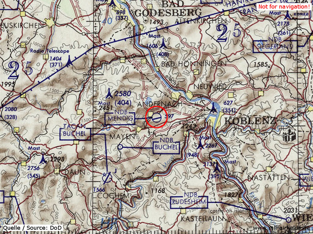
Mendig Air Base on a map of the US Department of Defense from 1972
Source: ONC E-2 (1972), Perry-Castañeda Library Map Collection, University of Texas at Austin
Overview
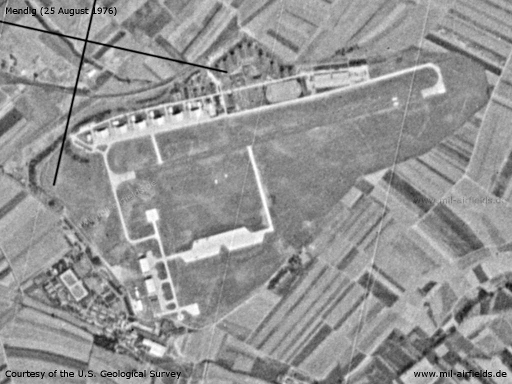
Mendig Air Base on a US satellite image from 25 August 1976
Source: U.S. Geological Survey
In the 1980s
Overview
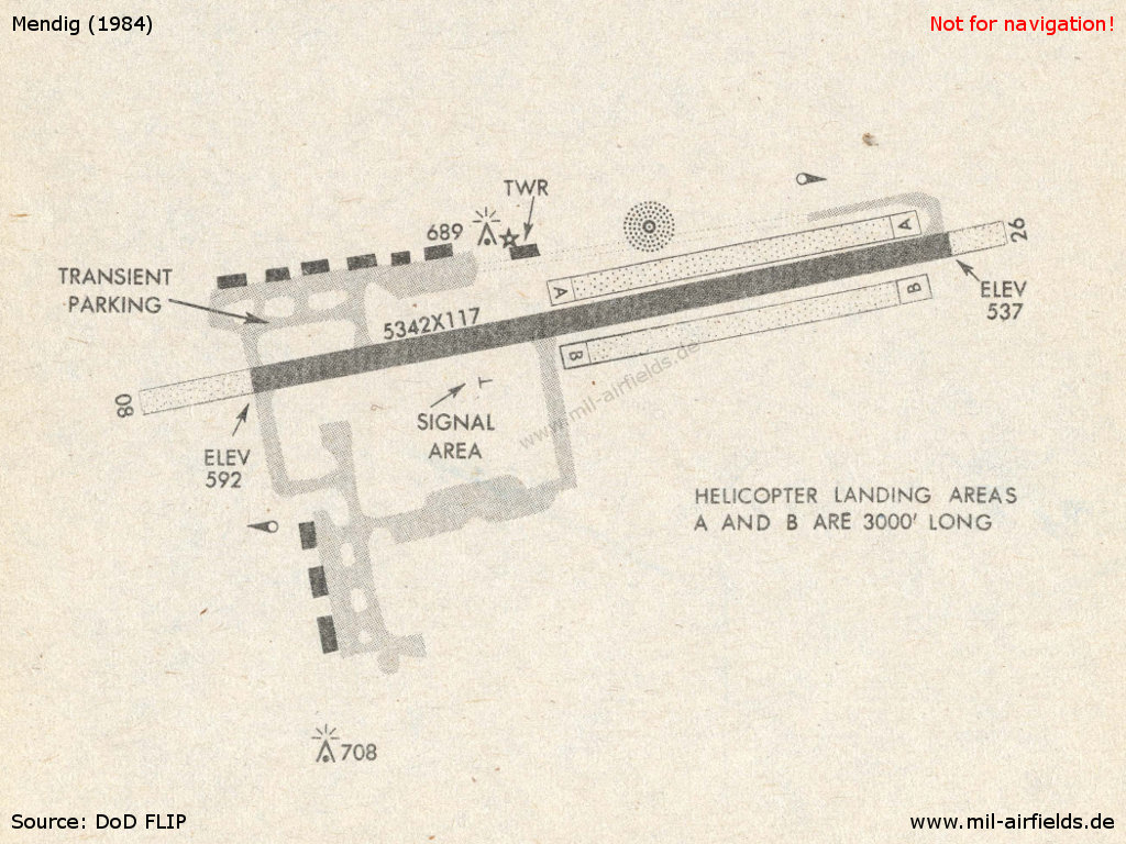
Mendig in 1984
Source: US DoD
Runways
- 08/26: 1628 m x 36 m Asphalt
Radio beacons
- NDB: 331 "NMN", at field
Today
Use
General aviation.
Overview
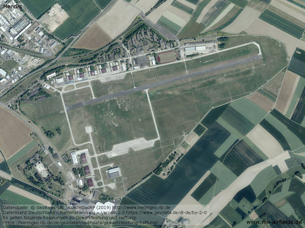
Aerial image
Source: Datenquelle: © GeoBasis-DE / LVermGeoRP (2019),
Datenlizenz Deutschland – Namensnennung – Version 2.0 https://www.govdata.de/dl-de/by-2-0, http://www.lvermgeo.rlp.de
Airfields in the vicinity
- 220°/28km Büchel: Air Base
- 323°/31km Bad Neuenahr: Highway Strip (Notlandeplatz NLP, Gehlsdorf)
Categories
Military Airfields GermanyMilitary Airfields in former West GermanyGerman Army AirfieldsAirfields of the French Forces in GermanyRecommended
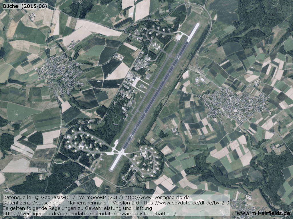
Image credits are shown on the respective target page, click on the preview to open it.
 Follow mil-airfields on Facebook