For historical information only, do not use for navigation or aviation purposes!
| Coordinates | N510621 E0132823 (WGS84) Google Maps |
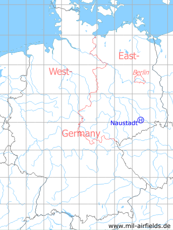
Germany during the Cold War Map
The history of the Cold War airfields: Naustadt
Location of airfield
2.5 km southwest Naustadt.
Usage during the Cold War
Helipad 3164 for Radar Company 314 (FuTK-314) of former East German Air Force (NVA LSK/LV).
Use today
Closed.
Runways, taxiways, aprons
Dimensions: 150 m x 150 m,
main takeoff and landing direction: 270°,
surface: concrete,
usable without crop damage,
capacity: 1 helicopter.
main takeoff and landing direction: 270°,
surface: concrete,
usable without crop damage,
capacity: 1 helicopter.
Telephone
Stabsnetz S1 9460-484
Airspace and procedures
Usable at day during good weather conditions.
Alert time: 60 minutes.
Alert time: 60 minutes.
Obstacles
Trees: direction 0°, distance 600 m, height 10 m.
Airfields in the vicinity
- 092°/19km Dresden: Heller Heliport (Hellerau)
- 081°/21km Dresden: Klotzsche Airport (Dresden Airport, DRS)
- 014°/23km Großenhain: Air Base
- 075°/23km Weixdorf: Highway Strip (Autobahnabschnitt ABA Dresden, Ottendorf-Okrilla Highway Strip)
- 060°/34km Königsbrück: Agricultural Airfield, Helipad 3044 (HSLP / HLP 3044)
- 286°/35km Leisnig: Highway Strip (Autobahnabschnitt ABA, Gallschütz)
 Follow mil-airfields on Facebook