Nordhausen: Heliport
For historical information only, do not use for navigation or aviation purposes!
| Coordinates | N512921 E0104650 (WGS84) Google Maps |
| Location indicator | ETNO (ca. 1985-1990) |
| Airfield Id | 2007 |
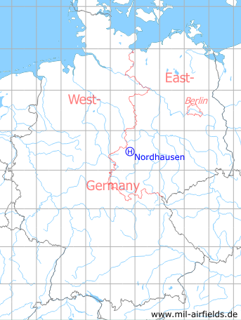
Germany during the Cold War Map
The history of the Cold War airfields: Nordhausen
Location of airfield
At the southern edge of Nordhausen.
Usage during the Cold War
Heliport of former East German border troops.
Use today
Closed.
Radio beacons
Data for the year 1990:
- LMM29: 477 "KP", 750m to THR29
Radio communication
Call sign: KAPRI (1990)
Telephone
Sondernetz/Stabsnetz S1 73495, call sign "Preßluftbohrer" (1990)
Units
Helicopter Squadron 16 (HS-16) (1990)
Links
- http://www.nva-flieger.de/index.php/nva-hs-plaetze... - nva-flieger.de - Hubschrauberplatz Nordhausen Pictures and document "Ordnung zum Fliegen auf dem Landeplatz Nordhausen" (Instruction for flying at the landing ground Nordhausen) from 1986.
Bibliography
- Banach, Bußmann, Girke, Meißner, Willisch, Freundt: "MiG, Mi, Su & Co." AeroLit - Verlag und Medienvertrieb, Berlin, 2002 - Includes some pictures of helicopters Mi-2 and Mi-8, which also shows parts of the airfield.
 Follow mil-airfields on Facebook