For historical information only, do not use for navigation or aviation purposes!
| Coordinates | N532943 E0115103 (WGS84) Google Maps |
| Former East Germany (GDR) | District of Schwerin |
| Federal state | Mecklenburg-Vorpommern (Mecklenburg-Western Pomerania) |
| Airfield Id | 3340 |
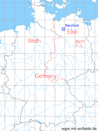
Germany during the Cold War Map
The history of the Cold War airfields: Parchim
Location of airfield
1.2 km northwest of Dargelütz.
Usage during the Cold War
Helipad 3340 for the command post of Anti-aircraft Missile Regiment 13 (FRR-13) and for Radar Batallion 43 (FuTB-43) of former East German Air Force (NVA LSK/LV).
Use today
Closed.
Runways, taxiways, aprons
Dimensions: 200 m x 100 m,
main takeoff and landing direction: 360°,
surface: Concrete,
capacity: 1 Helicopter.
main takeoff and landing direction: 360°,
surface: Concrete,
capacity: 1 Helicopter.
Telephone
Stabsnetz S1 8487-888
Airspace and procedures
Usable at day and night during good weather conditions.
Alert time: 60 minutes.
Alert time: 60 minutes.
Obstacles
Antenna P-15A: height 25 m.
Airfields in the vicinity
- 210°/9km Parchim: Airfield (Schwerin-Parchim)
- 286°/13km Tramm: Helipad 3344 (HSLP / HLP 3344)
 Follow mil-airfields on Facebook