For historical information only, do not use for navigation or aviation purposes!
| Coordinates | N544034 E0132313 (WGS84) Google Maps |
| Airfield Id | 3366 |
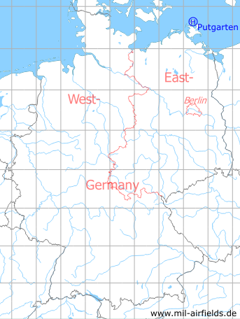
Germany during the Cold War Map
The history of the Cold War airfields: Putgarten
Location of airfield
1.9 km west of Putgarten.
Usage during the Cold War
Helipad 3366 for Radar Company 333 (FuTK-333) of former East German Air Force (NVA LSK/LV).
Use today
Closed.
Runways, taxiways, aprons
Dimensions: 60 m x 50 m,
main takeoff and landing direction: 220°,
surface: concrete,
capacity: 1 helicopter.
main takeoff and landing direction: 220°,
surface: concrete,
capacity: 1 helicopter.
Telephone
Stabsnetz S1 ü 4323-838/839
Airspace and procedures
Usable at day during good weather conditions.
Alert time: 30 minutes.
Alert time: 30 minutes.
Obstacles
Antenna:
- direction 60°, distance 200 m, height 22 m,
- direction 300°, distance 200 m, height 40 m,
- direction 350°, distance 40 m, height 15 m,
Building: direction 290°-330°, height 6 m.
- direction 60°, distance 200 m, height 22 m,
- direction 300°, distance 200 m, height 40 m,
- direction 350°, distance 40 m, height 15 m,
Building: direction 290°-330°, height 6 m.
 Follow mil-airfields on Facebook