For historical information only, do not use for navigation or aviation purposes!
| Coordinates | N512417 E0145633 (WGS84) Google Maps |

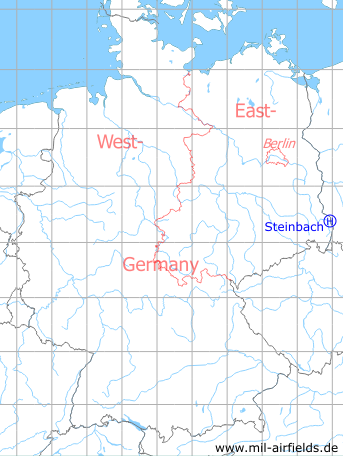
Germany during the Cold War Map
The history of the Cold War airfields: Steinbach
Location of airfield
1.5 km southwest of Steinbach.
Usage during the Cold War
Helipad 3051 for Radar Company of Signals and Air Traffic Control Battalion 15 (NFB-15) of Flight Training Wing 15 (Fliegerausbildungsgeschwader 15, FAG-15) Rothenburg of former East German Air Force (NVA LSK/LV).
Use today
Closed.
Runways, taxiways, aprons
Dimensions: 50 m x 30 m,
main takeoff and landing direction: 268°..358°,
surface: concrete,
usable without crop damage,
capacity: 1 helicopter.
main takeoff and landing direction: 268°..358°,
surface: concrete,
usable without crop damage,
capacity: 1 helicopter.
Telephone
Stabsnetz S1 9829-69-88
Airspace and procedures
Usable at day and good weather conditions.
Alert time: 60 minutes.
Alert time: 60 minutes.
Obstacles
Trees: direction 330°, height 6 m;
Areal system: height 12 m.
Areal system: height 12 m.
 Follow mil-airfields on Facebook