For historical information only, do not use for navigation or aviation purposes!
| Coordinates | N530323 E0130409 (WGS84) Google Maps |
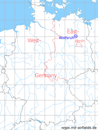
Germany during the Cold War Map
The history of the Cold War airfields: Wolfsruh
Location of airfield
1 km west of Wolfsruh.
Usage during the Cold War
Helipad 1034 for Ammunition Depot 32 (ML-32) of former East German National People's Army (NVA).
Use today
Closed.
Runways, taxiways, aprons
Dimensions: 60m x 50 m.
Main takeoff and landing direction: 203°.
Surface: Grass.
Capacity: 1 helicopter.
Main takeoff and landing direction: 203°.
Surface: Grass.
Capacity: 1 helicopter.
Telephone
Field telephone line possible.
Airspace and procedures
Usable at day during good weather conditions.
Alert time: 60 minutes.
Alert time: 60 minutes.
Obstacles
Power transmission line: direction 0°, distance 150 m;
Trees: direction 90°, distance 50 m;
Buildings: direction 270°, distance 50 m.
Trees: direction 90°, distance 50 m;
Buildings: direction 270°, distance 50 m.
Airfields in the vicinity
- 164°/7km Schönermark: Helipad 3117 (HSLP / HLP 3117)
- 135°/14km Badingen: Helipad 3109 (HSLP / HLP 3109)
- 061°/19km Annenwalde: Airfield (Templin 2, Bredereiche)
- 236°/23km Neuruppin: Air Base (Аэродром Нойруппин)
 Follow mil-airfields on Facebook