For historical information only, do not use for navigation or aviation purposes!
| Coordinates | N524427 E0135708 (WGS84) Google Maps |
| Airfield Id | 3025 |
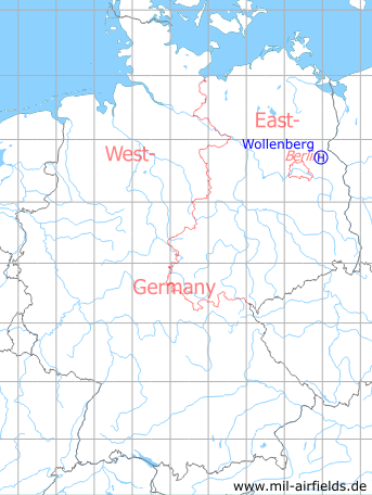
Germany during the Cold War Map
The history of the Cold War airfields: Wollenberg
Location of airfield
1.4 km north-northwest of Wollenberg
Usage during the Cold War
Helipad 3025 for Microwave Site 5 (RFB-5) of former East German Air Force (NVA LSK/LV).
Use today
Closed.
Runways, taxiways, aprons
Dimensions: 400 m x 300 m,
main takeoff and landing direction: 270°,
surface: agricultural area,
only usable with crop damage,
capacity: 1 helicopter.
main takeoff and landing direction: 270°,
surface: agricultural area,
only usable with crop damage,
capacity: 1 helicopter.
Telephone
Stabsnetz S1 24301-471
Airspace and procedures
Usable at day during good weather conditions.
Alert time: 60 minutes.
Alert time: 60 minutes.
Obstacles
Antenna: direction 90°, distance 800 m, height 30 m.
Airfields in the vicinity
- 169°/8km Prötzel: Helipad 3112 (HSLP / HLP 3112)
- 035°/14km Altglietzen: Airfield (Alt-Glietzen)
- 303°/15km Spechthausen: Helipad 1026 (HSLP / HLP 1026)
- 226°/17km Werneuchen: Air Base (Аэродром Вернейхен (ГДР))
- 188°/18km Strausberg: Airfield
- 308°/19km Eberswalde: Helipad 1036 (HSLP / HLP 1036, Eberswalde-Finow)
- 127°/20km Altfriedland: Highway Strip planned
- 299°/20km Finow: Air Base (Eberswalde-Finow, Аэродром Финов)
- 255°/21km Albertshof: Airfield
 Follow mil-airfields on Facebook