For historical information only, do not use for navigation or aviation purposes!
| Coordinates | N522727 E0092551 (WGS84) Google Maps |
| Location indicator | DEWU (195x), EDNW (196x-199x), ETNW (199x-) |
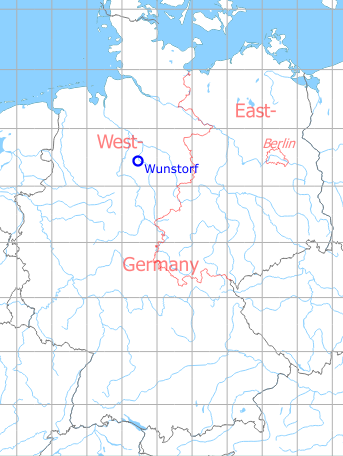
Germany during the Cold War Map
The history of the Cold War airfields: Wunstorf
Location
Federal State of Niedersachsen (Lower Saxony).
During World War II
Usage until 1945
Luftwaffe airbase (Fliegerhorst).
During the Cold War
Situation
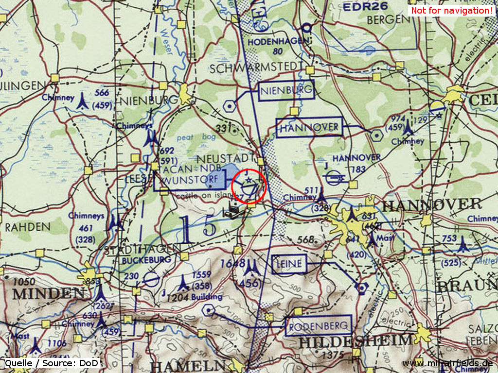
Wunstorf Air Base on a map of the US Department of Defense from 1972 - (ONC E-2 (1972), Perry-Castañeda Library Map Collection, University of Texas at Austin /PCL MC/)
In 1948
Radio beacons
- NDB: 450 "WB"
In the 1950s
Radio beacons
- NDB: 338 or 419 "WF", at field
In the 1980s
Runways
- 08/26: 1882 m x 45 m Asphalt / Concrete
- 08/26: 1080 m x 50 m Grass
- 03/21: 1704 m x 47 m Asphalt / Concrete
Radio beacons
- NDB: 419 "WUN", 263° / 0.5 NM to field
- TACAN: CH 116 "WUN", at field
- ILS 26: 109.7 "WUN"
Airfields in the vicinity
- 230°/31km Bückeburg: Airbase (RAF Bückeburg)
 Follow mil-airfields on Facebook