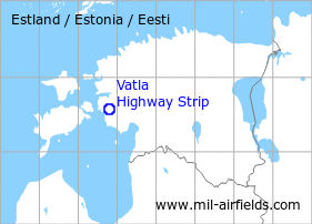
Vatla: Highway Strip
For historical information only, do not use for navigation or aviation purposes!
| Coordinates | N583359 E0234748 (WGS84) Google Maps |
| Elevation | 75 ft |
The history of the Cold War airfields: Vatla
General
Vatla is located in the west of Estonia. During the Cold War, a section of a road 3,5 km east of Vatla was prepared for the use by military aircraft.
During the Cold War
Situation
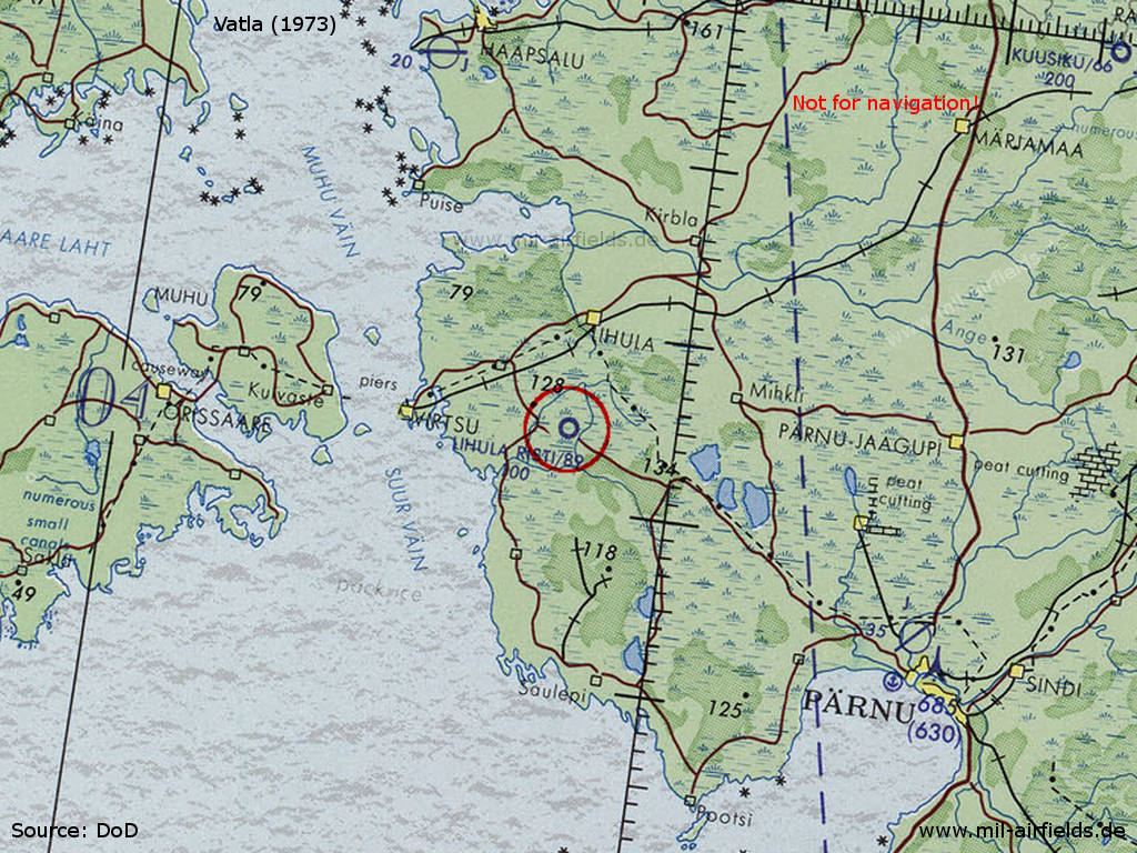
Vatla Highway Strip on a map of the US Department of Defense from 1973
Source: ONC D-3 (1973), Perry-Castañeda Library Map Collection, University of Texas at Austin /PCL MC/
Runways
- 10/28: ca. 2400 m
Installations
Wide road; a large paved apron at the western end south of the road; an unpaved apron at the eastern end north of the road.
Today
Use
Closed.
Airfields in the vicinity
- 335°/42km Haapsalu: Air Base (Ungru, Kiltsi, Аэродром Хаапсалу)
- 112°/43km Pärnu: Air Base (Аэродром Пярну)
- 116°/45km Pärnu: Seaplane Station
 Follow mil-airfields on Facebook