For historical information only, do not use for navigation or aviation purposes!
| Coordinates | N522825 E0132406 (WGS84) Google Maps |
| Elevation | 164 ft |
| Location indicator | DDTF (195x), EDBB (196x-1995), EDDI (1995-2008) |
Germany during the Cold War Map
The history of the Cold War airfields: Berlin-Tempelhof Airport
Contents
Page 1: From the beginnings until 1945
Page 3: Tempelhof Airport: The 1950s
Page 6: Berlin Tempelhof Airport today - documentation; Links and references ← you are here
Today
Use
The airport was closed in 2008. The site is located in today's Berlin districts of Tempelhof-Schöneberg and Neukölln. The monumental building complex, which is about 1.2 km long, is a listed building, is used for events and can be visited as part of guided tours. The former airfield with its runways and taxiways has been opened to the general public for leisure activities in 2010 as an inner-city park under the names "Tempelhofer Freiheit" and later "Tempelhofer Feld". There are several access points from Tempelhofer Damm, Columbiadamm and Oderstraße in Neukölln.
Overview
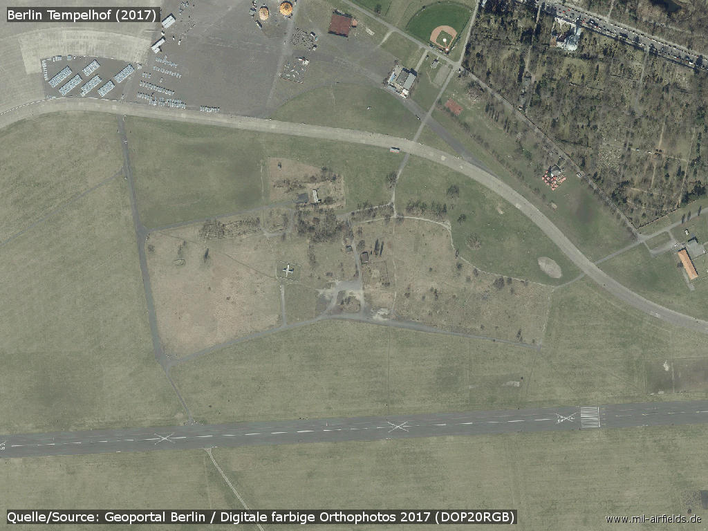
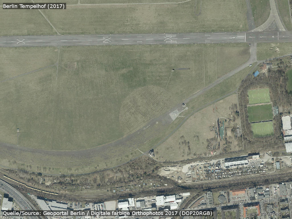
Aerial views 2017
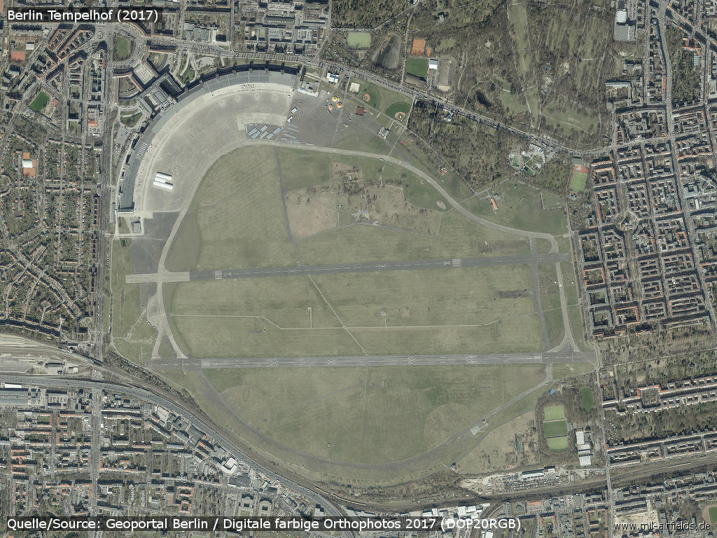
Aerial view 2017 - The semicircular square in the upper left is the Platz der Luftbrücke with the Berlin Airlift Monument.
Source: Geoportal Berlin
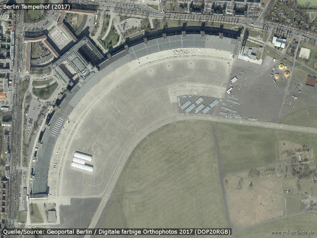
Former terminal building from above, designed by architect Ernst Sagebiel
Old airfield
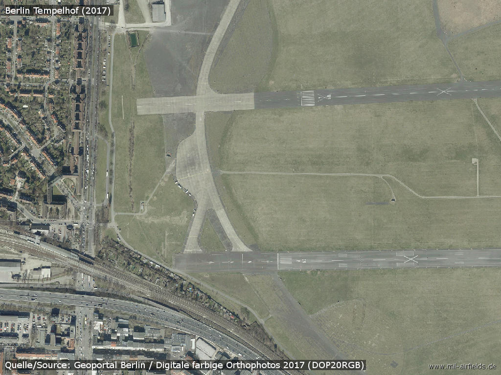
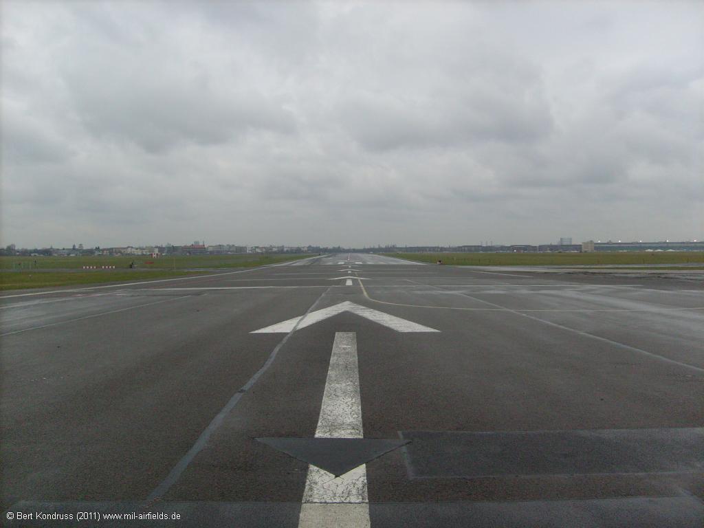
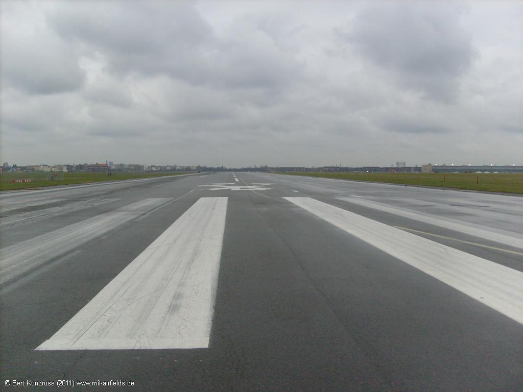
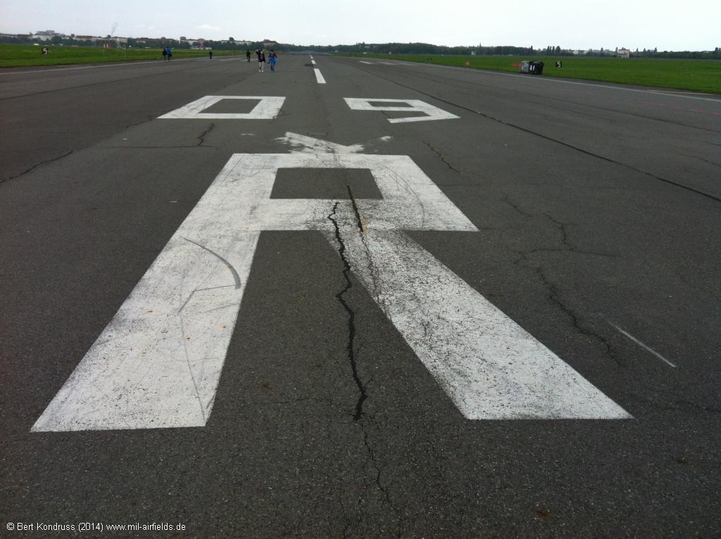
Runways 09R, 09L
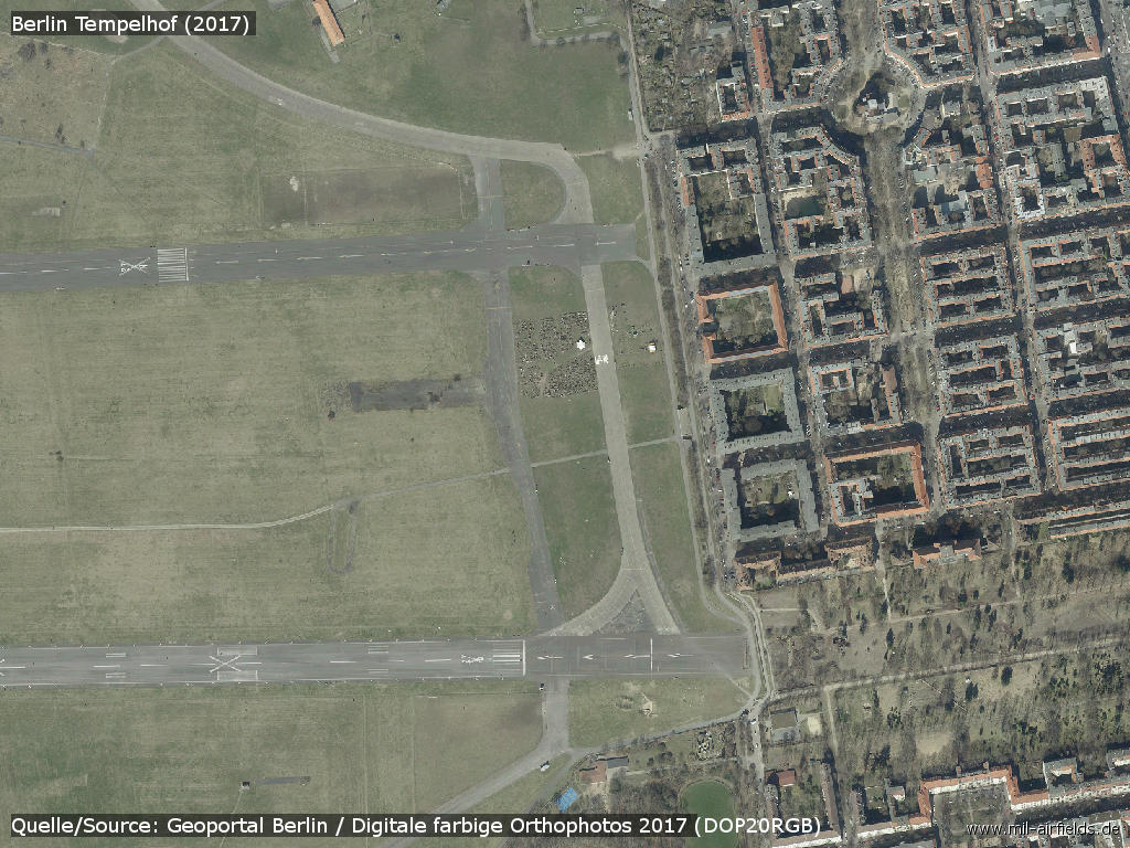
Runways 27R, 27L on the eastern side in Neukölln - Along the area runs the Oderstraße.
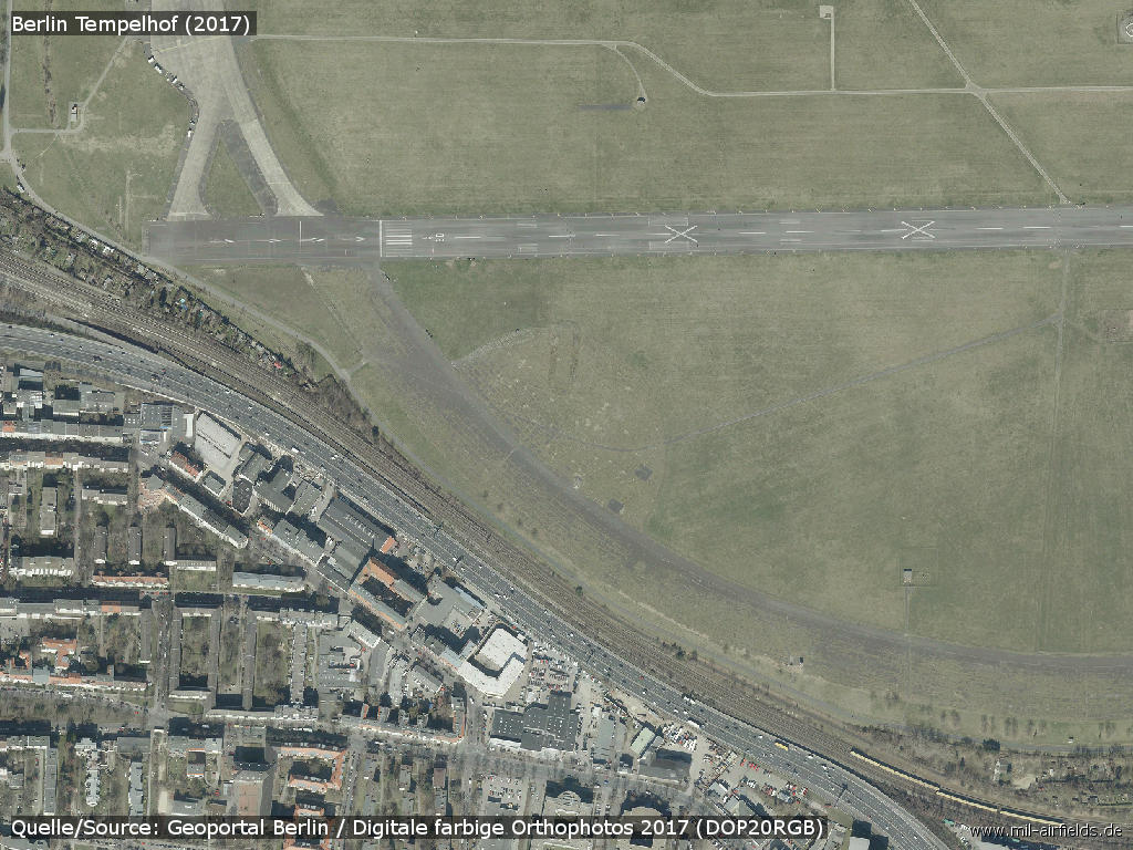
Southwestern take-off head - The Ringbahn (suburban railroad) and Berlin's A100 city autobahn run around the site.
Southeastern take-off head
Images
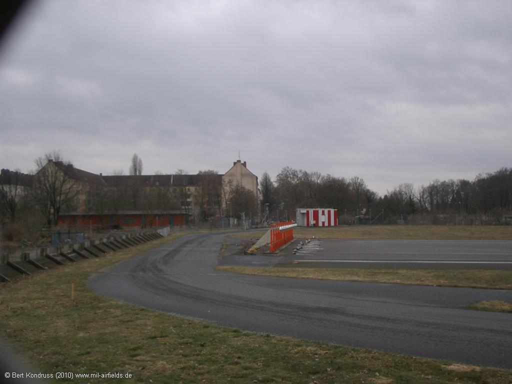
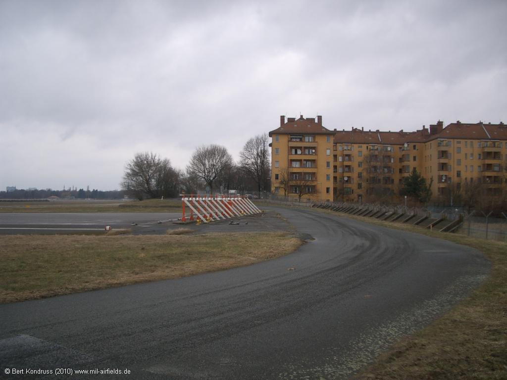
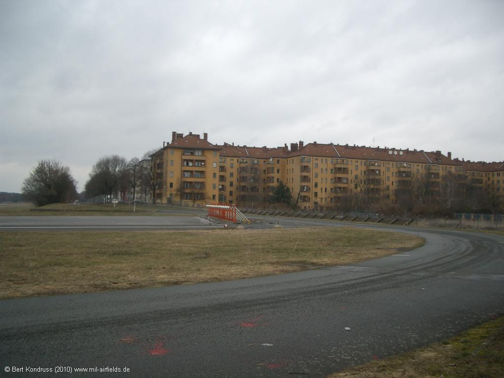
Pictures of Berlin Tempelhof Airport from 2010
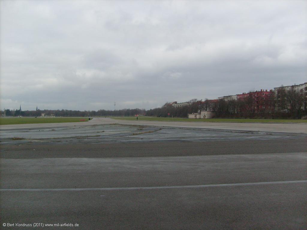
The airport approx. 2 years after closing. It is not yet allowed to walk on the site.
Former runway 27R - Oderstraße in Berlin-Neukölln, looking west.
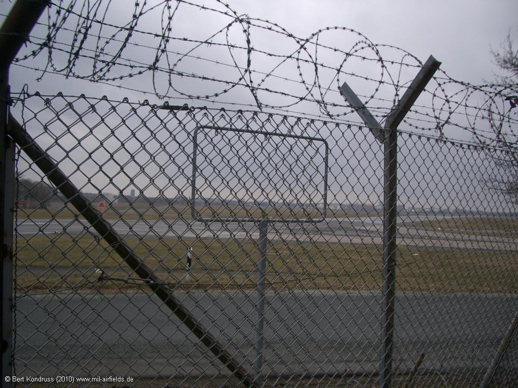
The signs "Security Area" have been removed
There is a fence across the former runway 09R/27L
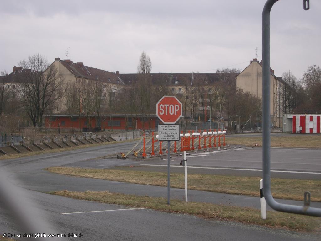
Sign: "Wait here for air traffic. Pass approach sector without stopping."
Former localizer for the instrument landing system of runway 09R
Localizer from behind
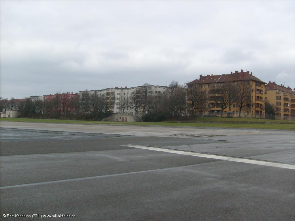
Buildings at the Oderstraße street
Berlin Tempelhof Airport pictures from 2011
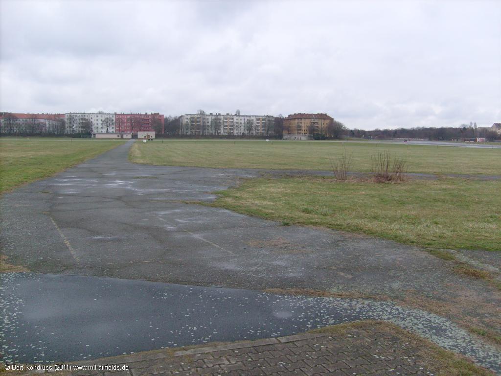
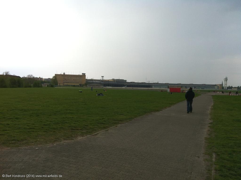
The former airfield site is now open to visitors.
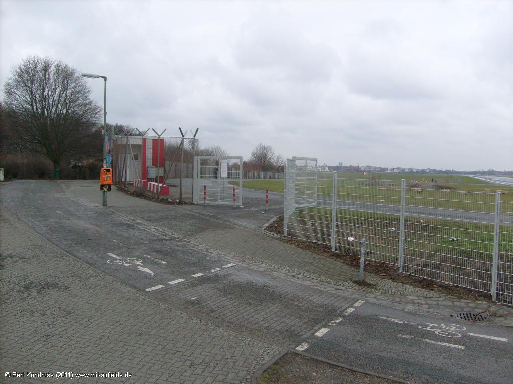
The gate to the Tempelhofer Feld is open
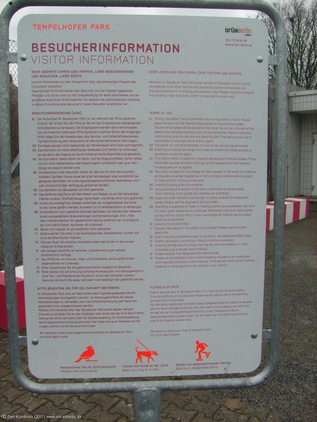
Tempelhofer Park Visitor Information
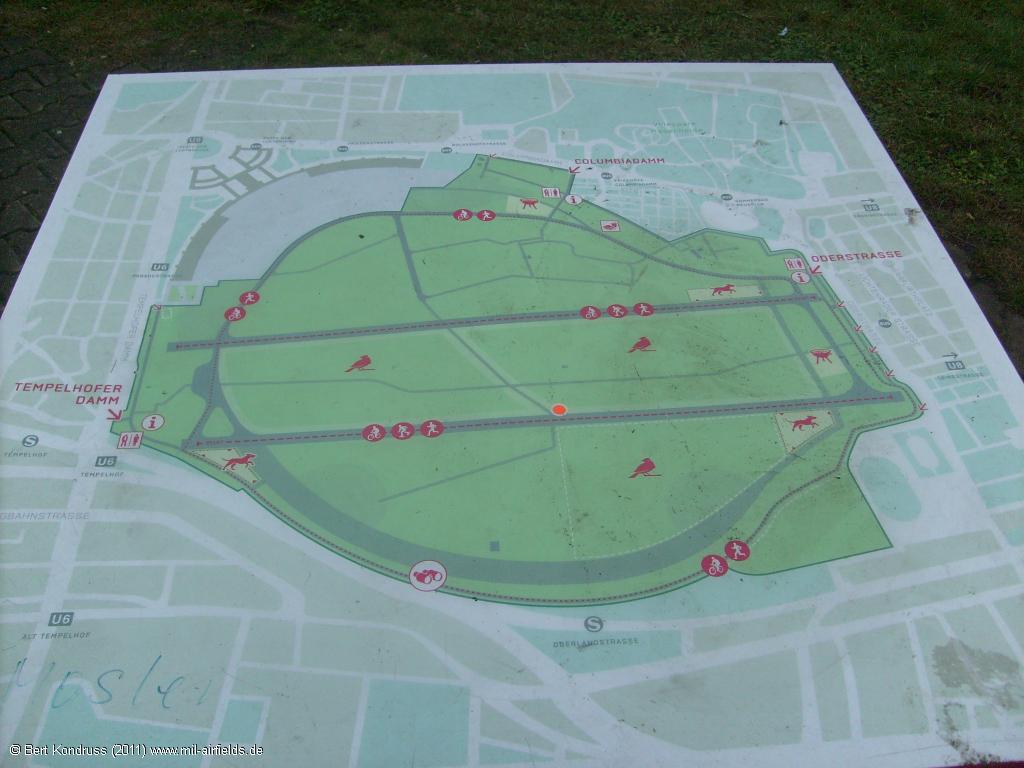
Map
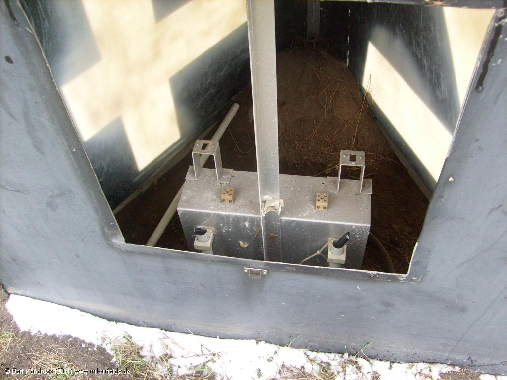
Localizer for instrument landing system runway 09R
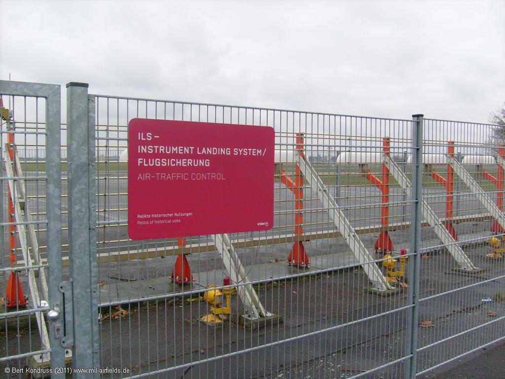
The antenna is fenced in and explained
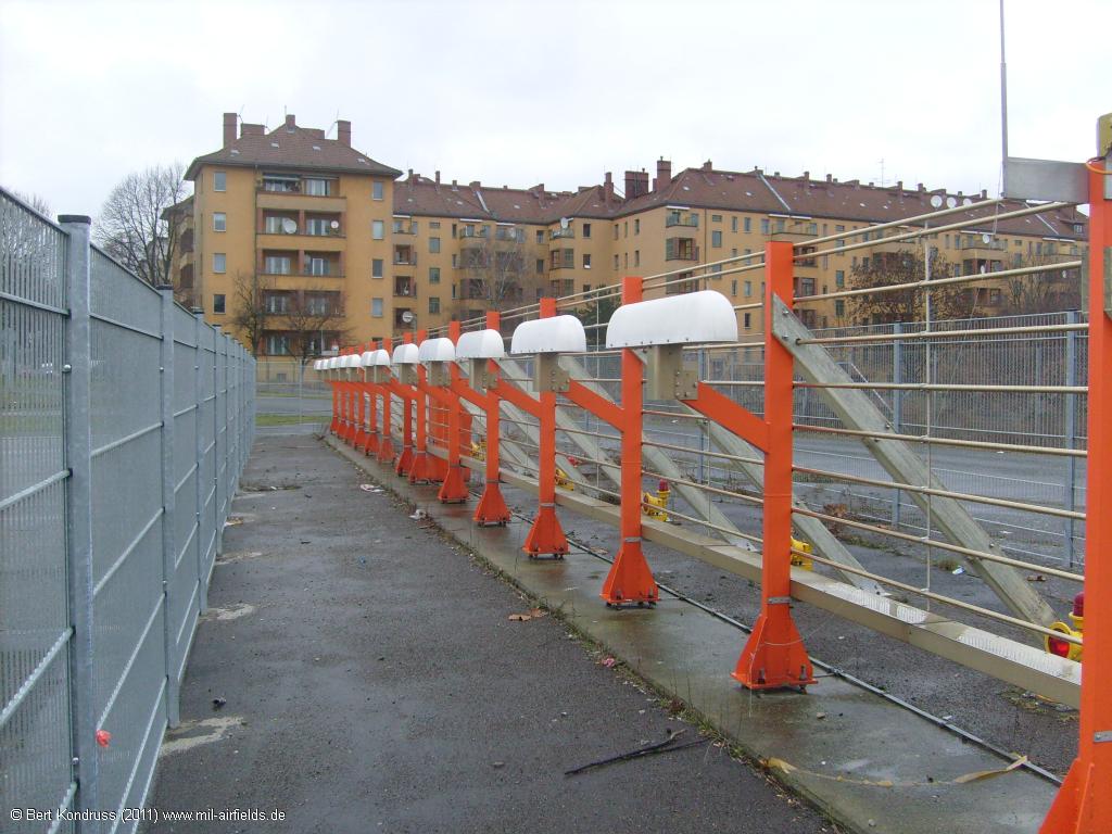
Localizer
Runway 27L
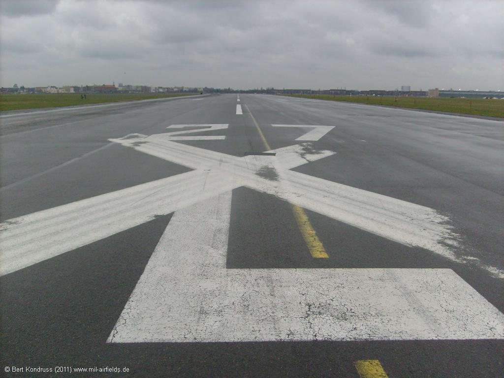
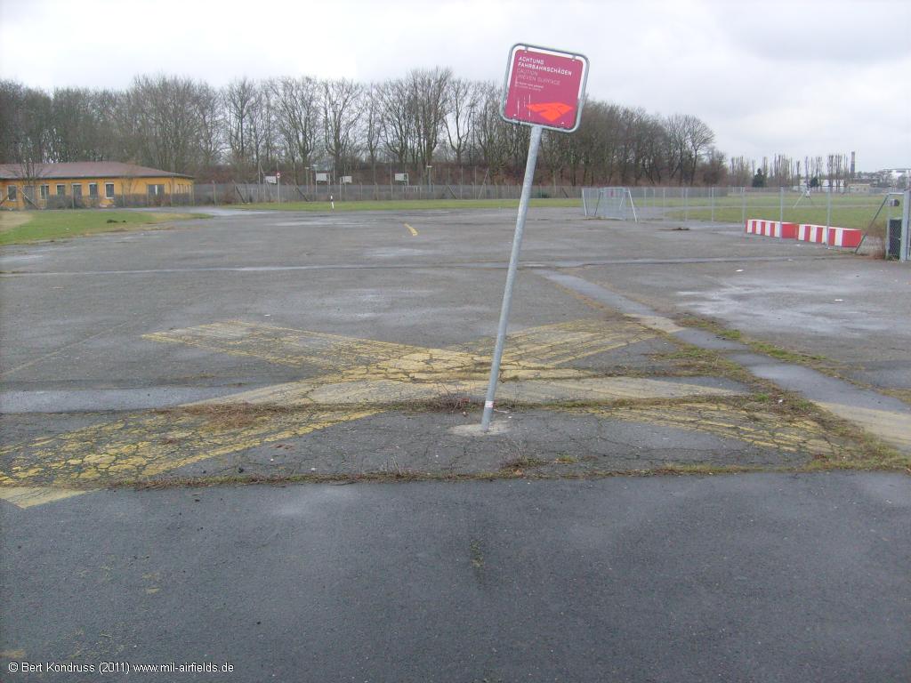
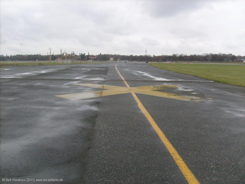
The runway is marked as closed by white crosses
Closed runway
View of the localizer
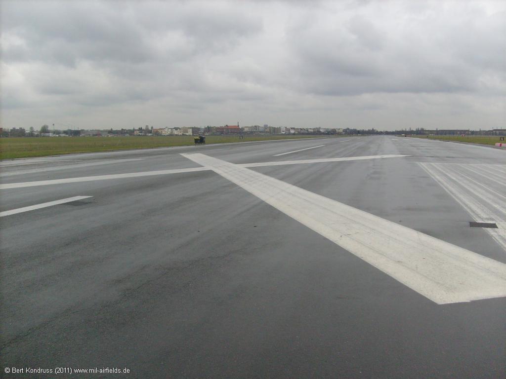
Intersection of taxiway East I
Taxiway East I, looking north
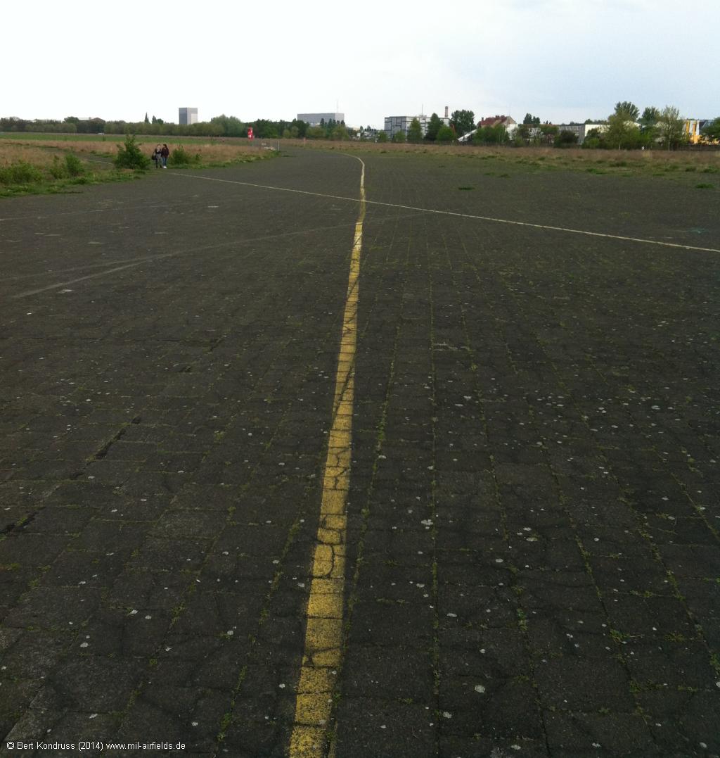
The taxiway to the south was already closed in earlier times.
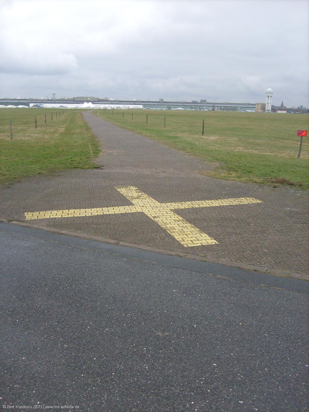
Closed path
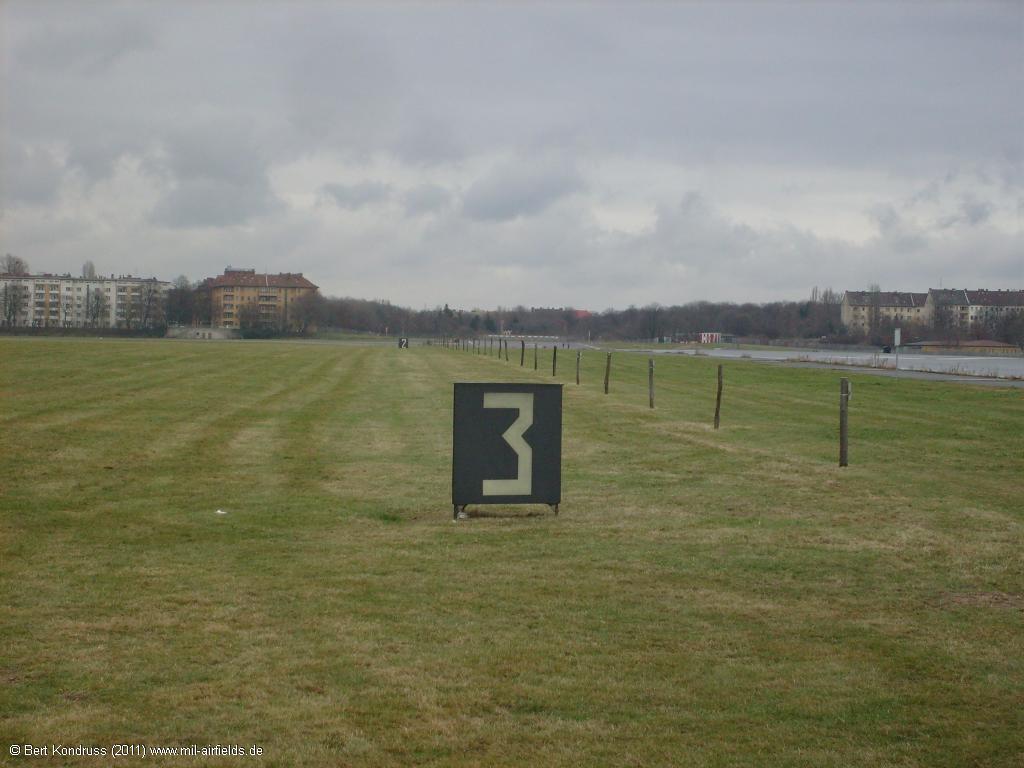
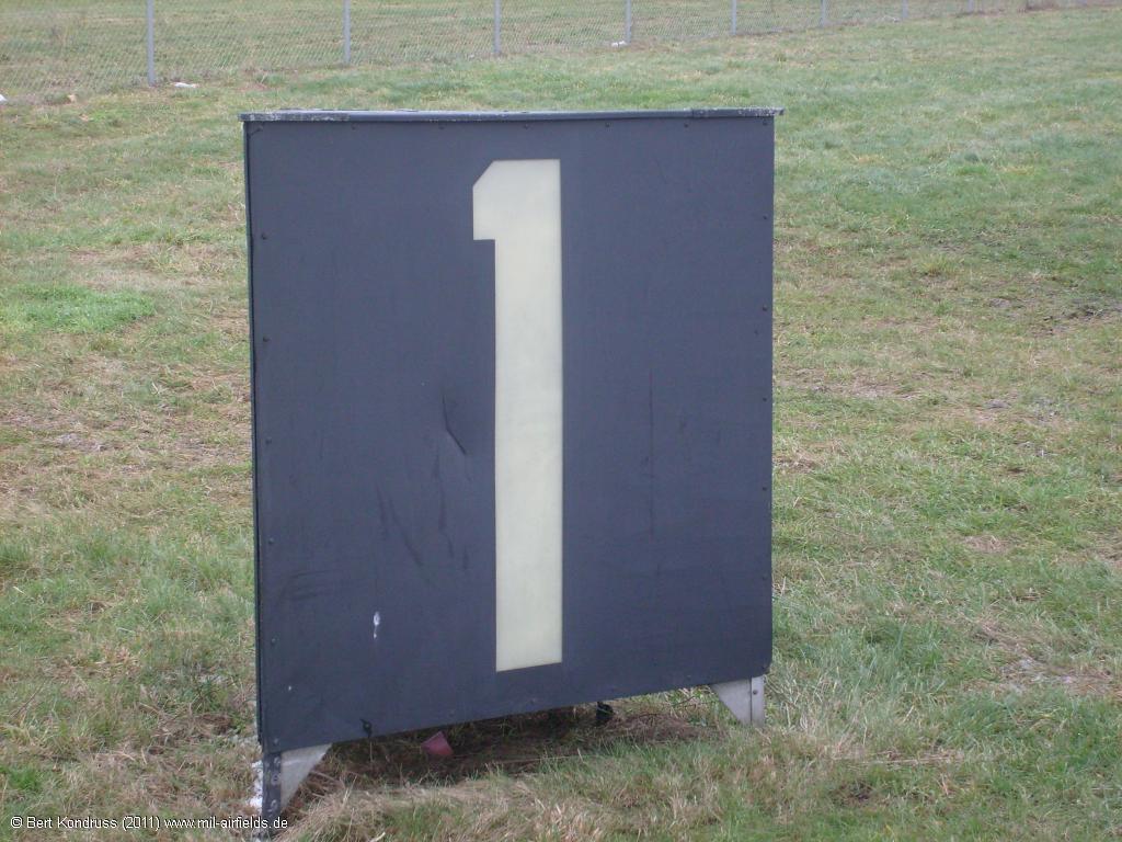
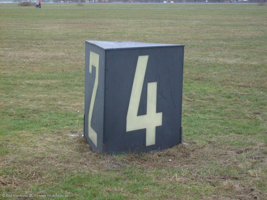
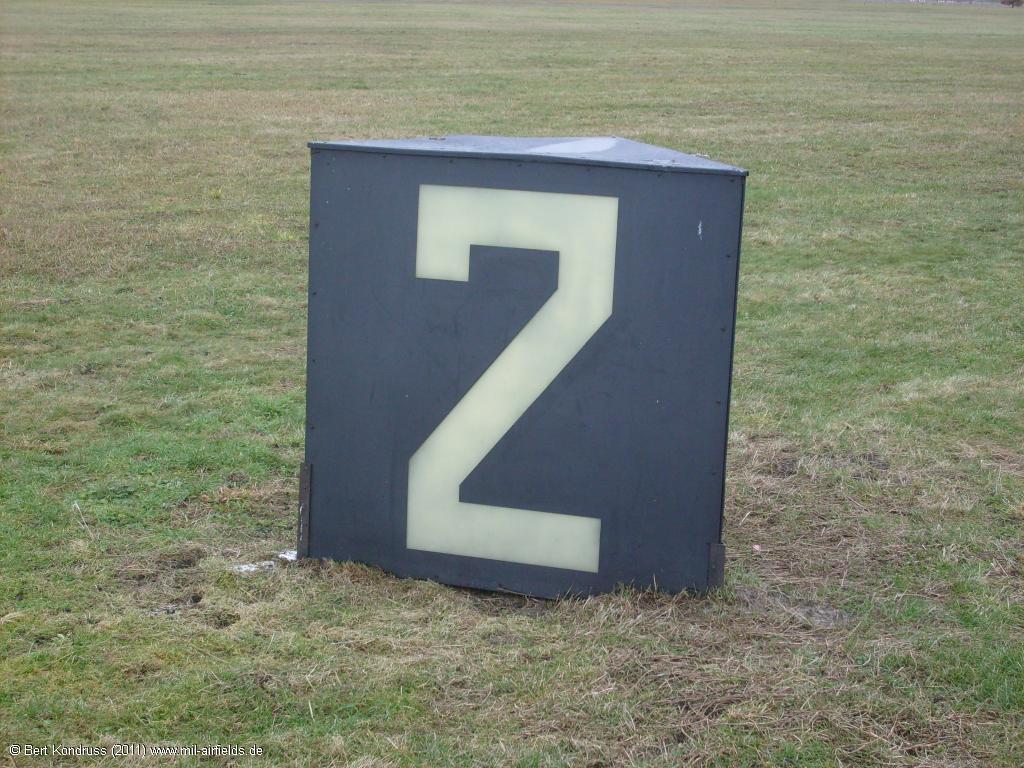
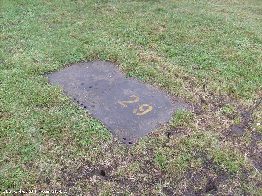
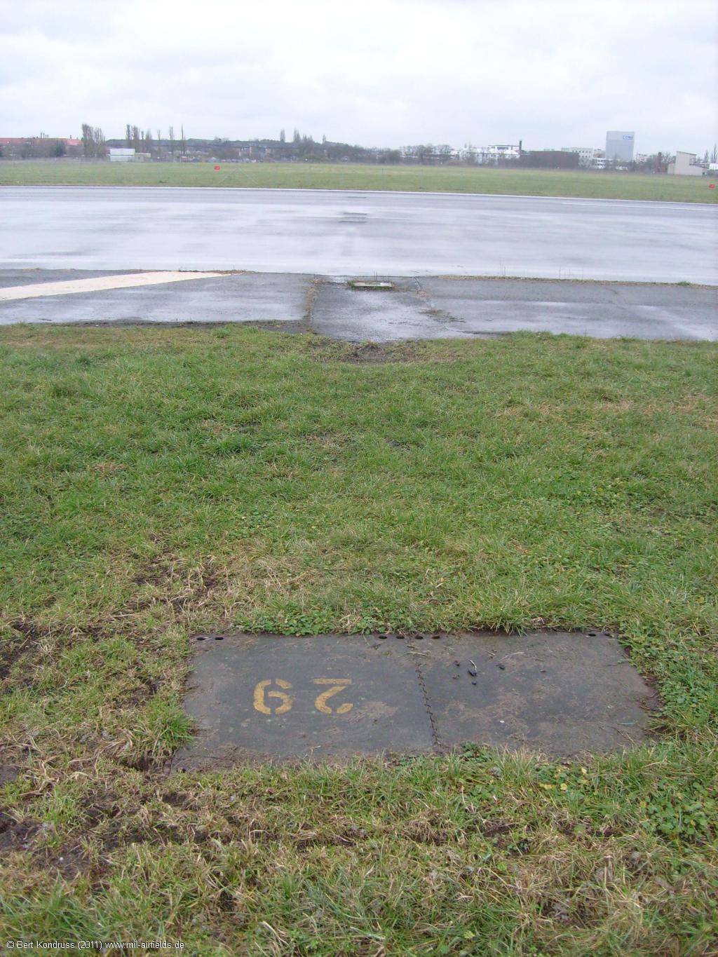
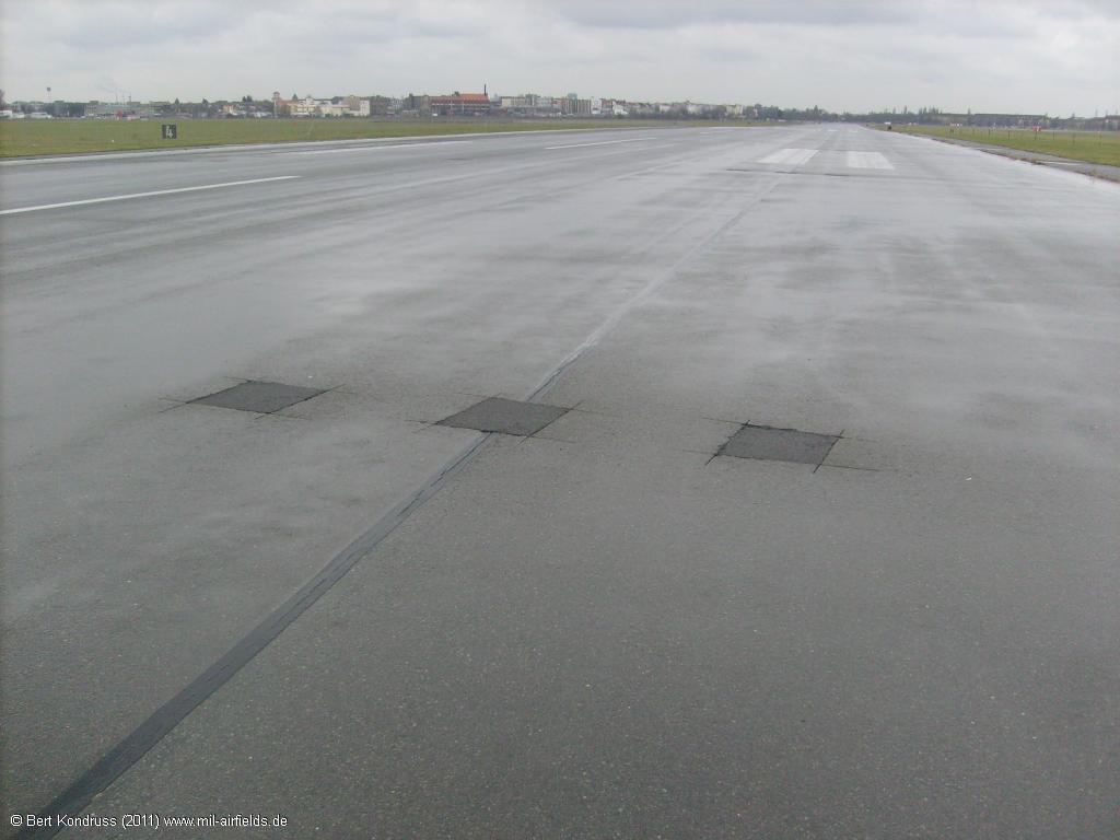
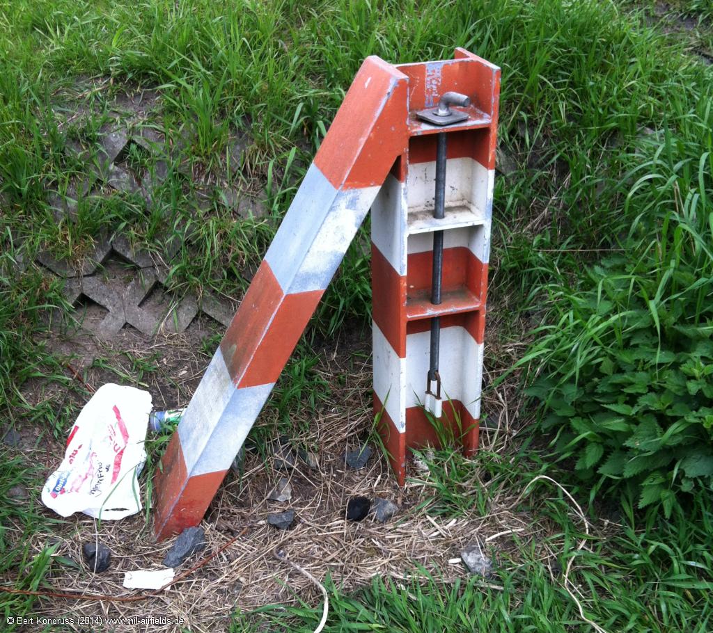
Runway distance reamining signs indicate the remaining runway length in 1,000 feet intervalls. - Here, 3,000 feet are remaining
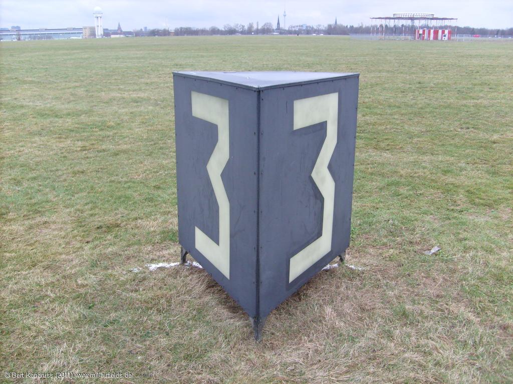
3,000 feet in both directions
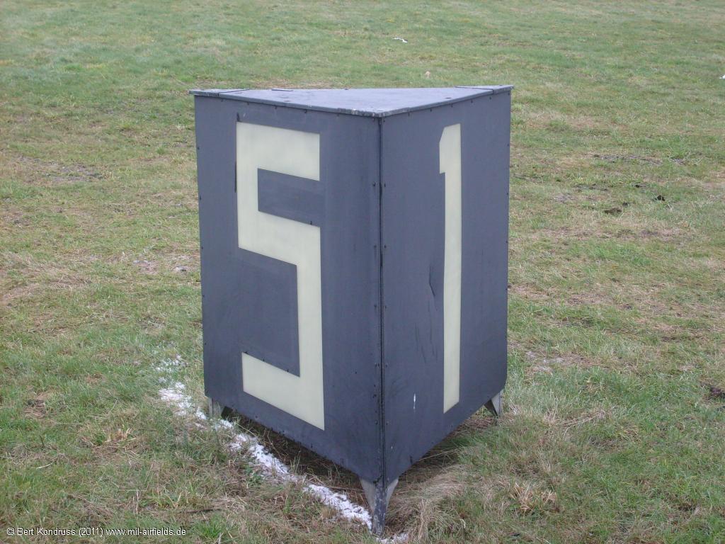
5,000 feet in one direction, 1,000 feet in the other.
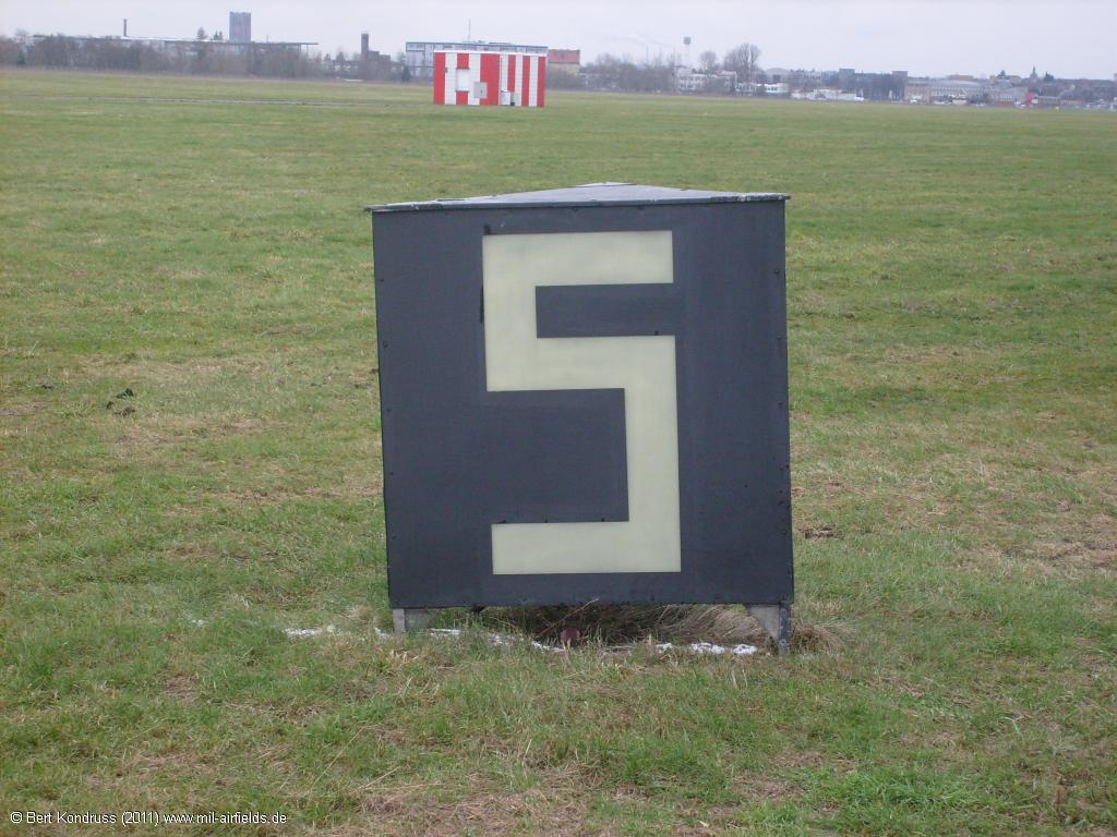
2,000 feet in one direction, 4,000 feet in the other.
The inside
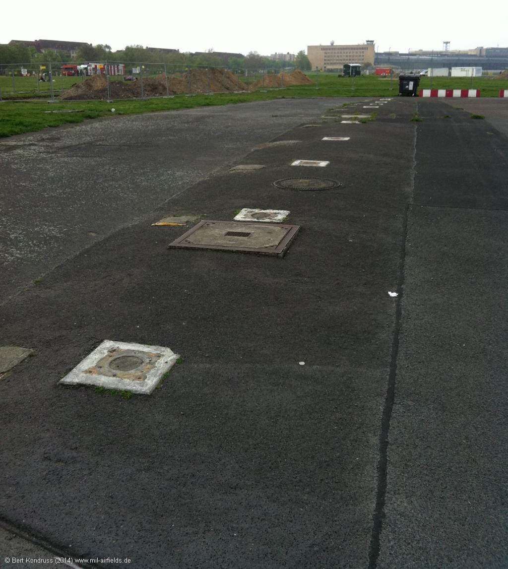
Duct for runway lighting
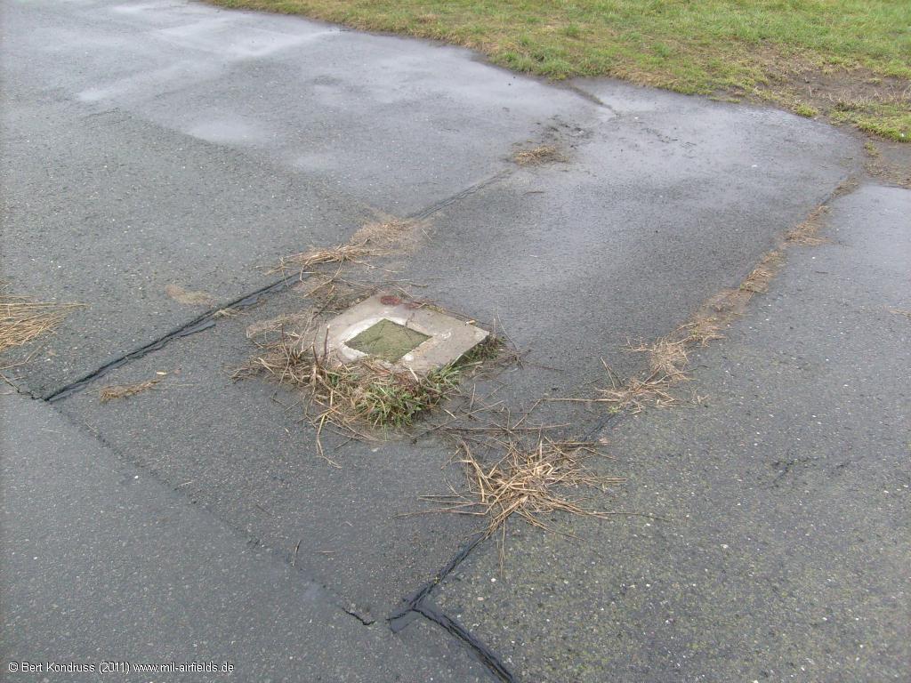
Former runway edge light
The touchdown zone lighting has been removed
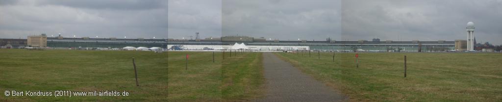
The approx. 1.2 km long airport building.
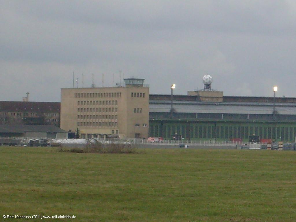
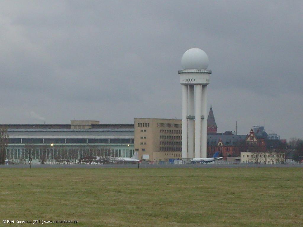
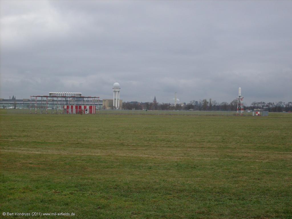
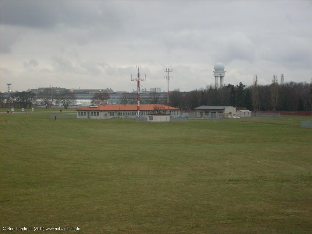
Control tower
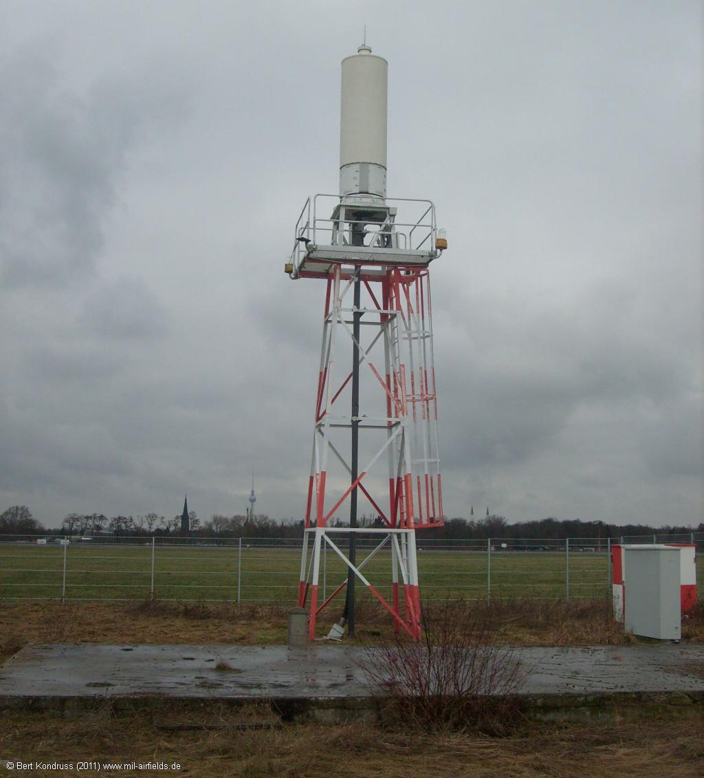
Radar tower with the radar RRP 117
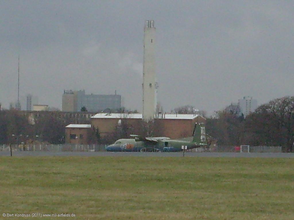
Aircraft
Former VORTAC radio beacon - Left is the VOR, right the TACAN.
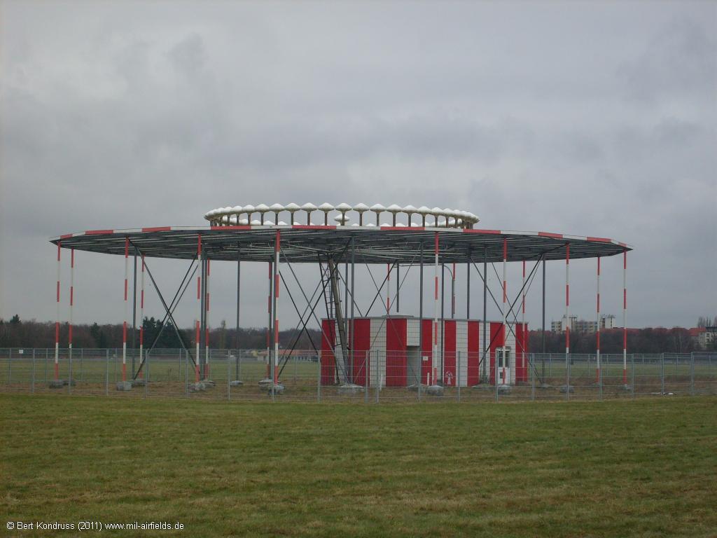
VOR radio beacon
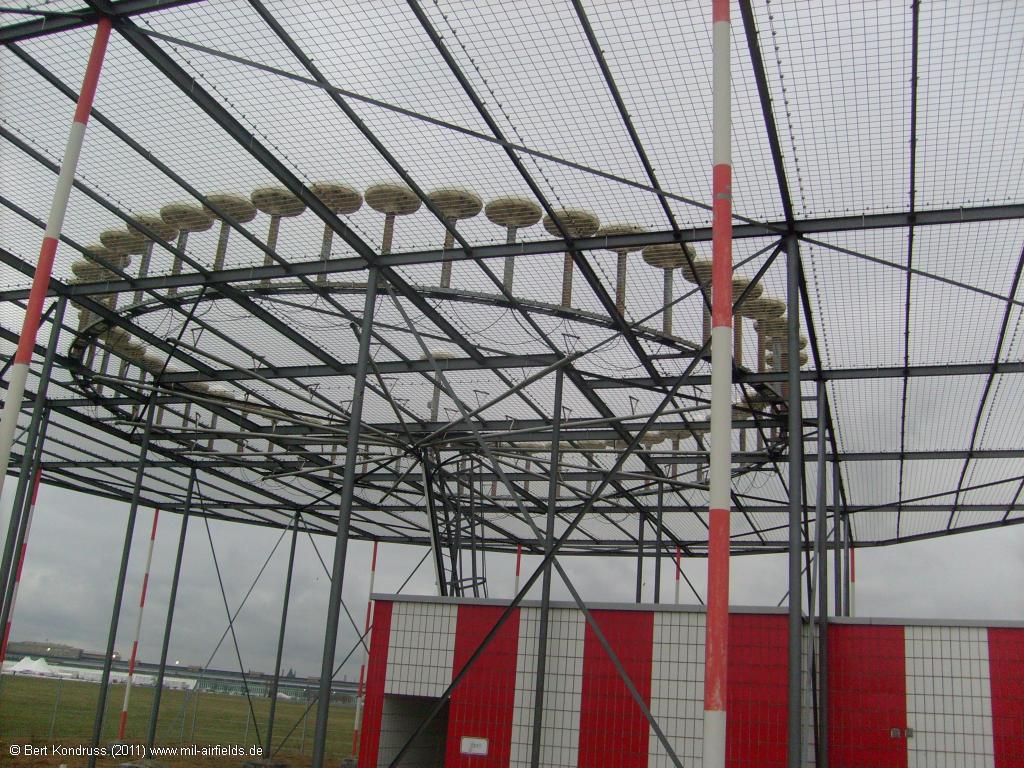
Tempelhof VOR
TACAN
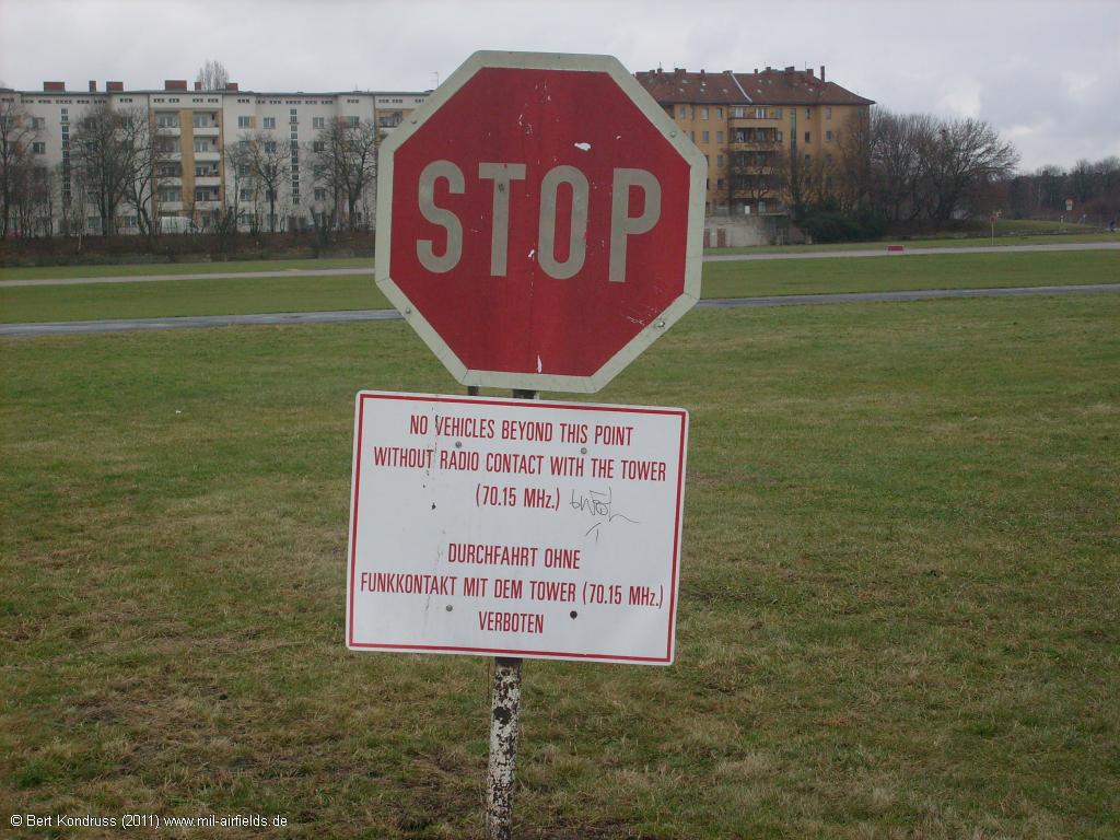
No Vehicles beyond this point without contact with the tower (70.15 MHz)
Taxiway East I parallel to Oderstraße in Berlin-Neukölln
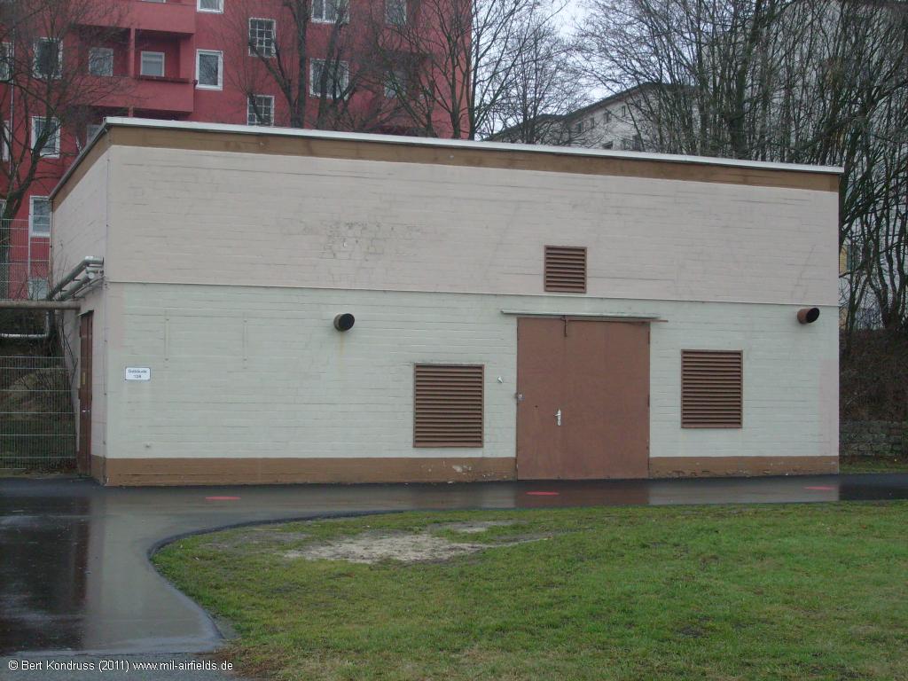
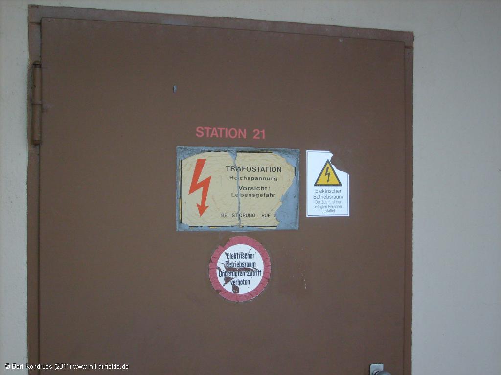
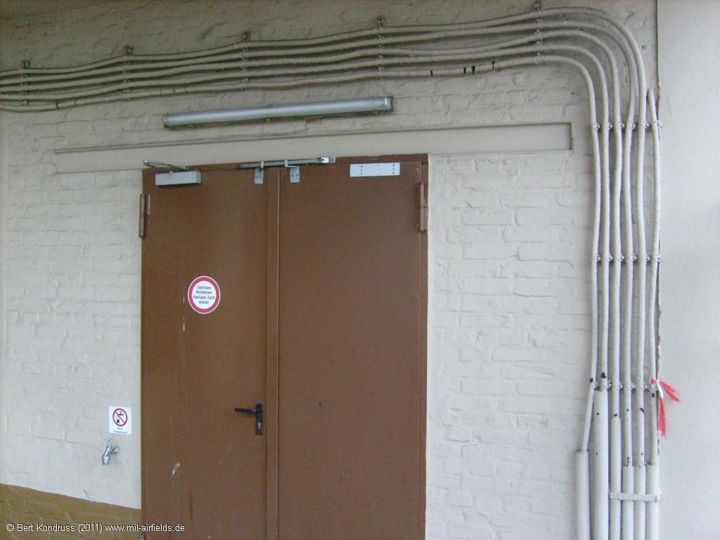
Transformer building
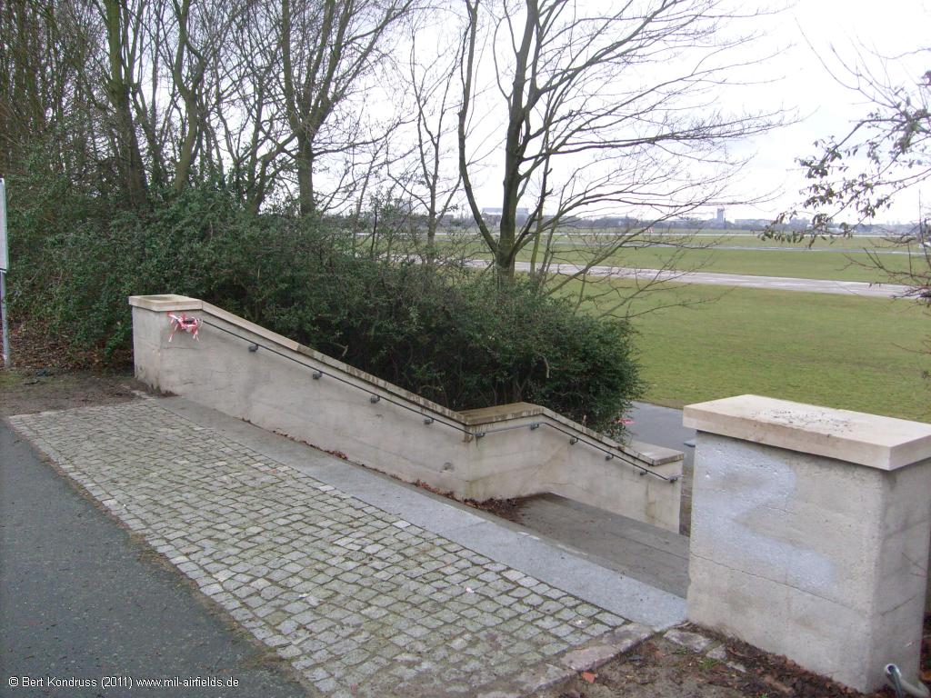
Staircase
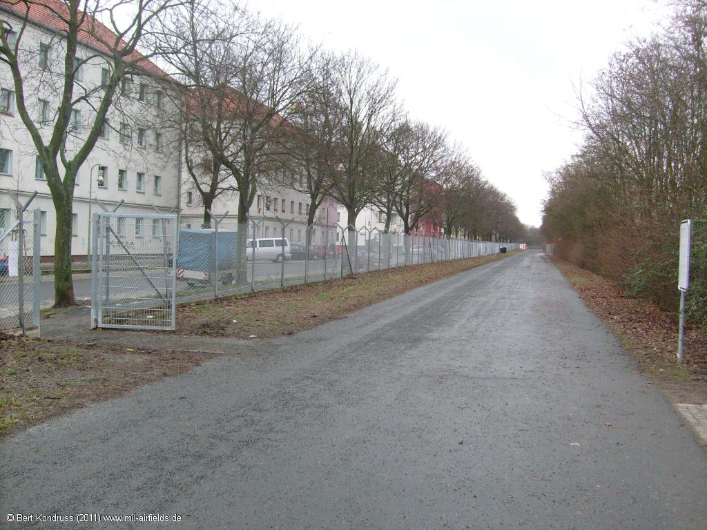
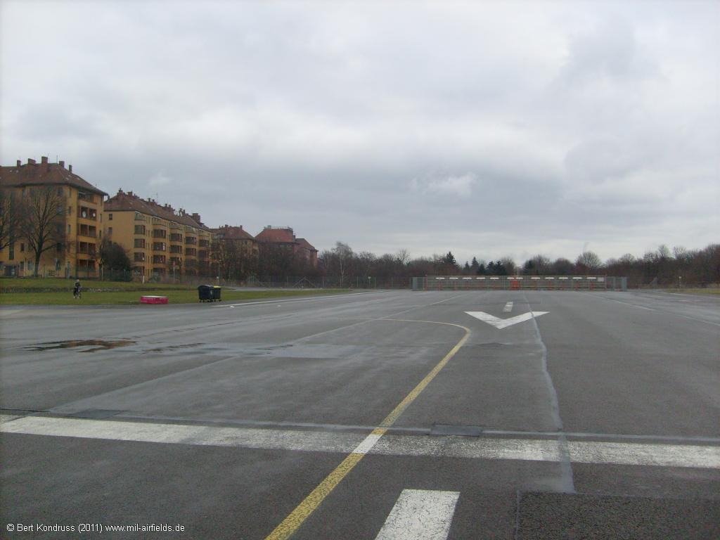
Gate to Tempelhofer Feld at Oderstraße
Closed taxiway
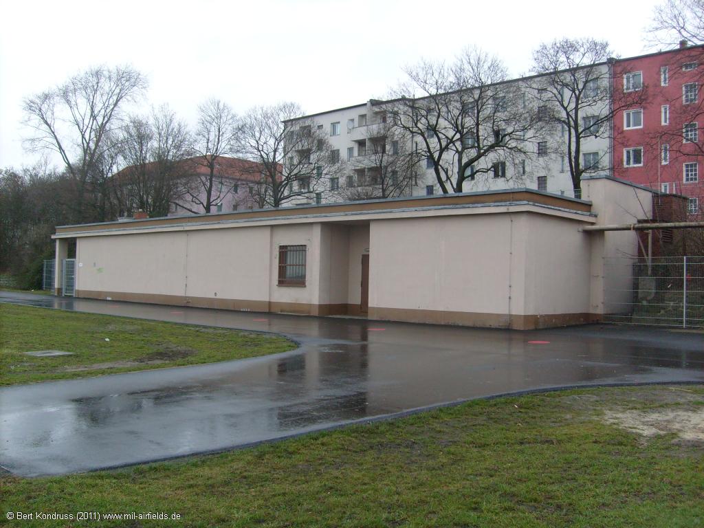
Building
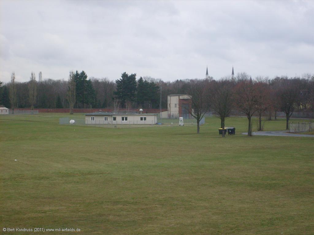
Meteorological station
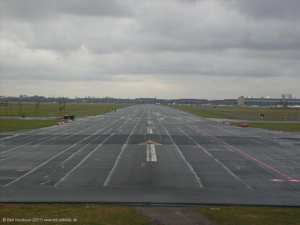
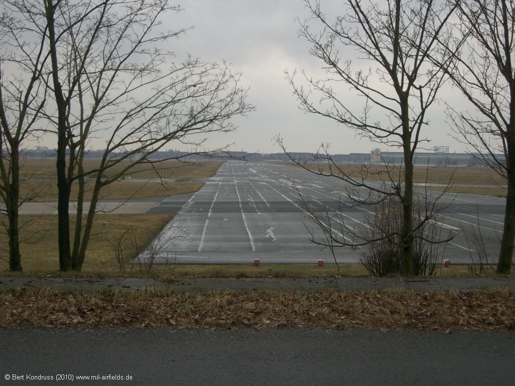
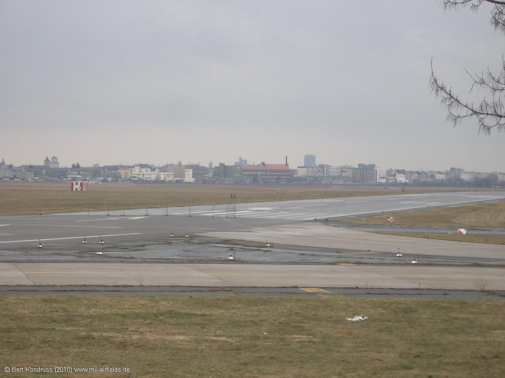
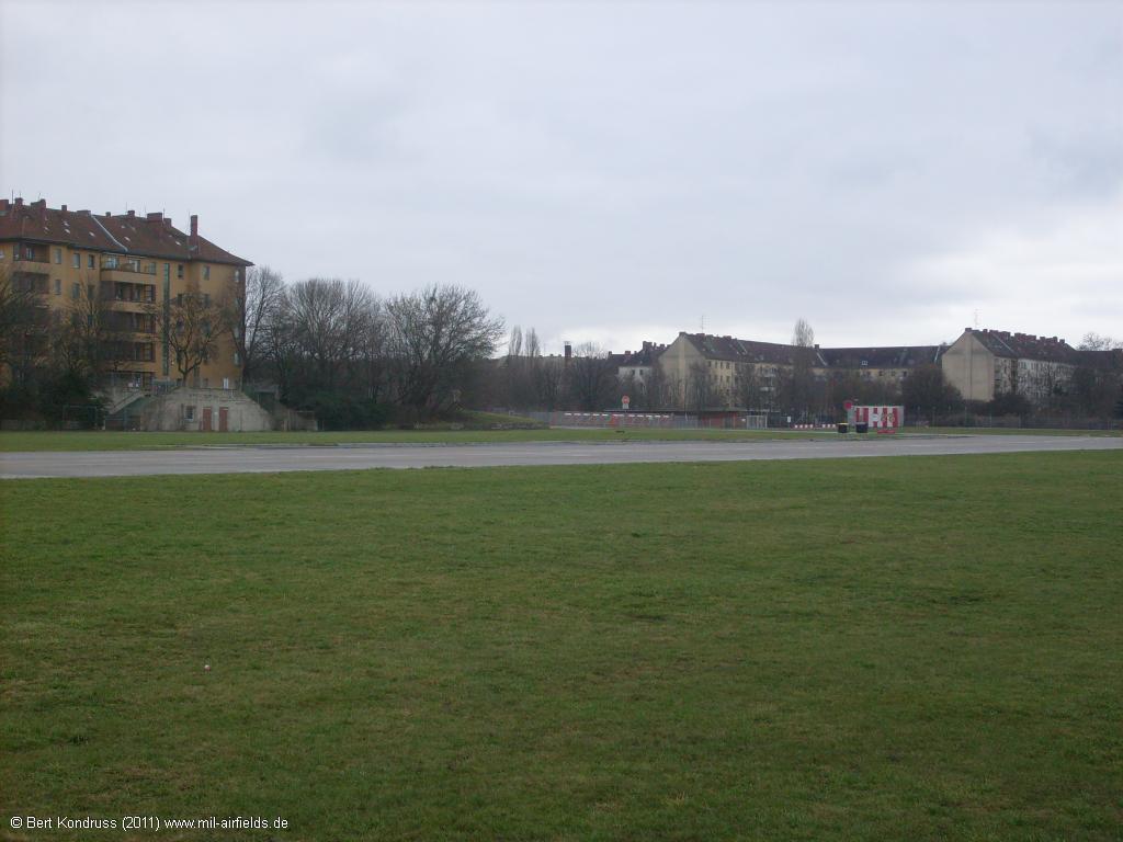
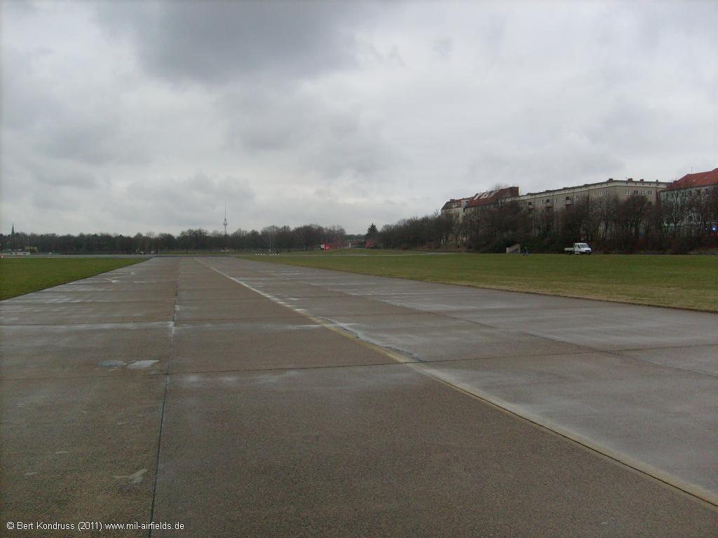
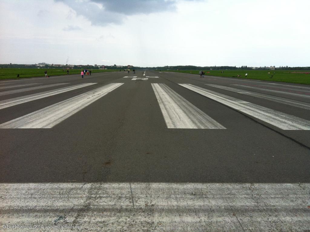
Runway 27R - Viewing west.
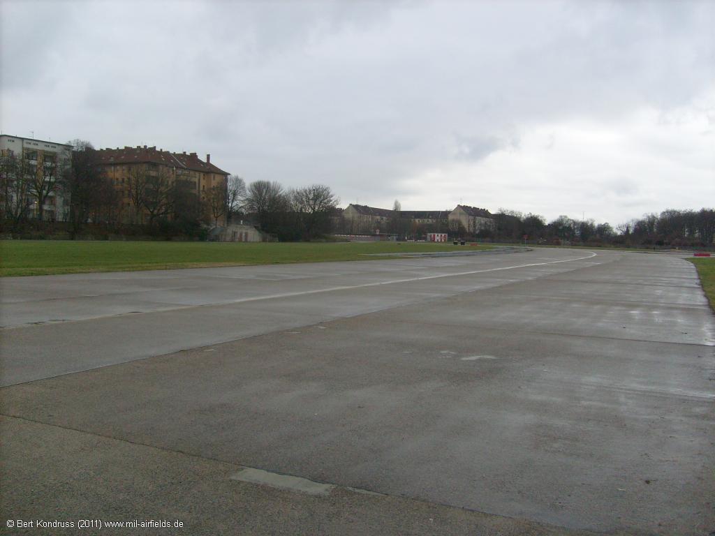
Former Berlin Tempelhof Central Airport: Pictures from 2014
The pictures were taken on the western side of the airport.
Main airport building
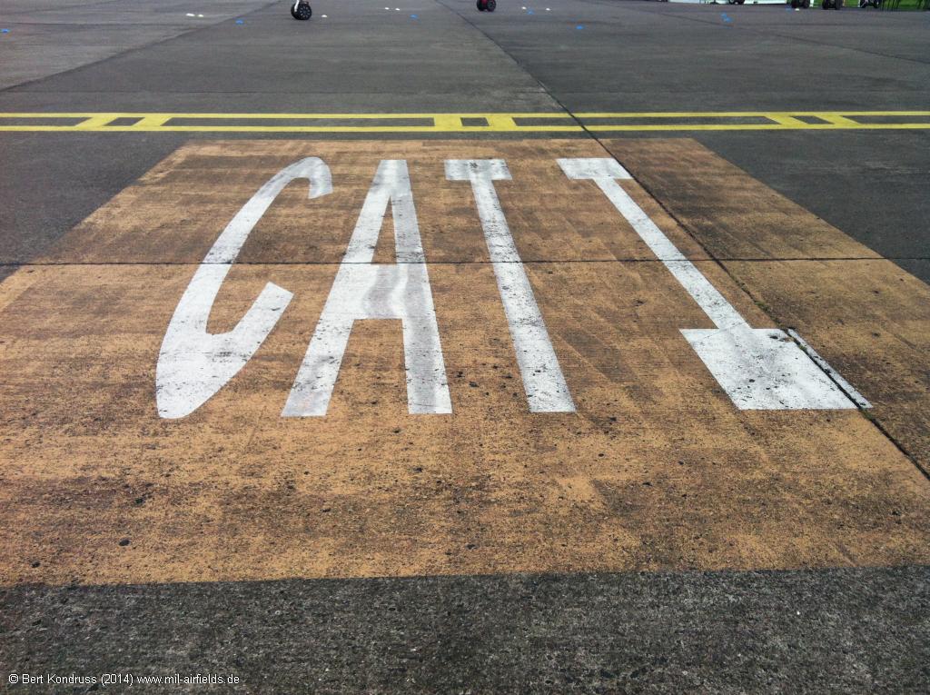
CAT I Holding

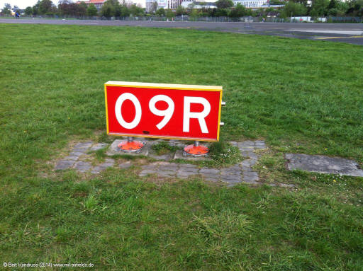
Runway 09R
Relics of the runway lights
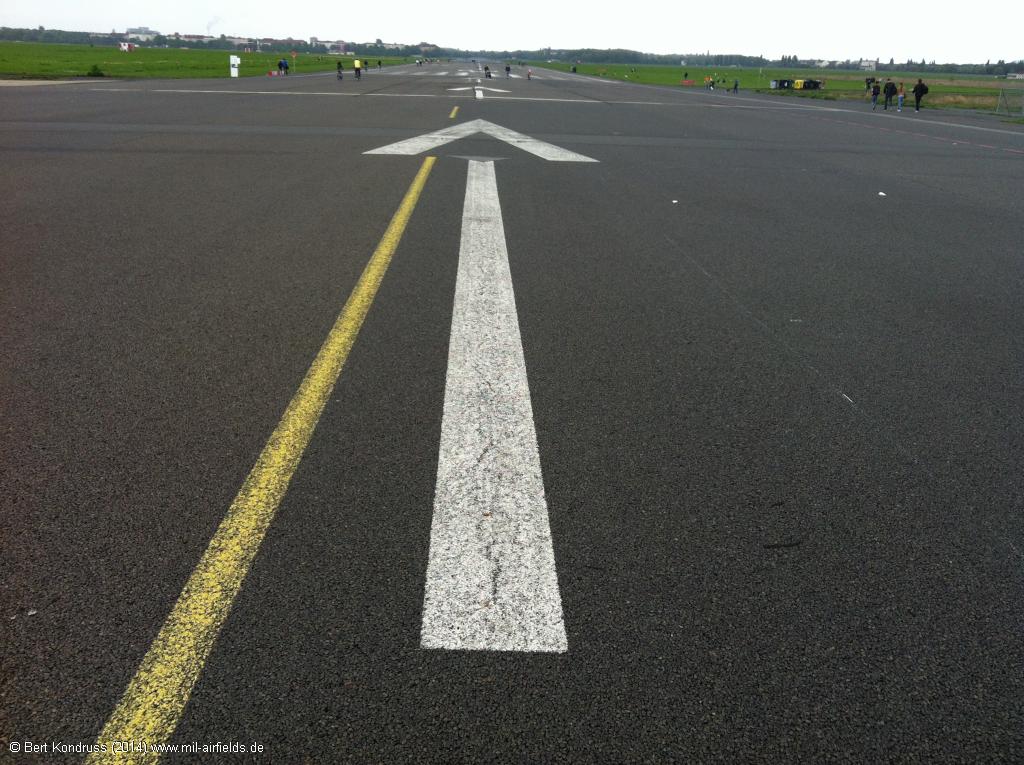
Arrows to the touch-down point
Old take-off platforms in the south
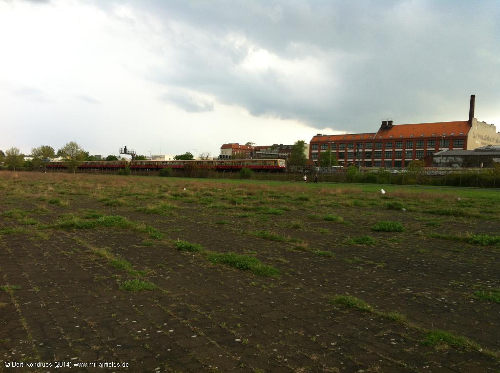
Take-off platforms - In the background, there is a S-Bahn train (suburban railway) on the southern Ringbahn line.
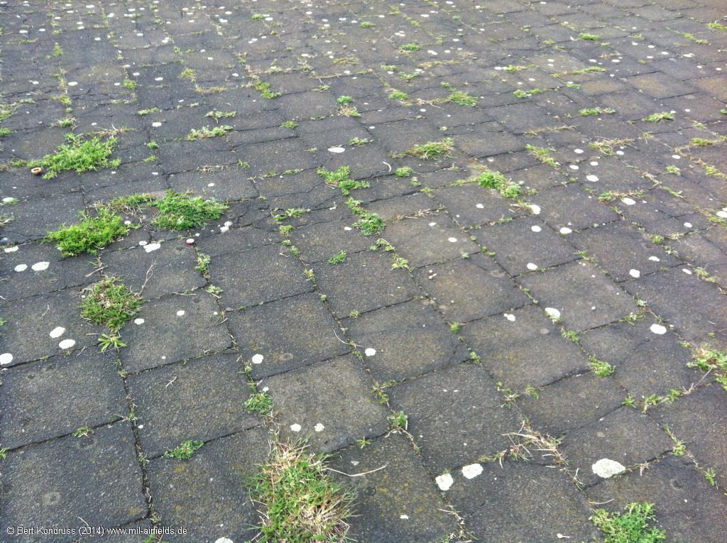
Surface of the take-off platform
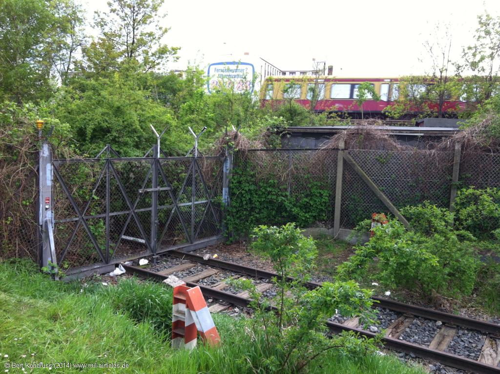
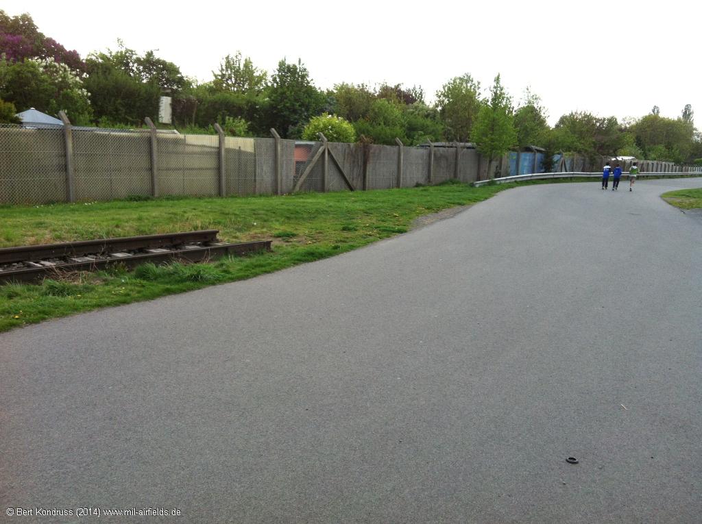
Gate of the railway siding - The railroad spur begins at Berlin Hermannstrasse station, first runs on the south side of the Ringbahn, then crosses it and continues on its north side to enter the airport site through this gate on the southwest side.
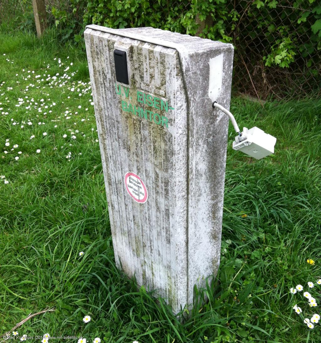
U.V. Eisenbahntor
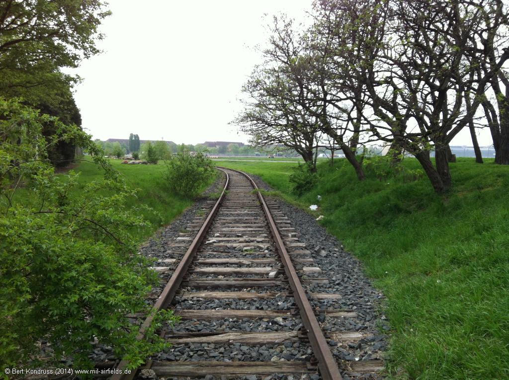
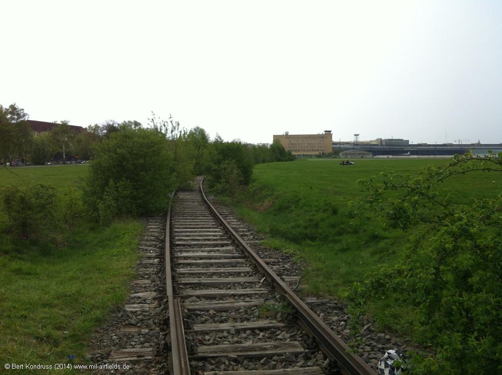
Railway track - This track runs along the southwestern edge of the site.
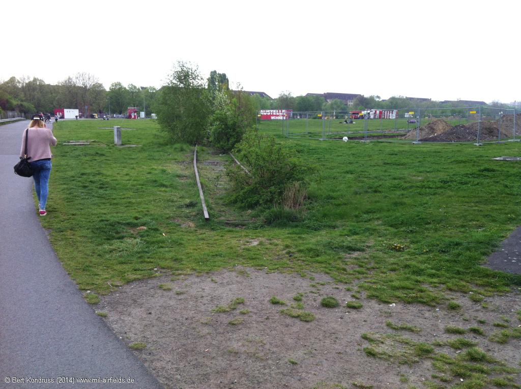

View to the east, runway 09R starts on the left. - The railroad is already interrupted here.
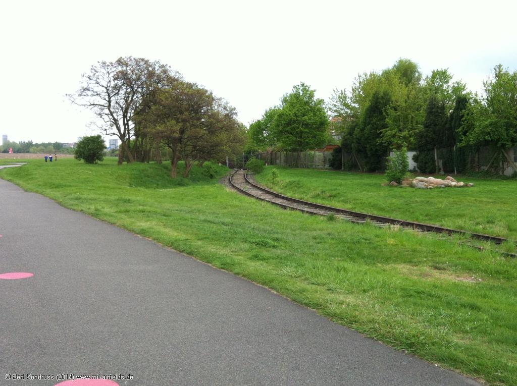
On the left, the track swings further north
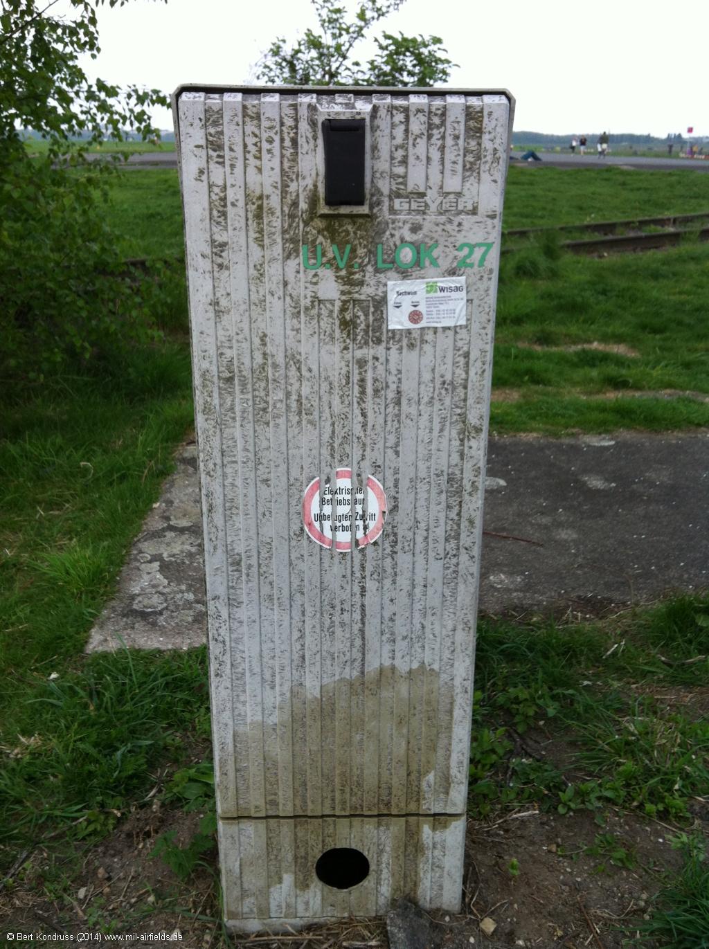
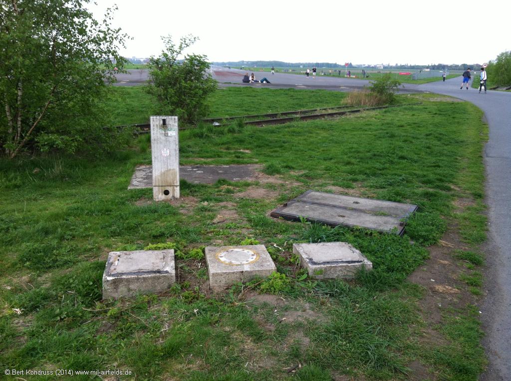
U.V. Lok 27
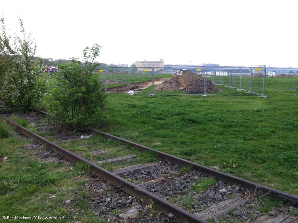
The construction site in the background is the former localizer for runway 27L - The localizer was slightly displaced to the north.
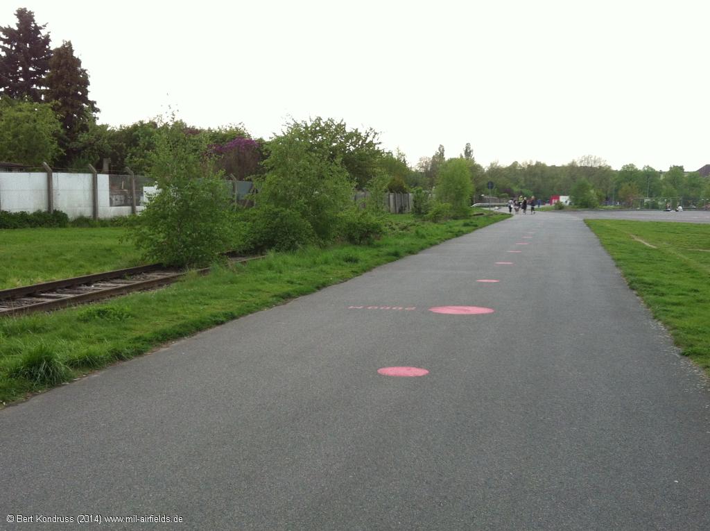
The railway siding goes further north to the airport building
Sources
- http://www.stadtentwicklung.berlin.de/geoinformati... - Geoportal Berlin
- https://www.archives.gov/ - National Archives
- https://www.landesarchiv-bw.de/ - Landesarchiv Baden-Württemberg
- http://ba.e-pics.ethz.ch - ETH Bildarchiv
Links
General
- Google Maps
- Wikipedia (german)
- Planeboys - A lot of nice pictures
Until 1945
- TU Berlin Architekturmuseum - Maps and sketches to the airport from Ernst Sagebiel
1945-1994
1994-2008
- Homepage of the Berlin Airports to which also Tempelhof belonged to.
- Aerial picture 02/2001
- Aerial picture from the west 05/2003
- Airliners.net: Pictures from 1994 until 1999
- Airliners.net: Pictures from 2000 until 2009
- Runway 09L
- Landung in Berlin Tempelhof am 25.7.08 - Video approach 09L
- Dornier 228 Berlin Tempelhof RWY 09L - Video approach 09L
- Runway 09R
- Final Rwy 09R with Dash 8-314 OE-LSB - 30may2004
- Runway 27L
- Britten-Norman BN-2 Islander - Cockpit view on the final approach to 27L
- Short Final Rwy 27L - 18sep2004
- Approach to land - Video of the approach of a Boeing 737 to 27L
- Runway 27R
- Approach Airport Berlin Tempelhof EDDI - Video from the approach to 27R
- Cockpitview - Landung DA40 in Tempelhof - Video from the approach to 27R
- Official closing october 2008
- Goodbye Tempelhof | The last day - Great video from the last official day
- Letzter Funkspruch am 30.10.2008
- The last planes leaving Tempelhof November 24th, 2008
- Die (aller-) letzten Starts in Tempelhof (1)
- Die (aller-) letzten Starts in Tempelhof (2)
- Die (aller-) letzten Starts in Tempelhof (3)
- Die (aller-) letzten Starts in Tempelhof (4)
- Letzter Abflug Tempelhof 24.11.2008 - TV report from mdr
Bibliography
- Ries, Karl; Dierich, Wolfgang: "Fliegerhorste und Einsatzhäfen der Luftwaffe" Motorbuch Verlag Stuttgart, 1993 - Allied map
- : "Gelandet in Berlin - Zur Geschichte der Berliner Flughäfen" Berliner Flughafengesellschaft mbH, ca. 1974
- Freundt, Lutz: "Mauerflieger - Berlin-Luftkorridore - Flughafen Tempelhof" AerLit - Verlag und Medienvertrieb, Diepholz, 2001 - History and pictures 1945-1990
- Jeschonek, Friedrich; RIedel, Dieter; Durie, William: "Alliierte in Berlin 1945-1990" Berlin Verlag Arno Spitz GmbH, Berlin (2002)
- Przychowski, Hans von: "Luftverkehr in Berlin - Die Flughäfen im Wandel der Zeit 1945 - 1996 (eine Zeittafel)" Brandenburgisches Verlagshaus, 1996
Airfields in the vicinity
- 118°/9km Berlin: Johannisthal Airfield (Adlershof, Аэродром Берлин Йоханнисталь Адлерсхоф)
- 232°/10km Berlin: Berlin Command Airstrip
- 074°/12km Berlin: Helipad 1028 (HSLP / HLP 1028)
- 321°/12km Berlin: Tegel Airport
- 143°/13km Berlin: Schönefeld Airport (Zentralflughafen Berlin-Schönefeld, SXF)
- 270°/18km Berlin: RAF Gatow Airfield (Kladow)
- 062°/19km Hönow: Agricultural Airfield
- 051°/20km Blumberg: Agricultural Airfield
- 115°/20km Berlin: Müggelheim Agricultural Airfield
- 289°/20km Berlin: Staaken Airfield (Dallgow, Dalgow, Аэродром Берлин Штакен)
- 244°/21km Berlin: Steinstücken Helipad
Categories
Military Airfields GermanyAir Bases of the United States Air Force (USAF) in GermanyUS Army Airfields and Heliports in GermanyContents
Page 1: From the beginnings until 1945
Page 3: Tempelhof Airport: The 1950s
Page 6: Berlin Tempelhof Airport today - documentation; Links and references ← you are here
 Follow mil-airfields on Facebook