Dexheim: Anderson Barracks Army Heliport AHP
For historical information only, do not use for navigation or aviation purposes!
| Coordinates | N495052 E0081733 (WGS84) Google Maps |
| Elevation | 531 ft |
| Federal state | Rheinland-Pfalz (Rhineland-Palatinate) |
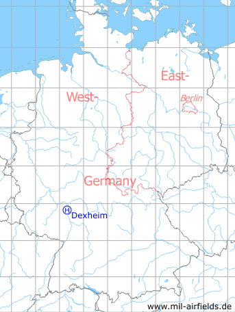
Germany during the Cold War Map
The history of the Cold War airfields: Dexheim
Use
2.5 km north-northwest of Dexheim.
During the Cold War
Use
US Army helipad at the Anderson Barracks.
Overview
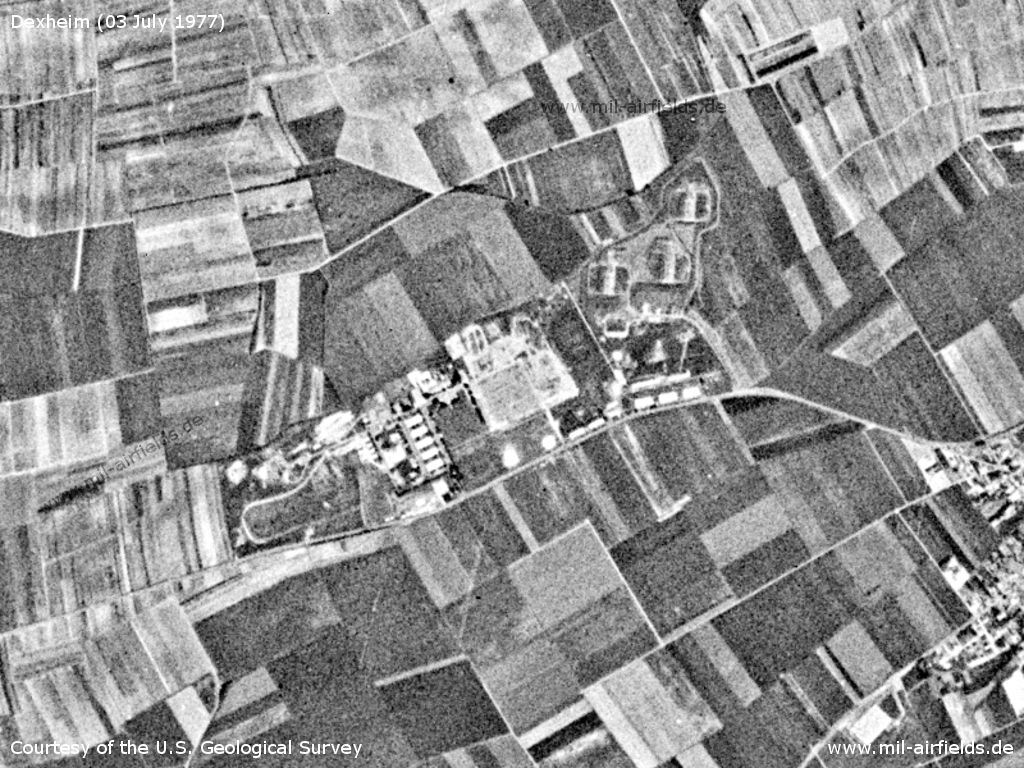
Dexheim Anderson Barracks on a US satellite image from 03 July 1977
Source: U.S. Geological Survey
Today
Use
The barracks are closed since 2009. The Rhein-Selz-Park is to be built on the site.
Overview
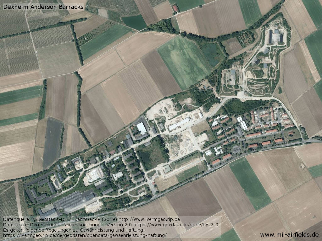
Aerial image
Source: Datenquelle: © GeoBasis-DE / LVermGeoRP (2019), http://www.lvermgeo.rlp.de, Datenlizenz Deutschland – Namensnennung – Version 2.0 https://www.govdata.de/dl-de/by-2-0
Sources
- https://lvermgeo.rlp.de/ - Geoportal Rheinland-Pfalz
Airfields in the vicinity
- 323°/17km Mainz: Finthen Army Airfield AAF (Ober-Olm)
- 088°/21km Darmstadt: Army Airfield AAF (Griesheim, August-Euler-Flugplatz)
- 168°/21km Worms: US Army Heliport AHP (US Army Heliport AHP)
- 006°/23km Wiesbaden: Air Base, Army Airfield (Erbenheim)
- 276°/24km Sprendlingen: Highway Strip (Notlandeplatz)
Categories
Military Airfields GermanyMilitary Airfields in former West GermanyUS Army Airfields and Heliports in GermanyRecommended
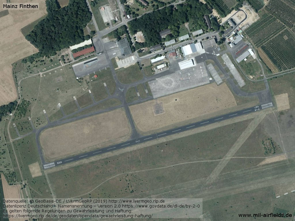
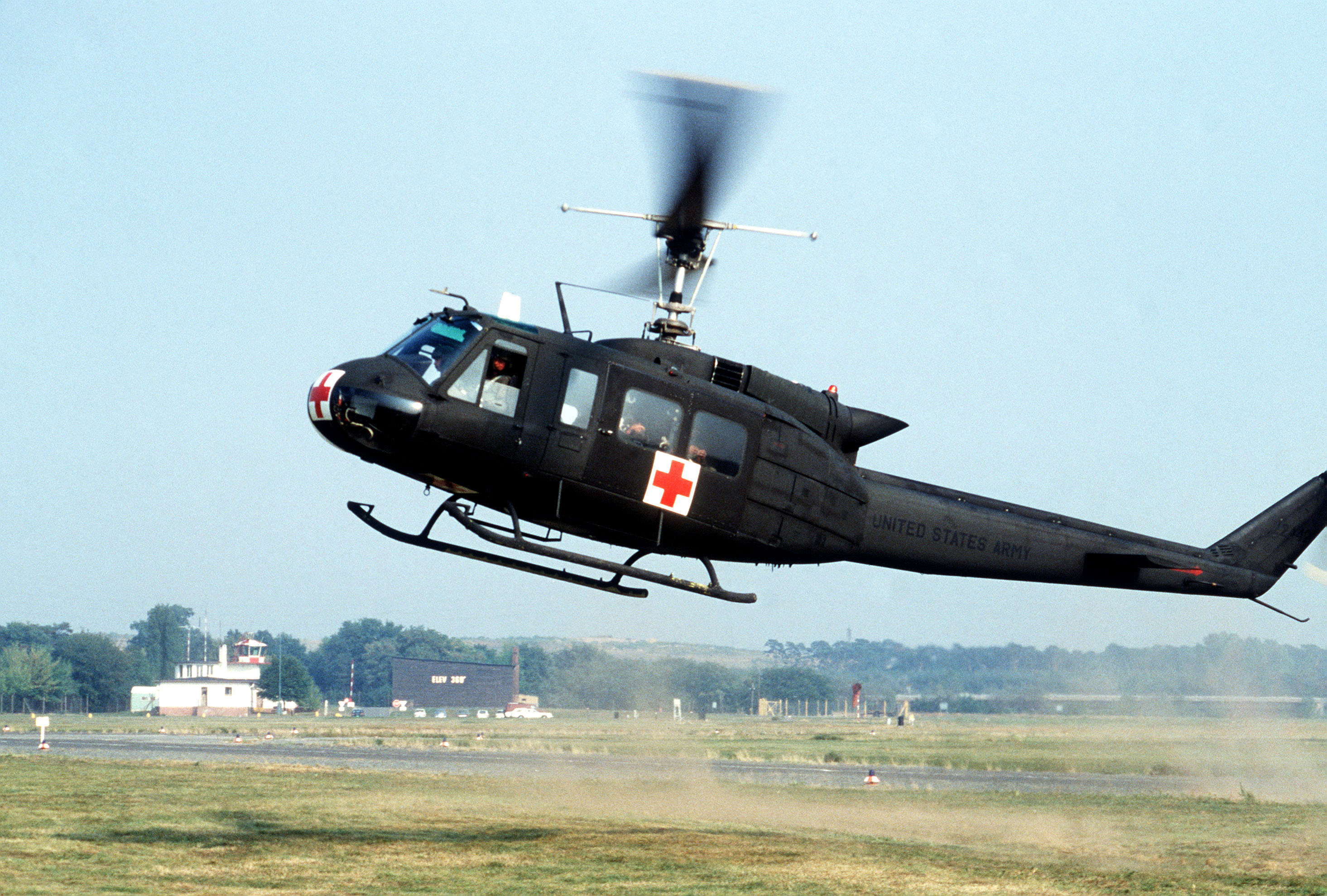
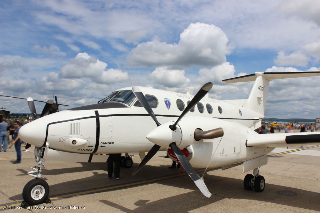
Image credits are shown on the respective target page, click on the preview to open it.
 Follow mil-airfields on Facebook