Fürth: Army Airfield AAF
Nürnberg-Fürth Airport, Atzenhof, Monteith Barracks Army Heliport Furth
For historical information only, do not use for navigation or aviation purposes!
| Coordinates | N492949 E0105728 (WGS84) Google Maps |
| Federal state | Bayern (Bavaria) |
Germany during the Cold War
The history of the Cold War airfields: Fürth Atzenhof / Monteith Barracks
Contents
Page 1: From the beginnings to the 1990s
Page 2: The former Fürth airfield today ← you are here
Today
Use
Closed.
Overview
Aerial pictures from approx. 2017

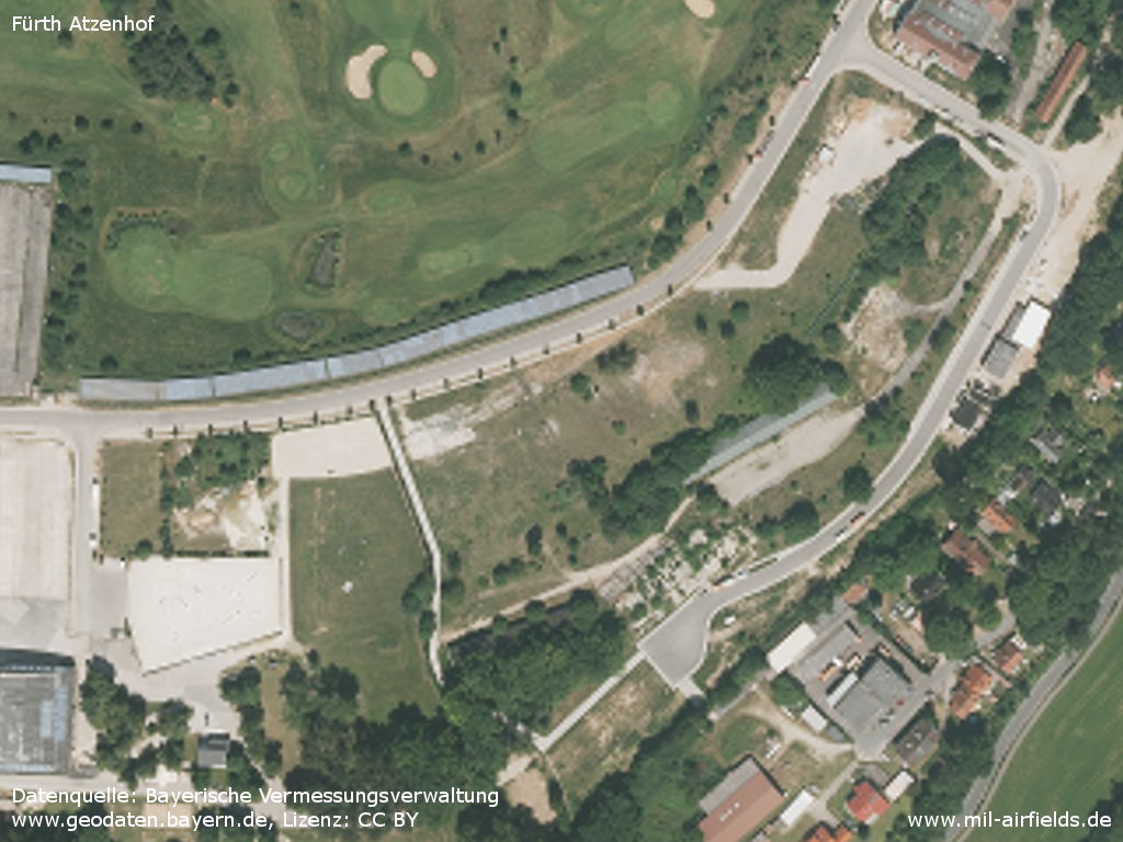
The former airfield on an aerial picture, in approx. 2017
Source: Bayerische Vermessungsverwaltung
www.geodaten.bayern.de, Lizenz: CC BY
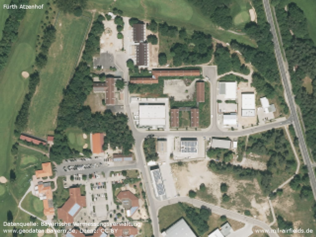
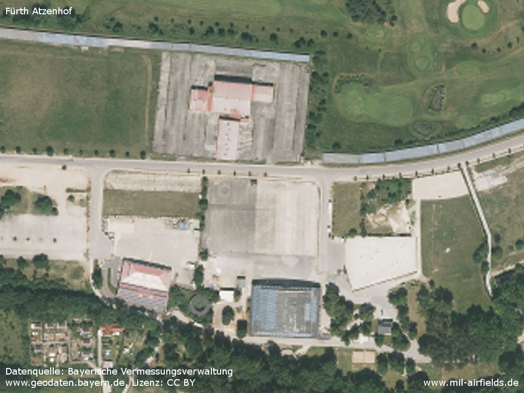
Northern part
Source: Bayerische Vermessungsverwaltung
www.geodaten.bayern.de, Lizenz: CC BY
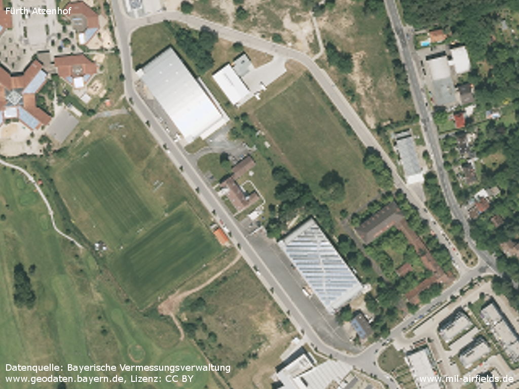
Two hangars with the air traffic control building in between
Source: Bayerische Vermessungsverwaltung
www.geodaten.bayern.de, Lizenz: CC BY
Two more hangars
Source: Bayerische Vermessungsverwaltung
www.geodaten.bayern.de, Lizenz: CC BY
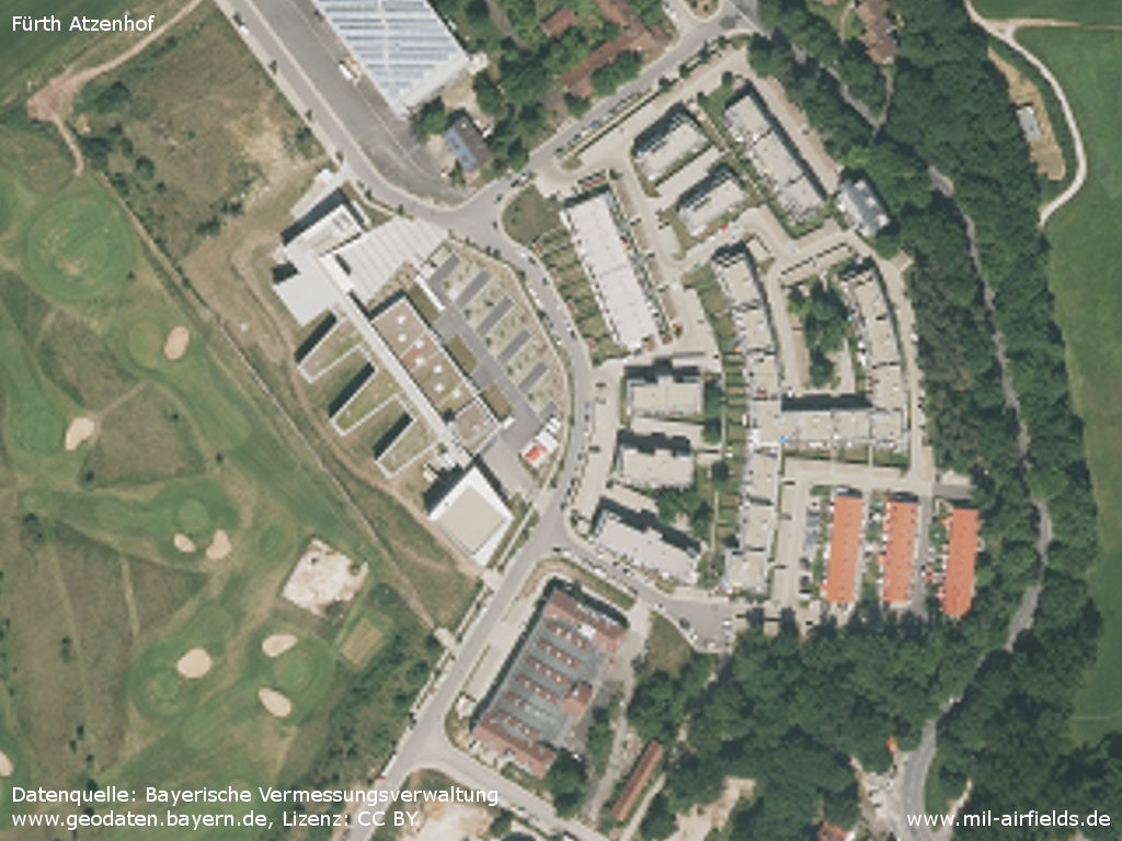
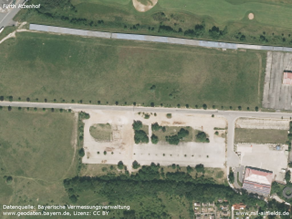
Southeastern corner
Source: Bayerische Vermessungsverwaltung
www.geodaten.bayern.de, Lizenz: CC BY
Southern hangar, now indoor riding arena - The former runway has been renaturalized, on the strip there is a solar system (upper edge of the picture)
Source: Bayerische Vermessungsverwaltung
www.geodaten.bayern.de, Lizenz: CC BY
Former runway (top) and taxiways (bottom)
Source: Bayerische Vermessungsverwaltung
www.geodaten.bayern.de, Lizenz: CC BY
Images
The following pictures were taken in April 2018. The numbers on the aerial photo indicate the object or the photo position (own numbering).
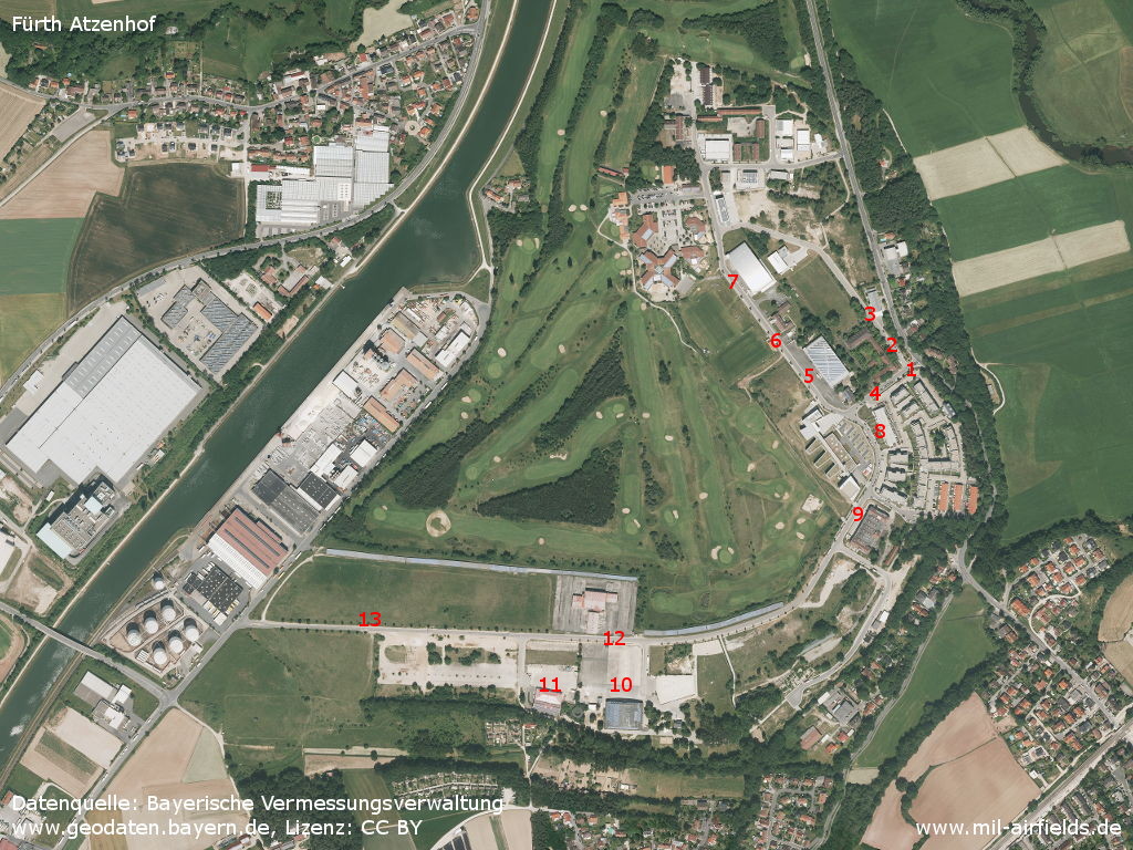
Objects and photo positions
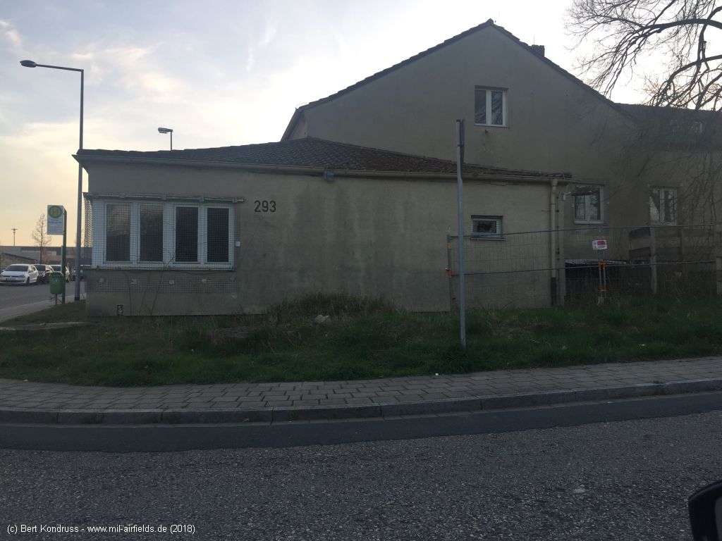
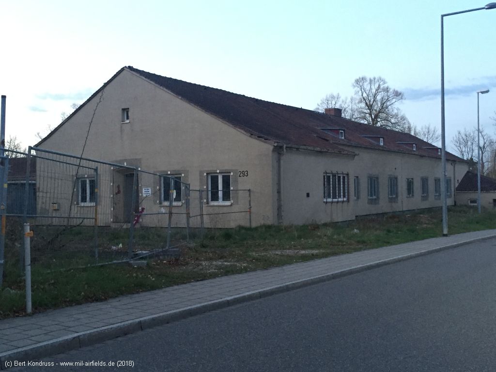
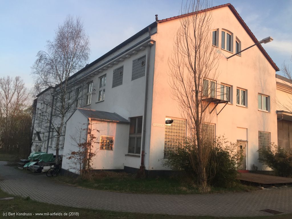
Building 293 near the former gate (position 1) - Today Charles-Lindbergh-Straße / Gustav-Weißkopf-Straße, looking southwest
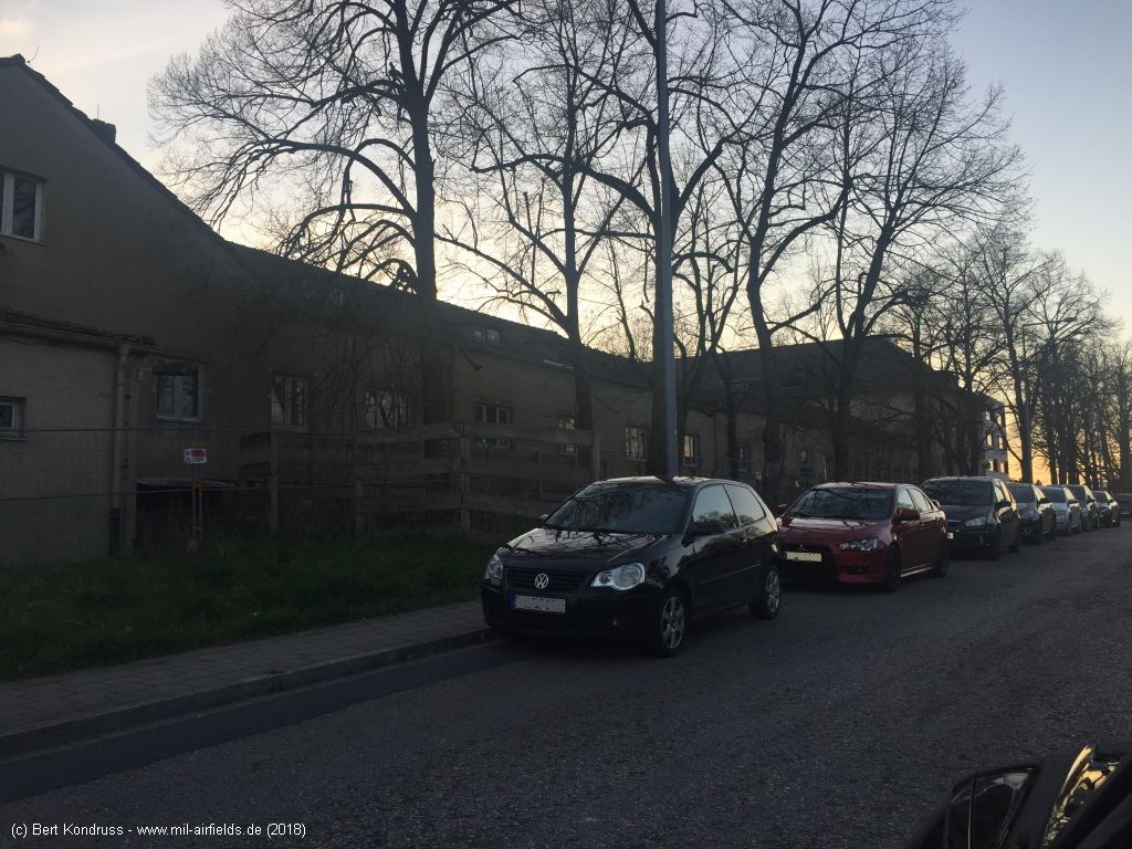
Buildungs (position 2) - Gustav-Weißkopf-Straße, looking northwest
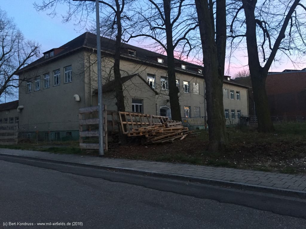
Buildungs (position 3) - Gustav-Weißkopf-Straße, looking southhwest
Gate (position 4) - Charles-Lindbergh-Straße, looking north-northeast
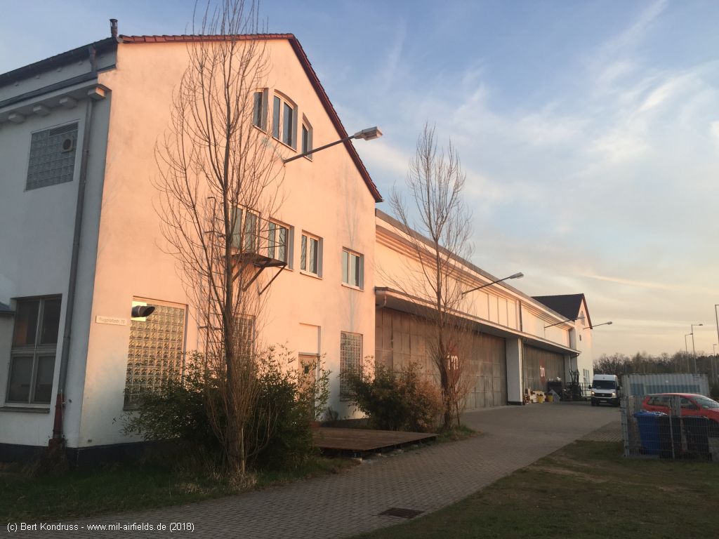
Hangar (object 5) - Today Flugplatzstraße
Flugplatzstraße, looking north
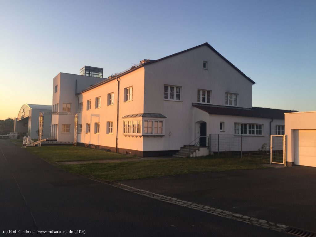
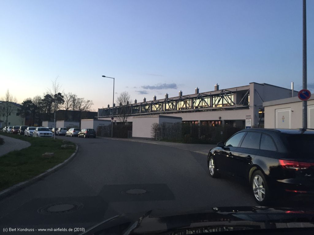
Flight control (object 6)
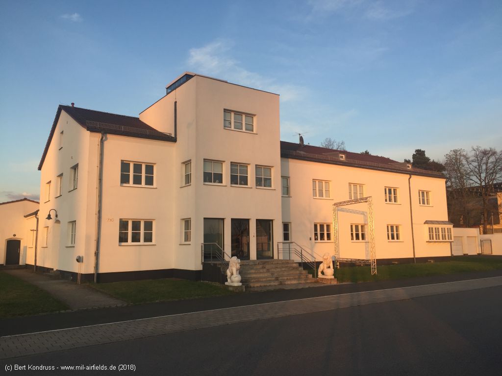
Looking east
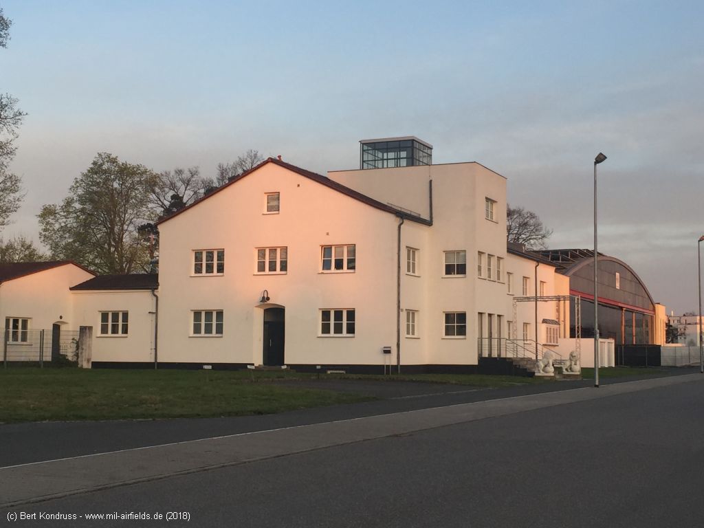
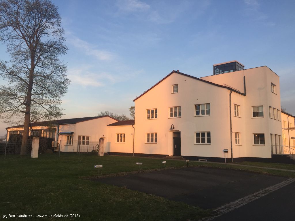
Rear side, seen from Gustav-Weißkopf-Straße
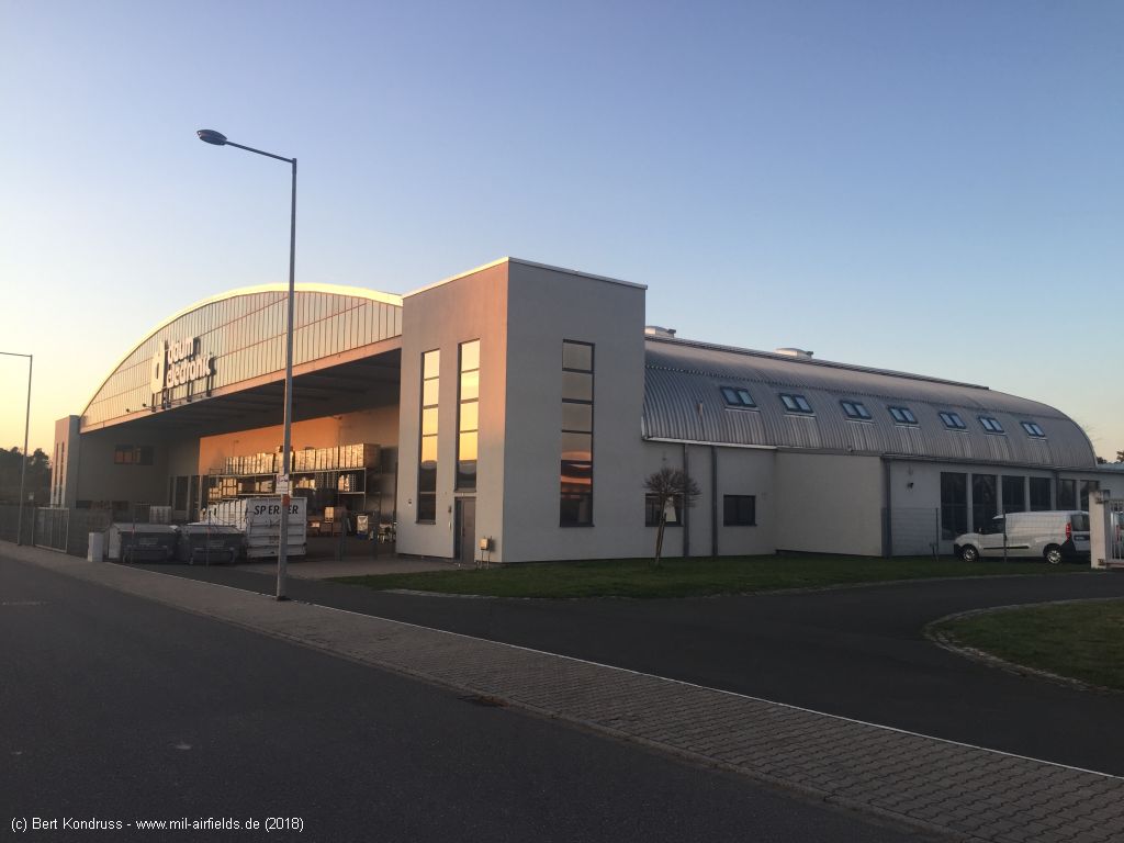
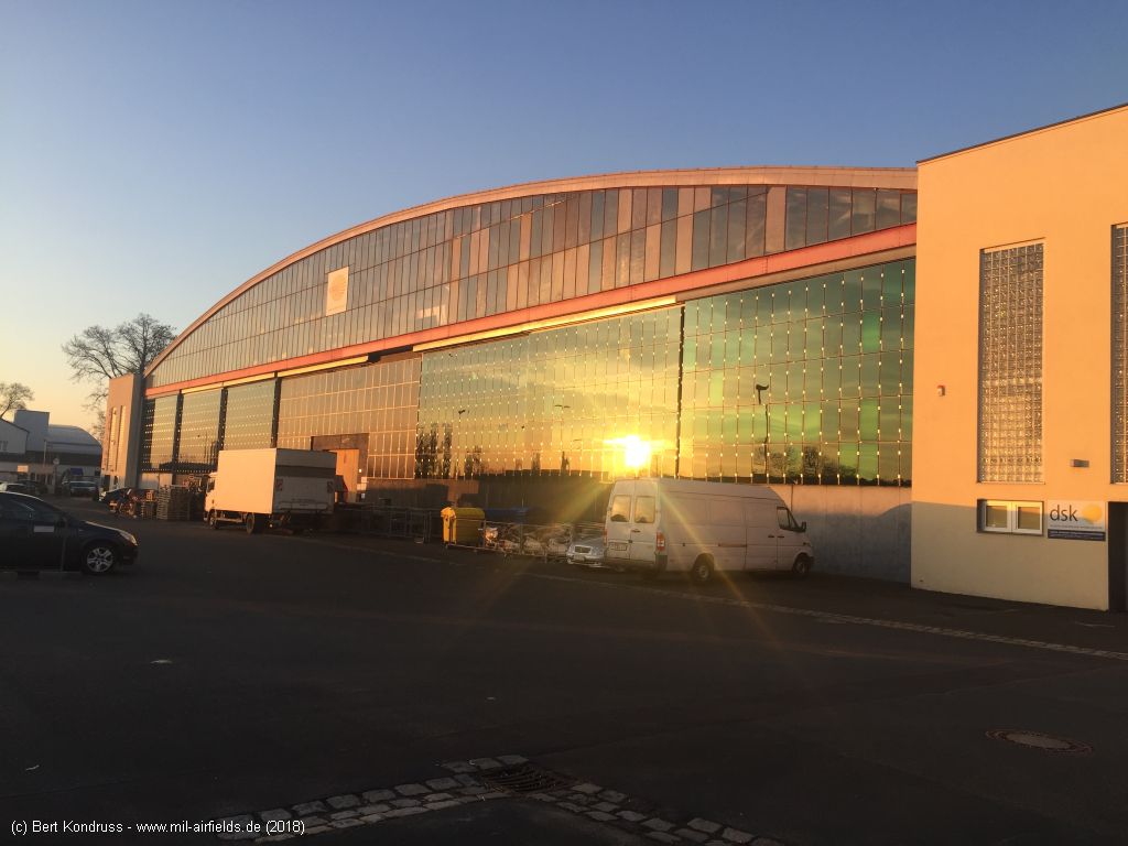
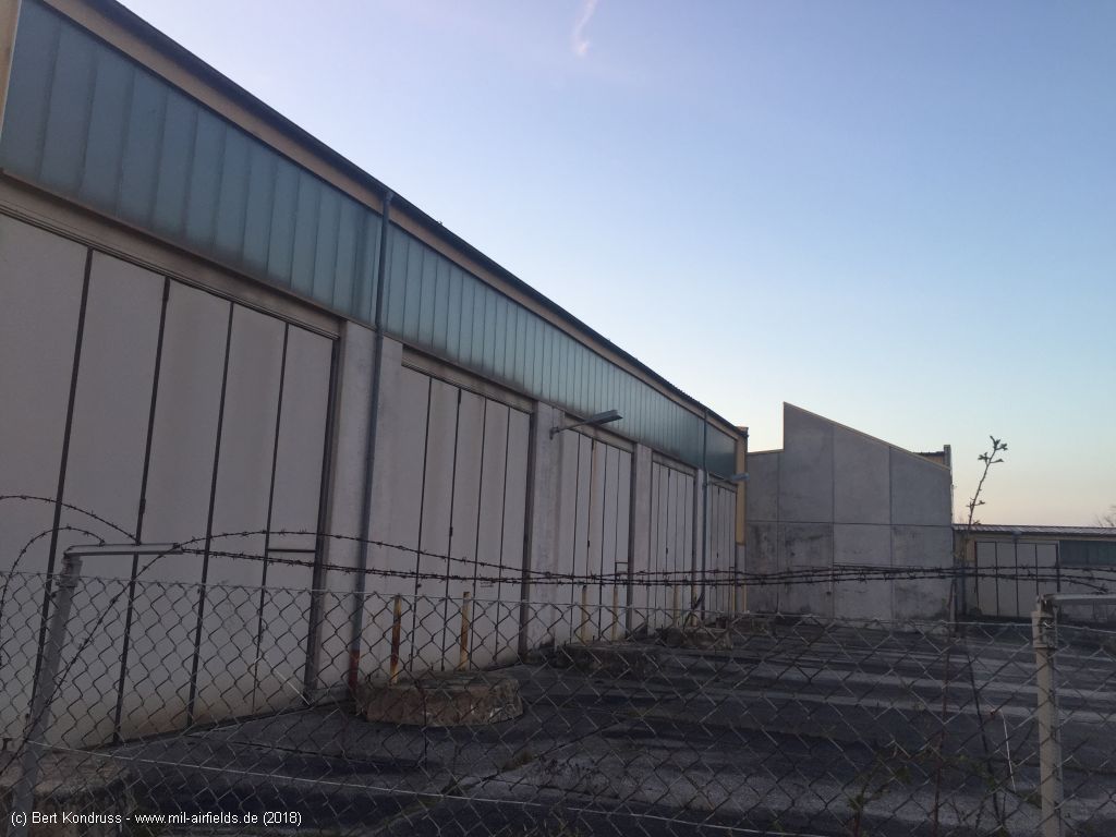
Hangar (object 7) - Flugplatzstraße, looking north
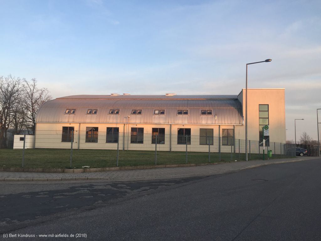
Flugplatzstraße / Gustav-Weißkopf-Straße, looking southeast
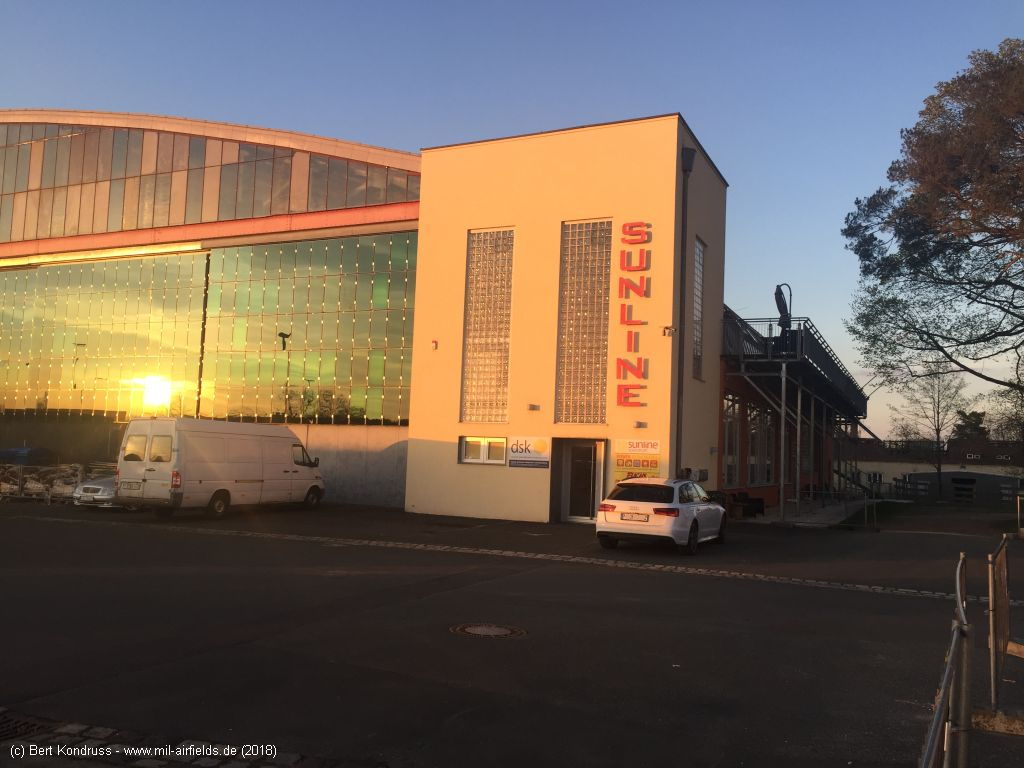
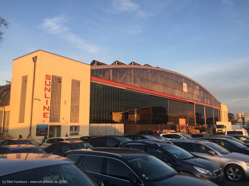
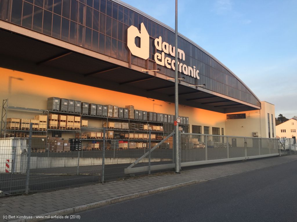
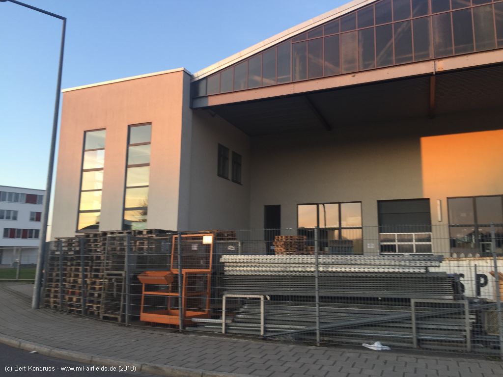
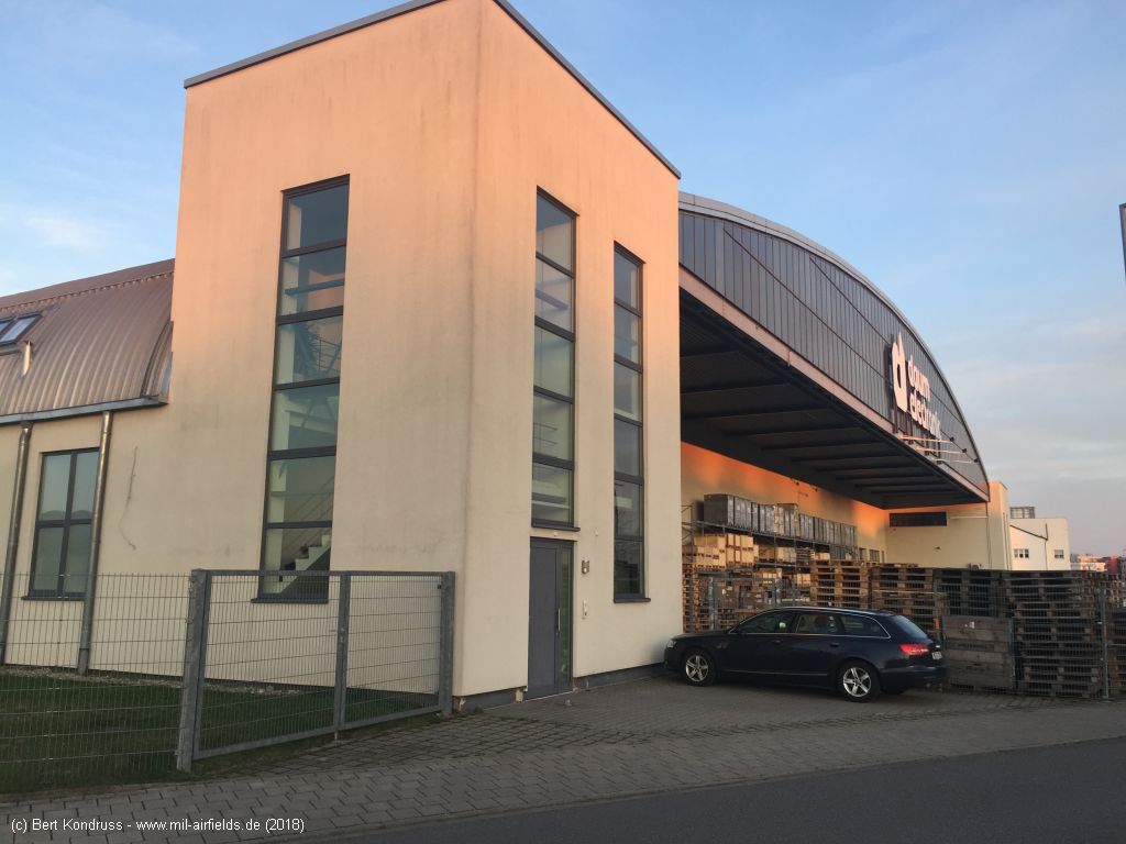
Converted hangar (object 8) - Flugplatzstraße, near Hermann-Köhl-Straße, looking north
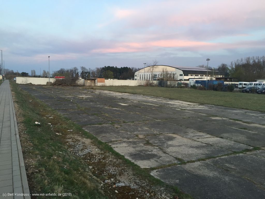
Hangar, northern part (object 9) - Flugplatzstraße, between Hermann-Köhl-Straße and Käthe-Brand-Straße
Front - Flugplatzstraße
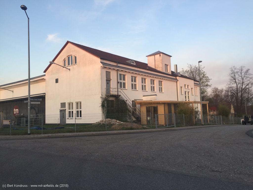
Southern side - Käthe-Brand-Straße
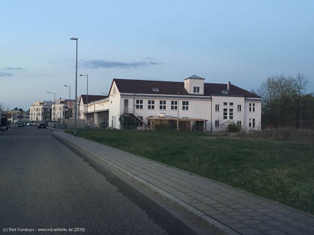
Flugplatzstraße, looking northeast
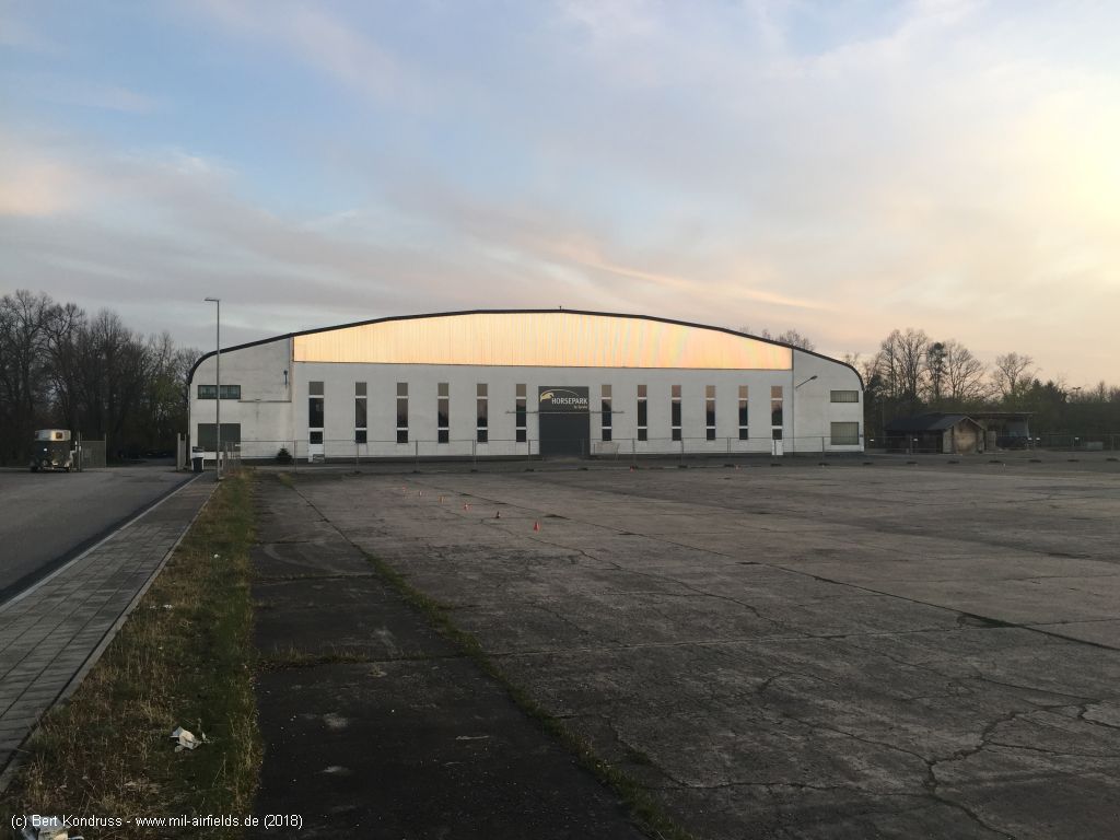
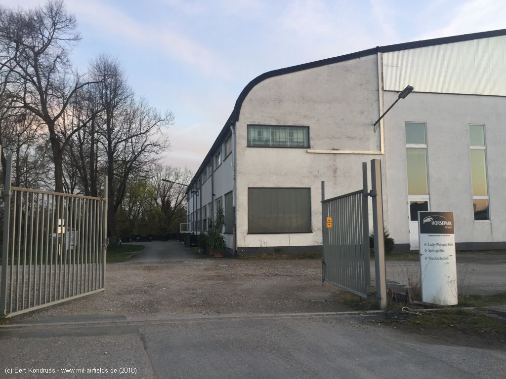
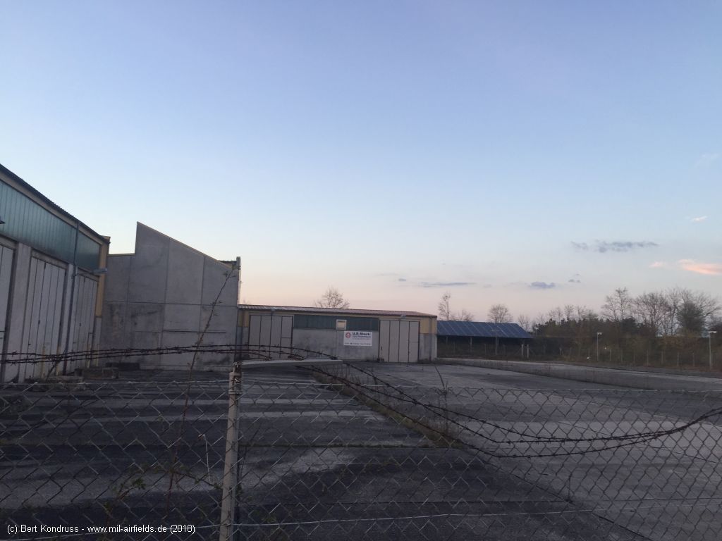
Hangar in the south (object 10), today indoor riding arena - Flugplatzstraße
A horse is looking out of the window
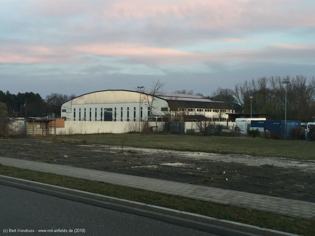
Looking southeast
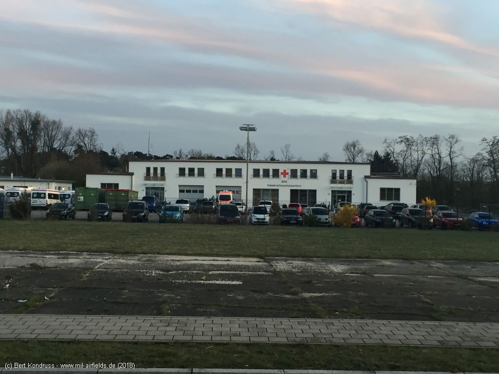
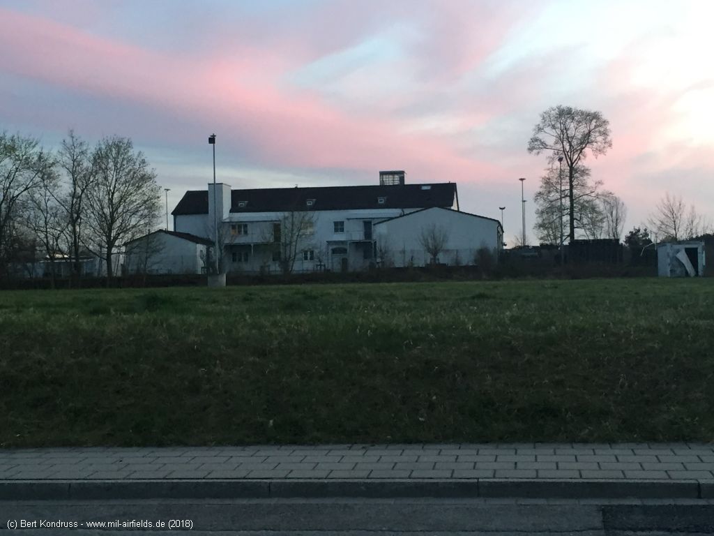
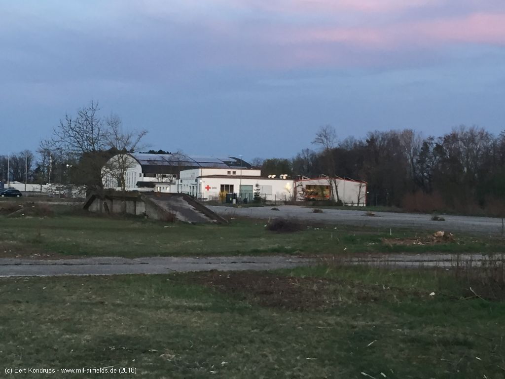
Disaster relief center of the Bavarian Red Cross (object 11)
Sunset - Flugplatzstraße, looking West
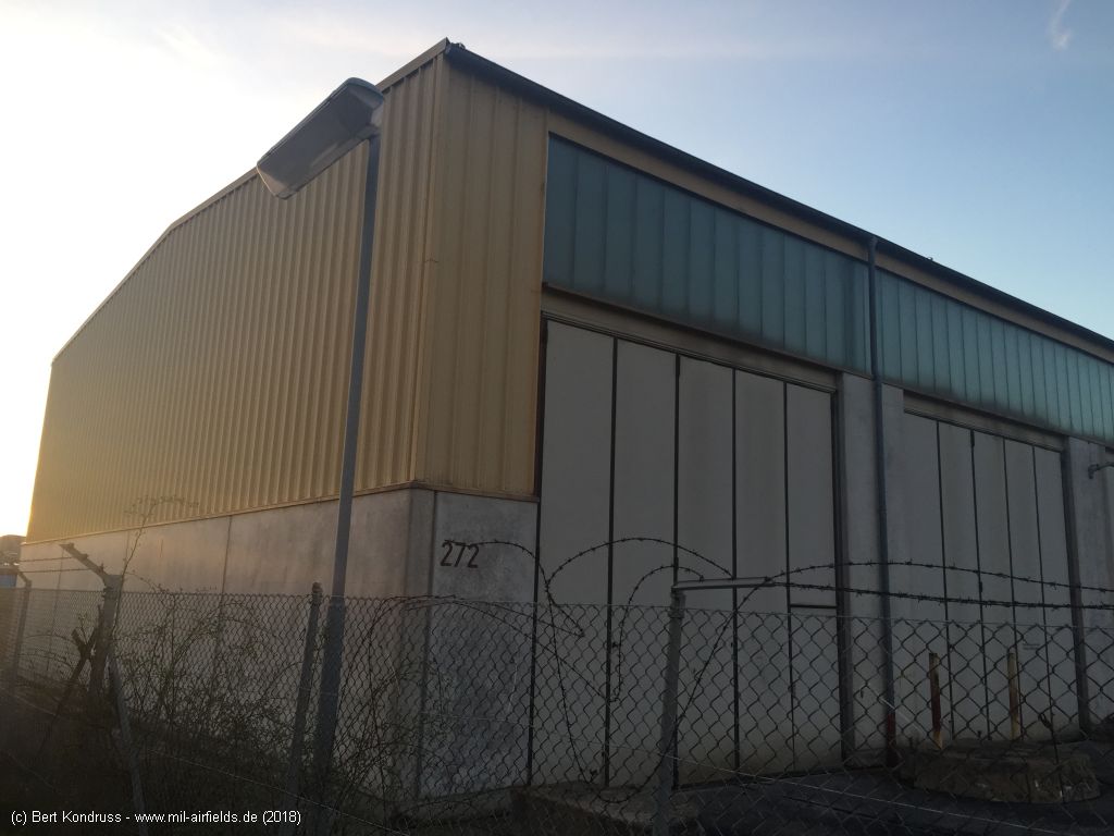
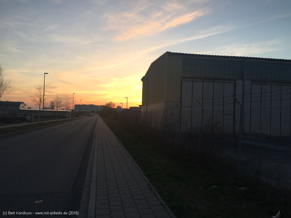
Former US building 272 (object 12)
Looking north
What was the purpose of these buildings?
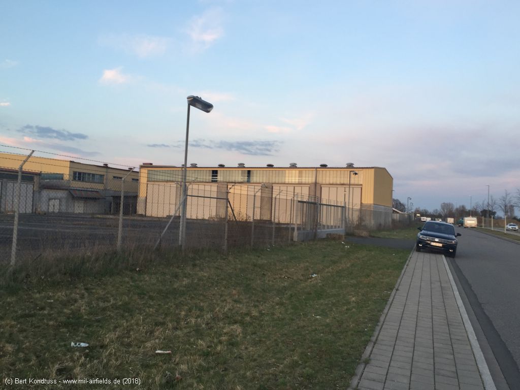
The area was specially fenced and illuminated
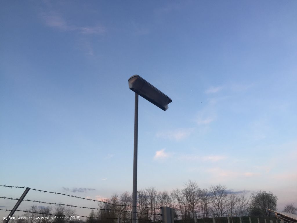
Typical lighting at military objects
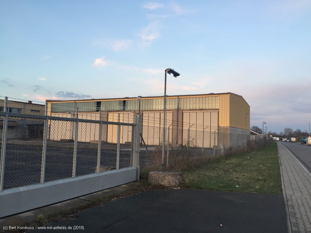
Flugplatzstraße, looking east-northeast
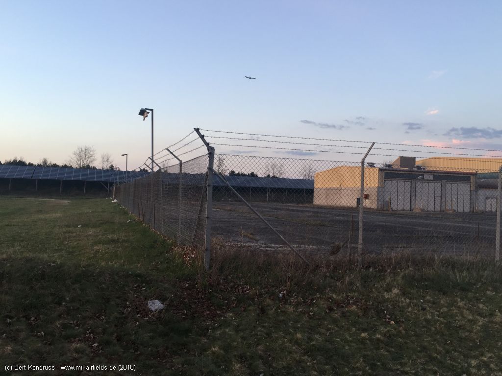
In the background is the area of the former runway. Today there is a solar plant.
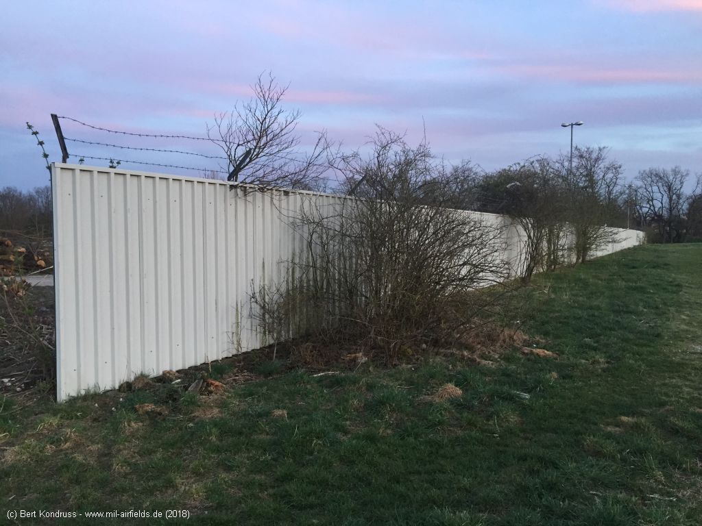
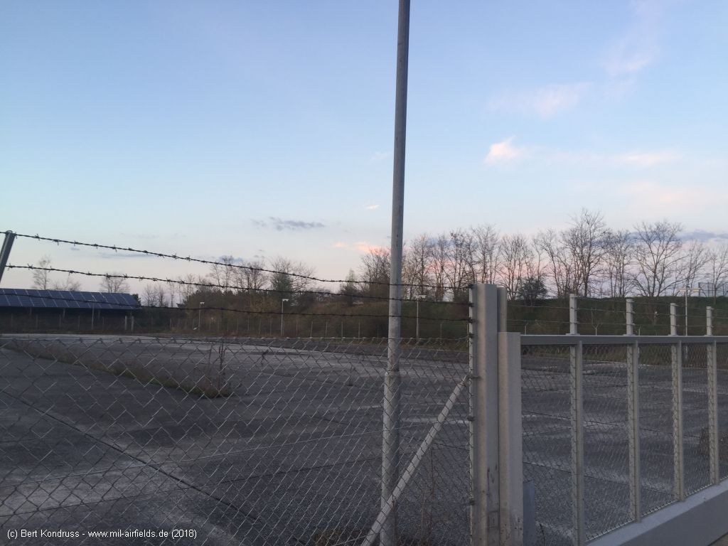
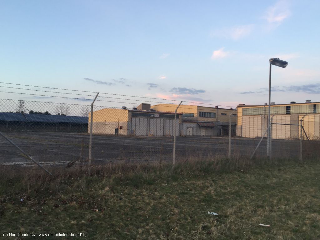
Fence at the western end (position 13) - Looking southeast
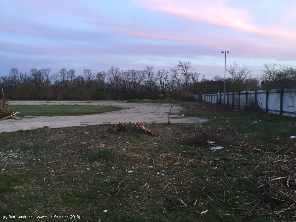
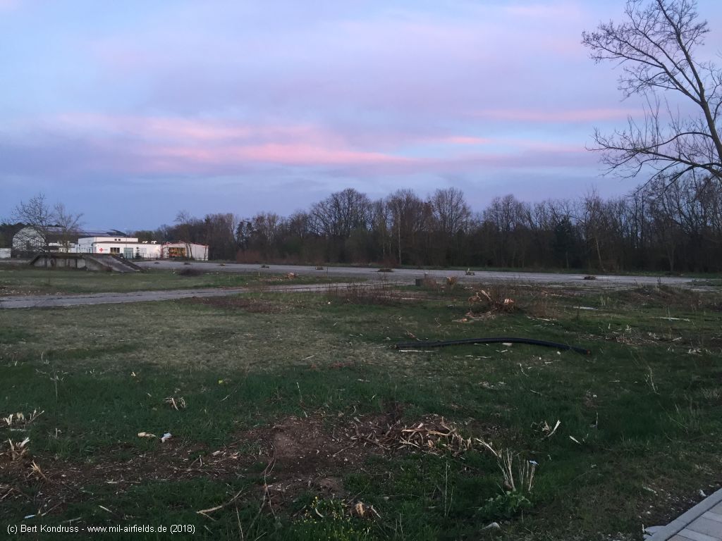
Concrete surfaces inside the fence
Flugplatzstraße, looking east
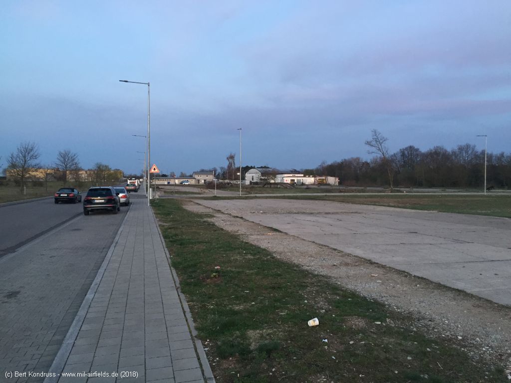
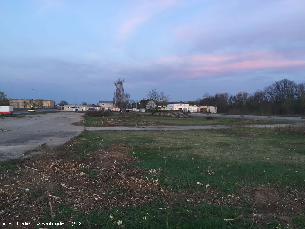
Concrete areas south of Flugplatzstraße
Sources
- https://www.e-pics.ethz.ch/ - ETH E-Pics
- https://geoportal.bayern.de/ - Geoportal Bayern
Bibliography
- Ries, Karl; Dierich, Wolfgang: "Fliegerhorste und Einsatzhäfen der Luftwaffe" Motorbuch Verlag Stuttgart, 1993 - Alliierte Planskizze
Airfields in the vicinity
- 191°/2km Fürth: Industrieflughafen Airport (Nuremberg-Fürth Industriehafen Airfield, Fürth Industrie)
- 172°/3km Fürth: Dambach Housing Area Helipad
- 027°/11km Erlangen: Army Airfield AAF (Ferris Barracks Army Heliport AHP)
- 125°/14km Nürnberg: Soldiers Field Army Airfield (AAF, Nurnberg New, Great Road)
- 128°/20km Feucht: Army Airfield AAF (Feucht Army Airfield AAF)
- 228°/31km Ansbach: Army Airfield / Heliport (Katterbach Kaserne)
- 162°/33km Roth: Airfield (Kiliansdorf)
Categories
Military Airfields GermanyMilitary Airfields in former West GermanyUS Army Airfields and Heliports in GermanyRecommended
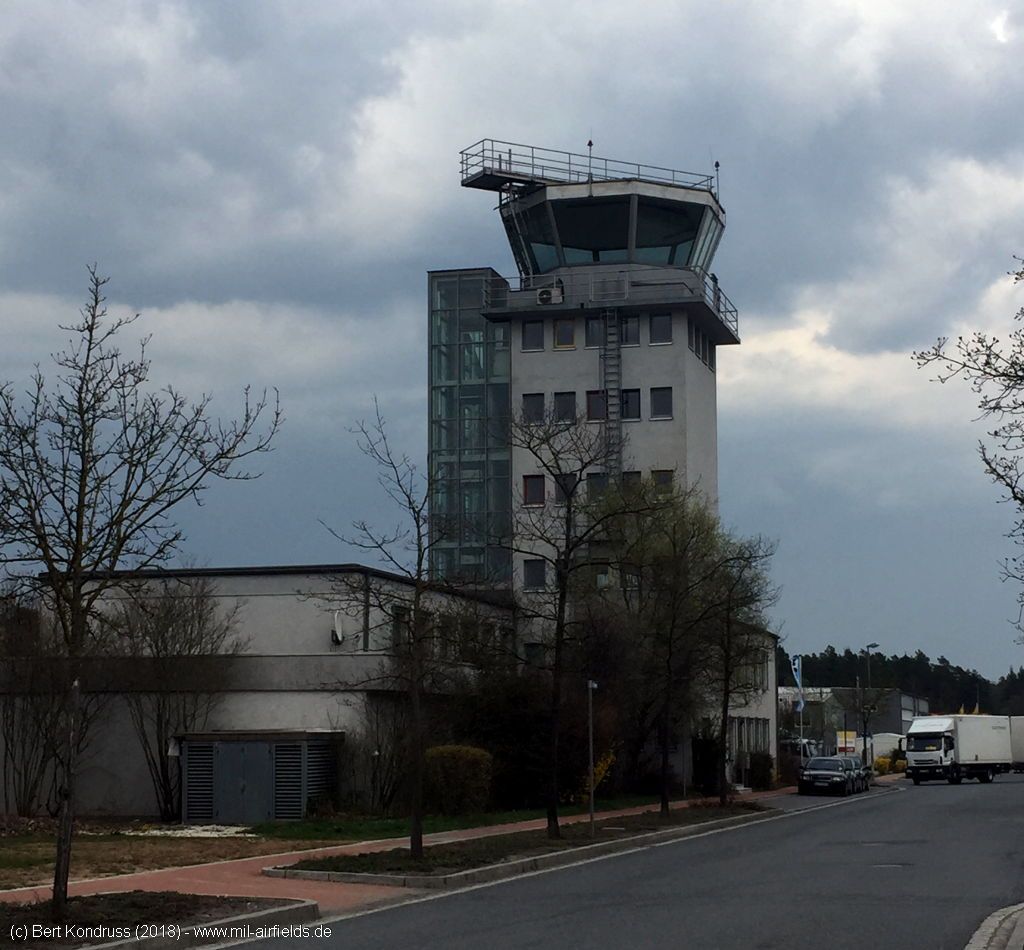
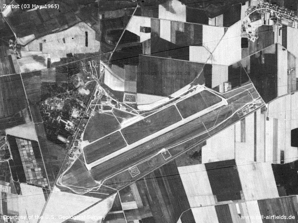
Image credits are shown on the respective target page, click on the preview to open it.
Contents
Page 1: From the beginnings to the 1990s
Page 2: The former Fürth airfield today ← you are here
 Follow mil-airfields on Facebook