Trier: Föhren Airfield
For historical information only, do not use for navigation or aviation purposes!
| Coordinates | N495151 E0064716 (WGS84) Google Maps |
| Elevation | 665 ft |
| Location indicator | EDRT |
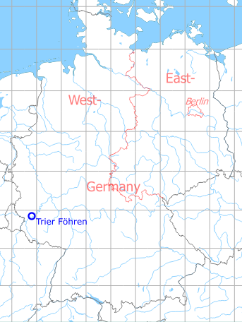
Germany during the Cold War
The history of the Cold War airfields: Trier Föhren
During the Cold War
Use
French Army Aviation airfield.
Overview
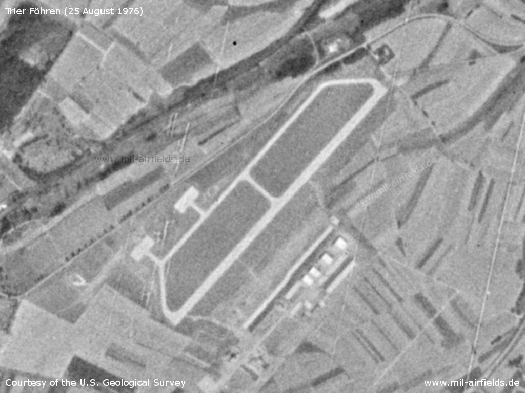
Trier Föhren Airfield on a US satellite image from 25 August 1976
Source: U.S. Geological Survey
Runways
Data for the year 1990:
- 05/23: 1201 m x 30 m Concrete
Radio beacons
Data for the year 1983:
- L: TX "474", at field
Units
1990: 12e GHL Gazelle, Alouette.
Today
Use
General aviation airfield.
Overview
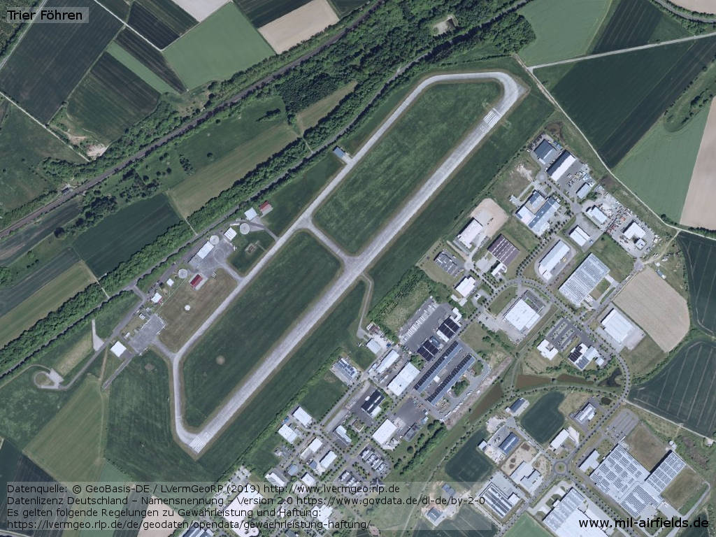
Aerial image
Source: Datenquelle: © GeoBasis-DE / LVermGeoRP (2019),
Datenlizenz Deutschland – Namensnennung – Version 2.0 https://www.govdata.de/dl-de/by-2-0, http://www.lvermgeo.rlp.de
Links
- https://www.alat.fr/12e-ghl.html - Aerial image of the French base
- https://www.flugplatz-trier.de/ - Homepage
Airfields in the vicinity
- 333°/14km Spangdahlem: Air Base
- 299°/18km Bitburg: Air Base
- 221°/21km Trier: Euren Airfield
Categories
Military Airfields GermanyMilitary Airfields in former West GermanyAirfields of the French Forces in GermanyRecommended
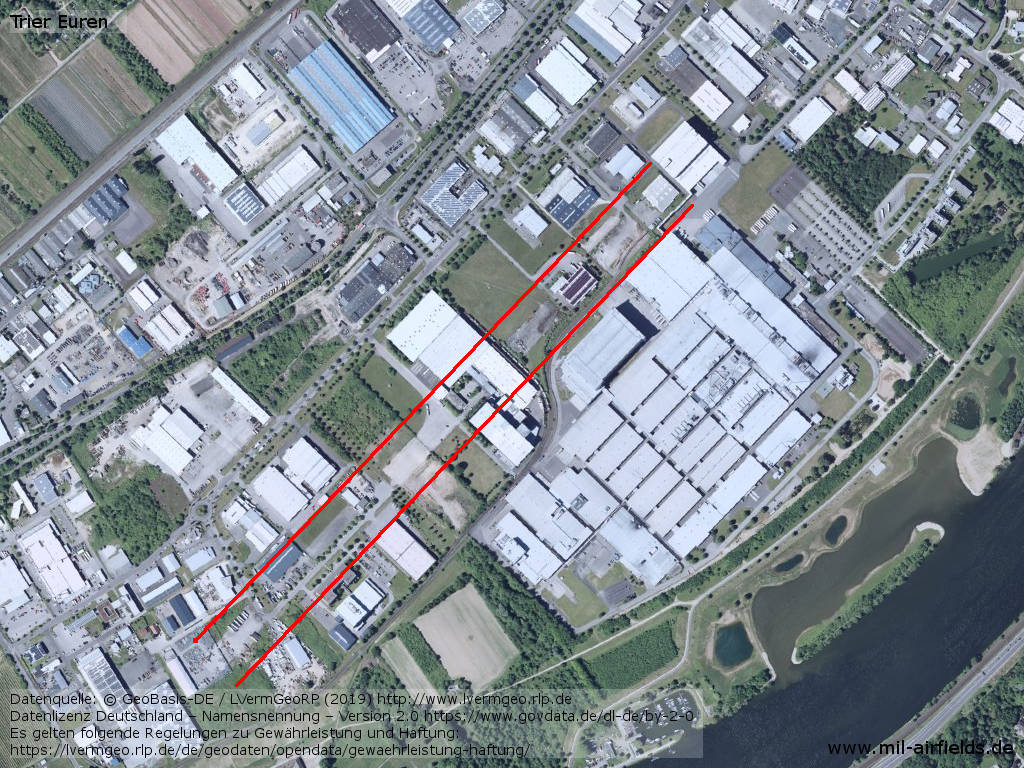
Image credits are shown on the respective target page, click on the preview to open it.
 Follow mil-airfields on Facebook