For historical information only, do not use for navigation or aviation purposes!
| Coordinates | N494525 E0092928 (WGS84) Google Maps |
| Elevation | 1110 ft |
| Location indicator | EDOF (1990) |
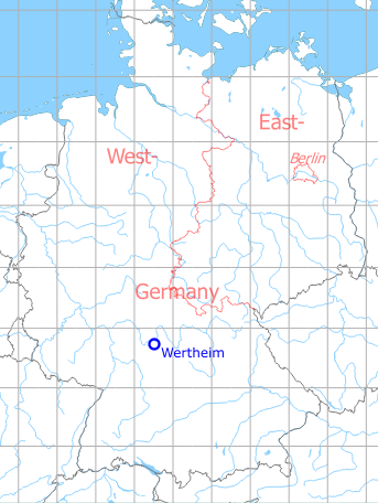
Germany during the Cold War Map
The history of the Cold War airfields: Wertheim
During World War II
Use
Luftwaffe air base.
Situation
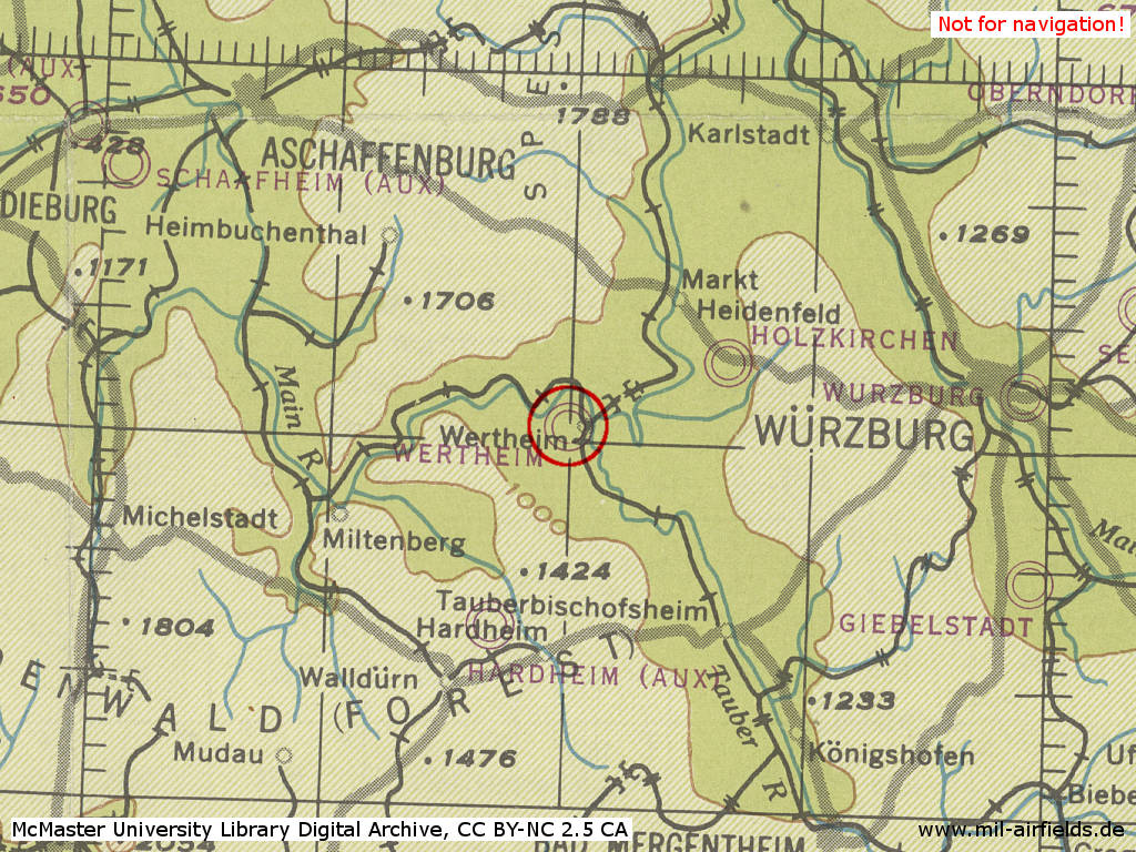
Wertheim air base in World War II on a US map from 194x
Source: McMaster University Library Digital Archive, License: Creative Commons Attribution-NonCommercial 2.5 CC BY-NC 2.5 CA
During the Cold War
Use
US Army airfield.
Situation
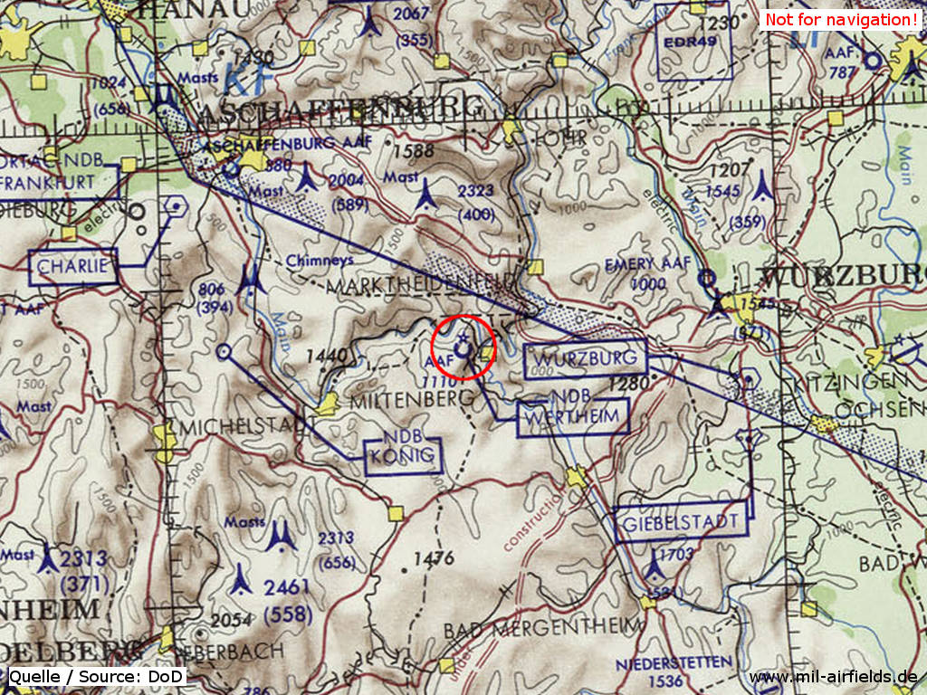
Wertheim Army Airfield on a map of the US Department of Defense from 1972
Source: ONC E-2 (1972), Perry-Castañeda Library Map Collection, University of Texas at Austin
Overview
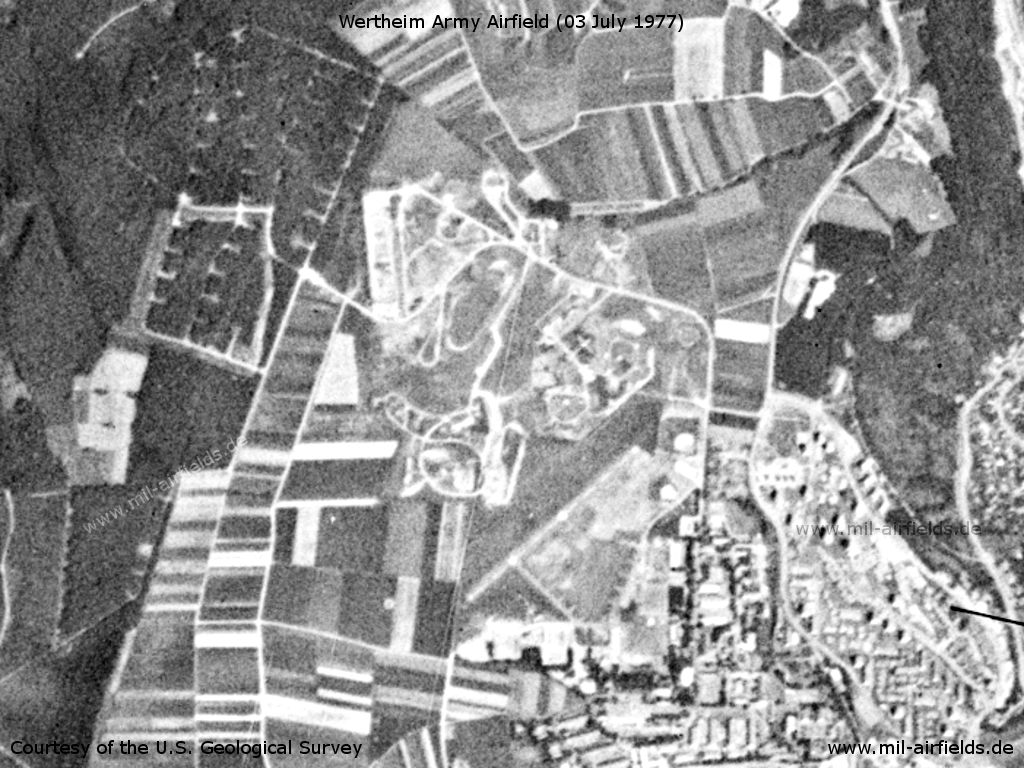
Wertheim Army Airfield with surrounding installations on a US satellite image from 03 July 1977
Source: U.S. Geological Survey
Runways
Data for the year 1990:
- 05/23: 579 m x 20 m
Radio beacons
Data for the year 1990:
- NDB: 475 "WT", at field
Today
Use
Closed.
 Follow mil-airfields on Facebook