For historical information only, do not use for navigation or aviation purposes!
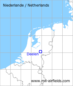
| Coordinates | N520336 E0055218 (WGS84) Google Maps |
| Elevation | 158 ft |
| Region | Gelderland |
| Location indicator | EHDL |
The history of the Cold War airfields: Deelen
During World War II
Use
During the German occupation: Fliegerhorst Deelen.
Situation
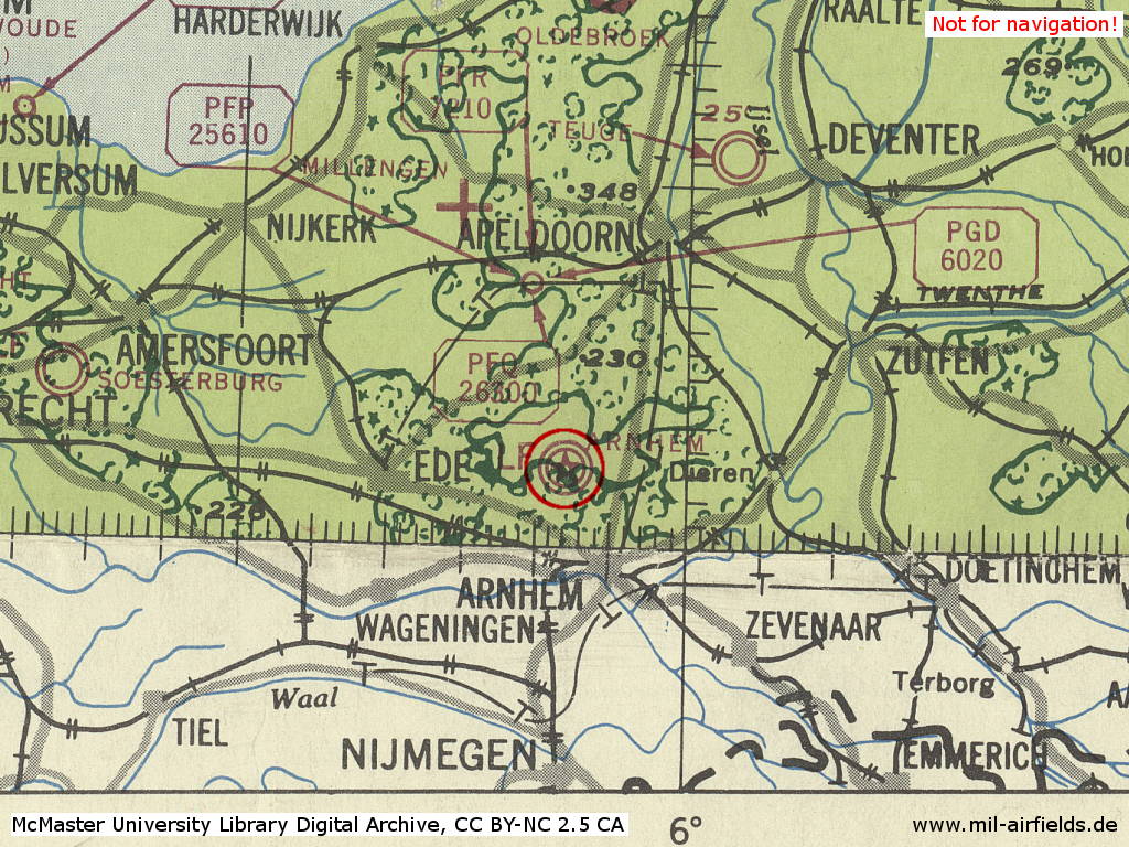
Deelen Air Base in World War II on a US map from 194x
Source: McMaster University Library Digital Archive, License: Creative Commons Attribution-NonCommercial 2.5 CC BY-NC 2.5 CA
During the Cold War
Use
Royal Netherlands Air Force (Koninklijke Luchtmacht, KLu) base
In the 1950s
Situation
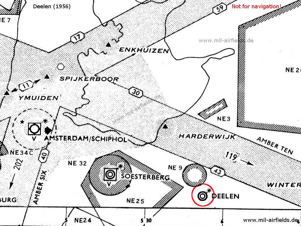
Deelen airfield and surrounding airways and restricted areas on a map 1956
Lights
Red identification beacon with ident "DL"
Radio communication
- Tower 117.9, 111.42, 121.5, 118.1
In the 1970s
Situation
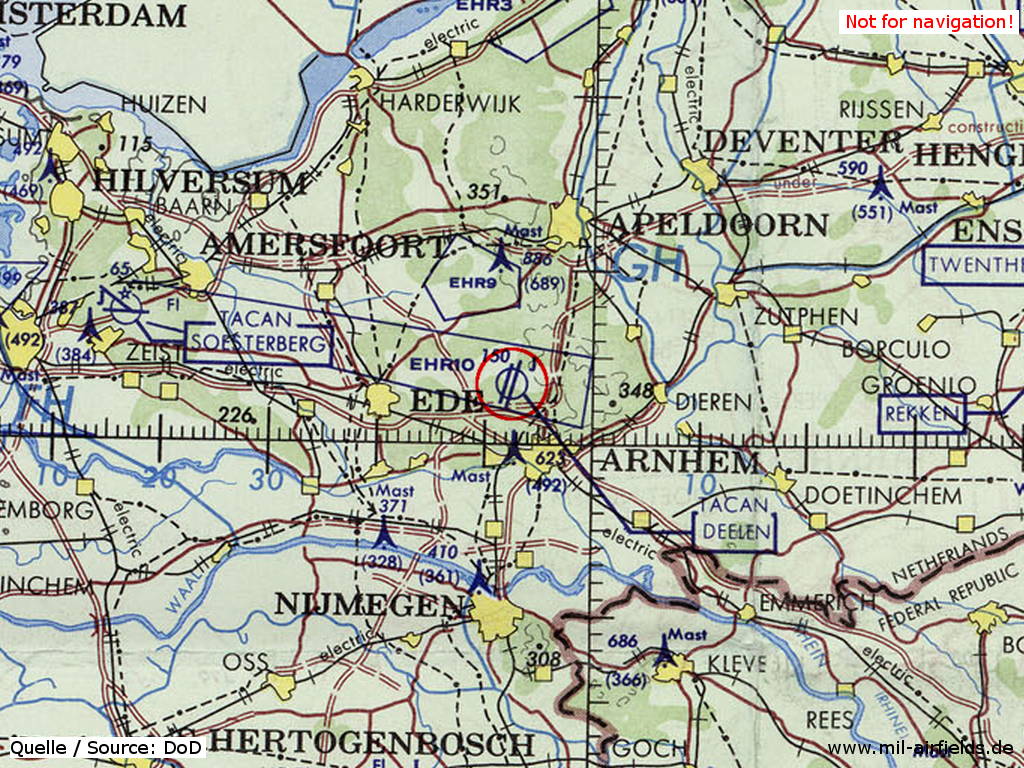
Deelen Air Base on a map of the US Department of Defense from 1972
Source: ONC E-2 (1972), Perry-Castañeda Library Map Collection, University of Texas at Austin
Overview
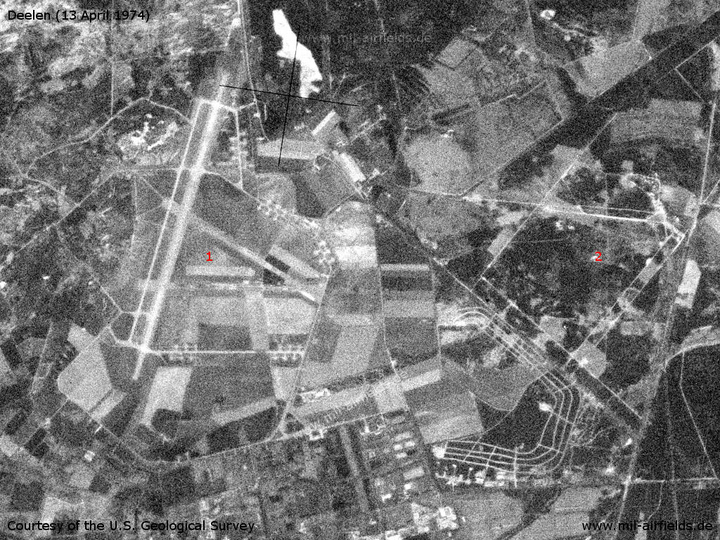
The area Deelen / Schaarsbergen on a US satellite image from 13 April 1974 - 1: Deelen airfield; 2: Terlet airfield.
Source: U.S. Geological Survey
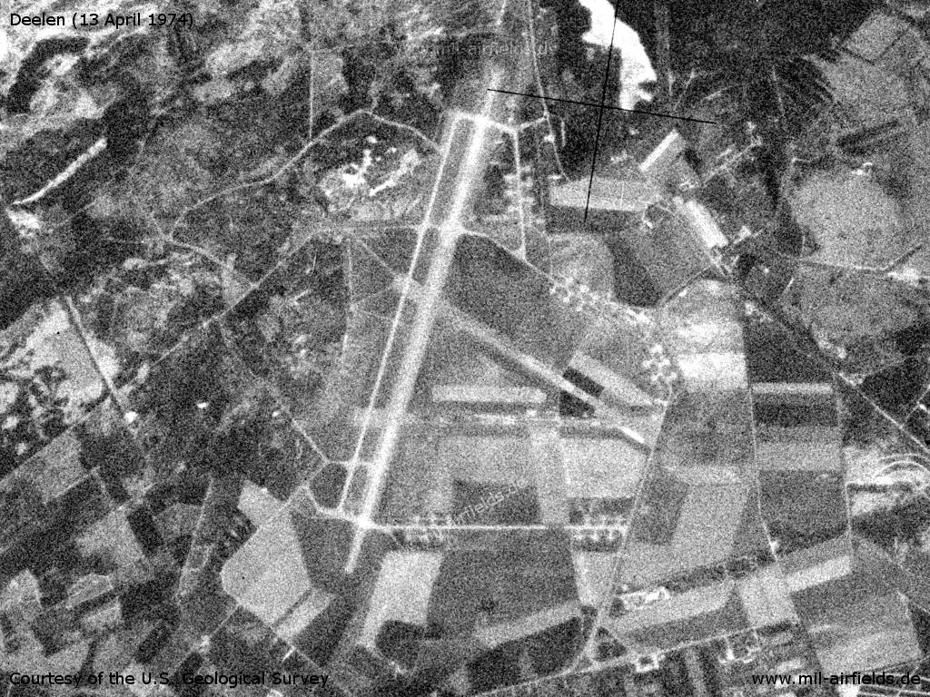
The airfield
Source: U.S. Geological Survey
In the 1980s and early 1990s
Runways
Data for the year 1990:
- 02R/20L: 2677 m x 50 m Asphalt
Radio beacons
Data for the year 1990:
- TACAN: CH59 "DLN", at field
Today
Use
Helicopter training area.
Links
- https://www.museumdeelen.nl/ - Museum Deelen
- https://www.arnhemsoorlogsmuseum.com/ - Stichting Arnhems Oorlogsmuseum 40-45 (Arnhem War Museum)
Airfields in the vicinity
Categories
Air Bases NetherlandsRecommended
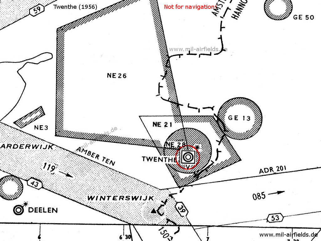
Image credits are shown on the respective target page, click on the preview to open it.
 Follow mil-airfields on Facebook