Słupia: Highway Strip
Debrzno Highway Strip, Drogowy odcinek lotniskowy (DOL)
For historical information only, do not use for navigation or aviation purposes!
| Coordinates | N533420 E0171545 (WGS84) Google Maps |
| Elevation | 540 ft |
The history of the Cold War airfields: Słupia
Usage during the Cold War
Highway Strip.
Runways
- 06/24
Images
The following pictures were taken in 2005
The "highway" is only a small road.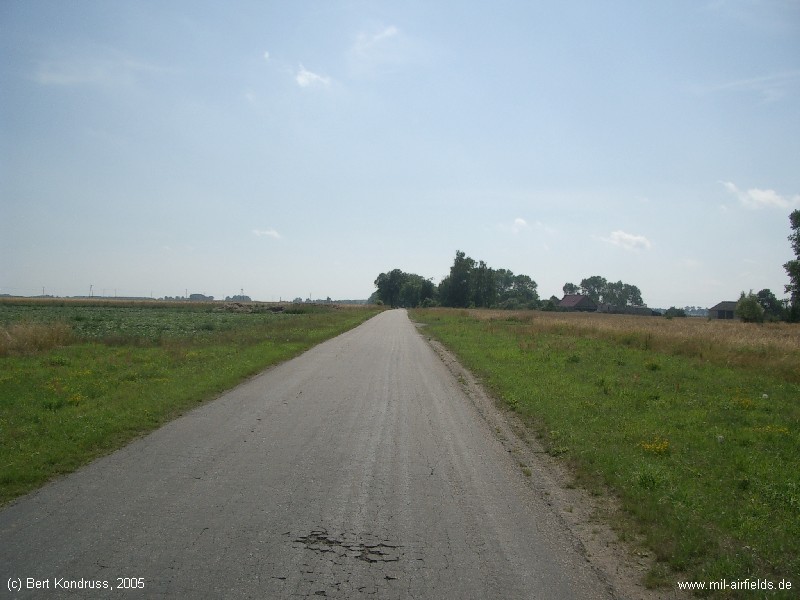
South-western end with ramp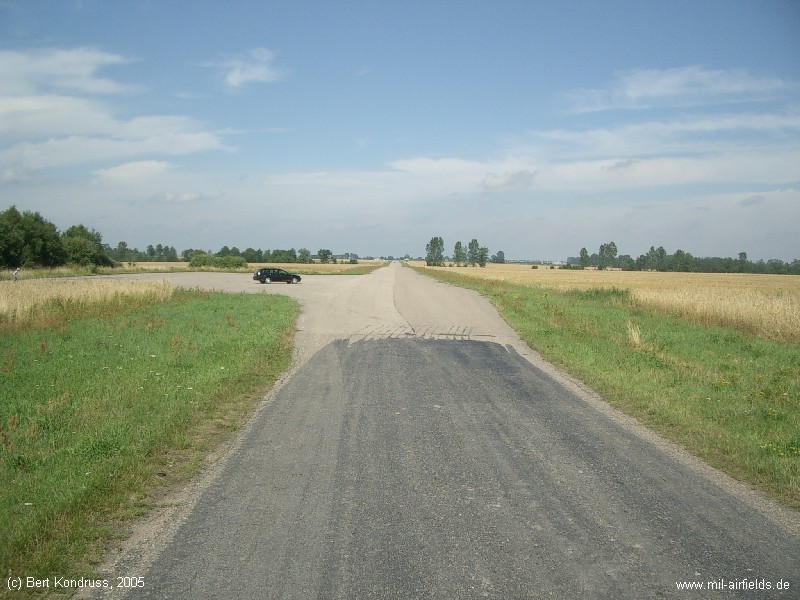
The highway strip looking northeast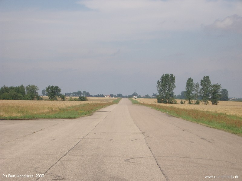
The northeastern end, close to the village of Słupia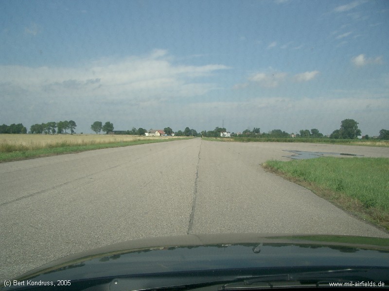
Airfields in the vicinity
- 183°/5km Debrzno: Airfield (Baza lotnicza Debrzno)
- 012°/29km Konarzny: Airfield
- 325°/33km Brzezie: Highway Strip (Brzezie Drogowy odcinek lotniskowy (DOL))
- 274°/36km Wilcze Laski: Airfield
- 332°/37km Pieniężnica: Airfield (Pienieznica, Lotnisko Pieniężnica)