Kołobrzeg: Air Base
Fliegerhorst Kolberg, Lotnisko Kolobrzeg, Bagicz, Аэродром Колобжег
For historical information only, do not use for navigation or aviation purposes!
| Coordinates | N541202 E0154110 (WGS84) Google Maps |
| Elevation | 20' |
| Voivodeship | West Pomeranian (Województwo zachodniopomorskie) |
The history of the Cold War airfields: Kołobrzeg
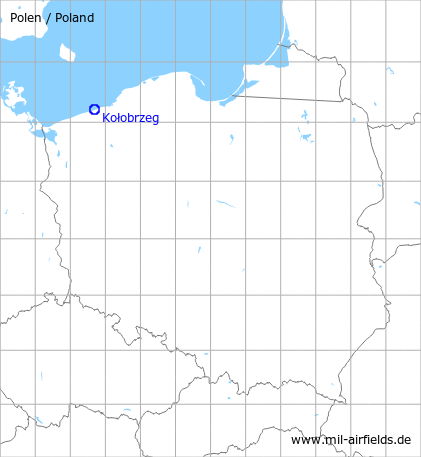
Location of airfield
6 km east of Kołobrzeg.
During World War II
Use
Luftwaffe airfield (Kolberg).
During the Cold War
Use
Soviet air base.
In the 1960s
Overview
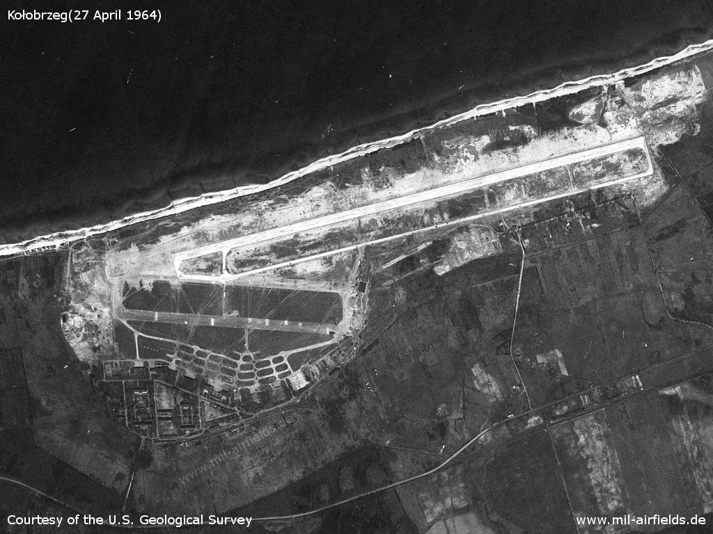
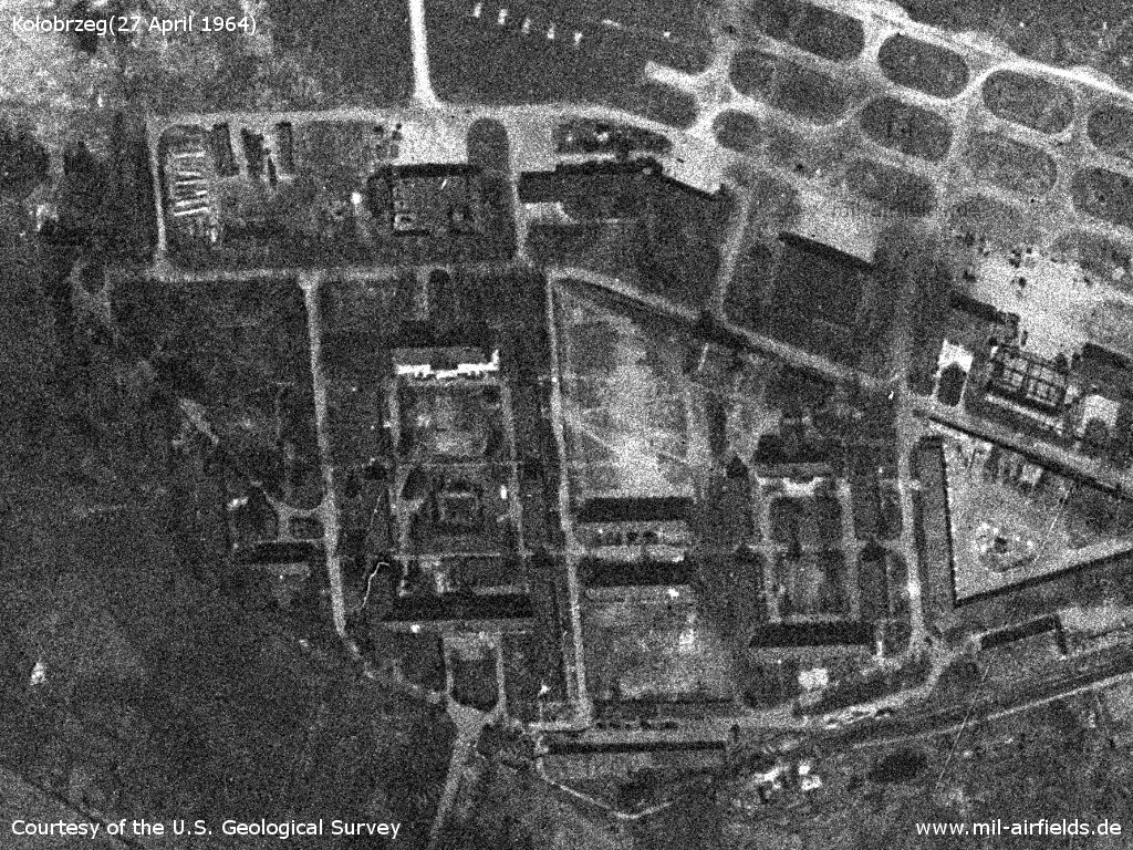
Kołobrzeg Air Base on a US satellite image from 27 April 1964
Source: U.S. Geological Survey
The structures of the old Luftwaffe Fliegerhorst are still good recognizable here.
Source: U.S. Geological Survey
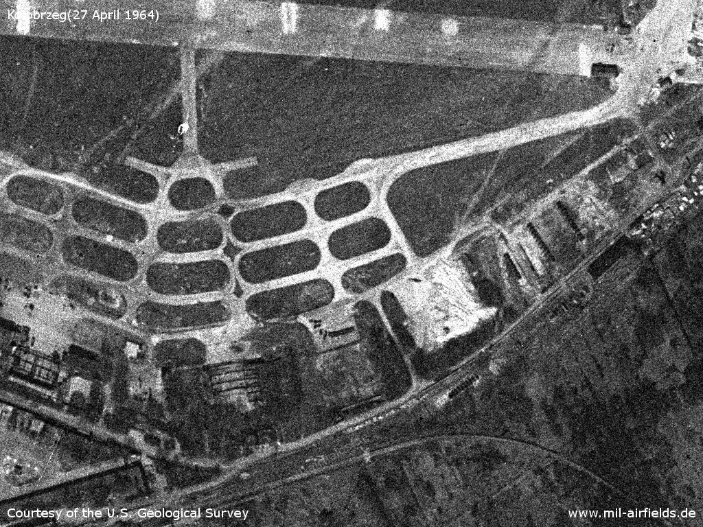
With the construction of a new runway, the field has been expanded to the east
Source: U.S. Geological Survey
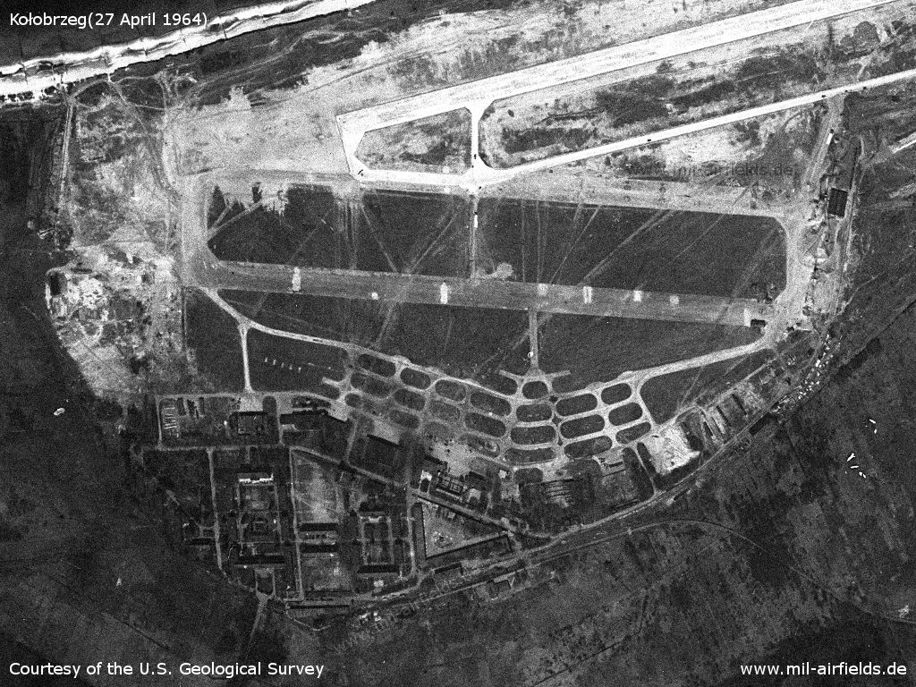
Barracks and hangars
Source: U.S. Geological Survey
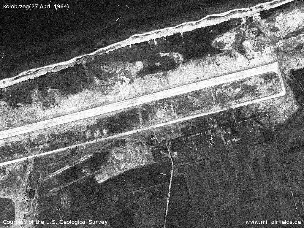
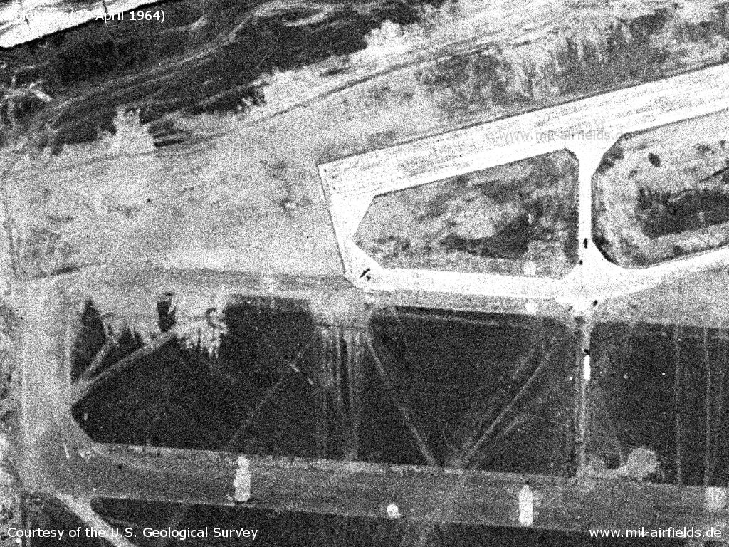
Hangars. At the bottom is the railway siding
Source: U.S. Geological Survey
A small aircraft is visible in the center of this picture
Source: U.S. Geological Survey
Radio communication
Radio call sign: MASANDRA (1965)
In the 1970s
Situation
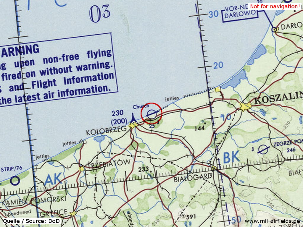
Kołobrzeg Air Base on a map of the US Department of Defense from 1972
Source: ONC E-2 (1972), Perry-Castañeda Library Map Collection, University of Texas at Austin
Overview
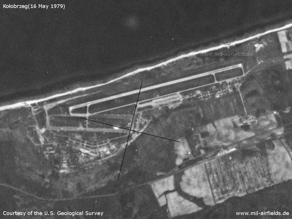
Kołobrzeg Bagicz Air Base on a US satellite image from 16 May 1979
Source: U.S. Geological Survey
In the 1980s and early 1990s
Runways
- 075/255: 2500 m x 40 m
Radio beacons
- FFF: 372 "SJ"
- NFF: 751 "S / K"
Radio communication
Radio call sign: SWJASNOY (СВЯЗНОЙ).
Units
Installations
"Garrison and airfield of total area of 537,6 hectares. 41 air-sheds, 200 buildings of different appriopriation. Fuel station of 13 thousand meters3 capacity. Complex of inhabitation buildings (18) and barracks (16)." (Source: www.bicc.de)
Additional information
On the July 4th, 1989, a pilot ejected from a MiG-23 shortly after take-off. The plane continued to Belgium, where it crashed into a house, killing one people on the ground. On its way, the MiG was intercepted by F-15s from the 32nd TFS from Soesterberg.
Today
Use
Transfered to Polish authorities on May 28th, 1992 (Source: www.bicc.de). Closed.
Images
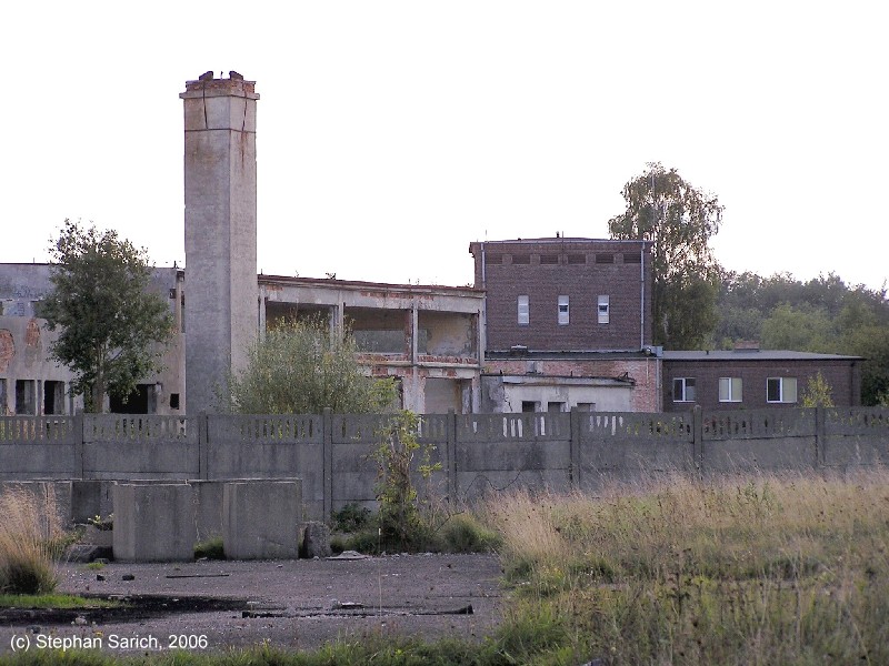
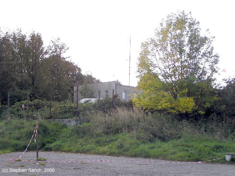
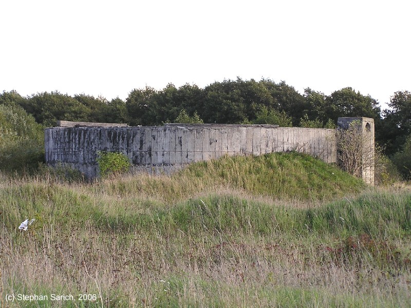
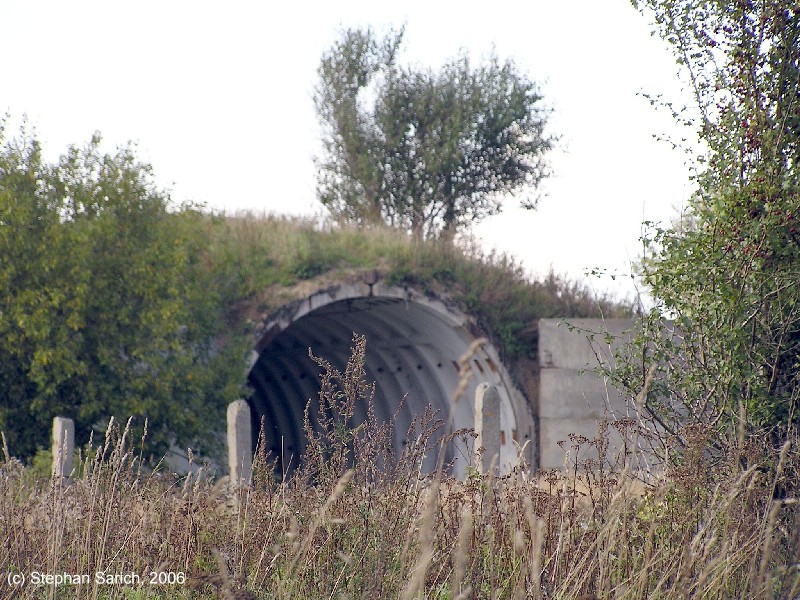
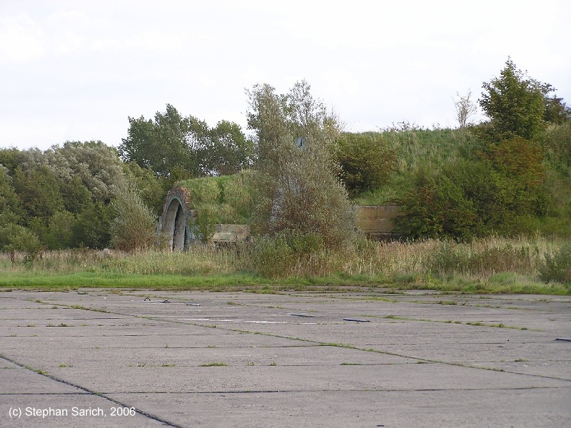
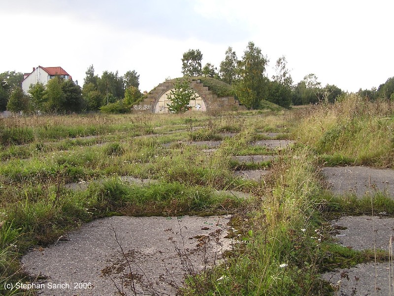
The following pictures were taken in 2006. Courtesy of Stephan Sarich.
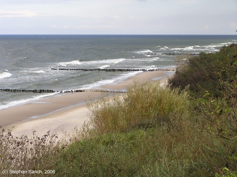
Baltic coast
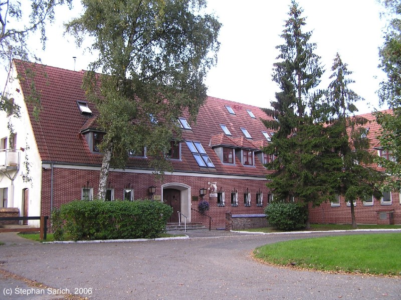
These buildings probably come from the old air base.
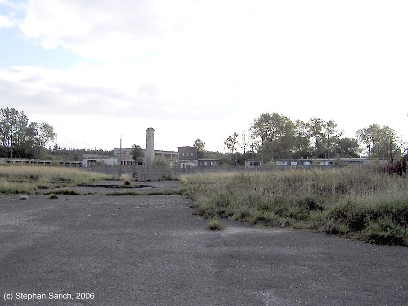
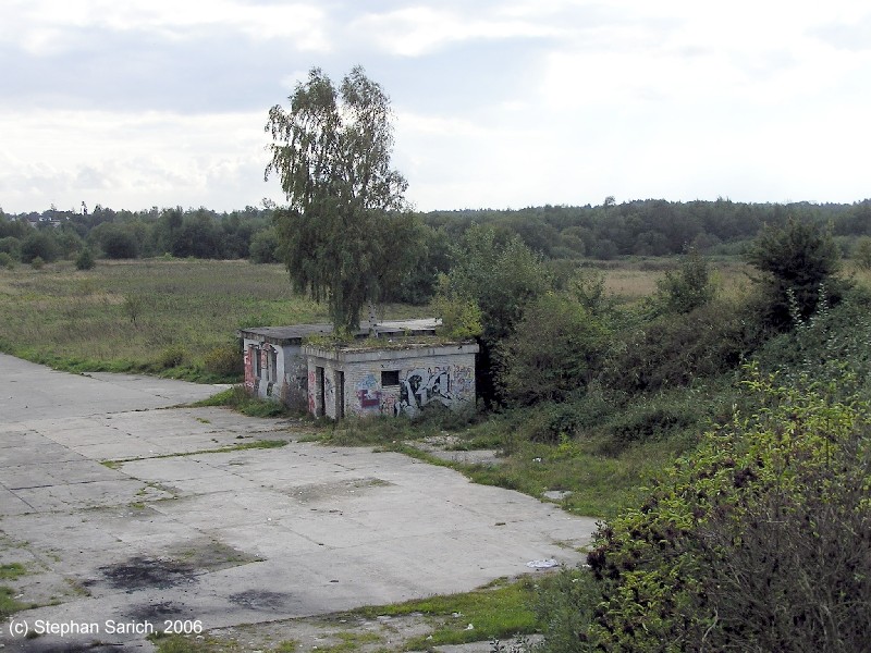
Air base facilities
Air base facilities
Air base facilities
Air base facilities
Shelter
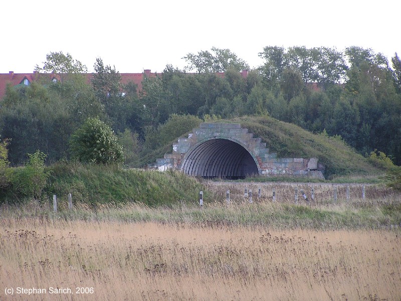
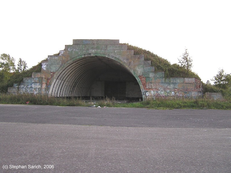
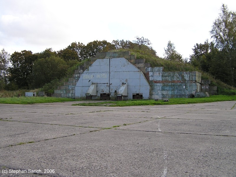
Aircraft shelter with closed doors
View from above
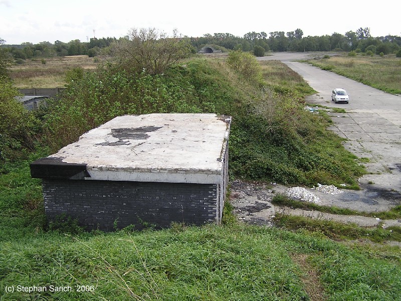
View from above
Airfields in the vicinity
Categories
Air Bases PolandRecommended
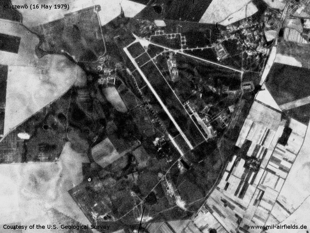
Image credits are shown on the respective target page, click on the preview to open it.
 Follow mil-airfields on Facebook