For historical information only, do not use for navigation or aviation purposes!
| Coordinates | N493517 E0171228 (WGS84) Google Maps |
| Elevation | 853 ft |
| Location indicator | LKOL |
The history of the Cold War airfields: Olomouc
During World War II
Usage until 1945
Flugplatz Olmütz-Neredin
During the Cold War
In the 1960s
Overview
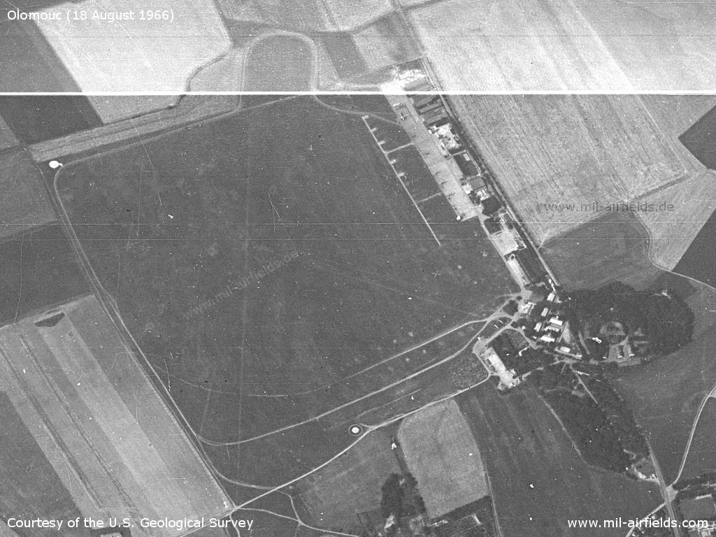
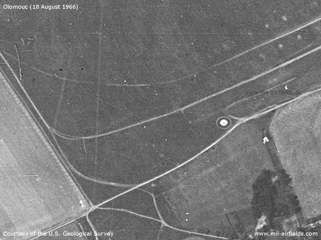
Olomouc Airfield on a US satellite image from 18 August 1966 - The viewing direction is approximately west. The picture shows 1 plane and about 17 helicopters.
Source: U.S. Geological Survey
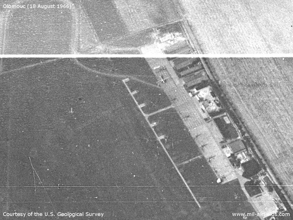
Enlargement: Aircraft and helicopters
Source: U.S. Geological Survey
Barracks in the northern corner
Source: U.S. Geological Survey
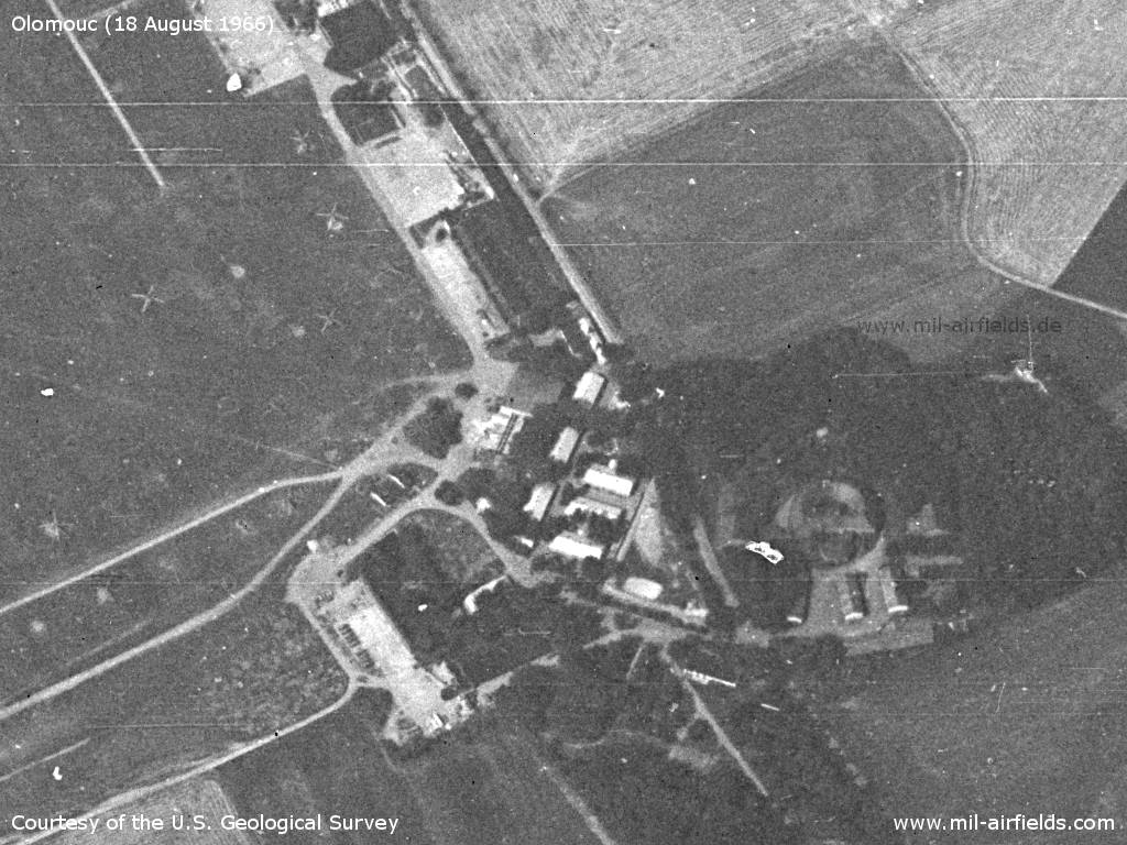
Eastern part
Source: U.S. Geological Survey
In the 1970s
Situation
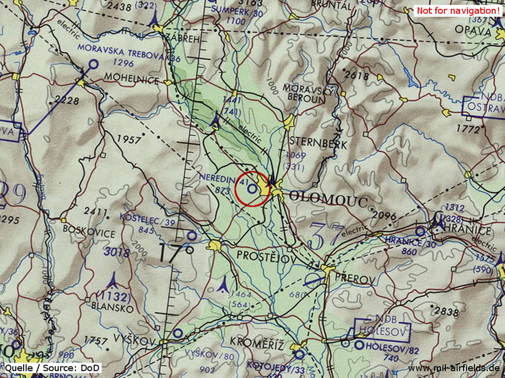
Olomouc Airfield on a map of the US Department of Defense from 1973
Source: ONC E-3 (1973), Perry-Castañeda Library Map Collection, University of Texas at Austin
Additional information
US satellite interpretation March - May 1973:
Status: operational
3 Mi-4 HOUND, 6 Mi-1/Mi-2 HARE/HOPLITE
18 Anti-Aircraft Artillery pieces
1 FLAP WHEEL (probably)
Status: operational
3 Mi-4 HOUND, 6 Mi-1/Mi-2 HARE/HOPLITE
18 Anti-Aircraft Artillery pieces
1 FLAP WHEEL (probably)
In the 1980s and early 1990s
Use
Soviet helicopter base.
Overview
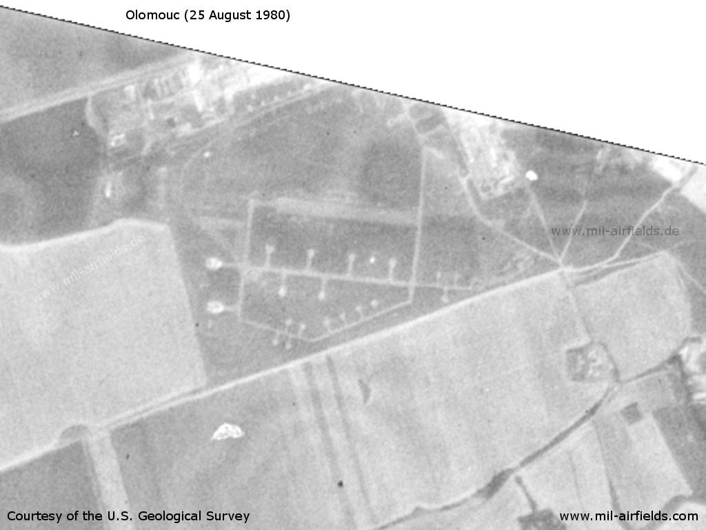
Southern part of Olomouc Airfield on a US satellite image from 25 August 1980 - At this time, the motorway to the west of the field does not yet exist.
Source: U.S. Geological Survey
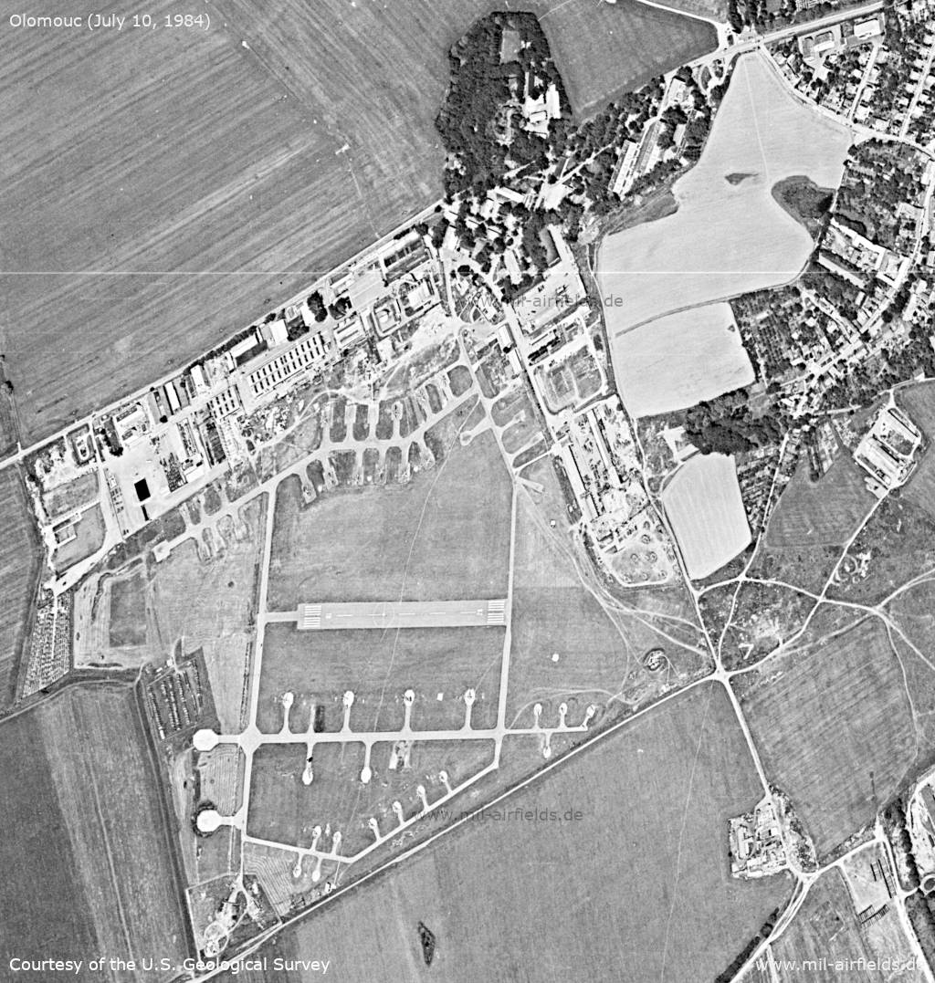
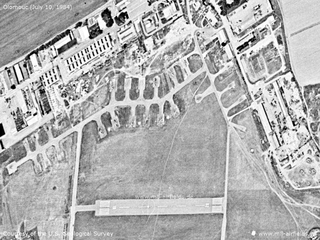
Satellite image from July 10, 1984. - Viewing direction is approximately north. Compared to the 1980 image, a taxiway now exists from the west end of the runway to the north. In addition, the parking area to the north seems to have been further extended
Source: U.S. Geological Survey
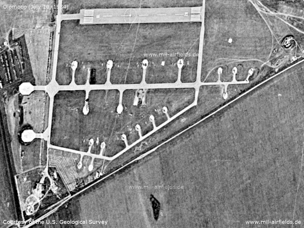
Enlargement: Northern part - Barracks and parking pads occupied by helicopters. At the right edge of the picture in the lower half there seems to be an anti-aircraft position. Today, the facilities to the north are largely demolished.
Source: U.S. Geological Survey
Enlargement: Southern part - The runway has the direction 10/28 and probably serves primarily for helicopters of the type Mil Mi-6 which need a short runway.
Source: U.S. Geological Survey
Radio beacons
- NDB: 711 "PM"
Radio communication
Call sign "PRUJAKUM" (ПРУЯКУМ) or "PRUZKUM" (198x).
According to western signals intelligence (SIGINT), the airfield was also called "Navigacni Punkt 280" by the Czechoslovak Air Force.
Units
??? Mi-6, Mi-8, Mi-17 (1990)
Today
Use
General aviation.
Images
The following pictures were taken in October 2010.
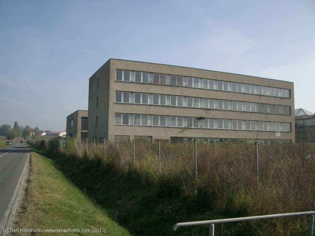
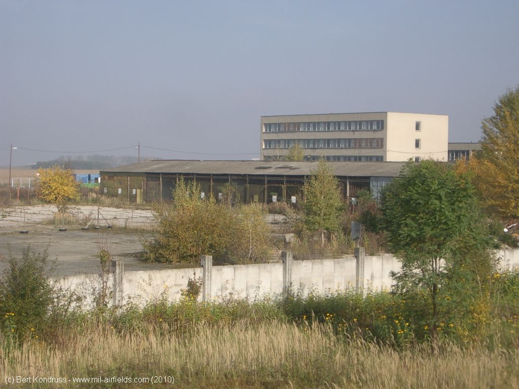
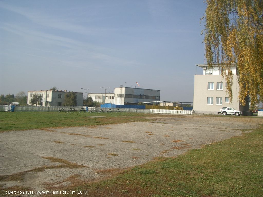
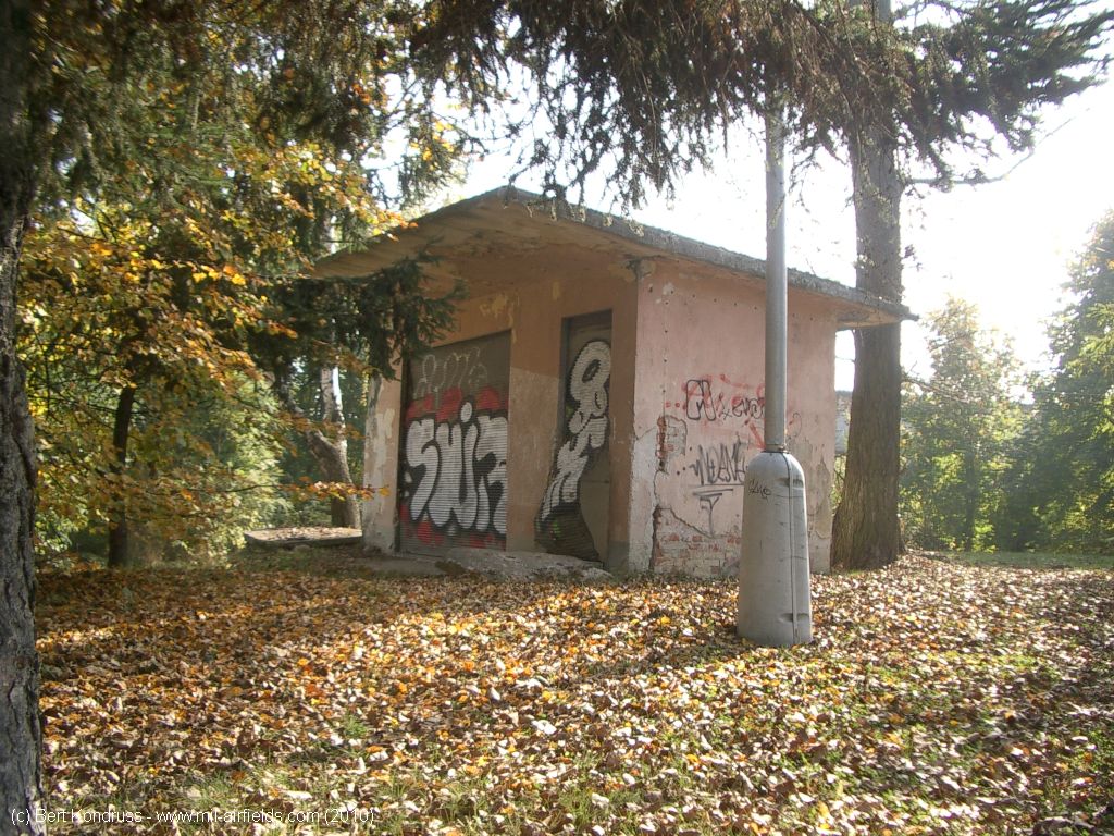
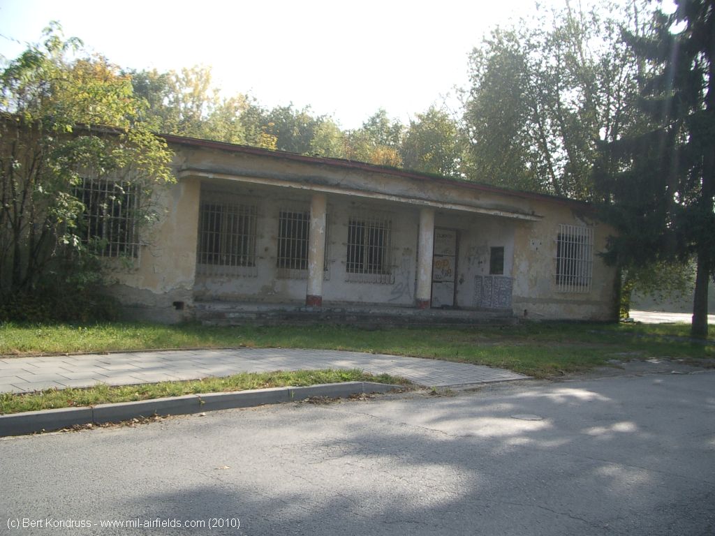
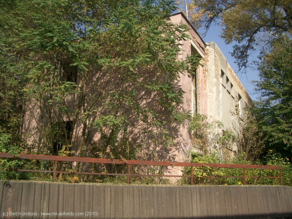
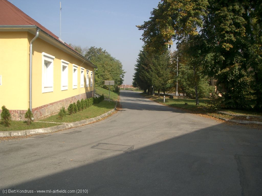
Buildings in the north of the airfield
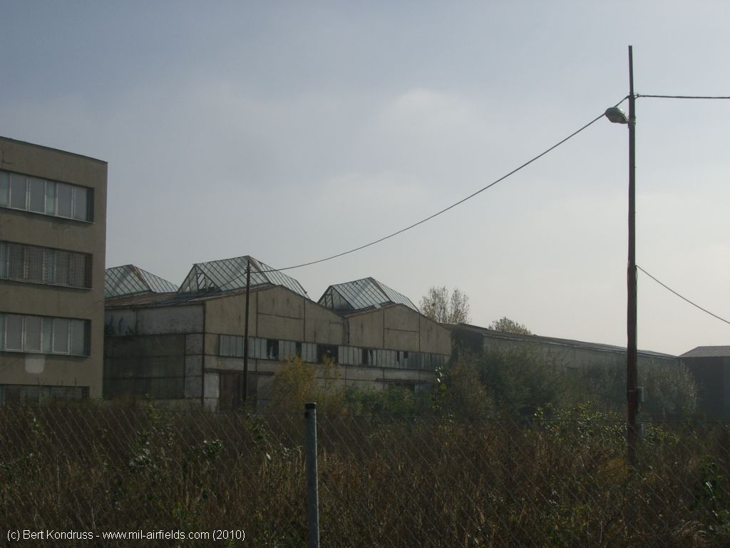
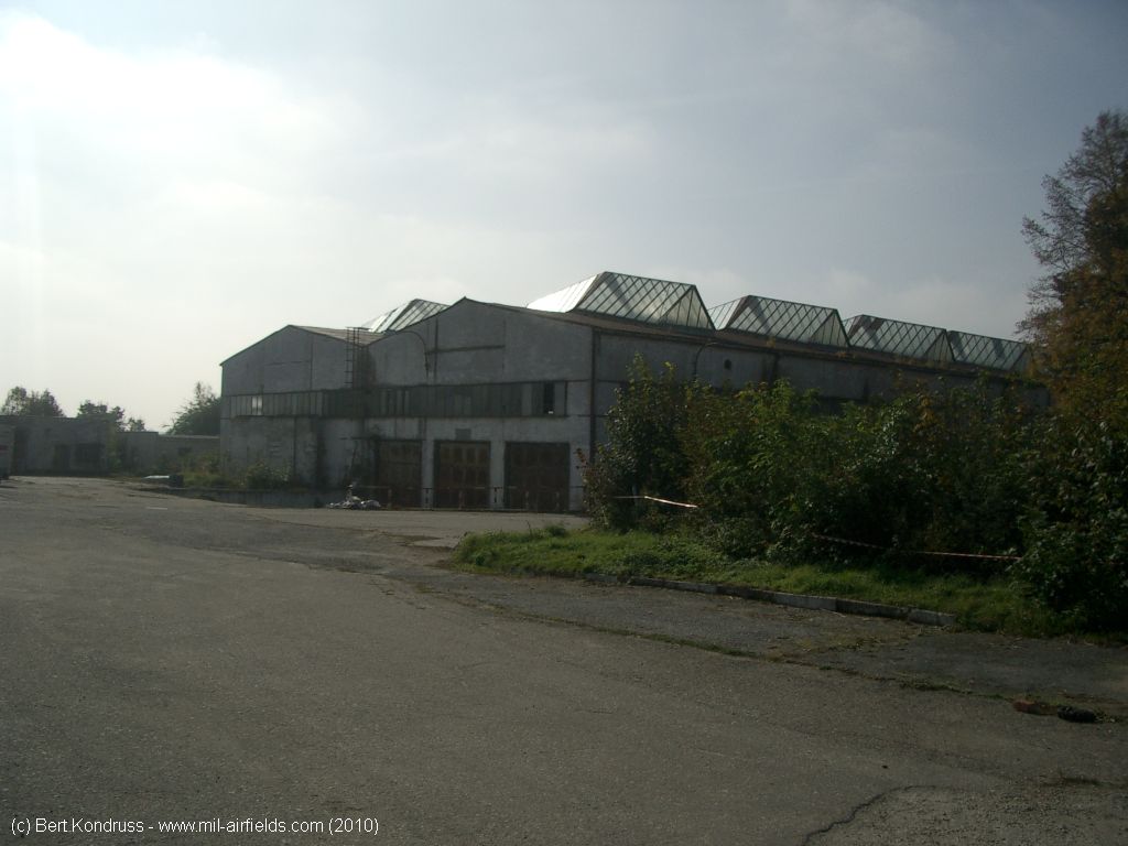
These old halls have since been demolished
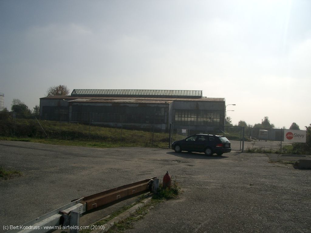
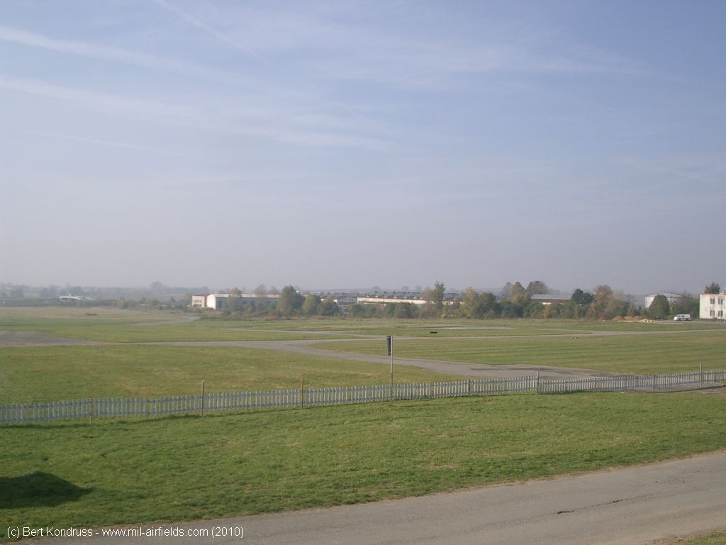
At the western end, near the motorway
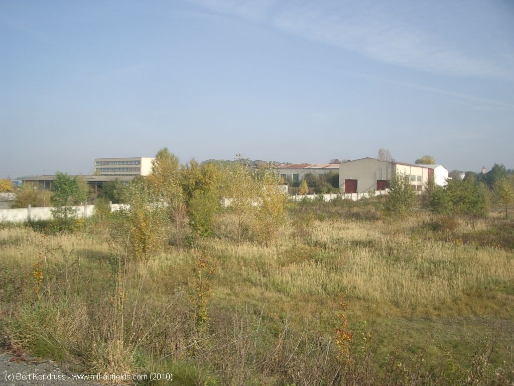
Looking approximately northeast
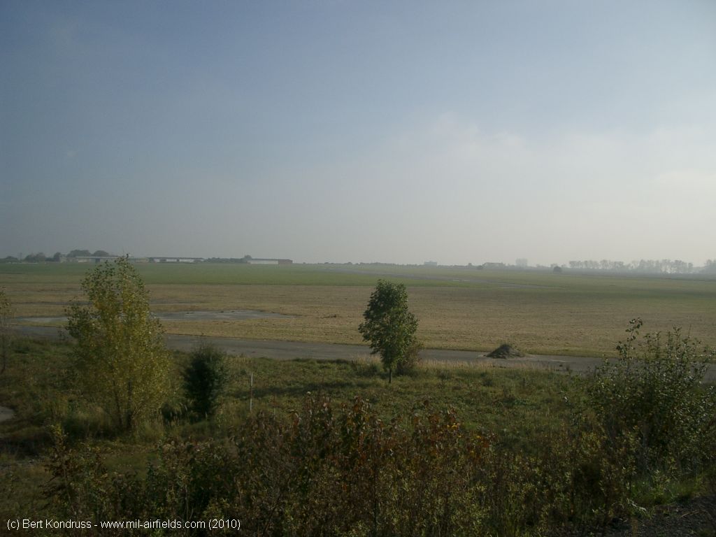
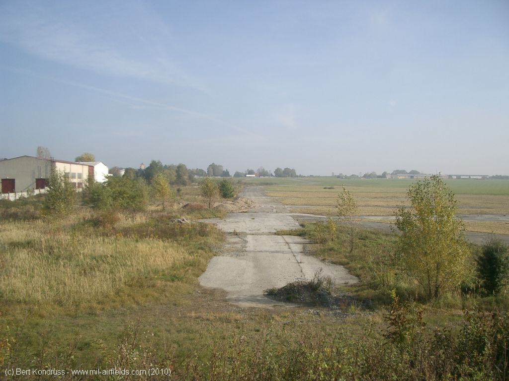
Movement area
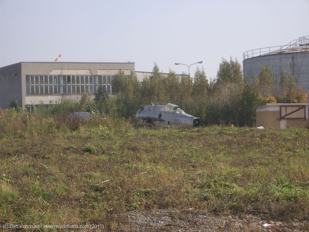
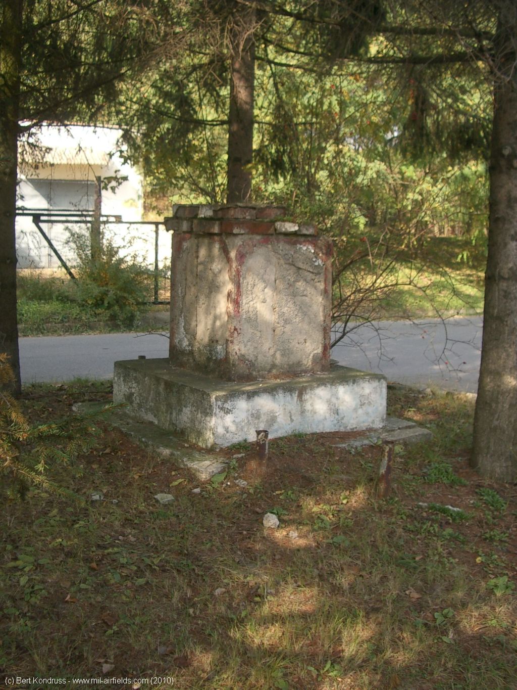
Remains of the Czech Air Force MiG-21UM 3051
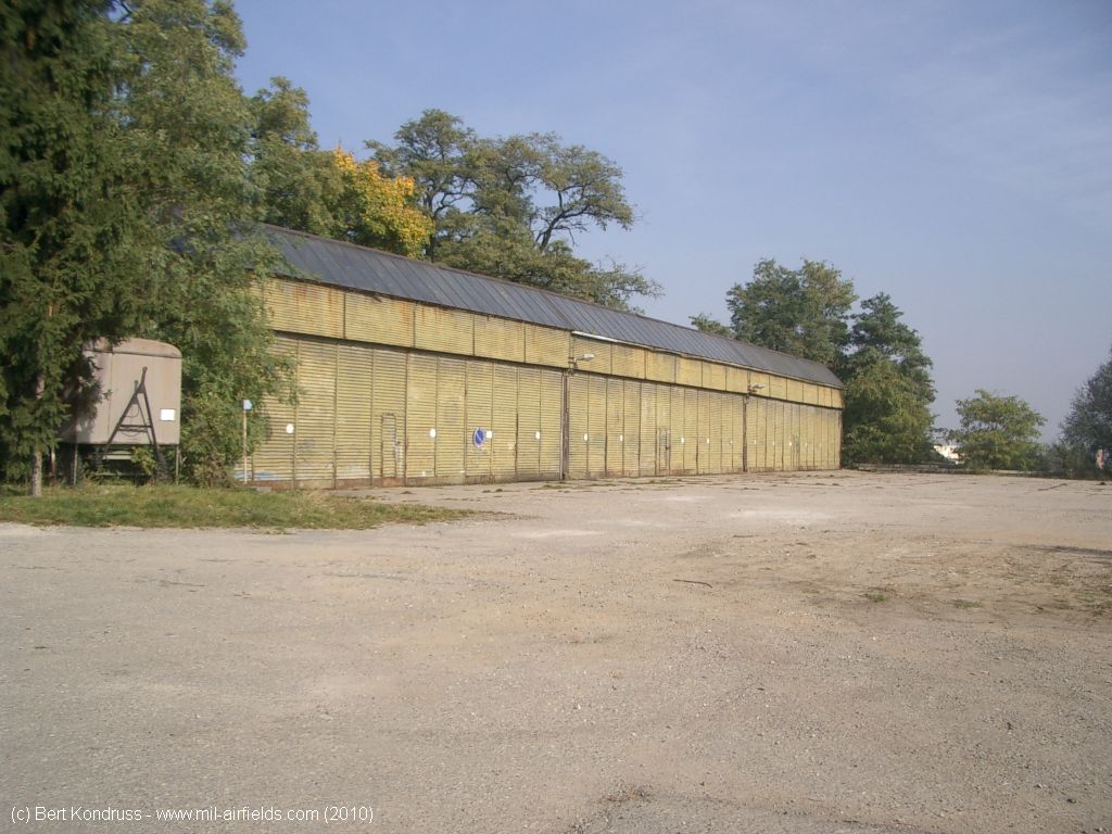
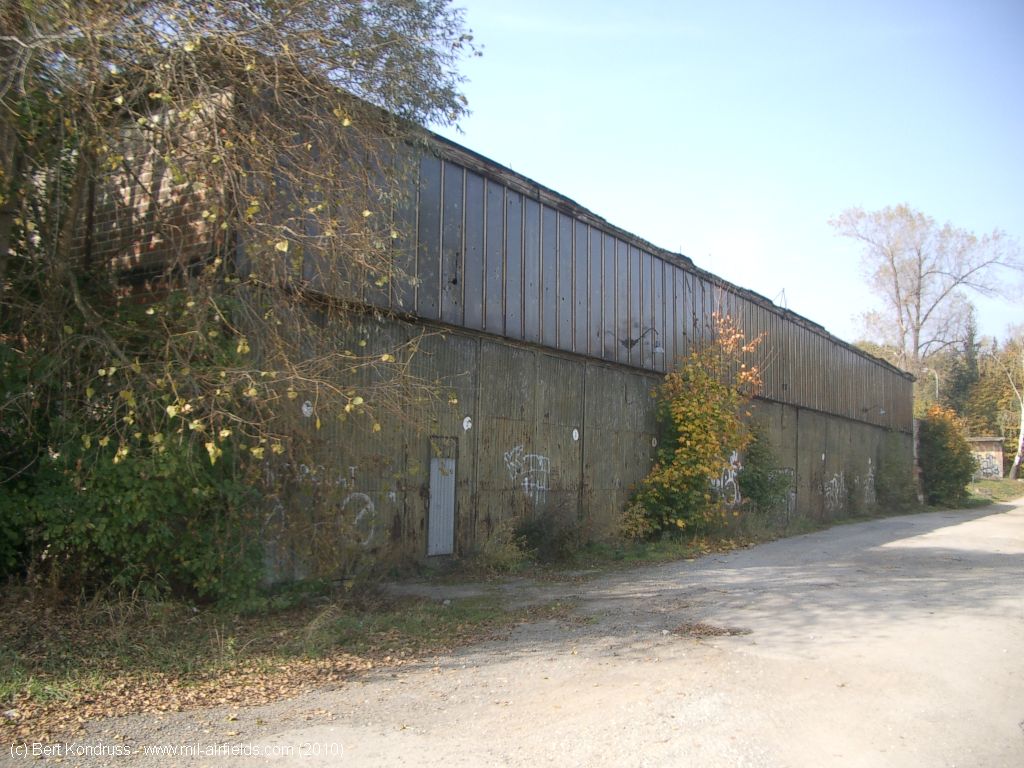
Hall at the northern tip of the airfield
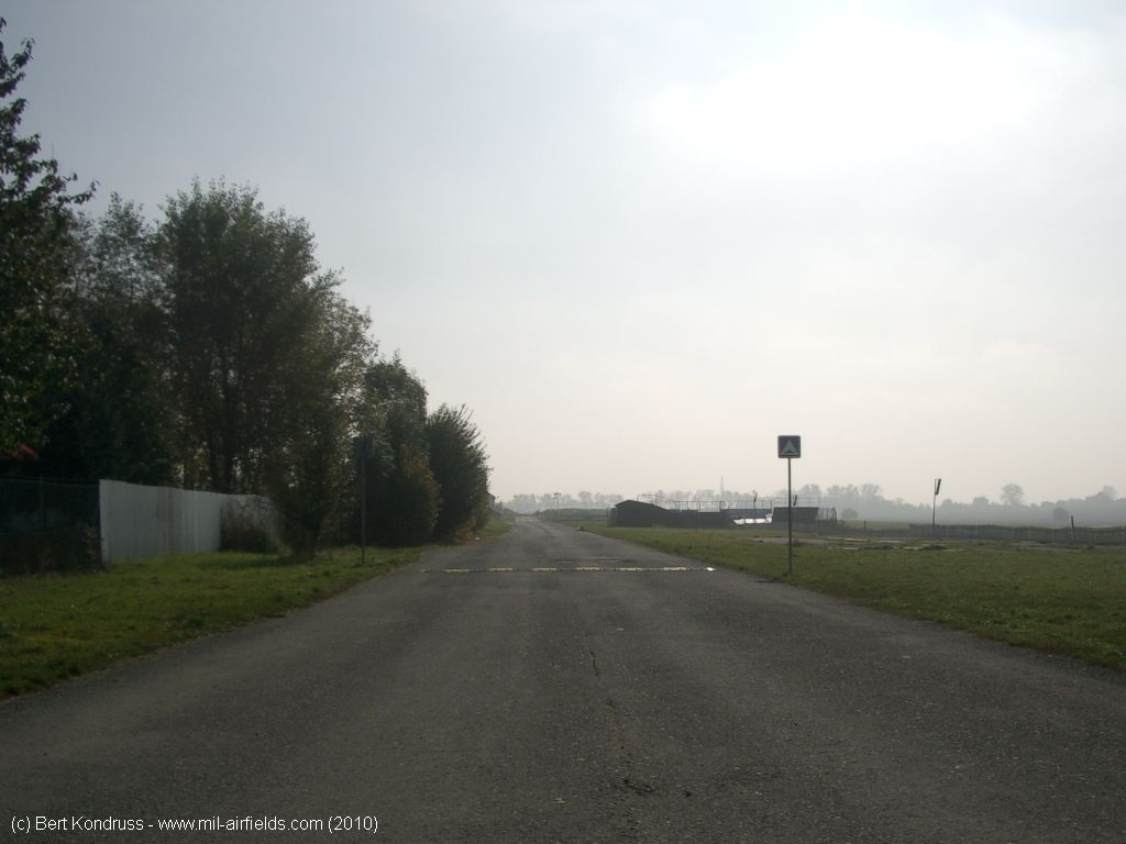
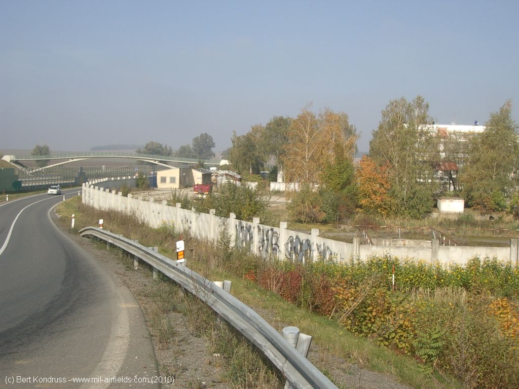
Road on the east side of the airfield
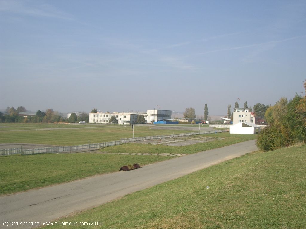
Viewing direction approximately north
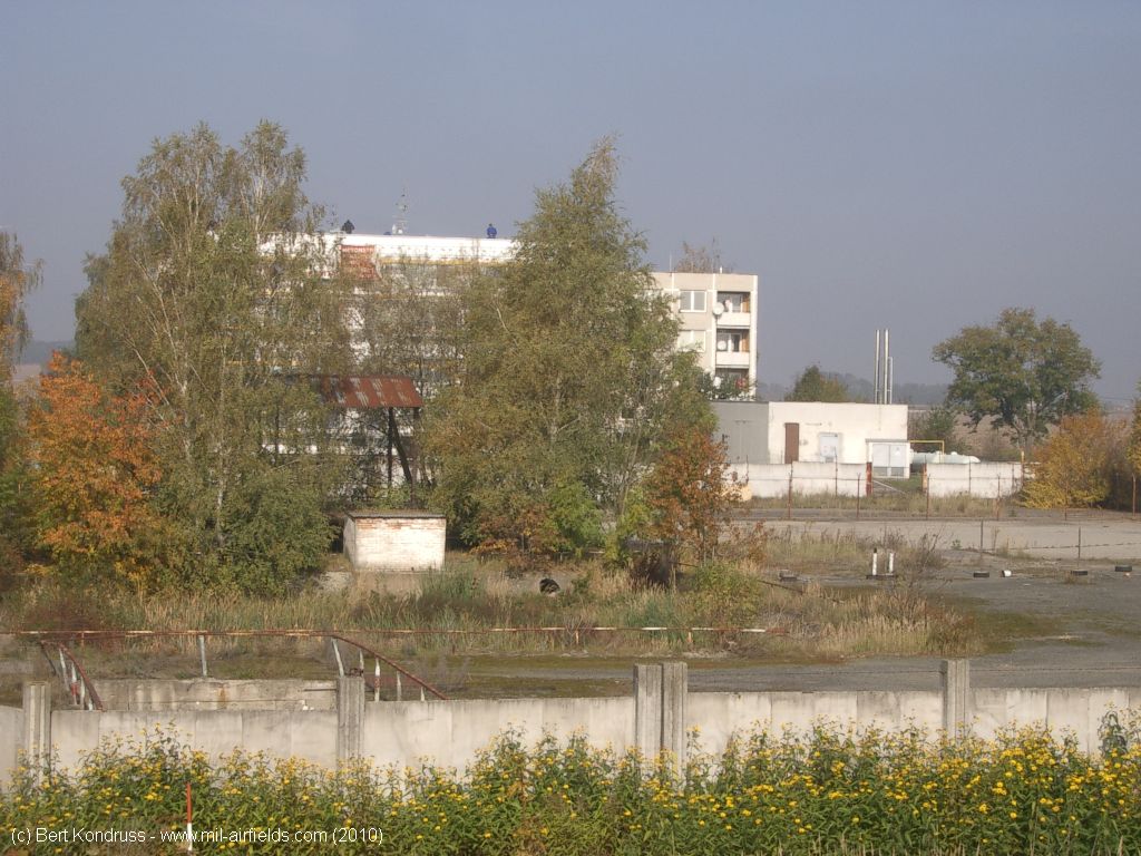
Former parking areas for helicopters
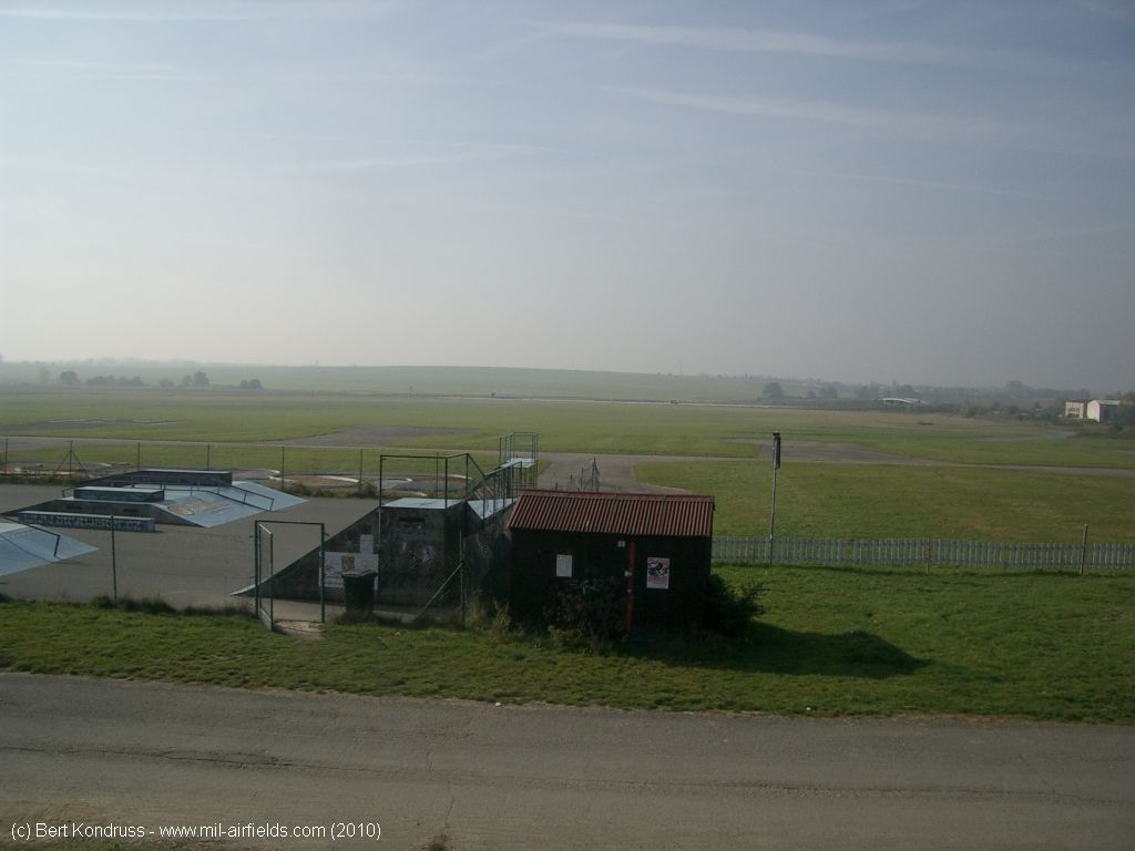
At the eastern edge
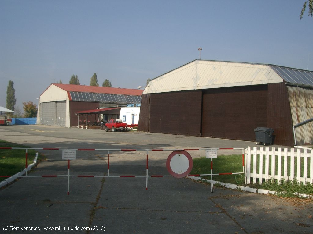
Hangars
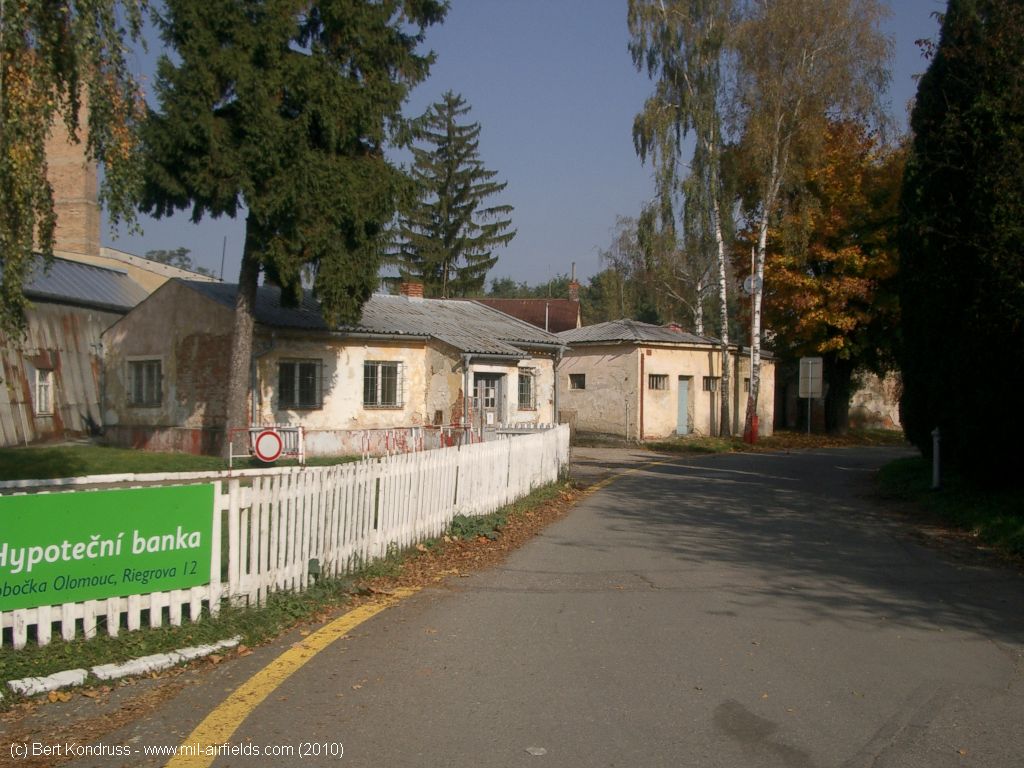
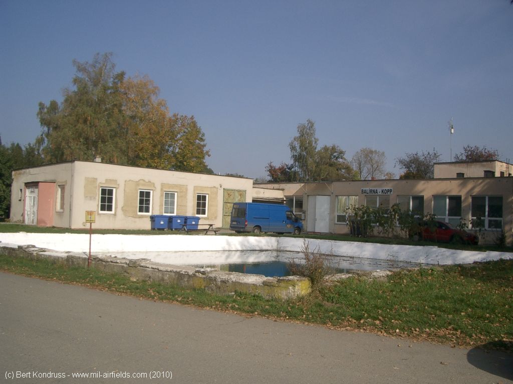
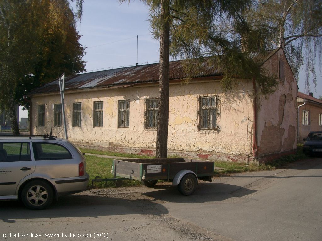
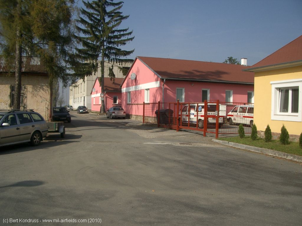
Buildings
Sources
- https://www.usgs.gov/ - USGS U.S. Geological Survey
Bibliography
- Ries, Karl; Dierich, Wolfgang: "Fliegerhorste und Einsatzhäfen der Luftwaffe" Motorbuch Verlag Stuttgart, 1993 - Allied map from 194x
Airfields in the vicinity
- 199°/16km Prostějov: Airfield (Letiště Prostějov)
- 142°/23km Přerov: Air Base (Letiště Přerov, Bochor)
- 202°/35km Vyškov: Highway Strip
- 202°/35km Vyškov: Airfield (Letiště Vyškov)
Categories
Air Bases CzechiaRecommended
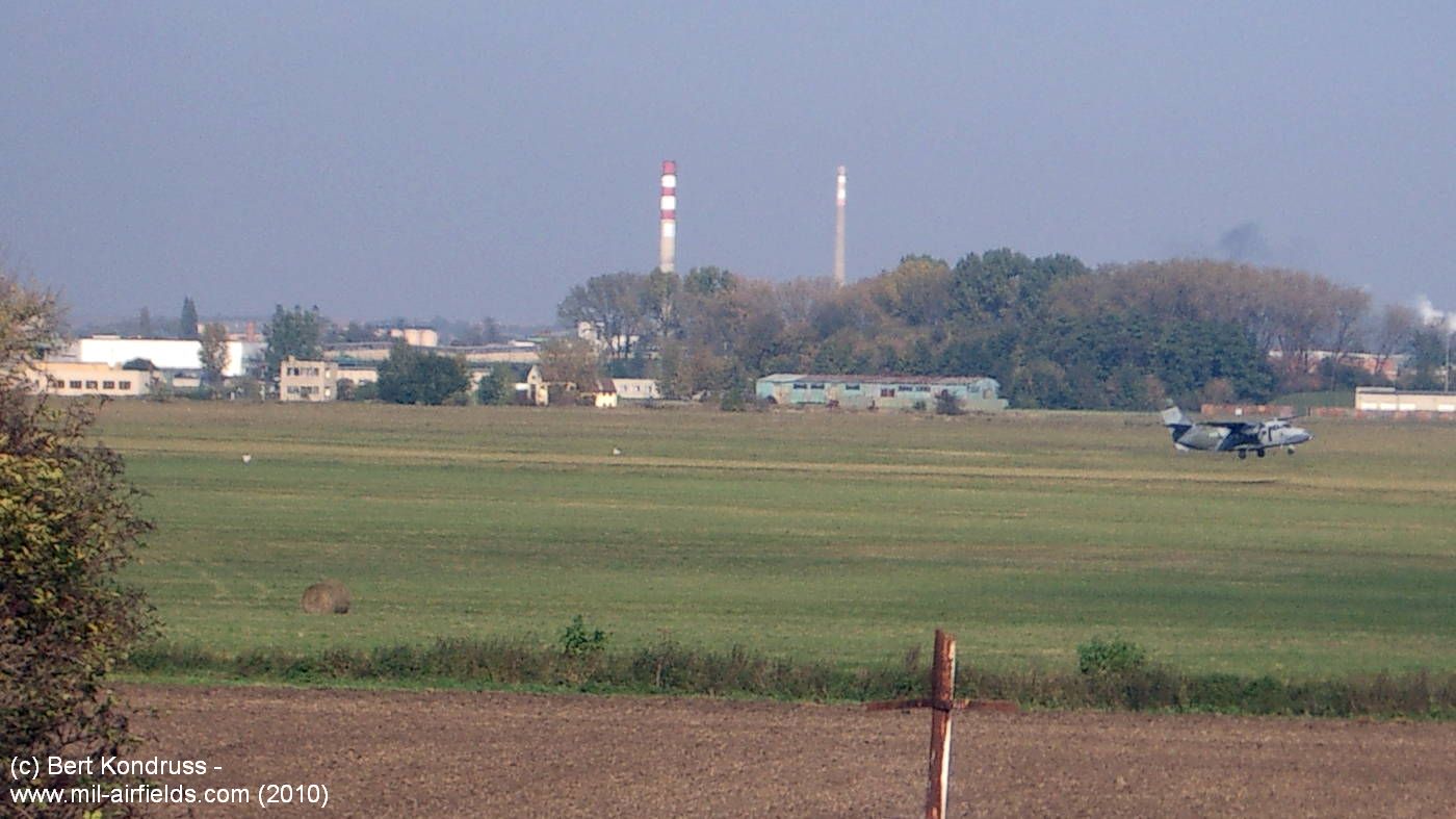
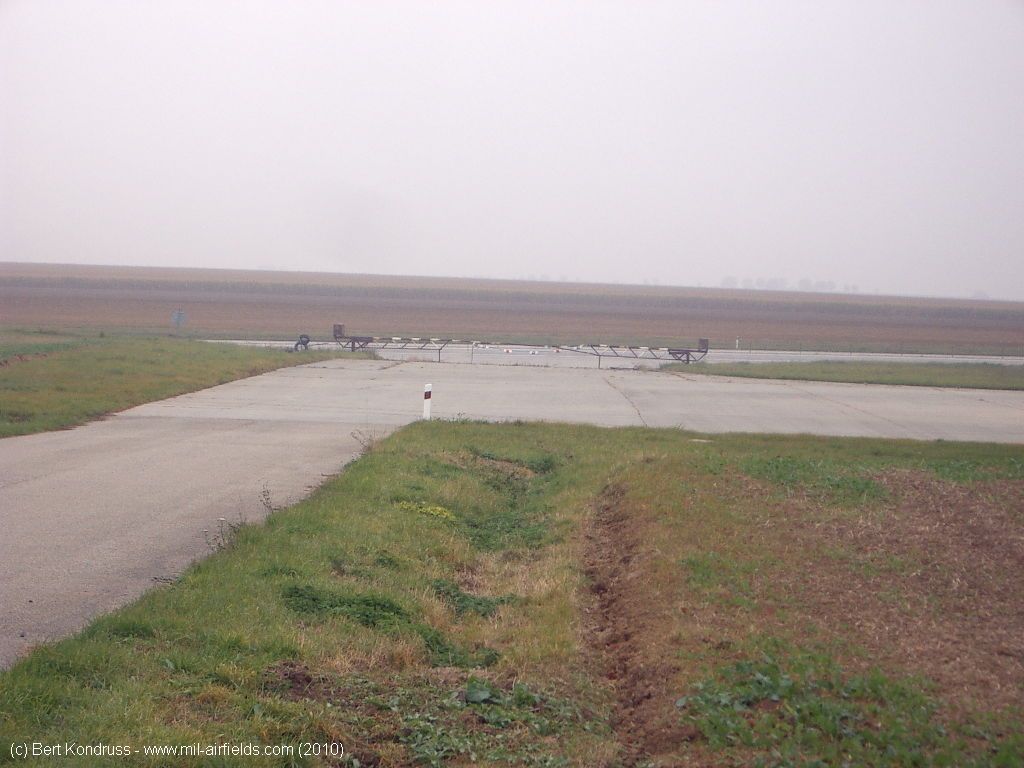
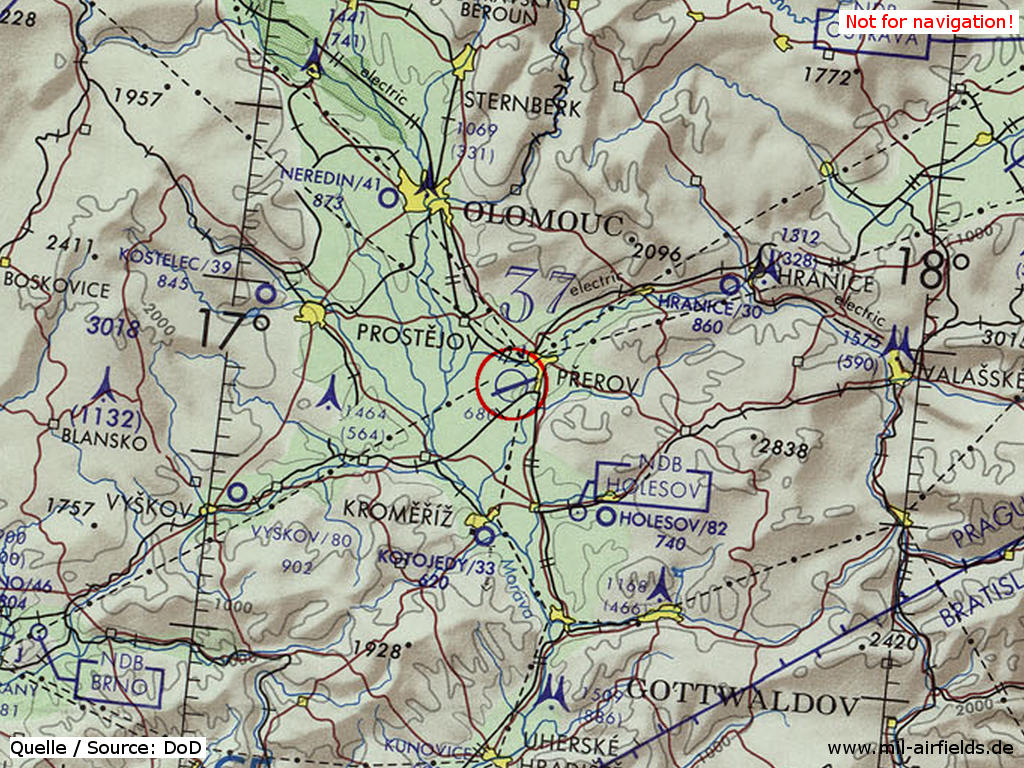
Image credits are shown on the respective target page, click on the preview to open it.