For historical information only, do not use for navigation or aviation purposes!
| Coordinates | N510700 E0110058 (WGS84) Google Maps |
| Elevation | 505 ft |
| Former East Germany (GDR) | District of Erfurt |
| Federal state | Thüringen (Thuringia) |
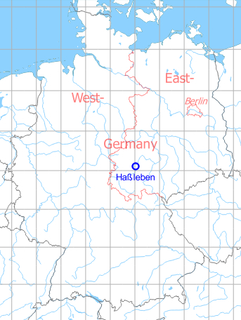
Germany during the Cold War Map
The history of the Cold War airfields: Hassleben
General
Hassleben was established as a reserve airfield for the Soviet armed forces. In the 1980s, a helicopter unit was stationed at the field. With the withdrawal of the Soviet troops in the early 1990s, the airfield was closed and dismantled.
During the Cold War
1970s
Use
Soviet reserve airfield
Situation
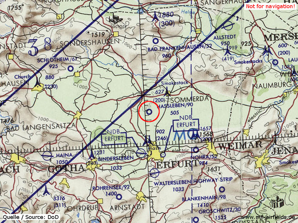
Haßleben Airfield on a map of the US Department of Defense from 1972 - The blue lines mark the southern allied air corridor from and to Berlin (ONC E-2 (1972), Perry-Castañeda Library Map Collection, University of Texas at Austin /PCL MC/)
Radio beacons
Data for the 1970s?
- LOM: 164 "ZP"
- LMM: 341 "Z"
Images
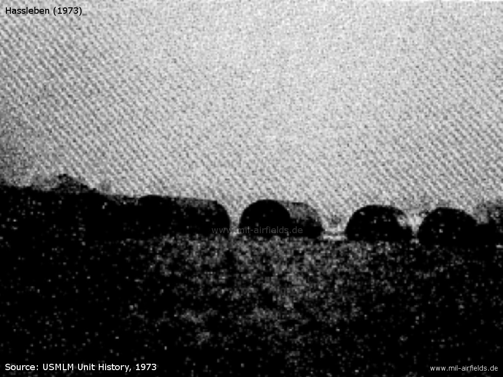
07 July 1973: Underground tanks - Observation by the US Military Liaison Mission: Construction of buildings and at least 35 underground tanks
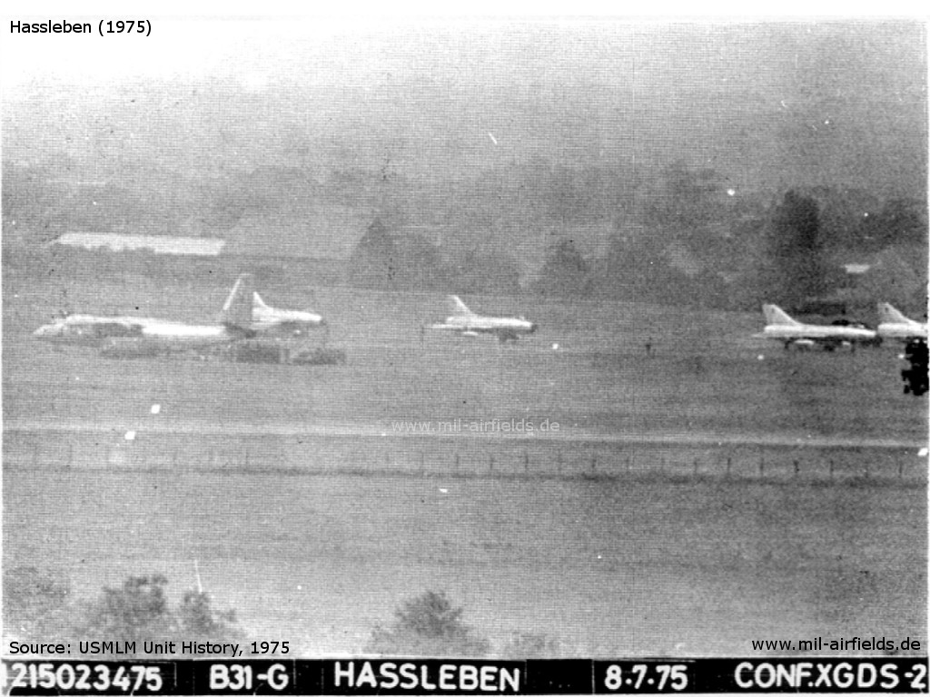
06 until 08 July 1975: Deployment from Großenhain - The USMLM observes a deployment of two squadrons Su-7 FITTER A from Großenhain to Hassleben, observed at the 06th, 07th and 08th July
Cross reference: Großenhain Air Base
1980s
Use
Soviet helicopter base. Probably the field can still be used as a reserve airfield.
Overview
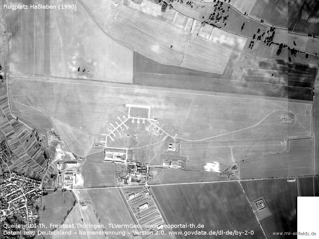
Haßleben on an aerial picture from October 1990. - (Source: GDI-Th, Freistaat Thüringen, TLVermGeo, www.geoportal-th.de, Data licence Germany – attribution – version 2.0, www.govdata.de/dl-de/by-2-0, /Geo Thür/)
Runways
Data for the year 1990:
- 10/28: 250 m hard surface, for helicopter
Communication
The call sign was PYLKI.
Coordination with other airfields
Zusammenarbeit zwischen der APP ERFURT und der FSS HASSLEBEN
Quelle: Anweisung für den zivilen Flugsicherungsdienst in der Deutschen Demokratischen Republik (AFD), 1985..1990
Das Flugsicherungsorgan des Flugplatzes HASSLEBEN ist bei Flugdienst am Flugplatz HASSLEBEN verpflichtet, über das Flugsicherungsorgan am Flugplatz NOHRA die APP ERURT über den Beginn und das Ende der Flüge sowie über die Flughöhen zu informieren.
Die APP Erfurt ist verpflichtet, das Flugsicherungsorgan des Flugplatzes HASSLEBEN über das Flugsicherungsorgan des Flugplatzes NOHRA über Zeit und Höhe der Flüge im CTR/TMA ERFURT zu informieren.
Bei Starts und Landungen von Luftfahrzeugen auf dem Flughafen ERFURT beträgt die Flughöhe in den Kunstflugzonen des Flugplatzes NOHRA und in der Platzrunde des Flugplatzes HASSLEBEN max. 300 m AGL.
Units
298 OVE: Mi-2, Mi-6, Mi-8, Mi-24
Images
Images from October 1990
(Source: GDI-Th, Freistaat Thüringen, TLVermGeo, www.geoportal-th.de, Data licence Germany – attribution – version 2.0, www.govdata.de/dl-de/by-2-0, /Geo Thür/)
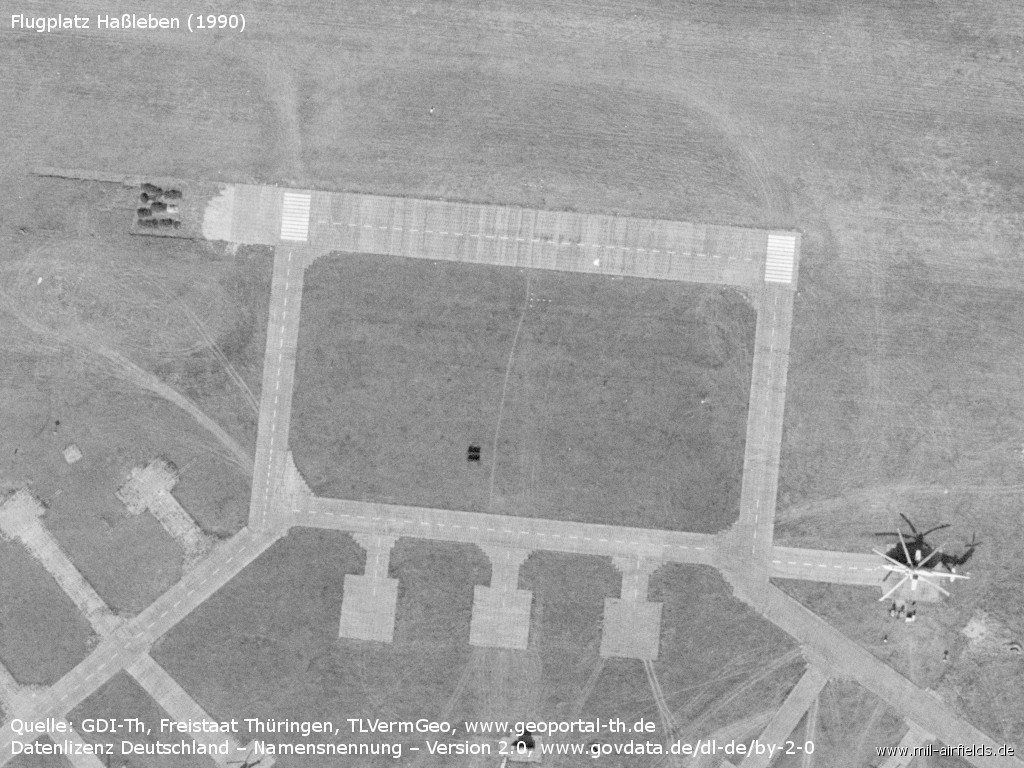
The 220 m long runway for helicopters, especially for Mi-6 and related models
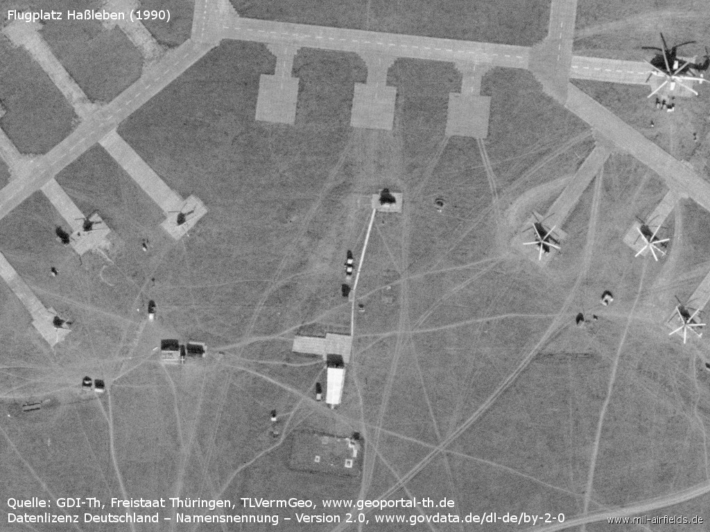
Control tower?
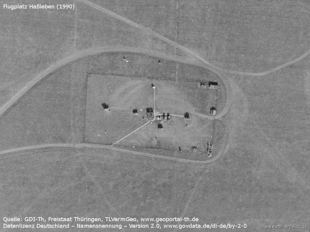
Radio beacon, about 1200 m east of the runway
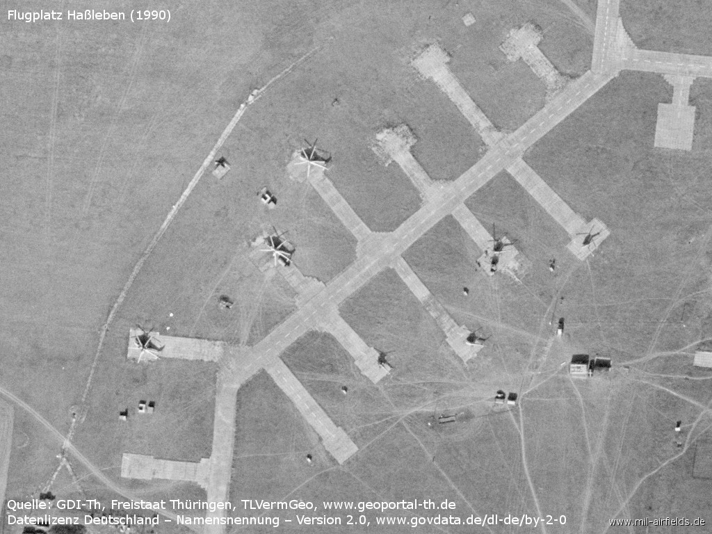
Helicopter hardstands, western side
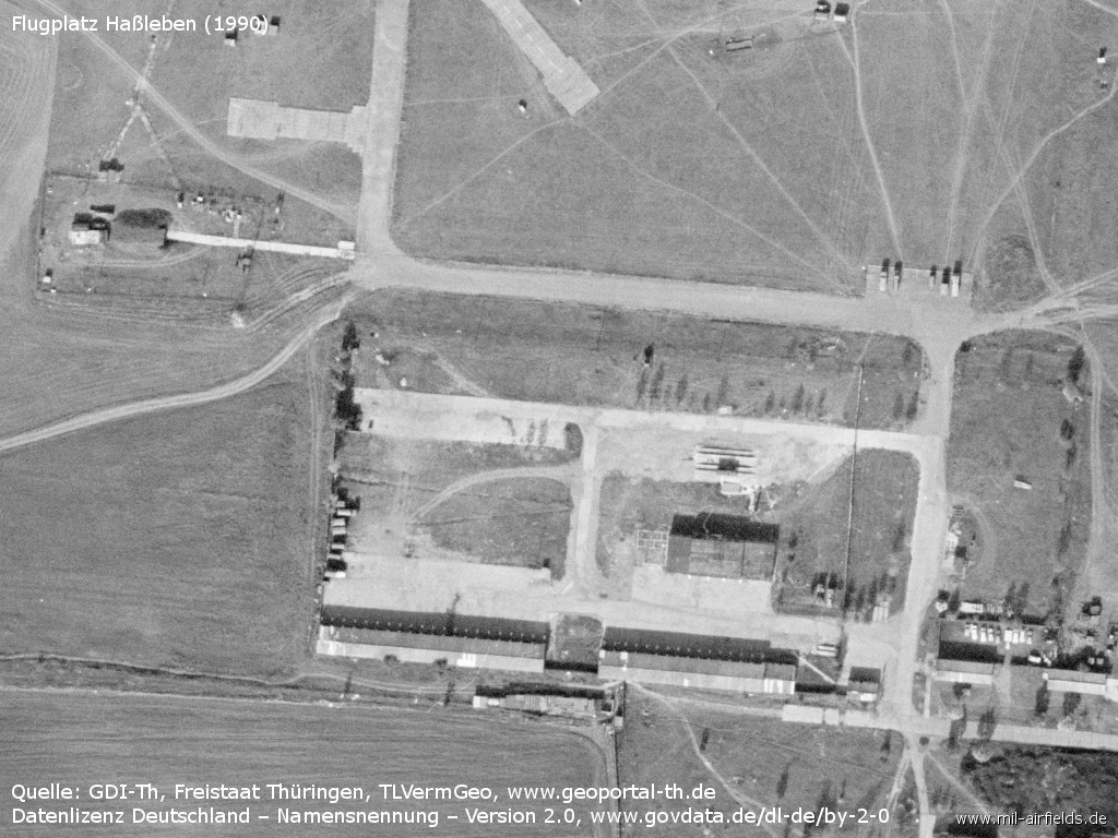
Buildings
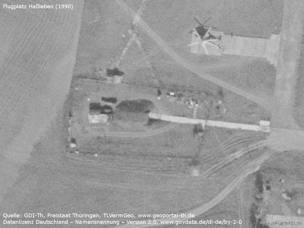
Enlargement
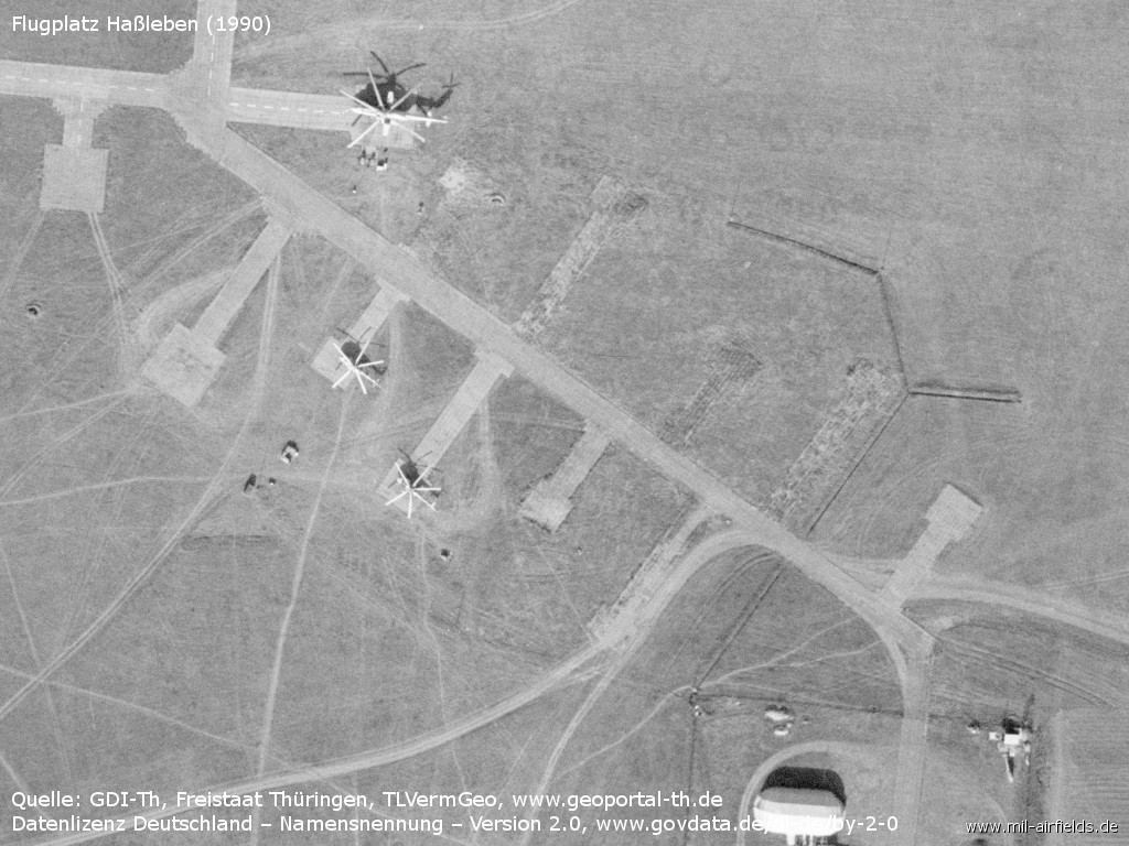
Helicopter hardstands, eastern side
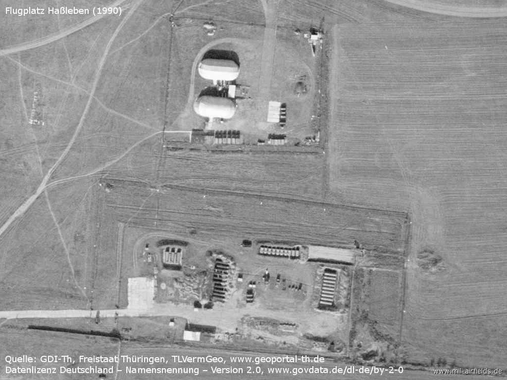
Installations
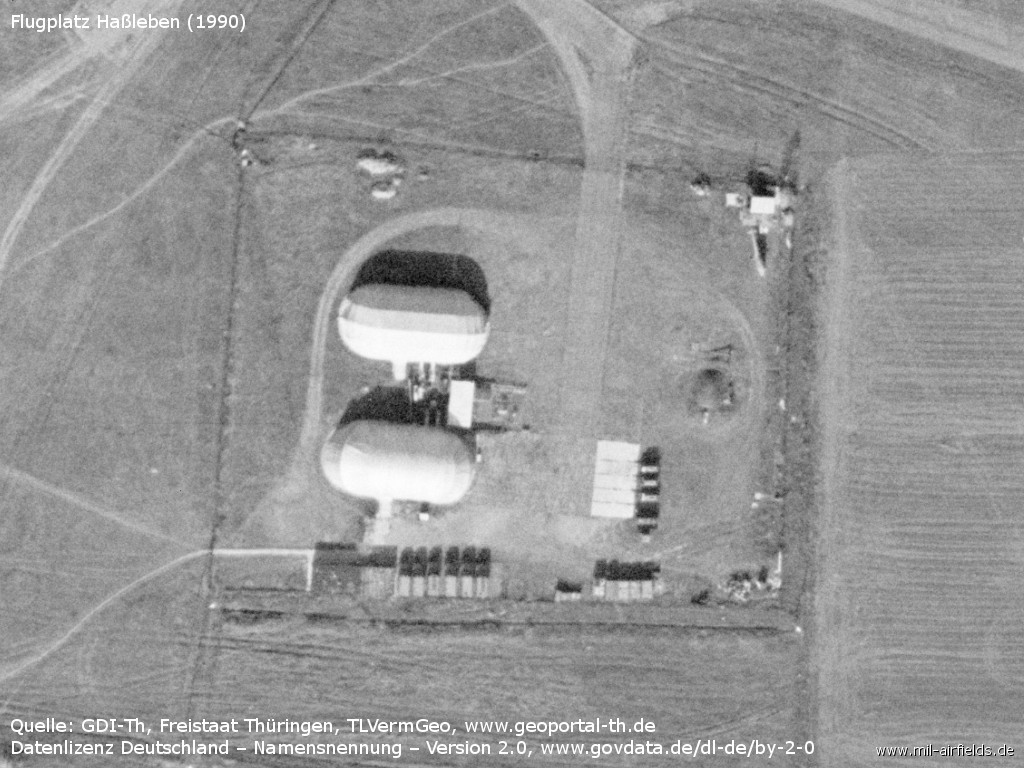
Halls
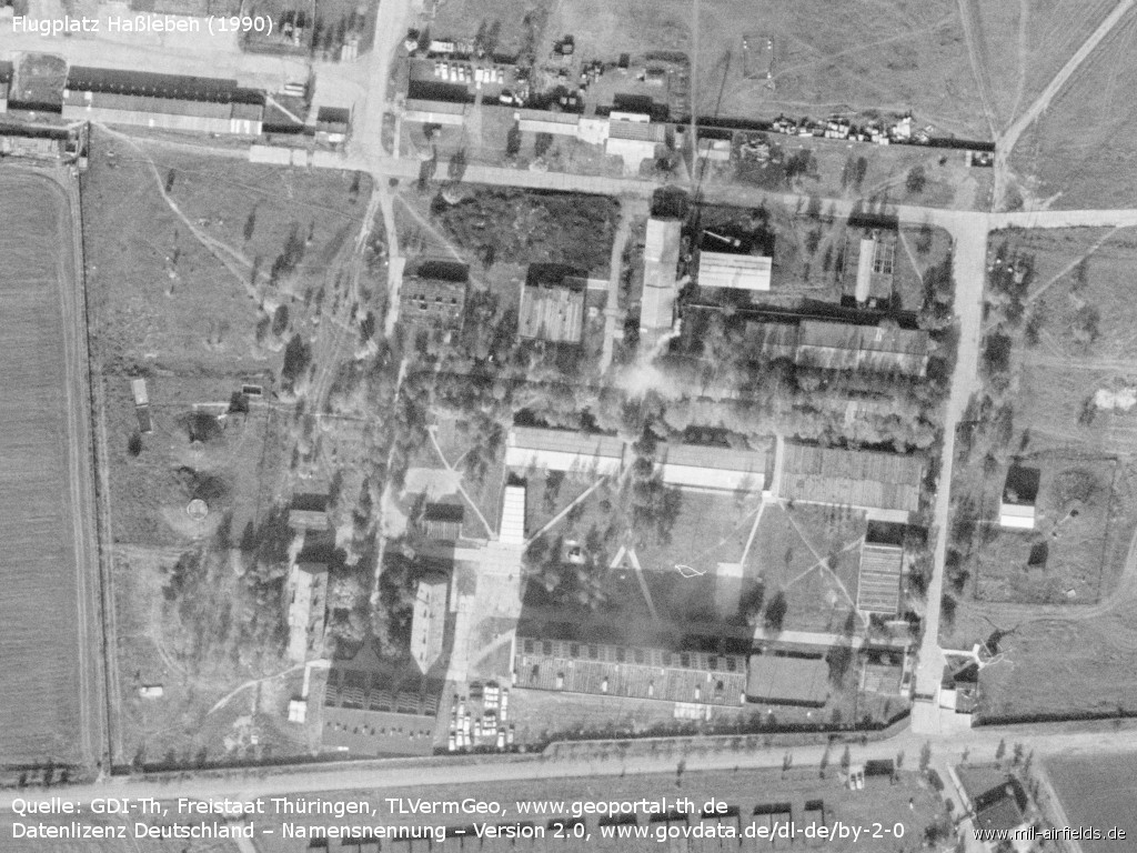
Barracks
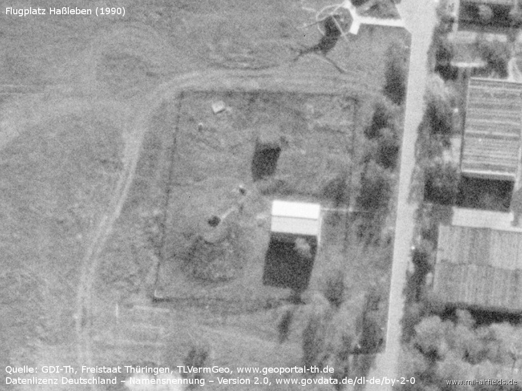
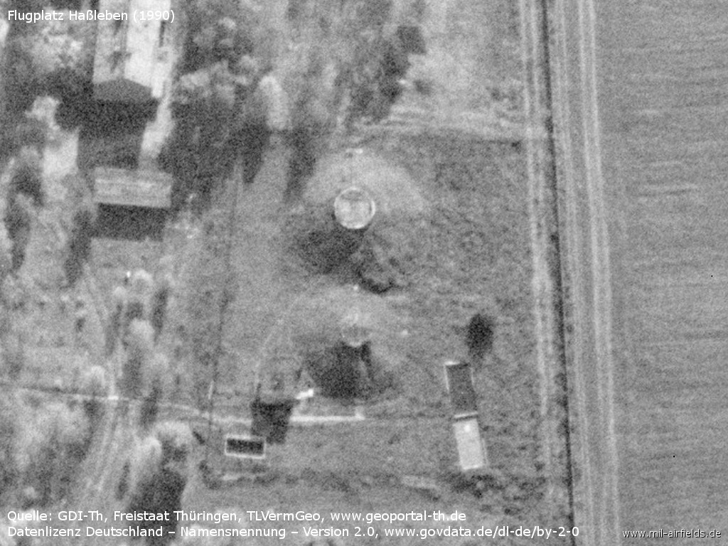
Tank at the eastern side
Tanks at the western side
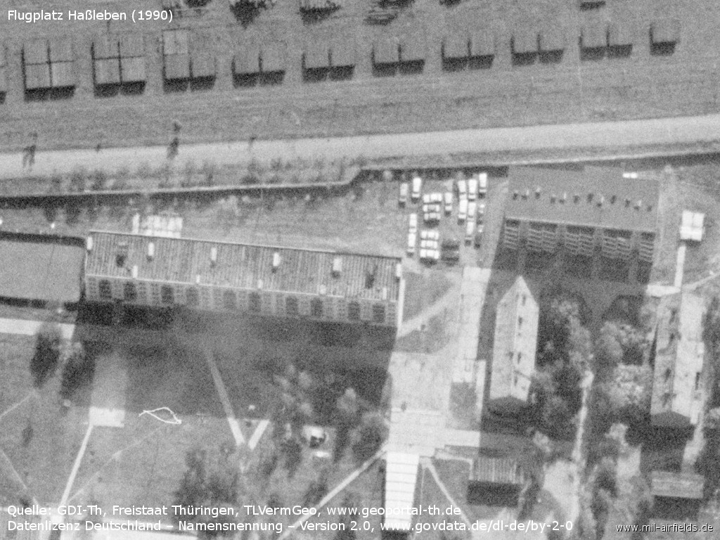
Plattenbau (industrialized apartment block) within the barracks
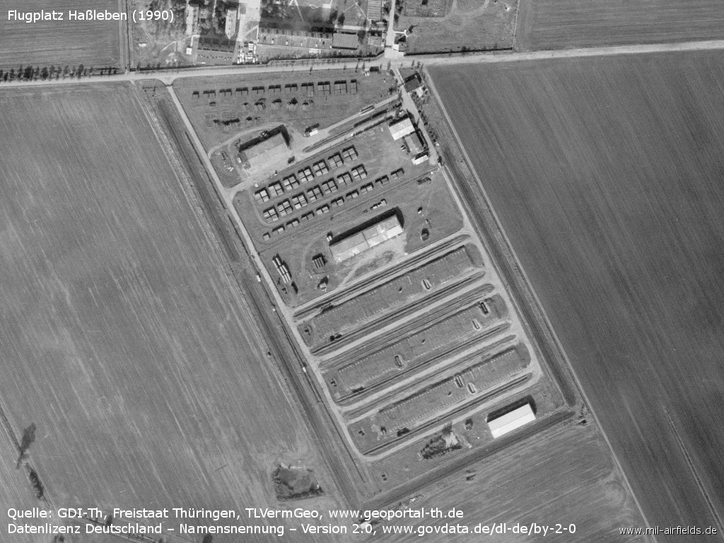
Storage area?
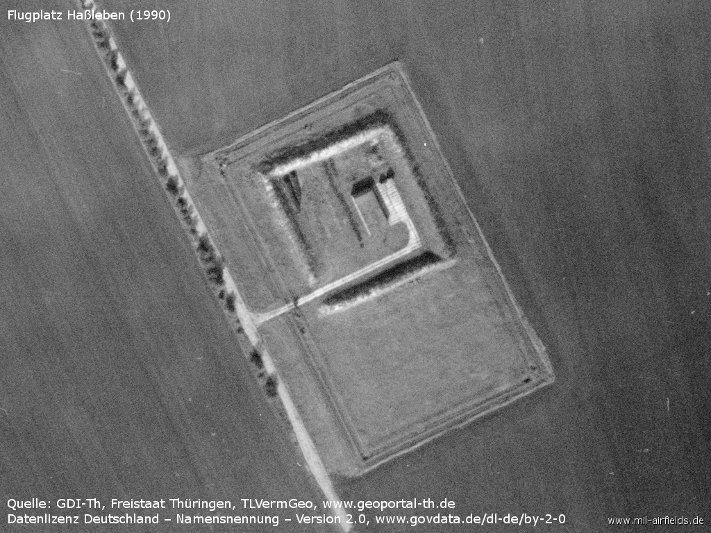
Object in the southeast
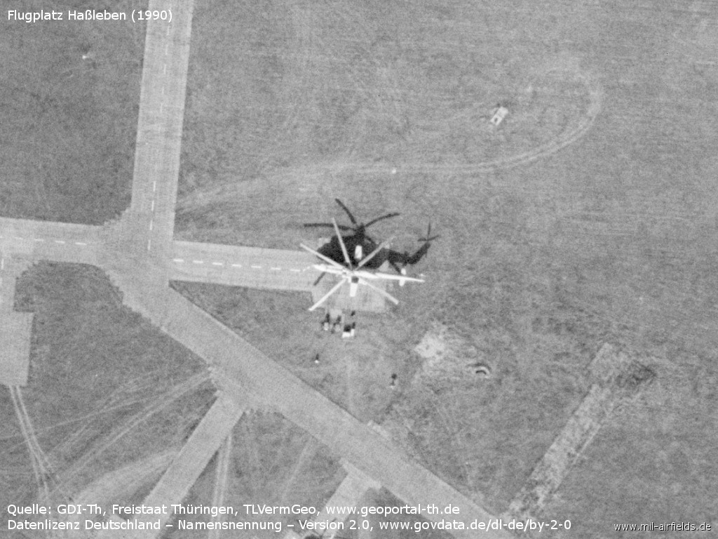
A single helicopter Mi-6
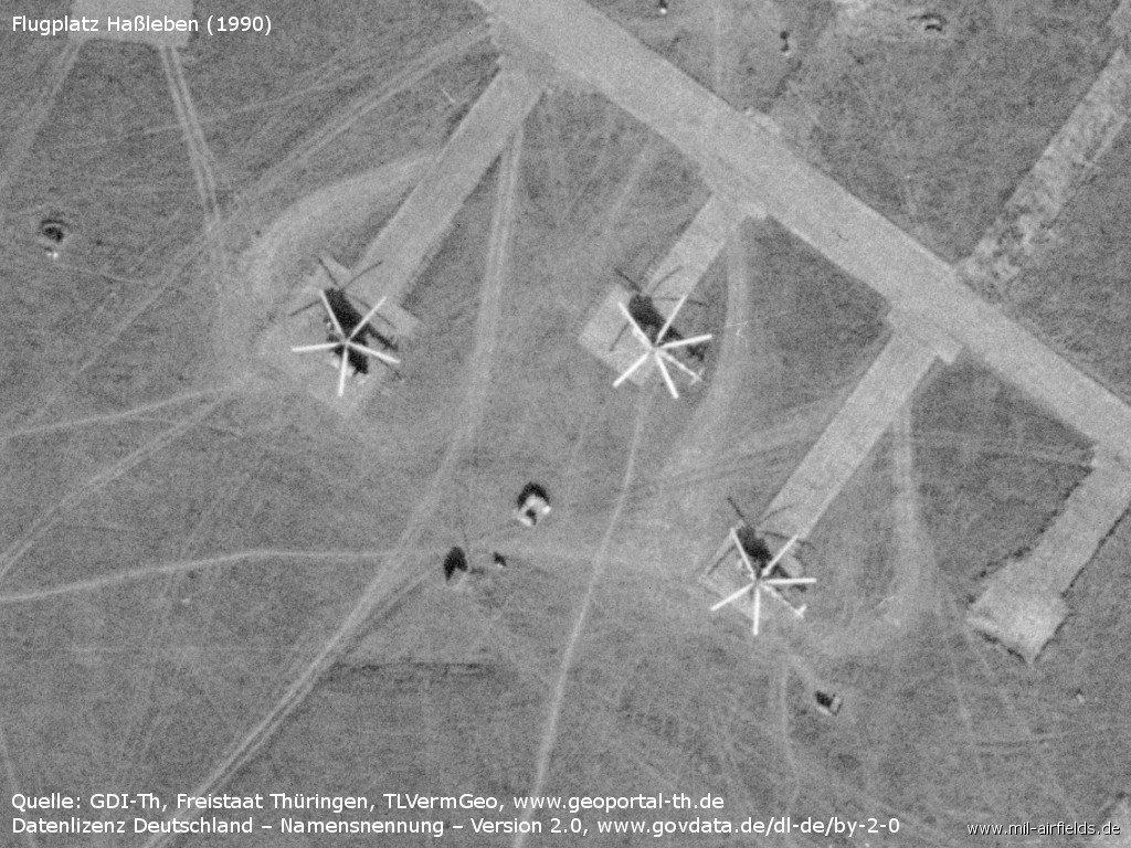
Mi-8?
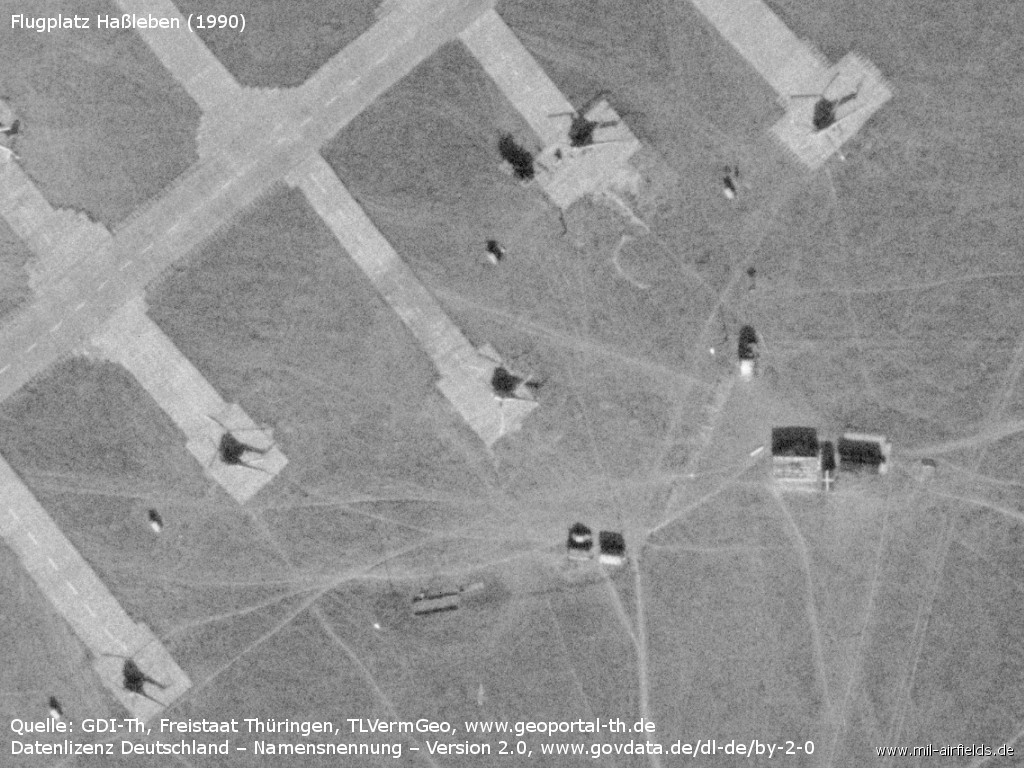
Five helicopters Mi-2
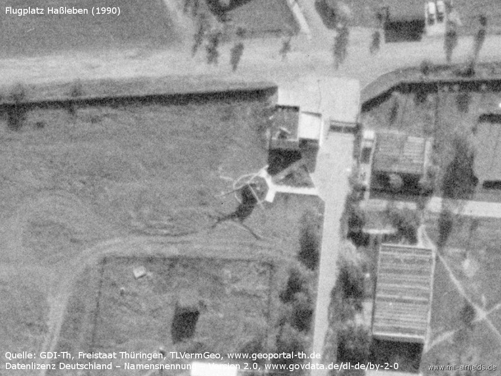
Is there a Mi-2 helicopter at the gate as gate guard? - The shadow cast suggests it
Today
Use
Closed.
Overview
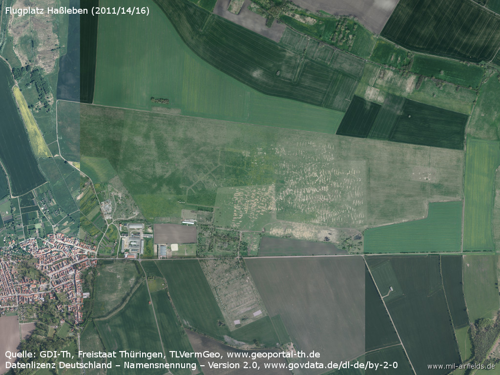
Aerial picture, composed of pictures from 2011, 2014 and 2016 - The airfield has been mostly recultivated. The basic structures are still recognizable (Source: GDI-Th, Freistaat Thüringen, TLVermGeo, www.geoportal-th.de, Data licence Germany – attribution – version 2.0, www.govdata.de/dl-de/by-2-0, /Geo Thür/)
Sources
- http://www.geoportal-th.de/ - Geoportal Thüringen
Bibliography
- : "USMLM Unit History 1973"
- : "USMLM Unit History 1975"
Airfields in the vicinity
- 176°/11km Erfurt: Erfurt North Airport (Roter Berg Airfield)
- 095°/12km Sprötau: Helipad 3140 (HSLP / HLP 3140)
- 195°/16km Erfurt: Bindersleben Airport (Fliegerhorst Erfurt-Bindersleben, Аэродром Эрфурт, Flughafen Erfurt-Weimar)
- 301°/21km Blankenburg: Helipad 3146 (HSLP / HLP 3146)
- 134°/22km Nohra: Airfield (Weimar-Nohra)
- 112°/24km Großobringen: Helipad 3012 (HSLP / HLP 3012)
- 217°/27km Seebergen: Helipad 3148 (HSLP / HLP 3148)
Categories
Military Airfields GermanyMilitary Airfields in former East GermanyAirfields of the Soviet Forces in GermanyRecommended
Image credits are shown on the respective target page, click on the preview to open it.
