For historical information only, do not use for navigation or aviation purposes!
| Coordinates | N522241 E0133111 (WGS84) Google Maps |
| Elevation | 154 ft |
| Former East Germany (GDR) | District of Potsdam |
| Federal state | Brandenburg |
| Location indicator | EDXS (196x), ETBS (197x-199x), EDDB (199x-) |
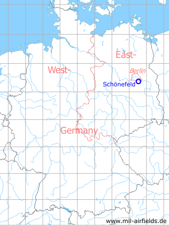
Germany during the Cold War Map
The history of the Cold War airfields: Schönefeld
Contents
Page 1: Schönefeld Airport
Page 2: Berlin Brandenburg Airport (BER)
Page 3: The Henschelbahn railway Berlin Grünau - Bohnsdorf - Diepensee ← you are here
Page 5: Berlin Schönefeld Airport
The Gutsbahn / Henschelbahn railway Berlin-Grünau - Bohnsdorf - Diepensee
The Gutsbahn railroad line, later Henschelbahn
General
To supply the Diepensee Manor, a horse-drawn railway was built, starting at the Berlin-Gruenau train station, the so-called Gutsbahn. Later the newly built Henschel factory aerodrome in Schoenefeld was connected on the eastern side via this route and thus it received the name Henschelbahn. After the Second World War, the line was active for a few years until it was replaced by the so-called Kerosene Railway south of Bohnsdorf.
Railways at Schönefeld in the 1940s and 1950s
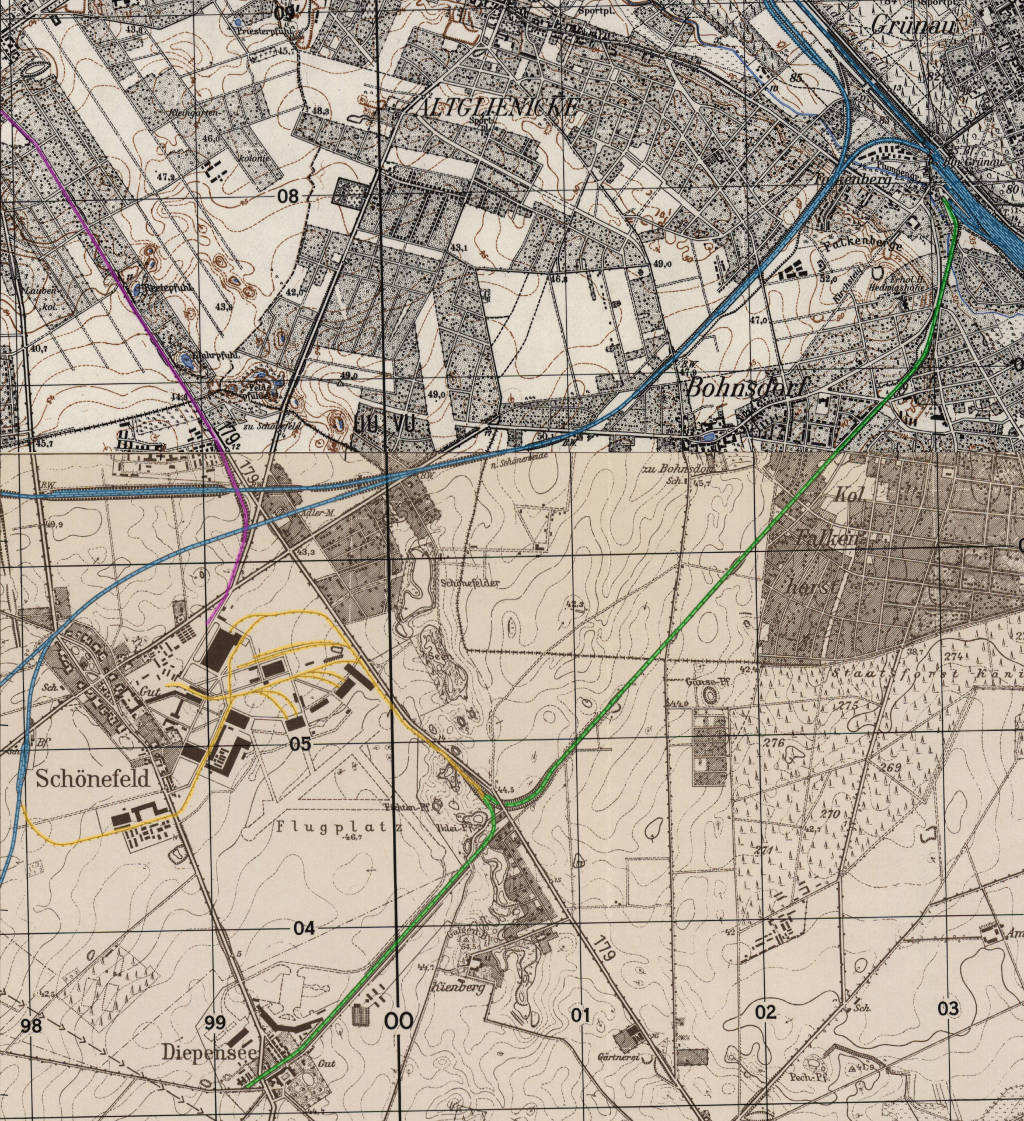
The railway tracks at Schoenefeld Airport in the 1940s/1950s - blue: railway lines, green: Henschelbahn railway, yellow: airfield tracks, purple: tram.
Source: AMS M841 GSGS 4414, Courtesy Harold B. Lee Library, Brigham Young University, https://contentdm.lib.byu.edu/digital/collection/GermanyMaps/id/801/rec/1
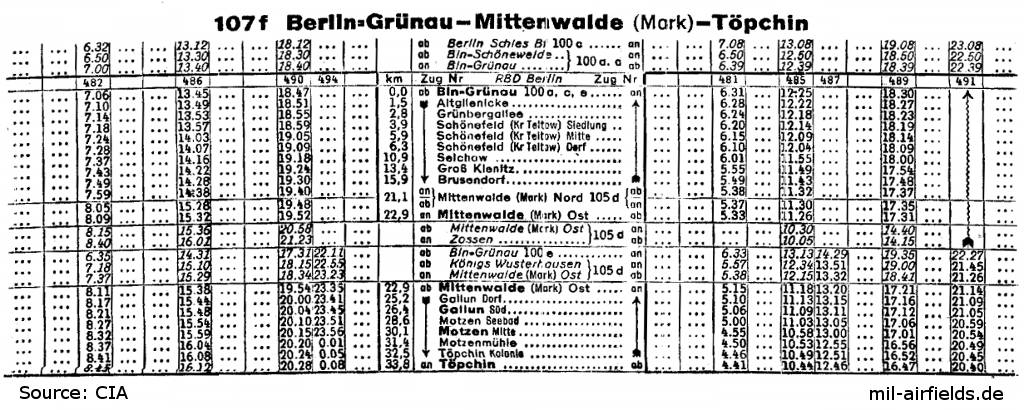
Grünau was not only the starting point of the Henschelbahn: excerpt from the railway timetable valid from October 1950 - From Berlin-Grünau railroad station, the trains use the connecting curve to the Güteraußenring (GAR, Berlin Outer Freight Ring, later S-Bahn to Schönefeld), The connecting curve no longer exists today. Next stations are Altglienicke, Grünbergallee and Schönefeld. From here, the southern part of the Neukölln-Mittenwalder Eisenbahn (NME) is used to reach Mittenwalde via Selchow, Groß Kienitz and Brusendorf. From Mittenwalde it goes via Gallun and Motzen to the end point Töpchin.
Source: CIA / Deutsche Reichsbahn
Aerial pictures from 1953
The aerial photos show the Henschelbahn railroad from Berlin-Grünau station to the city border near Bohnsdorf. The track is marked by arrows.
(Source: Geoportal Berlin, Luftbilder 1953, Maßstab 1:22 000)
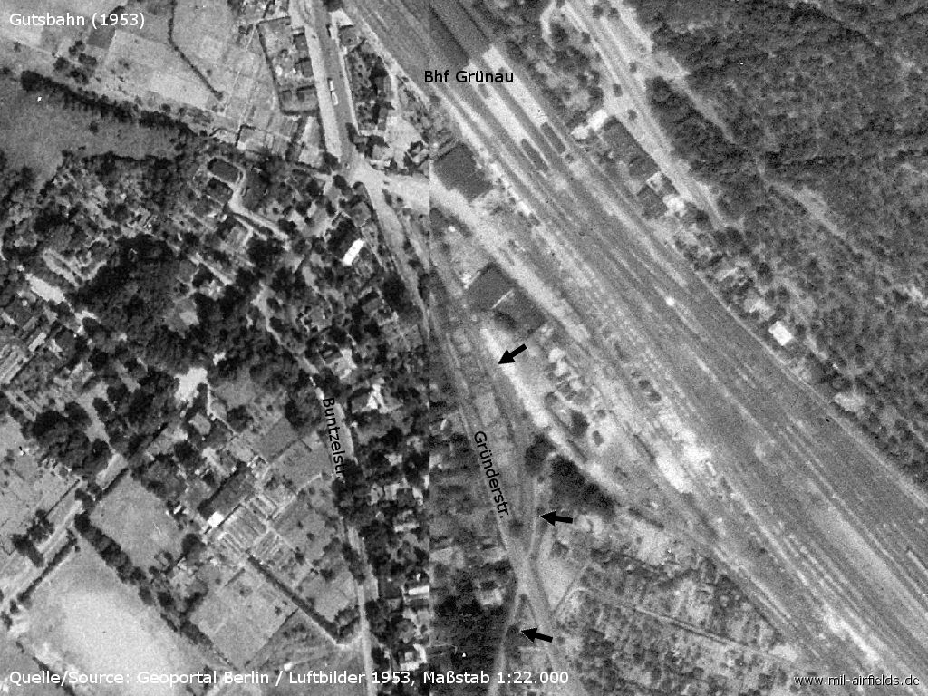
Berlin-Grünau train station / Gründerstraße
Source: Geoportal Berlin / Luftbilder 1953, Maßstab 1:22 000, Datenlizenz Deutschland - Namensnennung - Version 2.0, https://www.stadtentwicklung.berlin.de/geoinformation/fis-broker/
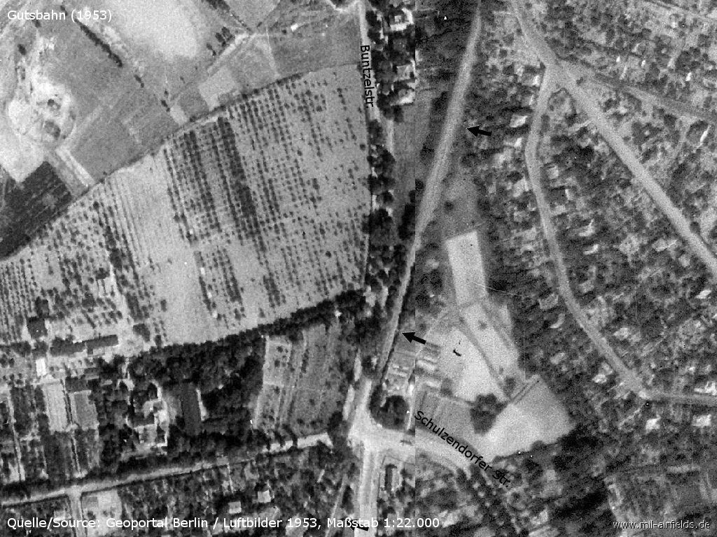
Railroad crossing at the crossroads Buntzelstraße / Grottewitzstr./Waltersdorfer Str./Schulzendorfer Straße
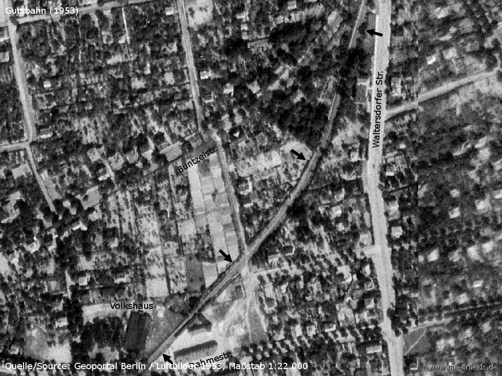
Bohnsdorf: Binswanger Steig - Volkshaus - Dahmestraße
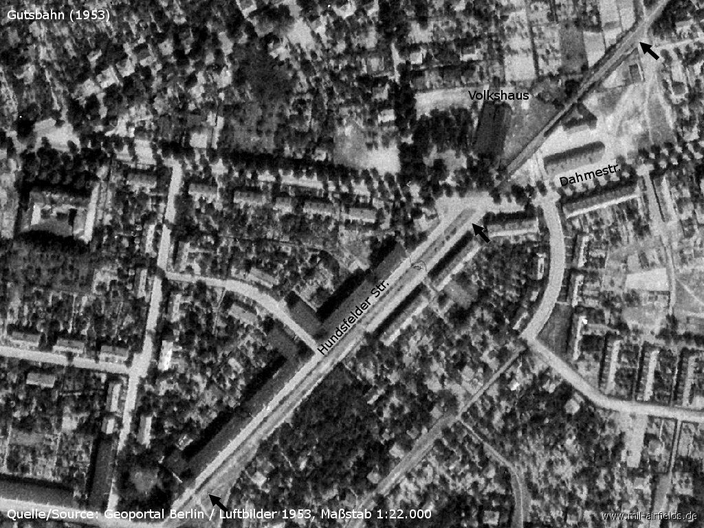
Dahmestraße - Hundsfelder Str - Siebweg
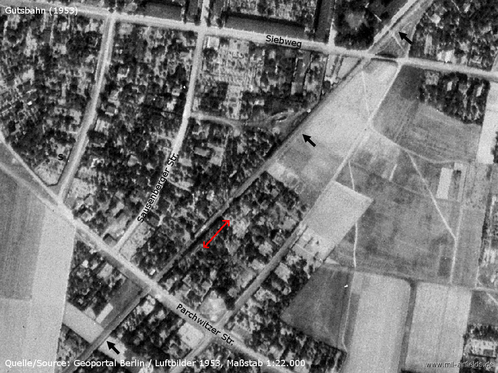
Siebweg - Parchwitzer Str. - Is there a train visible at the red arrow?
Pictures 2004
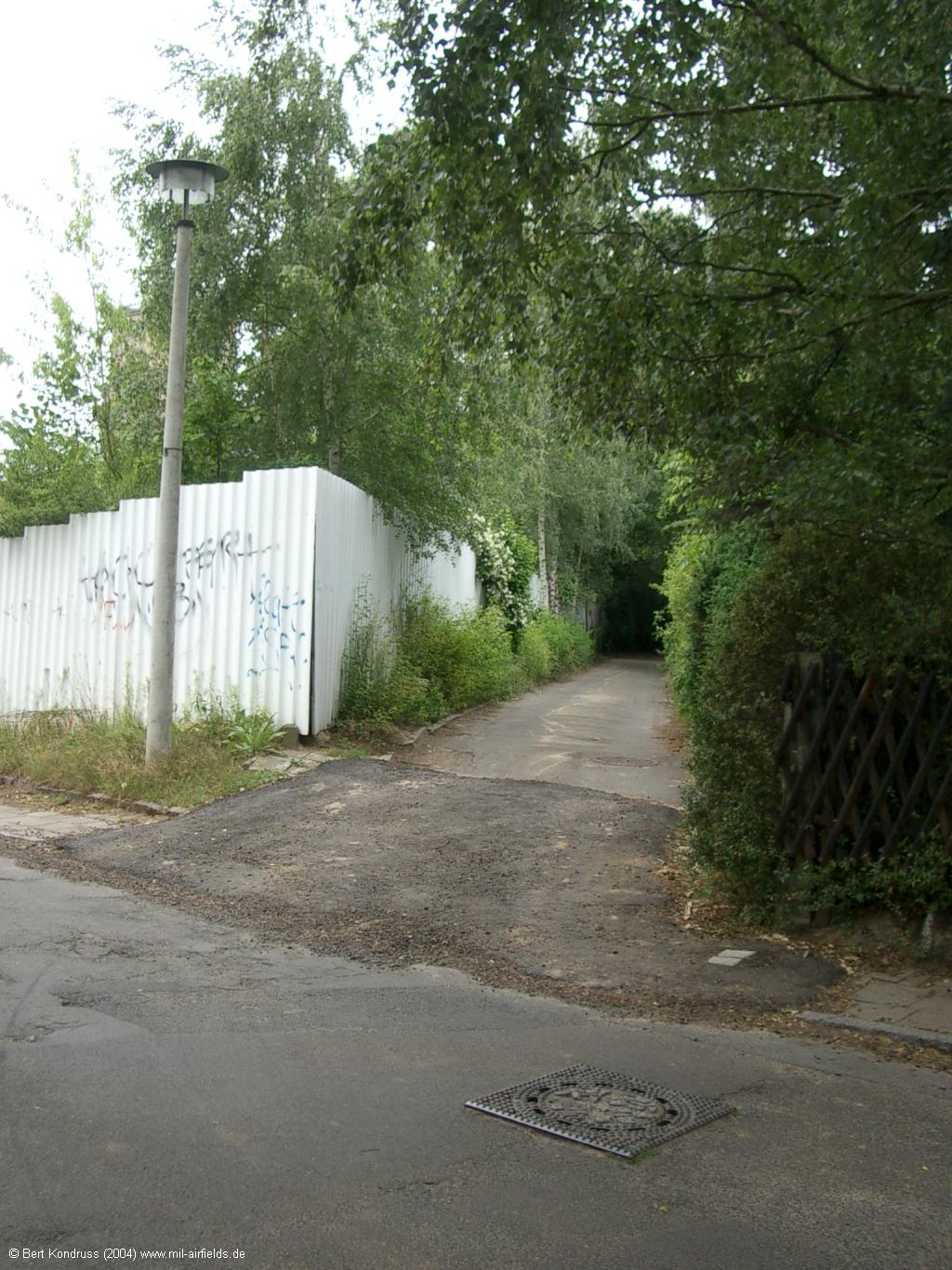
The following pictures show the route of the former Henschelbahn in Berlin-Bohnsdorf in 2004.
Binswanger Steig
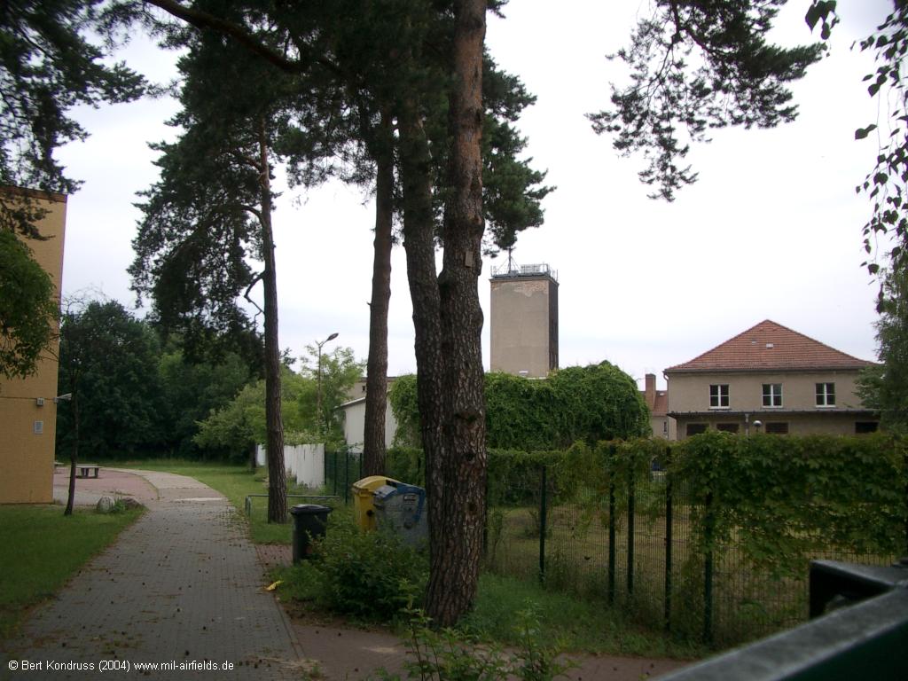
The route passed the later "Scientific Institute of Civil Defense"
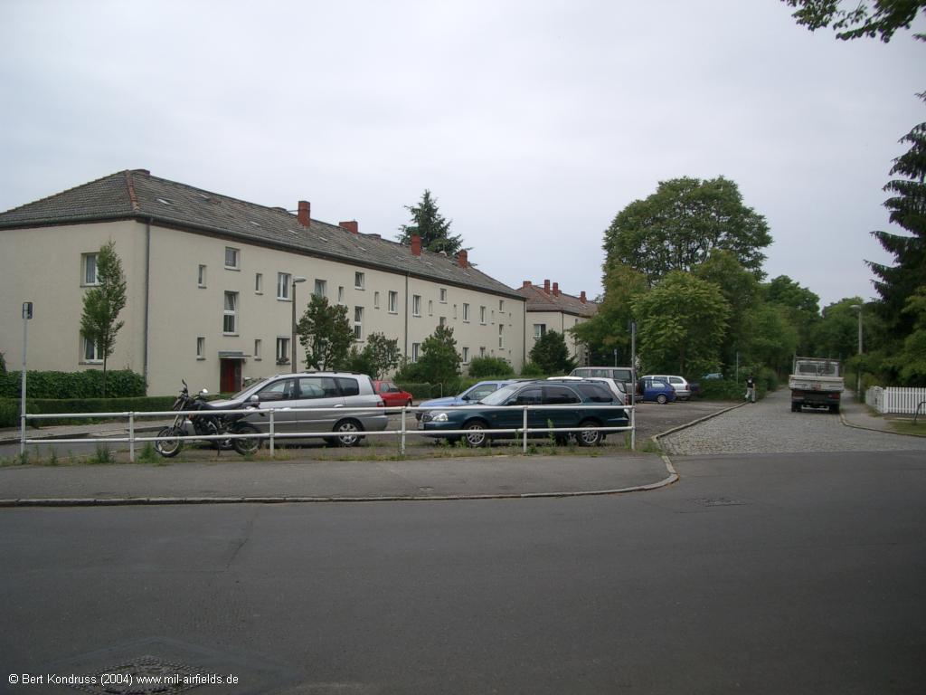
Dahmestraße and Hundsfelder Straße. The middle promenade of Hundsfelder Str. marks the former route.
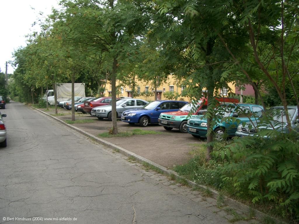
Hundsfelder Straße
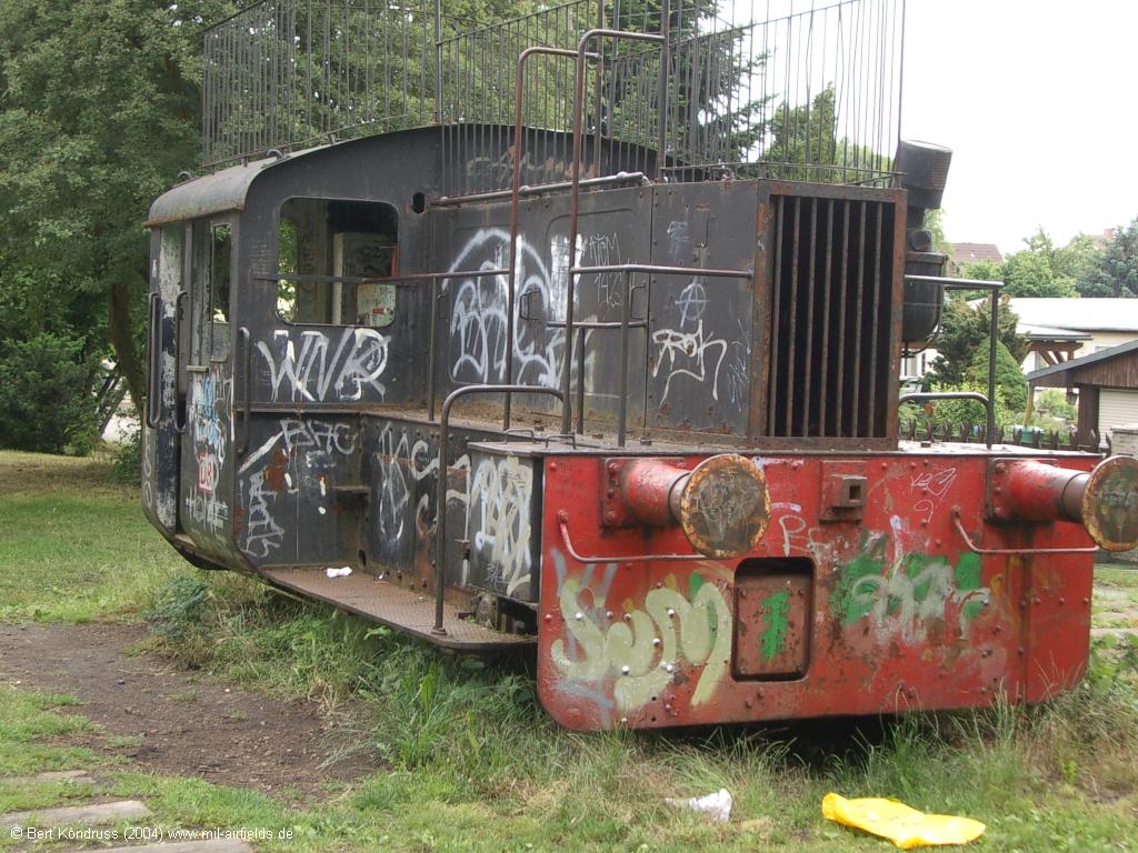
Diesel locomotive on a playground on the former line at Hundsfelder Str. and Siebweg
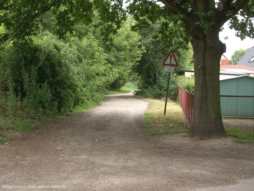
Continuation beyond Siebweg
Contents
Page 1: Schönefeld Airport
Page 2: Berlin Brandenburg Airport (BER)
Page 3: The Henschelbahn railway Berlin Grünau - Bohnsdorf - Diepensee ← you are here
Page 5: Berlin Schönefeld Airport
 Follow mil-airfields on Facebook