For historical information only, do not use for navigation or aviation purposes!
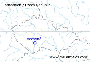
| Coordinates | N491625 E0143006 (WGS84) Google Maps |
| Elevation | 432 m |
| Location indicator | LKBC |
The history of the Cold War airfields: Bechyně
During World War II
Use
Bechin airfield.
During the Cold War
In the 1970s
Situation
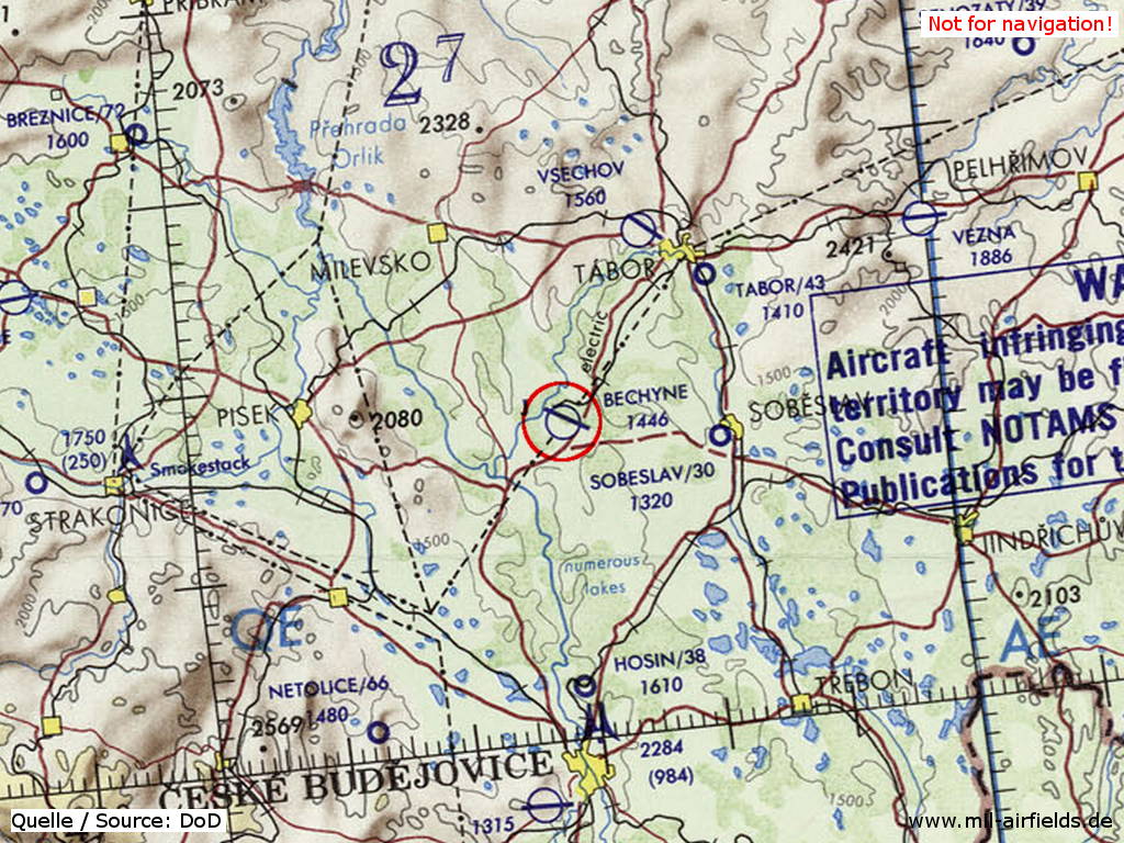
Bechyně Air Base on a map of the US Department of Defense from 1972
Source: ONC E-2 (1972), Perry-Castañeda Library Map Collection, University of Texas at Austin
In the 1980s and early 1990s
Runways
- 12/30: 2400 m x 60 m Main runway
- 10/28 Emergency runway, taxiway to the remote dispersal area west of the field
Radio beacons
- NDB: 488 "AL", east of the field
- FFF 30: 625.5 "AM"
- NFF 30: 303 "A"
- FFF 12: 625.5 "MA"
- NFF 12: 303 "M"
In comparison to other Warsaw Pact airfields it was unusual that there was an additional radio beacon (with ident AL).
Radio communication
The radio call sign was ALBUM.
According to western signals intelligence (SIGINT), the airfield was also called "Navigacni Punkt 800" by the Czechoslovak Air Force.
Units
9 SLP with MiG-21MF/UM, L-29 (1990).
Airfields in the vicinity
Categories
Air Bases CzechiaRecommended

Image credits are shown on the respective target page, click on the preview to open it.
 Follow mil-airfields on Facebook