For historical information only, do not use for navigation or aviation purposes!
| Coordinates | N491033 E0095839 (WGS84) Google Maps |
| Elevation | 1440 ft |
| Federal state | Baden-Württemberg |
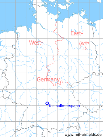
Germany during the Cold War Map
The history of the Cold War airfields: Kleinallmerspann
Location of airfield
The village Kleinallmerspann is written with double L. But in US maps, the villlage was written only with one L.
7.5 km northwest of Crailsheim, Autobahn A6, between Reußenberg parking and intersection Kirchberg. The village of Kleinallmerspann is located ca. 500 m southwest of the intersection Kirchheim.
During the Cold War
Use
Highway strip on autobahn.
Runways
- 10/28: 2900m
Today
Use
Closed.
Images
Pictures 2005
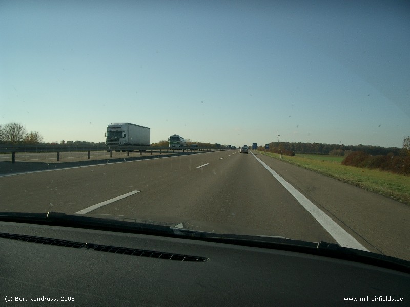
I took the following pictures in 2005. There was construction work in the area of the highway strip.
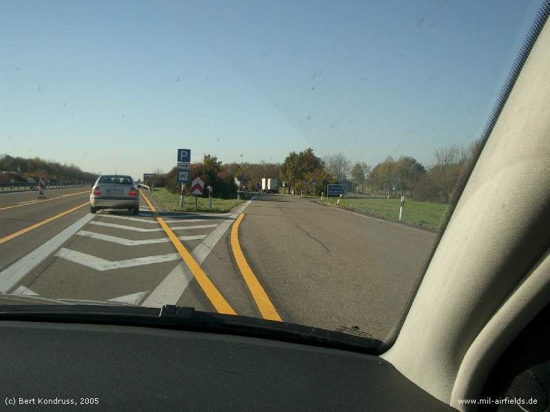
North eastern parking First entry (2005)
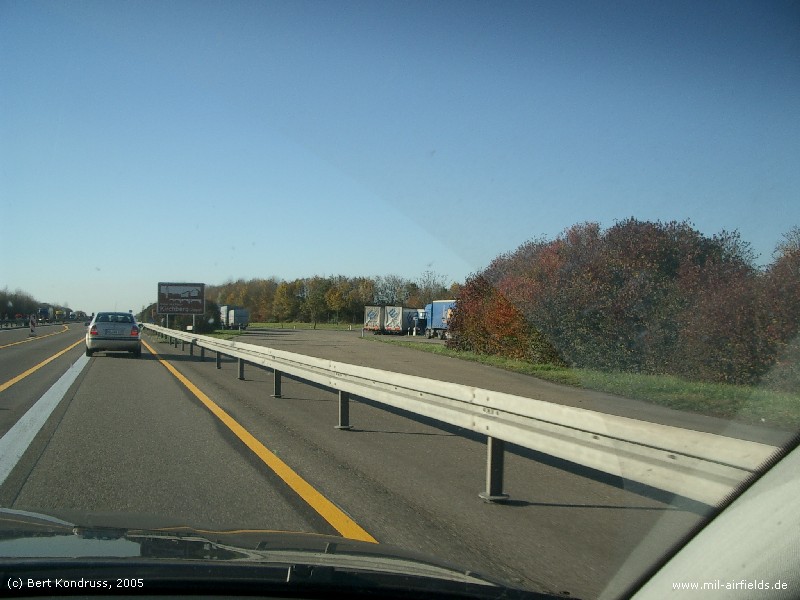
North eastern parking Second entry lane (closed)
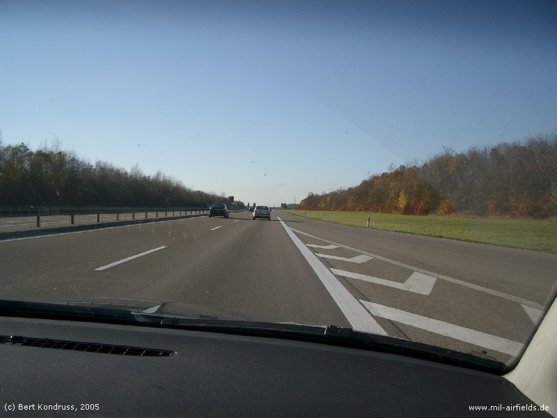
North eastern parking Exit to the highway strip (looking west)
Highway strip looking west
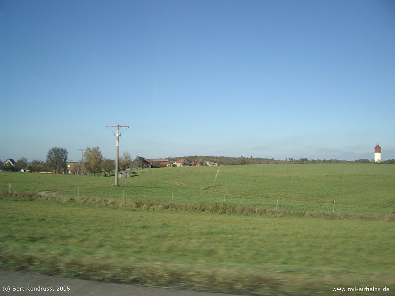
Water tower and red-white painted mast near Herboldshausen
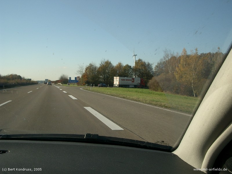
Kirchberg intersection at the western end
Pictures 2010
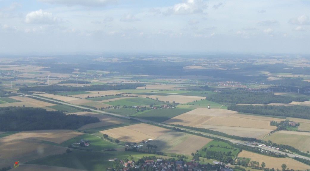
These aerial pictures were taken by Kar@ya in August 2010. The pictures were corrected/adjusted. Many thanks, Kar@ya!
The highway strip looking into northwestern direction
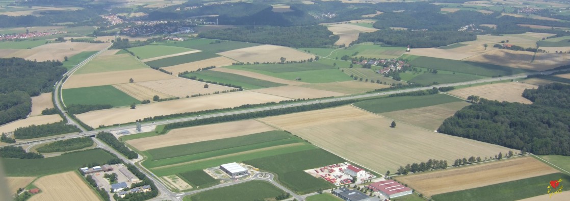
Western end with Kirchberg intersection and view to Kirchberg/Jagst (upper/northern edge of the picture)
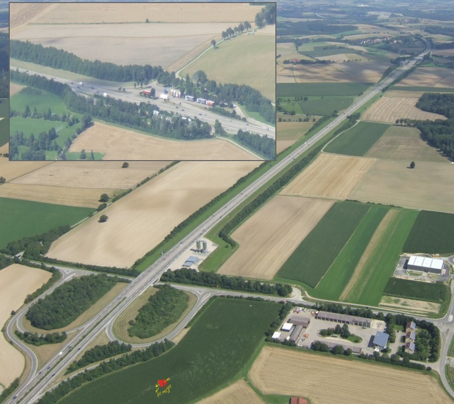
The whole installation as seen from Kirchberg intersection.The inlet shows the Reußenberg parking at the eastern end.
Airfields in the vicinity
Categories
Highway Strips WorldwideMilitary Airfields GermanyMilitary Airfields in former West GermanyHighway Strips in former West GermanyAirfields in Baden-WürttembergRecommended
Image credits are shown on the respective target page, click on the preview to open it.
 Follow mil-airfields on Facebook