For historical information only, do not use for navigation or aviation purposes!
| Coordinates | N521029 E0074615 (WGS84) Google Maps |
| Elevation | 175 ft |
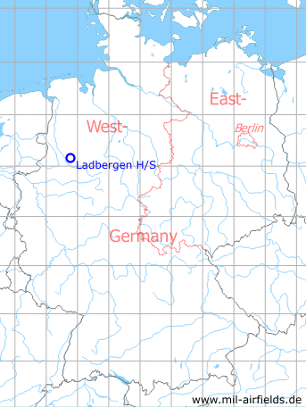
Germany during the Cold War Map
The history of the Cold War airfields: Ladbergen
Location of airfield
Autobahn A1, 4.9 km northeast Ladbergen, 6 km west Lengerich
During the Cold War
Use
Highway Strip / emergency landing strip on the autobahn (motorway) with concreted central strip.
In September 1968, the highway strip was used as part of an exercise before the motorway was officially opened two months later on 14 November 1968.
Overview
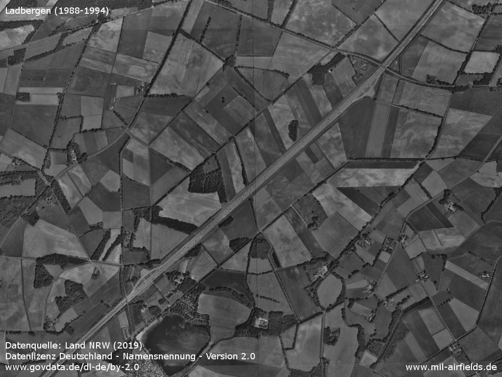
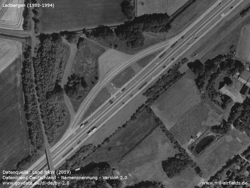
Overview (late 1980s / early 1990s)
Source: Land NRW (2019),
Datenlizenz Deutschland - Namensnennung - Version 2.0
www.govdata.de/dl-de/by-2.0
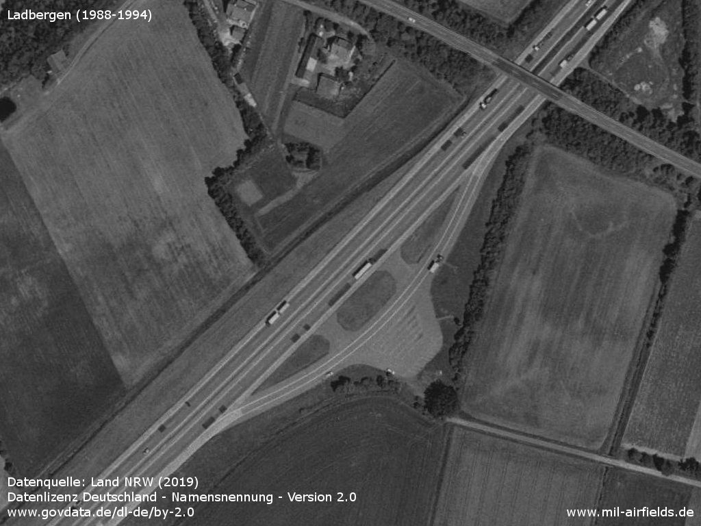
Today's parking area Buddenkuhle in the southwest - Also here is a bridge, behind which the normal median strip begins again.
Source: Land NRW (2019),
Datenlizenz Deutschland - Namensnennung - Version 2.0
www.govdata.de/dl-de/by-2.0
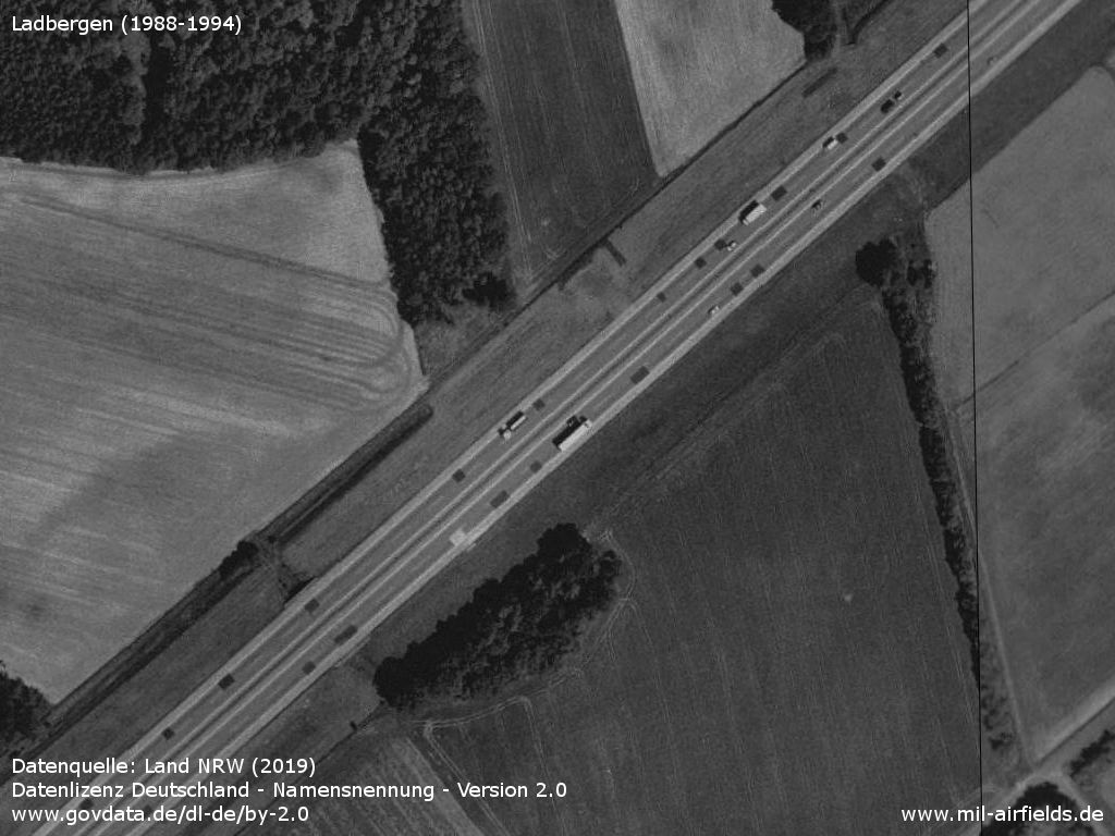
Cut-out somewhere in the middle - The central strip is concreted through. To the right and left of the motorway an area is kept free.
Source: Land NRW (2019),
Datenlizenz Deutschland - Namensnennung - Version 2.0
www.govdata.de/dl-de/by-2.0
Today's parking area Settel in the northeast - Behind the bridge is the normal green strip again.
Source: Land NRW (2019),
Datenlizenz Deutschland - Namensnennung - Version 2.0
www.govdata.de/dl-de/by-2.0
Runways
- 05/23: 1900 m
Today
Use
Closed.
Links
- https://www.wn.de/Muensterland/2012/08/Lengericher... - Als die A 1 zur Landebahn wurde
Sources
- https://www.geoportal.nrw/ - GEOportal.NRW
Airfields in the vicinity
- 219°/16km Greven: Highway Strip (Autobahn-Notlandeplatz NLP)
- 319°/24km Hopsten: Air Base (Rheine)
- 296°/29km Rheine-Bentlage: Airfield