For historical information only, do not use for navigation or aviation purposes!
| Coordinates | N505041 E0094226 (WGS84) Google Maps |
| Elevation | 932 ft |
| Location indicator | EDOZ |
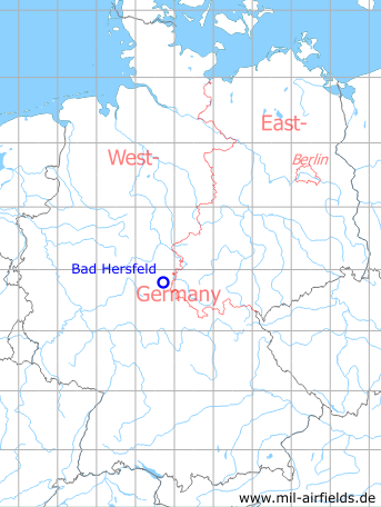
Germany during the Cold War Map
The history of the Cold War airfields: Bad Hersfeld
Location
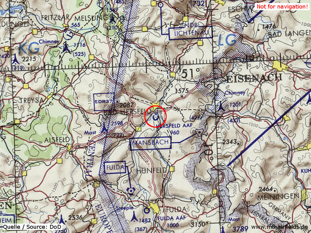
Bad Hersfeld Army Airfield (AAF) on a map of the US Department of Defense from 1972 - (ONC E-2 (1972), Perry-Castañeda Library Map Collection, University of Texas at Austin /PCL MC/)
Usage during the Cold War
US Army airfield and later heliport.
Runways
Data for the year 1990:
- 01/19: 671 m x 18 m Asphalt
Telephone
DSN 321 -5xxx (1990).
Links
Airfields in the vicinity
- 188°/34km Fulda: Army Airfield AAF (Sickels Airfield)
- 106°/39km Breitungen: Helipad 3176 (HSLP / HLP 3176)
- 316°/42km Fritzlar: Airfield