Antwerp Deurne Airport
Historical approach and aerodrome charts
For historical information only, do not use for navigation or aviation purposes!
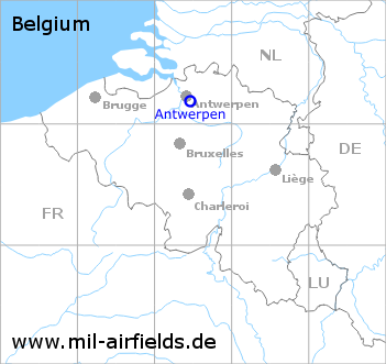
| Coordinates | N511123 E0042750 (WGS84) Google Maps |
In the 1950s

Aerodrome (October 1950) - There are three runways - 117/297: length 1660 m (5445 feet), 147/327: length 1350 m (4430 feet) concrete and Perforated Steel Plates (PSP), 066/246: length 850 m (2790 feet) unpaved. In the extension of runway 117/297 to the southeast there is the non-directional radio beacon "OWN" at Fort 3 Borsbeek. (Source: US DoD)
In the 1970s

Antwerpen Deurne Airport on a map of the US Department of Defense from 1972 (Source: ONC E-2 (1972), Perry-Castañeda Library Map Collection, University of Texas at Austin)
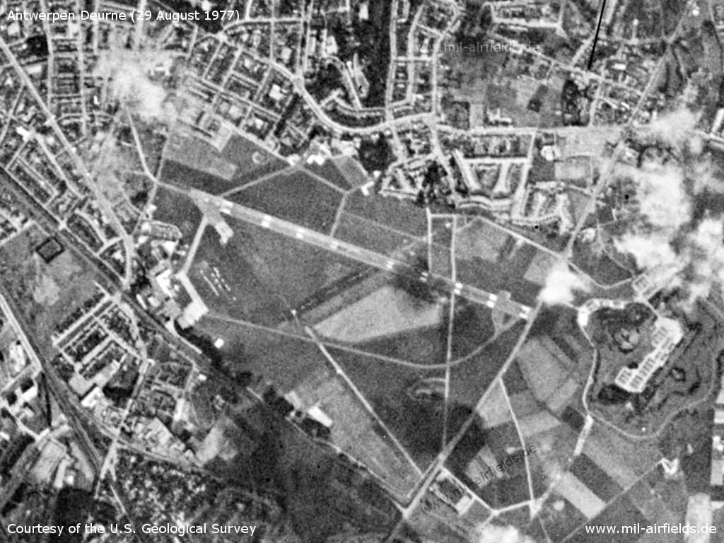
Satellite image from 29 August 1977 - The image is from a US reconnaissance satellite and was previously subject to high levels of secrecy. (Source: U.S. Geological Survey)
Index to the objects shown on the maps
Aerodromes:
Radio beacons:
- Beauvechain TACAN
- Bruno NDB, VOR
- Brussels VORDME
- Eindhoven TACAN
- Gilze Rijen TACAN
- Nicky NDB, VOR
- Woensdrecht NDB, TACAN
Source for all maps, if not marked otherwise: US Department of Defense (US DoD)
Recommended


Image credits are shown on the respective target page, click on the preview to open it.