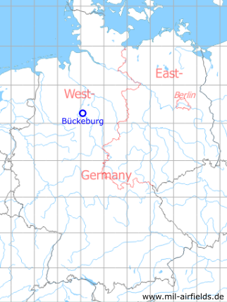
Bückeburg Airfield
RAF Bückeburg
Historical approach charts - Federal Republic of Germany
For historical information only, do not use for navigation or aviation purposes!
| Coordinates | N521642 E0090456 (WGS84) Google Maps |
| Elevation | 230 ft |
| Location indicator | DEBU (195x), EDCB (196x-1995), ETHB (1995-) |
In the 1940s
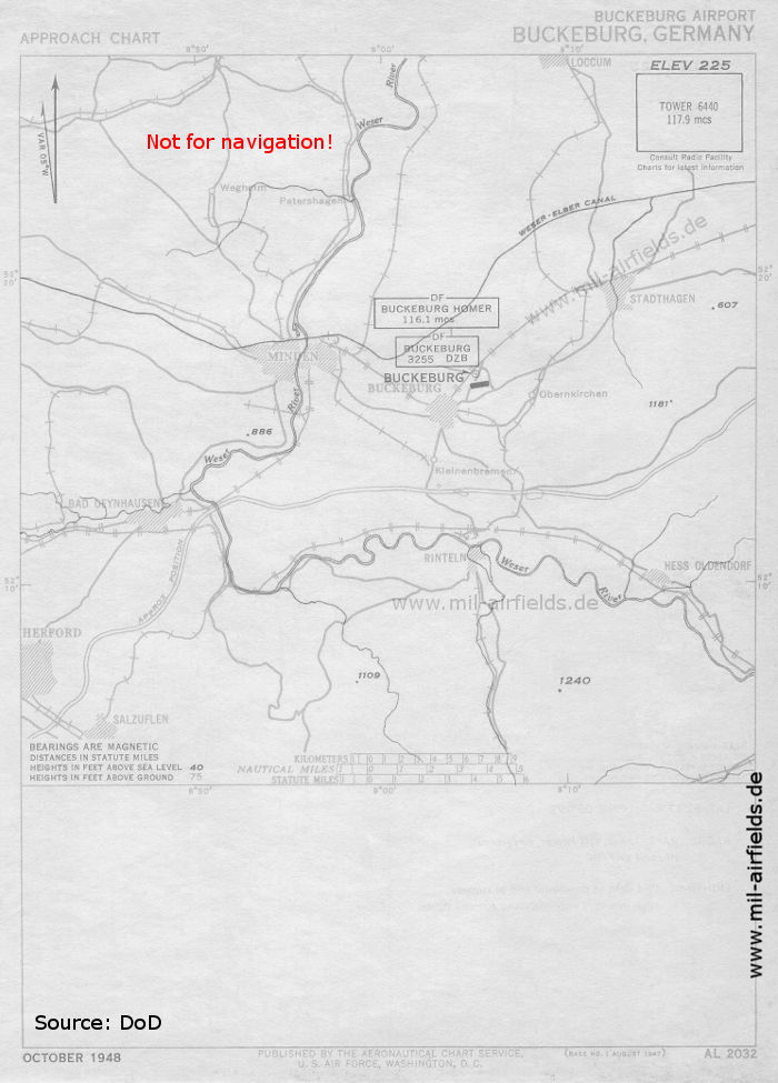
Approach chart (October 1948) (Source: DoD)
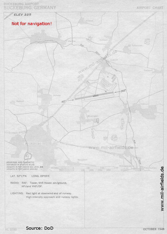
Aerodrome chart RAF Bückeburg (October 1948) (Source: DoD)
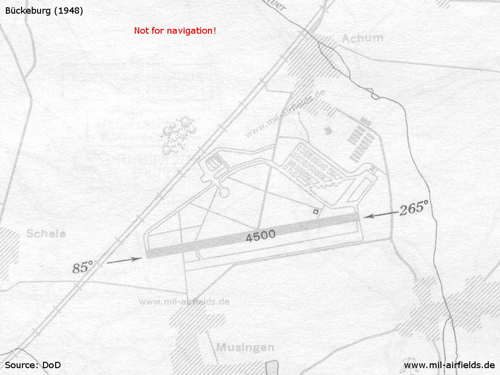
Enlargement
Index to the objects shown on the maps
Air traffic control / Communications:
- Bückeburg Tower, Bückeburg DF
Places
- Achum
- Bad Oeynhausen, Bückeburg
- Herford
- Hessisch Oldendorf
- Loccum
- Minden
- Obernkirchen
- Scheie, Stadthagen
- Weser
Source for all maps, if not marked otherwise: US Department of Defense (US DoD)
Navigation
Approach and airfield charts - Federal Republic of Germany