Nordholz Naval Air Station
Historical approach charts - Federal Republic of Germany
For historical information only, do not use for navigation or aviation purposes!
| Coordinates | N534603 E0083927 (WGS84) Google Maps |
| Elevation | 74 ft |
| Federal state | Niedersachsen (Lower Saxony) |
| Location indicator | EDCN (196x-1995), ETMN (1995-) |
Source for all maps, if not marked otherwise: US Department of Defense (DoD)
In the 1960s
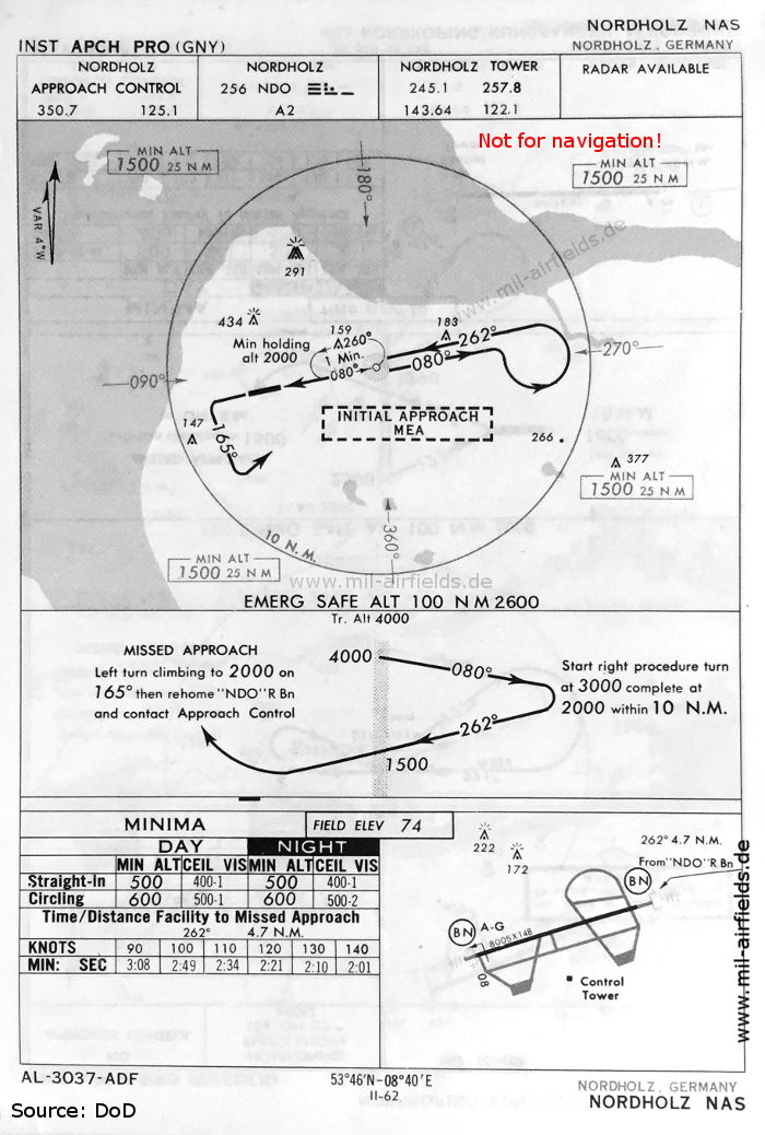
NDB approach runway 26 (May 1966) (Source: DoD)
Navigation
Approach and airfield charts - Federal Republic of Germany