Schleswig-Jagel Naval Air Station (DEJG, EDCS, ETNS)
Jagel, RAF Schleswigland
Historical approach charts
For historical information only, do not use for navigation or aviation purposes!
| Coordinates | N542735 E0093101 (WGS84) Google Maps |
| Elevation | 73 ft |
| Federal state | Schleswig-Holstein |
| Location indicator | DEJG (195x), EDCS (196x-1995), ETNS (1995-) |
| Operator | RAF, GNY, GAF |
Source for all maps, if not marked otherwise: US Department of Defense (DoD)
In the 1960s
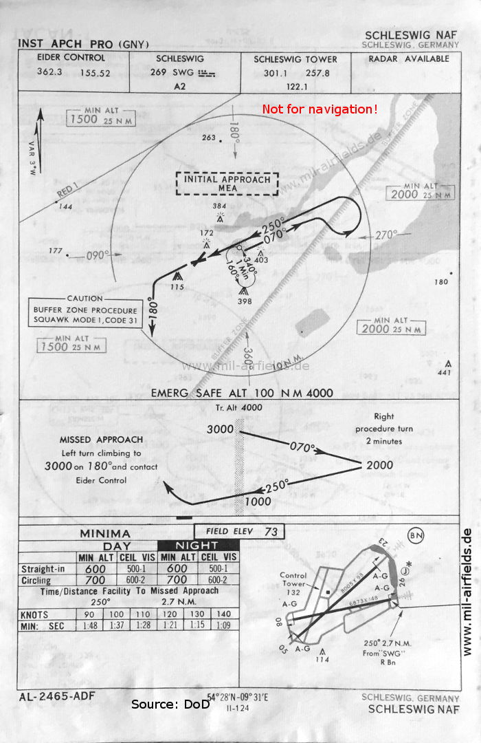
NDB approach runway 26 (May 1966) - The approach control is "Eider Control" at Husum. (Source: DoD)
Navigation
Approach and airfield charts - Federal Republic of Germany