Le Havre Octeville Airport
Aéroport du Havre-Octeville
Historical approach and aerodrome charts
For historical information only, do not use for navigation or aviation purposes!
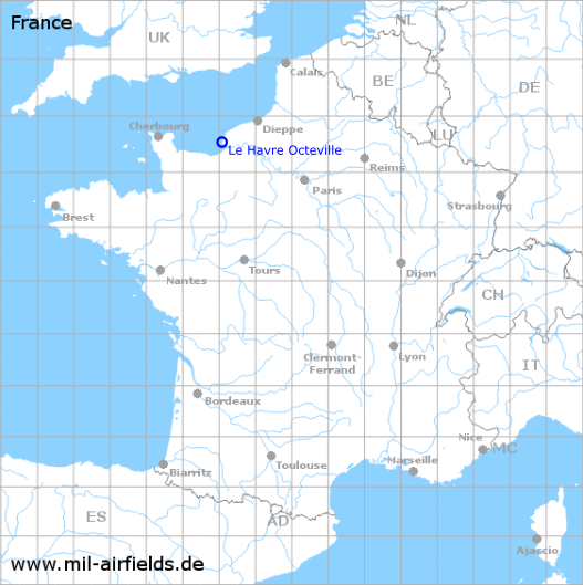
| Coordinates | N493201 E0000516 (WGS84) Google Maps |
| Location indicator | LFOH |
In the 1940s
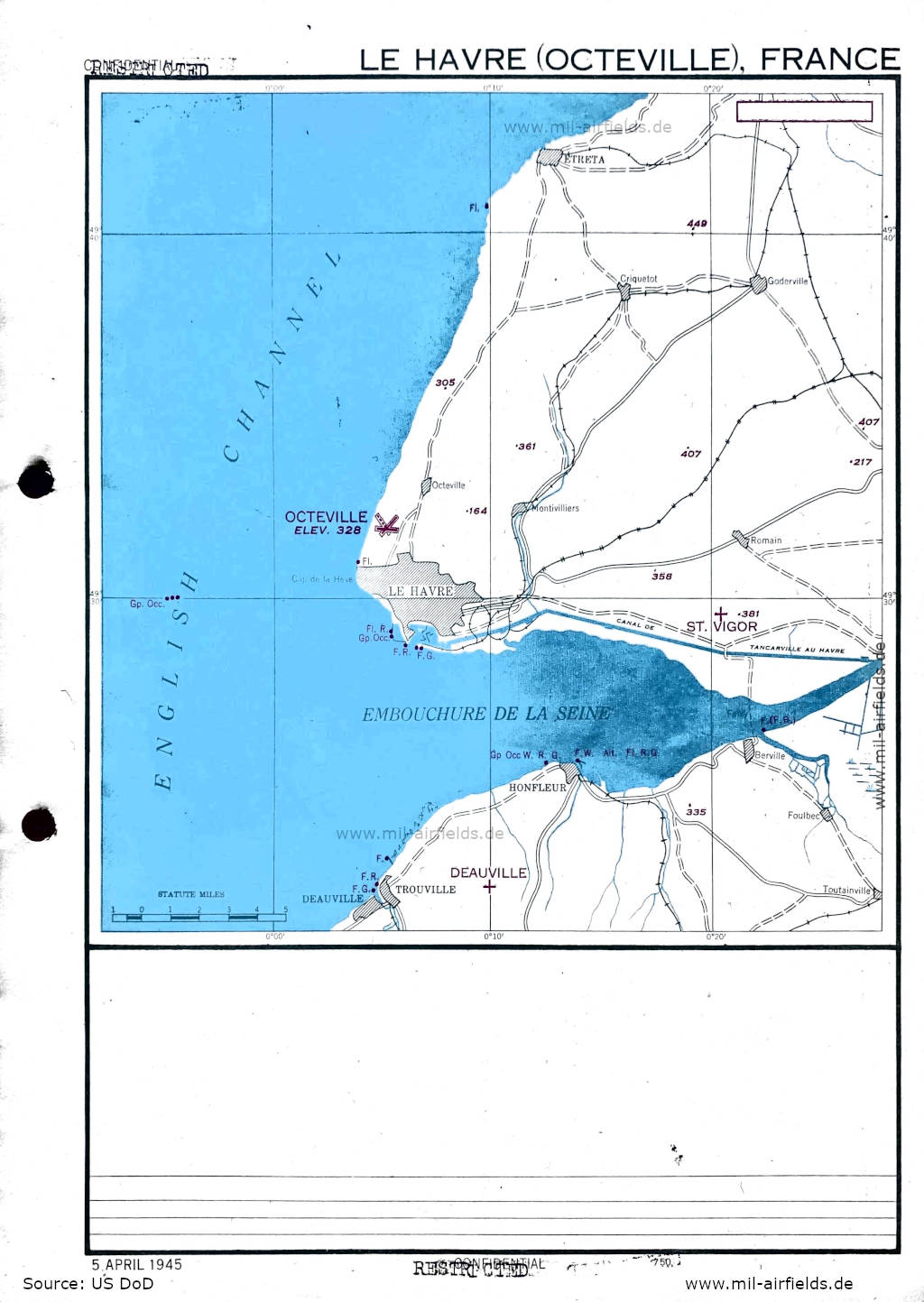
Approach (April 1945) (Source: US DoD)
Aerodrome (June 1945) (Source: US DoD)
Index to the objects shown on the maps
Aerodromes / Aérodromes:
- Deauville, Le Havre Octeville, St. Vigor
Air traffic control / Contrôle de la circulation aérienne:
- Tower by US troops
Places:
- Berville-sur-Mer, Canal du Havre à Tancarville, Criquetot-l'Esneval, Deauville, Étretat, Foulbec, Goderville, Honfleur, Montivilliers, Octeville, Saint Romain-de-Colbosc, Toutainville, Trouville-sur-Mer
Source for all maps, if not marked otherwise: US Department of Defense (US DoD)
 mil-airfields.de at Facebook